Bogue Fell
Hill, Mountain in Kirkcudbrightshire
Scotland
Bogue Fell

Bogue Fell is a prominent hill located in the region of Kirkcudbrightshire in southwestern Scotland. Situated about 3 miles southeast of the small village of Carsphairn, it forms part of the Southern Uplands range, which stretches across the border between Scotland and England.
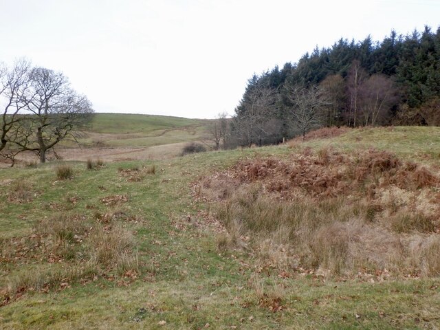
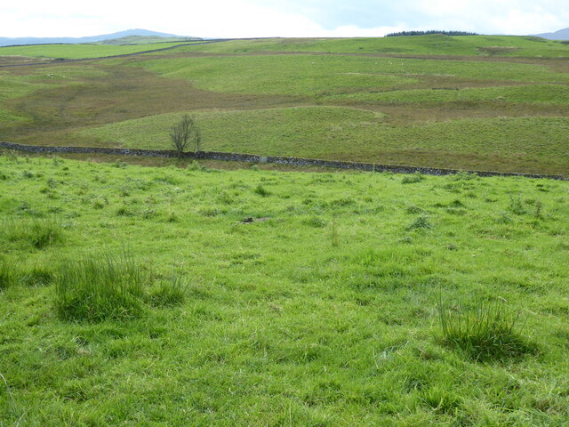
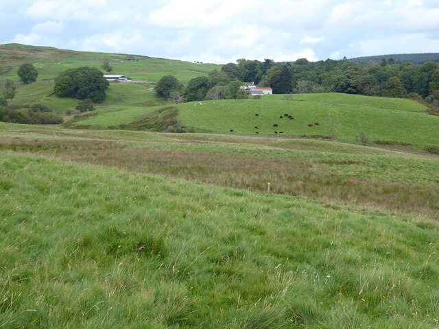
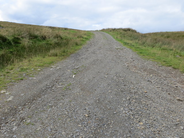
Standing at an elevation of 1,518 feet (463 meters), Bogue Fell offers stunning panoramic views of the surrounding countryside. It is characterized by its rounded summit and gentle slopes, covered in heather and grasses, making it an ideal destination for hillwalkers and nature enthusiasts.
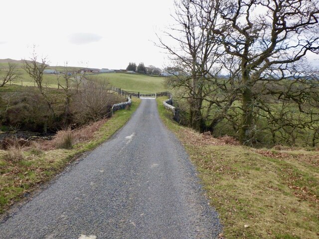
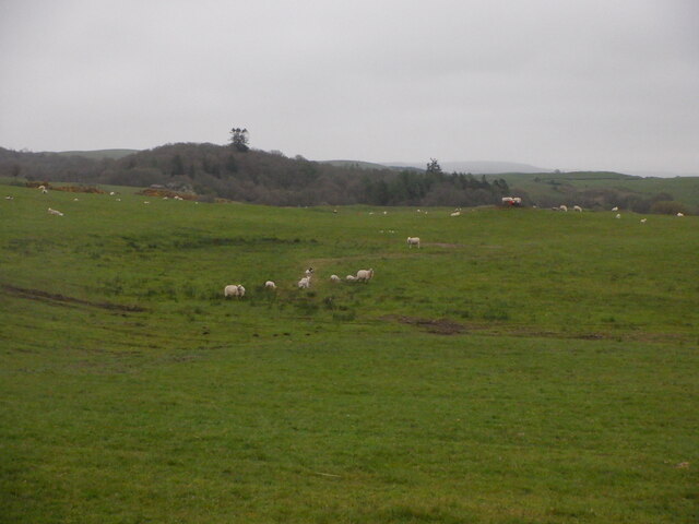
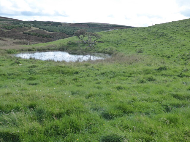
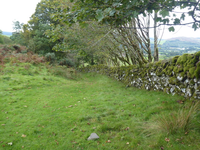
The hill is easily accessible via a well-marked path, although the terrain can be challenging at times, particularly in wet weather. The route to the summit takes visitors through a diverse landscape of moorland, rocky outcrops, and scattered woodlands, providing ample opportunities to observe local wildlife such as red grouse, roe deer, and various bird species.
Bogue Fell holds significant historical and archaeological interest as well. On its lower slopes, the remains of Iron Age settlements and hillforts can be found, hinting at ancient human activity in the area. The hill is also part of the Galloway Forest Park, a designated Dark Sky Park, making it an excellent spot for stargazing.
Overall, Bogue Fell offers a rewarding and picturesque hiking experience, combining natural beauty, historical intrigue, and breathtaking vistas of Kirkcudbrightshire's scenic landscapes.
If you have any feedback on the listing, please let us know in the comments section below.
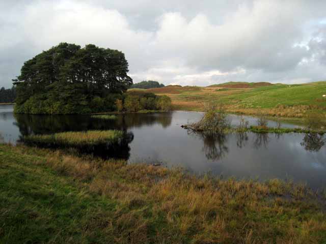
Bogue Fell Images
Images are sourced within 2km of 55.118163/-4.1266696 or Grid Reference NX6482. Thanks to Geograph Open Source API. All images are credited.


Bogue Fell is located at Grid Ref: NX6482 (Lat: 55.118163, Lng: -4.1266696)
Unitary Authority: Dumfries and Galloway
Police Authority: Dumfries and Galloway
What 3 Words
///node.punchy.bump. Near Castle Douglas, Dumfries & Galloway
Nearby Locations
Related Wikis

Barscobe Castle
Barscobe Castle is a 17th-century tower house in Balmaclellan, Kirkcudbrightshire, Scotland. It is a typical house of a country laird, and according to...

St John's Town of Dalry
St John's Town of Dalry (Scottish Gaelic: Clachan Eòin), usually referred to simply as Dalry (/dæl'raɪ/ / 'dal-RYE'), is a village in Dumfries and Galloway...

Lochinvar
Lochinvar (or Lan Var) is a loch in the civil parish of Dalry in the historic county of Kirkcudbrightshire, Dumfries and Galloway Scotland. It is located...

Balmaclellan
Balmaclellan (Scottish Gaelic: Baile Mac-a-ghille-dhiolan, meaning town of the MacLellans) is a small hillside village of stone houses with slate roofs...

Earlstoun Castle
Earlstoun Castle, sometimes spelled Earlston Castle, is a derelict tower house near St John's Town of Dalry in Dumfries and Galloway, Scotland. Built in...

Ken Bridge
The Ken Bridge is a road bridge about 0.8 kilometres (0.5 mi) north east of New Galloway in Dumfries and Galloway, Scotland, which carries the A712 road...

Kells, Dumfries and Galloway
Kells parish, in the Stewartry of Kirkcudbright in Scotland, is located 14 miles (NWbN) from Castle-Douglas, and 19 miles (NbW) from Kirkcudbright. It...

Polharrow Burn
Polharrow Burn is a small watercourse in Dumfries and Galloway, Scotland, in the historic county of Kirkcudbrightshire. It rises in Loch Harrow and flows...
Have you been to Bogue Fell?
Leave your review of Bogue Fell below (or comments, questions and feedback).