Bogue Moor
Downs, Moorland in Kirkcudbrightshire
Scotland
Bogue Moor

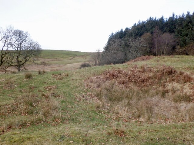
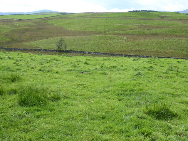
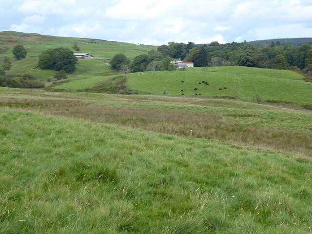
Bogue Moor, located in Kirkcudbrightshire, Scotland, is a picturesque expanse of downs and moorland that offers visitors a unique and tranquil experience. Covering an area of approximately 200 acres, the moorland is situated in the heart of the beautiful Galloway Forest Park.
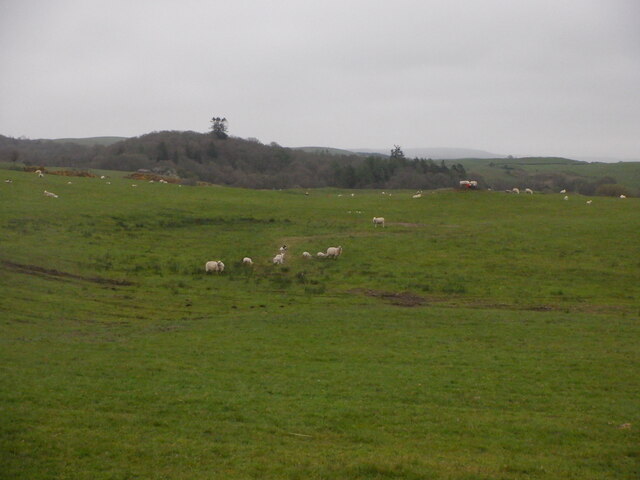
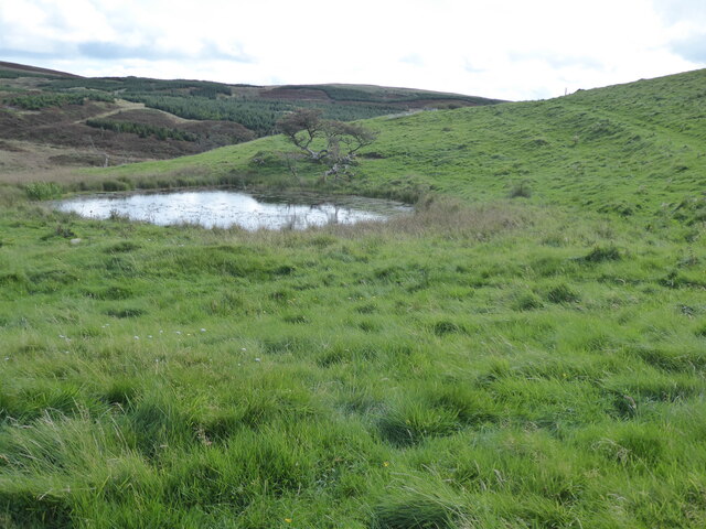
Bogue Moor is characterized by its rolling hills, heather-clad slopes, and scattered patches of woodland. The diverse landscape provides a habitat for a wide range of flora and fauna, making it a haven for nature enthusiasts and bird watchers. Visitors can spot various species of birds, including buzzards, kestrels, and peregrine falcons, as well as rare plants such as bog asphodel and sundew.
The moorland offers several walking trails, allowing visitors to explore the area at their own pace. The paths meander through the hills, offering breathtaking views of the surrounding countryside. During the summer months, the moorland blooms with vibrant colors as wildflowers carpet the landscape.
Bogue Moor is also popular among outdoor enthusiasts who engage in activities such as hiking, cycling, and picnicking. The peaceful atmosphere and unspoiled surroundings make it an ideal spot for those seeking tranquility and a break from the hustle and bustle of city life.
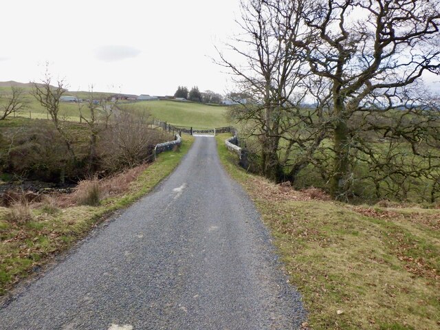
Visitors to Bogue Moor can also take advantage of the nearby facilities, including parking, picnic areas, and visitor information centers. The moorland is easily accessible, situated just off the A712 road, making it a convenient destination for day trips or longer stays in the Kirkcudbrightshire area.
Overall, Bogue Moor is a true gem in the Scottish countryside, offering a perfect blend of natural beauty, wildlife, and recreational opportunities for all who visit.
If you have any feedback on the listing, please let us know in the comments section below.
Bogue Moor Images
Images are sourced within 2km of 55.120891/-4.1192082 or Grid Reference NX6482. Thanks to Geograph Open Source API. All images are credited.


Bogue Moor is located at Grid Ref: NX6482 (Lat: 55.120891, Lng: -4.1192082)
Unitary Authority: Dumfries and Galloway
Police Authority: Dumfries and Galloway
What 3 Words
///somewhere.media.whoever. Near Castle Douglas, Dumfries & Galloway
Nearby Locations
Related Wikis

Barscobe Castle
Barscobe Castle is a 17th-century tower house in Balmaclellan, Kirkcudbrightshire, Scotland. It is a typical house of a country laird, and according to...

Lochinvar
Lochinvar (or Lan Var) is a loch in the civil parish of Dalry in the historic county of Kirkcudbrightshire, Dumfries and Galloway Scotland. It is located...

St John's Town of Dalry
St John's Town of Dalry (Scottish Gaelic: Clachan Eòin), usually referred to simply as Dalry (/dæl'raɪ/ / 'dal-RYE'), is a village in Dumfries and Galloway...

Balmaclellan
Balmaclellan (Scottish Gaelic: Baile Mac-a-ghille-dhiolan, meaning town of the MacLellans) is a small hillside village of stone houses with slate roofs...

Earlstoun Castle
Earlstoun Castle, sometimes spelled Earlston Castle, is a derelict tower house near St John's Town of Dalry in Dumfries and Galloway, Scotland. Built in...

Ken Bridge
The Ken Bridge is a road bridge about 0.8 kilometres (0.5 mi) north east of New Galloway in Dumfries and Galloway, Scotland, which carries the A712 road...

Loch Howie
Loch Howie is a small, narrow, upland freshwater loch on the north side of Blackcraig Hill, approximately 18 miles (29 km) west of Dumfries, Scotland....

Kells, Dumfries and Galloway
Kells parish, in the Stewartry of Kirkcudbright in Scotland, is located 14 miles (NWbN) from Castle-Douglas, and 19 miles (NbW) from Kirkcudbright. It...
Nearby Amenities
Located within 500m of 55.120891,-4.1192082Have you been to Bogue Moor?
Leave your review of Bogue Moor below (or comments, questions and feedback).