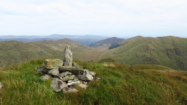
Beinn Domhnuill
Hill, Mountain in Perthshire
Scotland
Beinn Domhnuill

The requested URL returned error: 429 Too Many Requests
If you have any feedback on the listing, please let us know in the comments section below.
Beinn Domhnuill Images
Images are sourced within 2km of 56.351371/-4.1950757 or Grid Reference NN6419. Thanks to Geograph Open Source API. All images are credited.


Beinn Domhnuill is located at Grid Ref: NN6419 (Lat: 56.351371, Lng: -4.1950757)
Unitary Authority: Perth and Kinross
Police Authority: Tayside
What 3 Words
///angry.host.smile. Near Callander, Stirling
Nearby Locations
Related Wikis

Ben Vorlich, Loch Earn
Ben Vorlich (Scottish Gaelic: Beinn Mhùrlaig) is a mountain in the Southern Highlands of Scotland. It lies south of Loch Earn and Ardvorlich, and a short...

Stùc a' Chroin
Stùc a' Chroin (Scottish Gaelic: Stùc a' Chrodhain, 'cloven hoof peak') (also translated as 'hill of the little sheepfold' or 'peak of danger') is a mountain...
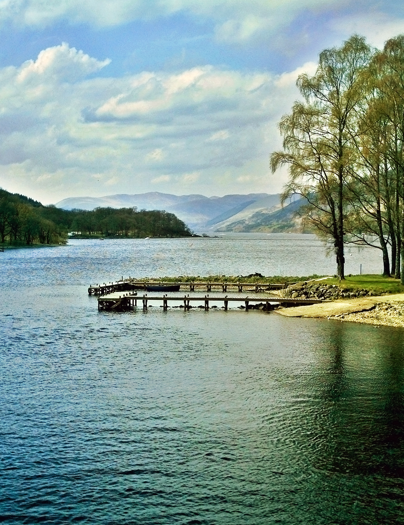
Loch Earn
Loch Earn (Scottish Gaelic, Loch Eire/Loch Éireann) is a freshwater loch in the southern highlands of Scotland, in the districts of Perth and Kinross and...

Falls of Edinample
The falls of Edinample is a waterfall near the village of Craggan in the district of Stirling in Scotland. == See also == Waterfalls of Scotland ��2�...
Have you been to Beinn Domhnuill?
Leave your review of Beinn Domhnuill below (or comments, questions and feedback).