Dodd Hill
Hill, Mountain in Kirkcudbrightshire
Scotland
Dodd Hill
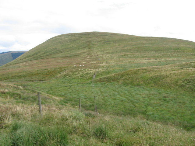
Dodd Hill is a prominent hill located in Kirkcudbrightshire, a historic county in the Dumfries and Galloway region of Scotland. With an elevation of 502 meters (1,647 feet), it is one of the notable hills in the area.
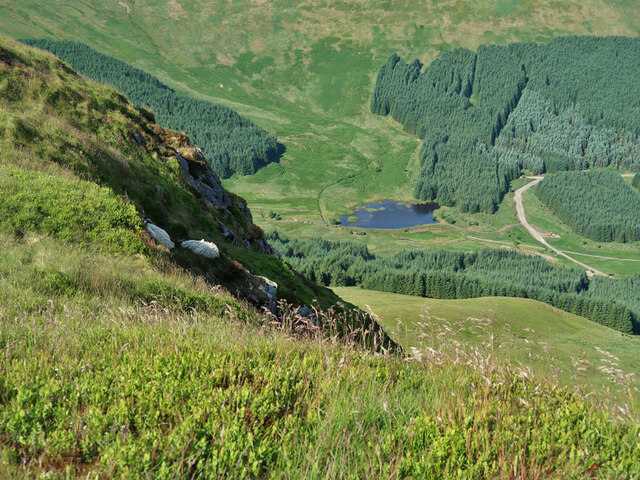
Situated near the village of Carsphairn, Dodd Hill offers breathtaking panoramic views of the surrounding countryside. The hill is part of the Galloway Forest Park, which is known for its diverse flora and fauna. The park covers an extensive area and is home to several other hills and mountains.
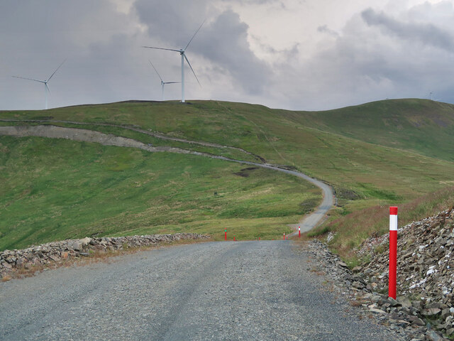
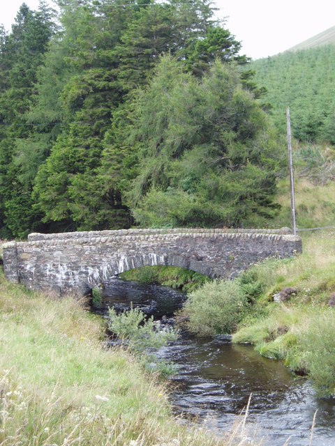
Dodd Hill is a popular destination for outdoor enthusiasts, hikers, and nature lovers. There are various trails that lead to the summit, offering a range of difficulty levels to cater to different abilities. The ascent provides an opportunity to experience the natural beauty of the area, with heather-clad slopes, rocky outcrops, and picturesque streams along the way.
Once at the top, visitors are rewarded with stunning vistas of the Galloway Hills, the Solway Firth, and even the Lake District in England on clear days. The hill also offers a chance to spot wildlife such as red deer, golden eagles, and peregrine falcons in their natural habitat.
Dodd Hill is easily accessible, with nearby parking facilities and well-marked paths. It provides an excellent outdoor experience for those seeking to explore the rugged beauty of the Scottish countryside.
If you have any feedback on the listing, please let us know in the comments section below.
Dodd Hill Images
Images are sourced within 2km of 55.260673/-4.1346721 or Grid Reference NX6498. Thanks to Geograph Open Source API. All images are credited.


Dodd Hill is located at Grid Ref: NX6498 (Lat: 55.260673, Lng: -4.1346721)
Unitary Authority: Dumfries and Galloway
Police Authority: Dumfries and Galloway
What 3 Words
///servicing.allows.goal. Near New Cumnock, East Ayrshire
Nearby Locations
Related Wikis

Windy Standard
Windy Standard is a hill in the Carsphairn and Scaur Hills range, part of the Southern Uplands of Scotland. It lies in Dumfries and Galloway, south of...

Cairnsmore of Carsphairn
Cairnsmore of Carsphairn is a hill in the Carsphairn and Scaur Hills range, part of the Southern Uplands of Scotland. An alternative name, rarely used...

Blackcraig Hill
Blackcraig Hill is a hill in the Carsphairn and Scaur Hills range, part of the Southern Uplands of Scotland. It lies southeast of the town of New Cumnock...

Carsphairn and Scaur Hills
The Carsphairn and Scaur Hills are the western and eastern hills respectively of a hill range in the Southern Uplands of Scotland. Ordnance Survey maps...
Have you been to Dodd Hill?
Leave your review of Dodd Hill below (or comments, questions and feedback).