Dungoil
Hill, Mountain in Stirlingshire
Scotland
Dungoil
The requested URL returned error: 429 Too Many Requests
If you have any feedback on the listing, please let us know in the comments section below.
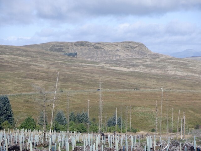
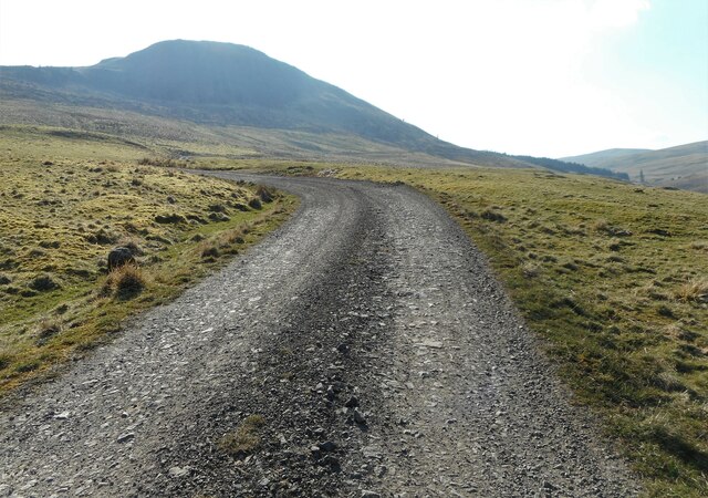
Dungoil Images
Images are sourced within 2km of 56.033899/-4.1936273 or Grid Reference NS6384. Thanks to Geograph Open Source API. All images are credited.


Dungoil is located at Grid Ref: NS6384 (Lat: 56.033899, Lng: -4.1936273)
Unitary Authority: Stirling
Police Authority: Forth Valley
What 3 Words
///twit.crypt.musician. Near Lennoxtown, East Dunbartonshire
Nearby Locations
Related Wikis
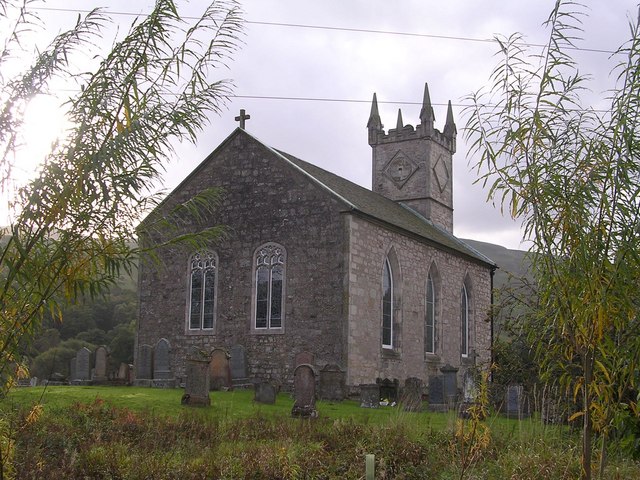
Fintry Kirk
Fintry Kirk is in the village of Fintry in Stirlingshire, Scotland. Fintry is a Church of Scotland Parish in the Presbytery of Stirling. The kirk is located...

Fintry Castle, Stirling
Fintry Castle, was a 15th-century castle near Fintry, Stirling, Scotland. The castle was built on the northern slopes of the valley of the Endrick Water...

Fintry
Fintry is a small riverside village in Stirlingshire, central Scotland. It is located 16 miles (26 km) south-west of Stirling and around 19 miles (31 km...

Loup of Fintry
Loup of Fintry is a notable waterfall on the River Endrick around 2 miles to the east of Fintry in Scotland and 17 miles from Stirling, 10 miles from Denny...
Nearby Amenities
Located within 500m of 56.033899,-4.1936273Have you been to Dungoil?
Leave your review of Dungoil below (or comments, questions and feedback).