Bankben
Hill, Mountain in Kirkcudbrightshire
Scotland
Bankben

Bankben is a small hill located in Kirkcudbrightshire, Scotland. It is situated near the town of Gatehouse of Fleet and offers stunning views of the surrounding countryside. The hill is part of the Galloway Forest Park, which is known for its rugged terrain and diverse wildlife.
Bankben stands at an elevation of approximately 250 meters (820 feet) above sea level, making it a popular destination for hikers and outdoor enthusiasts. The hill is covered in a mix of grasses, heather, and scrub vegetation, providing habitat for a variety of bird species and small mammals.
Visitors to Bankben can enjoy a leisurely walk to the summit, where they will be rewarded with panoramic views of the rolling hills and forests of Kirkcudbrightshire. On a clear day, it is possible to see all the way to the coast and even to the Isle of Man.
Overall, Bankben is a peaceful and picturesque spot that offers a taste of the natural beauty of the Scottish countryside. Whether you are looking for a challenging hike or simply a place to relax and enjoy the views, Bankben has something to offer for everyone.
If you have any feedback on the listing, please let us know in the comments section below.
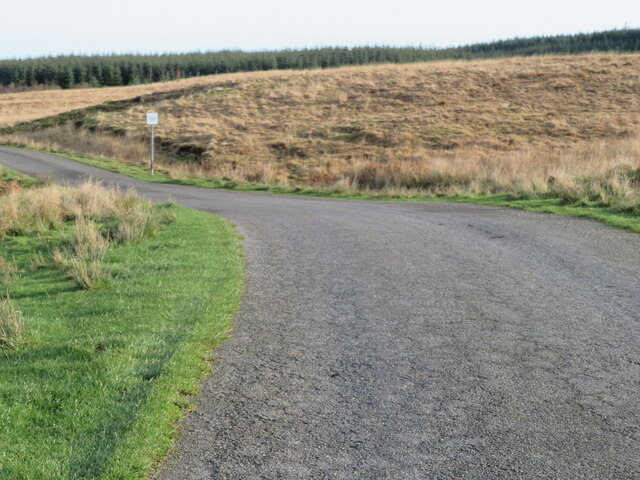
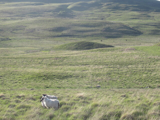
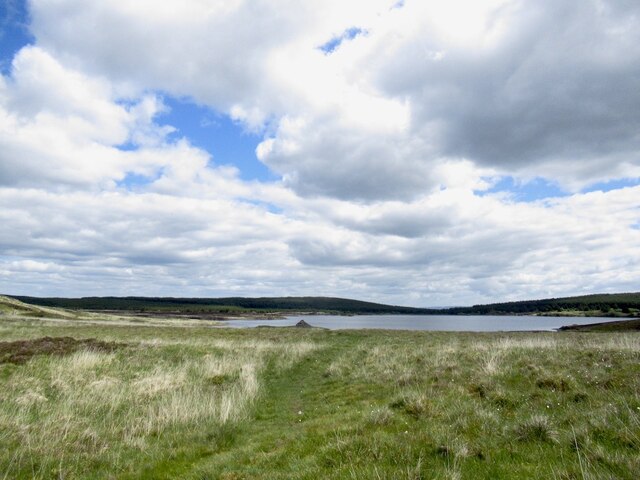
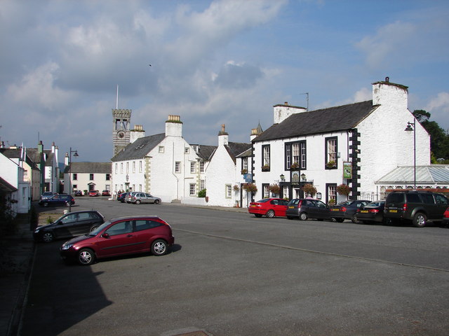
Bankben Images
Images are sourced within 2km of 54.929702/-4.1331148 or Grid Reference NX6361. Thanks to Geograph Open Source API. All images are credited.


Bankben is located at Grid Ref: NX6361 (Lat: 54.929702, Lng: -4.1331148)
Unitary Authority: Dumfries and Galloway
Police Authority: Dumfries and Galloway
What 3 Words
///boarded.ballooned.goals. Near Kirkcudbright, Dumfries & Galloway
Nearby Locations
Related Wikis
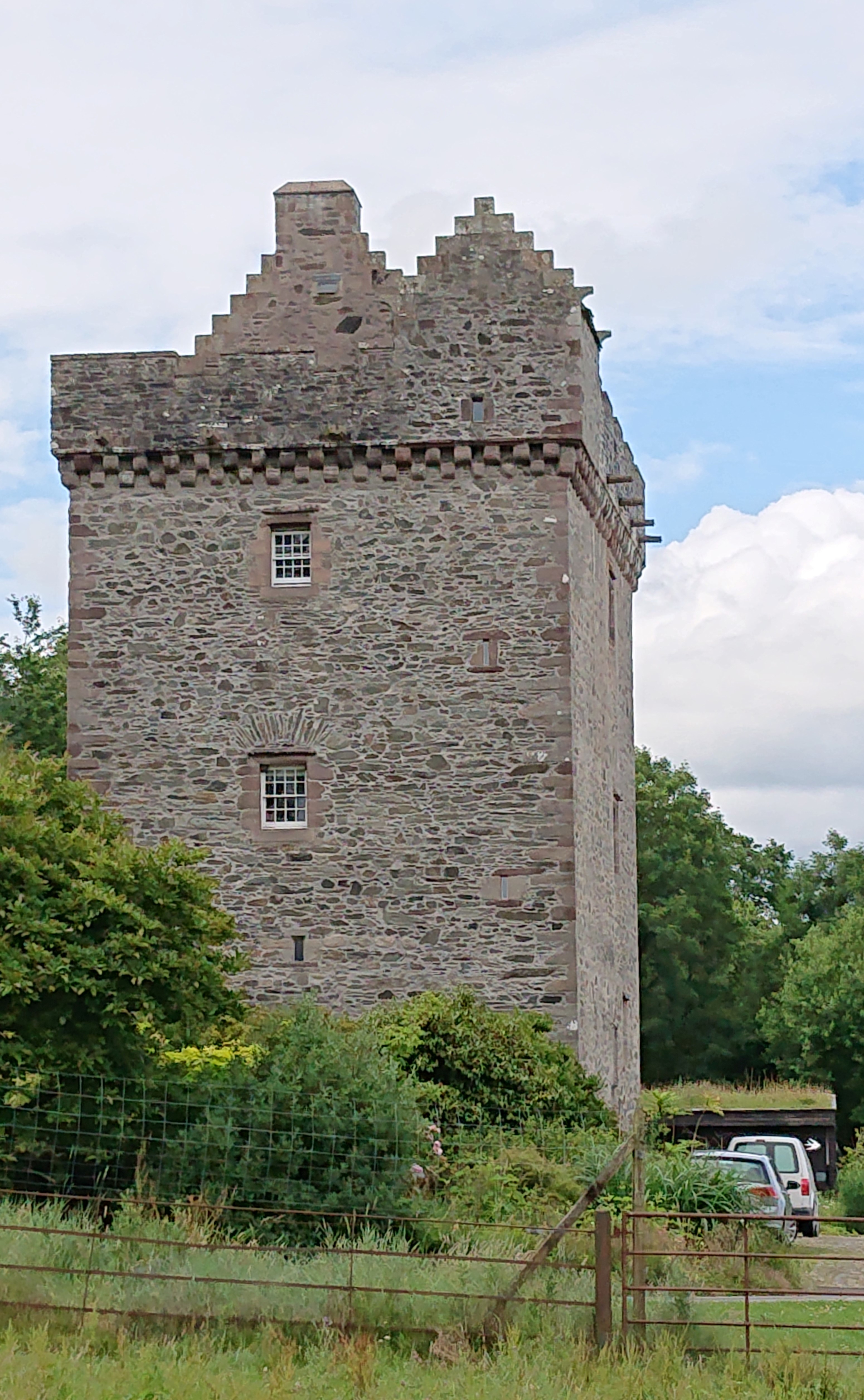
Rusco Tower
Rusco Tower, sometimes called Rusco Castle, is a tower house near Gatehouse of Fleet in Dumfries and Galloway, Scotland. Built around 1500 for Mariota...
Gatehouse of Fleet
Gatehouse of Fleet (Scots: Gatehoose o Fleet Scottish Gaelic: Taigh an Rathaid) is a town, half in the civil parish of Girthon, and half in the parish...

Gatehouse of Fleet Town Hall
Gatehouse of Fleet Town Hall is a former municipal building in the High Street in Gatehouse of Fleet, Dumfries and Galloway, Scotland. The structure, which...

Ringford
Ringford is a village in the historical county of Kirkcudbrightshire in Dumfries and Galloway located at grid reference NX689578 beside the Tarff Water...
Have you been to Bankben?
Leave your review of Bankben below (or comments, questions and feedback).