Bennan Hill

Hill, Mountain in Kirkcudbrightshire

Scotland

Bennan Hill

Moorland at Darngarroch Fenced-off from the road to Laurieston. Looking north to Clack Hill.
Moorland at Darngarroch Credit: M J Richardson

Bennan Hill, located in Kirkcudbrightshire, Scotland, is a prominent hill/mountain that stands at an elevation of 467 meters (1,532 feet). It is part of the larger Galloway Hills range, which is renowned for its rugged and picturesque landscapes. The hill is situated near the town of Carsphairn and is easily accessible to hikers and outdoor enthusiasts.

Bennan Hill boasts a distinctive conical shape, providing a striking silhouette against the surrounding countryside. The hill is primarily composed of granite and is covered in heather, grasses, and scattered rocks. Its slopes are relatively steep, which can present a challenge to those attempting to reach the summit.

The ascent to the top of Bennan Hill offers breathtaking panoramic views of the surrounding area, including the nearby Loch Doon and the Galloway Forest Park. On a clear day, it is possible to see as far as the Isle of Arran and the Ayrshire coast.

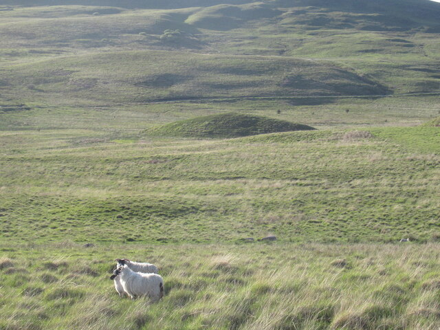
The hill is a popular destination for walkers and nature lovers, who appreciate the tranquility and natural beauty of the area. The surrounding region is home to a variety of wildlife, including birds of prey, red deer, and mountain hares.

Visitors to Bennan Hill are advised to come prepared with appropriate hiking gear, as the terrain can be challenging, especially in inclement weather. Additionally, it is recommended to check local weather conditions and adhere to safety guidelines when exploring the area.

If you have any feedback on the listing, please let us know in the comments section below.
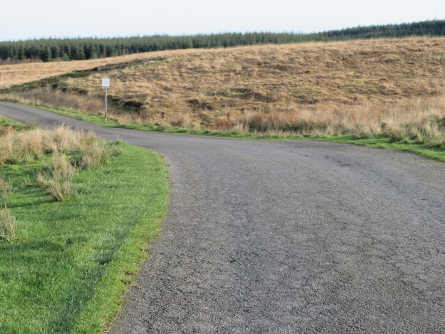
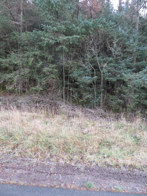
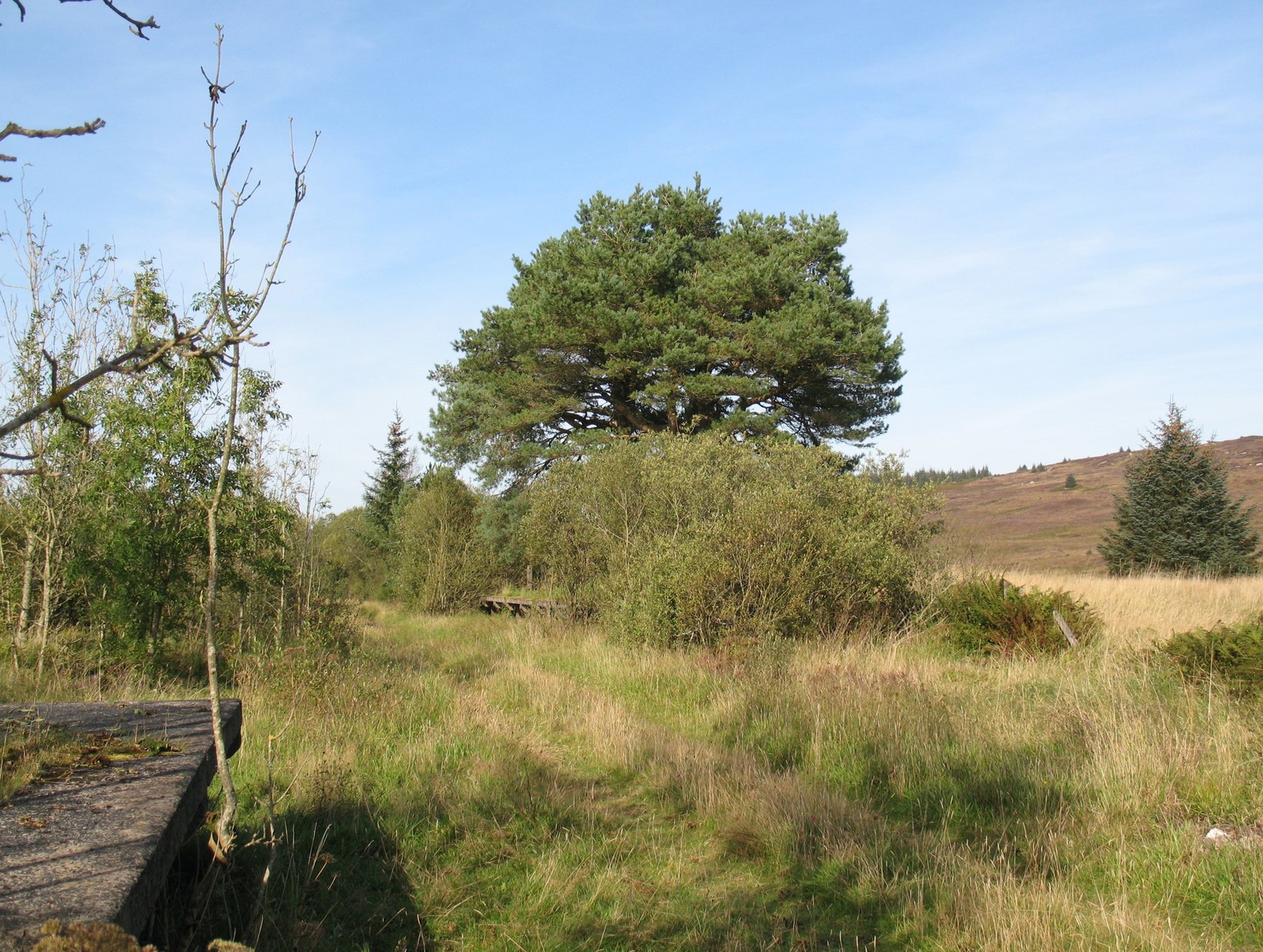
Bennan Hill Images

Images are sourced within 2km of 54.957227/-4.143695 or Grid Reference NX6264. Thanks to Geograph Open Source API. All images are credited.

Moorland at Darngarroch Fenced-off from the road to Laurieston. Looking north to Clack Hill.
Moorland at Darngarroch
Fenced-off from the road to Laurieston. Looking north to Clack Hill.
Moorland at Darngarroch With the road to Laurieston, and forestry on Black Hill.
Moorland at Darngarroch
With the road to Laurieston, and forestry on Black Hill.
The road to Laurieston With Passing Place sign. Looking east towards extensive forestry on Black Hill.
The road to Laurieston
With Passing Place sign. Looking east towards extensive forestry on Black Hill.
Darngarroch Bridge Carrying the minor road to Laurieston over the Derrygown Burn. The woodland is the western edge of the Galloway Forest Park.
Darngarroch Bridge
Carrying the minor road to Laurieston over the Derrygown Burn. The woodland is the western edge of the Galloway Forest Park.
Autumn landscape In the Galloway Forest Park, looking north to Laughenghie Hill, with Ewe Hill on the left.
Autumn landscape
In the Galloway Forest Park, looking north to Laughenghie Hill, with Ewe Hill on the left.
Forestry on Black Hill Just in the NW of the square and the edge of the minor road to Laurieston.
Forestry on Black Hill
Just in the NW of the square and the edge of the minor road to Laurieston.
Track into Laurieston Forest With some 'guardian' Willows.
Track into Laurieston Forest
With some 'guardian' Willows.
Minor road to Laurieston Through the Galloway Forest Park.
Minor road to Laurieston
Through the Galloway Forest Park.
Forestry near Lochenbreck Sitka Spruce in Laurieston Forest.
Forestry near Lochenbreck
Sitka Spruce in Laurieston Forest.
Laurieston Forest Sitka Spruce and roadside bracken.
Laurieston Forest
Sitka Spruce and roadside bracken.
Communication mast in Laurieston Forest Just off the minor road from Gatehouse of Fleet to Laurieston.
Communication mast in Laurieston Forest
Just off the minor road from Gatehouse of Fleet to Laurieston.
Ramerish Holiday Cottage Adjacent to Lochenbreck Cottage, near Laurieston.
Ramerish Holiday Cottage
Adjacent to Lochenbreck Cottage, near Laurieston.
Ruined dyke, Darngarroch Beside the ruin, now surrounded by forest including diseased larch.
Ruined dyke, Darngarroch
Beside the ruin, now surrounded by forest including diseased larch.
View from Darngarroch From the edge of the Laurieston Forest towards Craig of Grobdale.
View from Darngarroch
From the edge of the Laurieston Forest towards Craig of Grobdale.
Woodland, Darngarroch Bridge Edge of Laurieston Forest.
Woodland, Darngarroch Bridge
Edge of Laurieston Forest.
View towards Airie Hill From the Gatehouse of Fleet to Laurieston road.
View towards Airie Hill
From the Gatehouse of Fleet to Laurieston road.
Sheep near Darngarroch Rough grazing, Grobdale.
Sheep near Darngarroch
Rough grazing, Grobdale.
Moorland near Darngarroch
Show me another place!

Bennan Hill is located at Grid Ref: NX6264 (Lat: 54.957227, Lng: -4.143695)

Unitary Authority: Dumfries and Galloway

Police Authority: Dumfries and Galloway

What 3 Words

///measuring.position.sizzled. Near Castle Douglas, Dumfries & Galloway

Nearby Locations

Bennan Hill

Related Wikis

Skerrow

Skerrow was a burgh in Dumfries and Galloway, Scotland. Loch Skerrow Halt railway station, on the Portpatrick and Wigtownshire Joint Railway, served Skerrow...

Loch Skerrow Halt railway station

Loch Skerrow Halt railway station served the burgh of Skerrow, Dumfries and Galloway, Scotland on the Portpatrick and Wigtownshire Joint Railway. ��2...
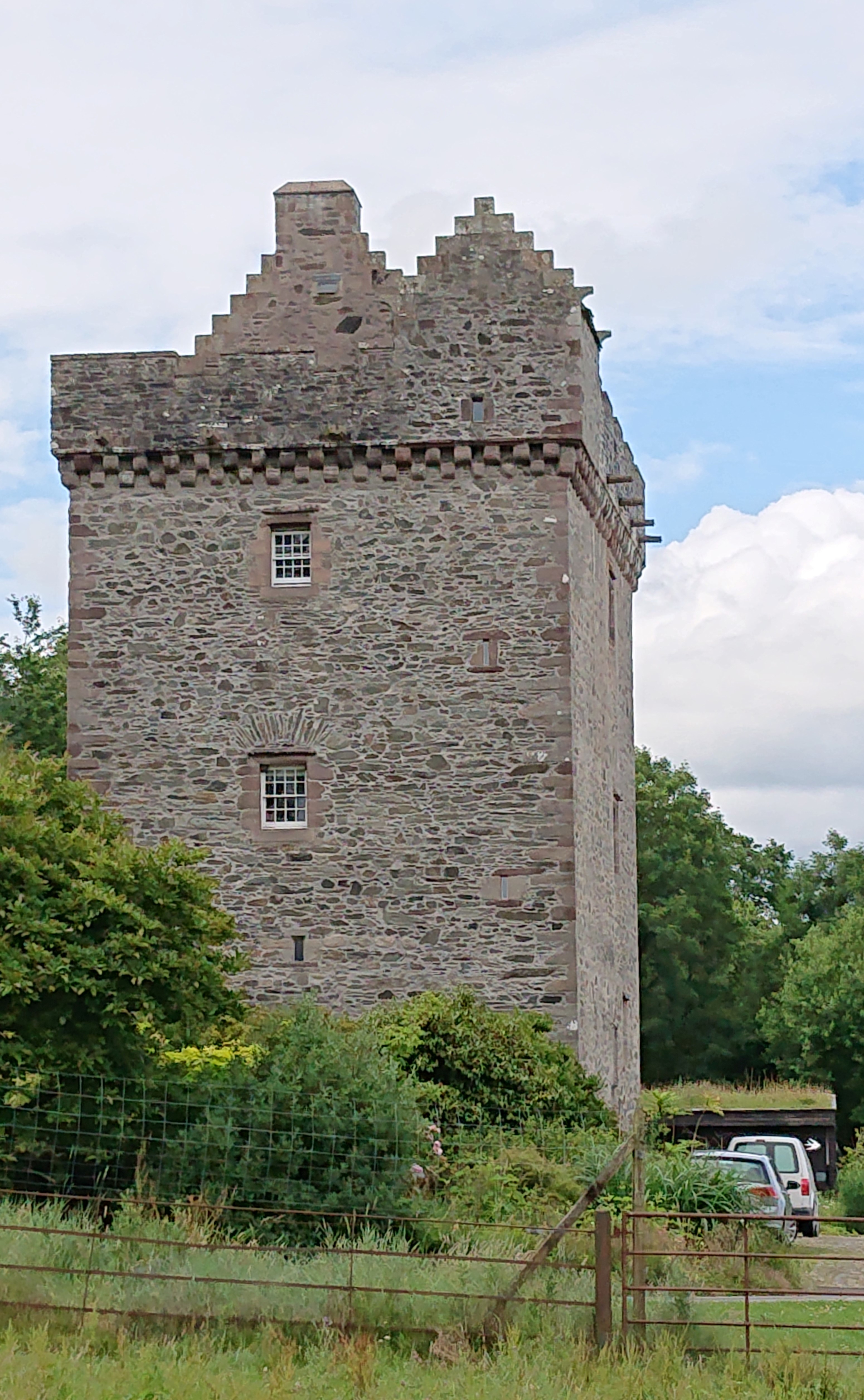
Rusco Tower

Rusco Tower, sometimes called Rusco Castle, is a tower house near Gatehouse of Fleet in Dumfries and Galloway, Scotland. Built around 1500 for Mariota...

New Galloway railway station

New Galloway railway station served the town of New Galloway in Dumfries and Galloway, Scotland, from 1861 to 1965 on the Portpatrick and Wigtownshire...

Nearby Amenities

Located within 500m of 54.957227,-4.143695
Power: pole
Lat/Long: 54.9553475/-4.1497933
Power: pole
Lat/Long: 54.9553915/-4.1484931
Power: pole
Lat/Long: 54.9554183/-4.1479493
Power: pole
Lat/Long: 54.9544253/-4.1475116
Power: pole
Lat/Long: 54.953492/-4.1470931
Power: pole
Lat/Long: 54.955572/-4.1364304
Power: pole
Lat/Long: 54.9551182/-4.1377327
Power: pole
Lat/Long: 54.9546498/-4.1390499
Power: pole
Lat/Long: 54.9542094/-4.1403225
Power: pole
Lat/Long: 54.9537739/-4.1415291
Power: pole
Lat/Long: 54.9536885/-4.1431671
Power: pole
Lat/Long: 54.9536238/-4.1444142
Power: pole
Lat/Long: 54.9535604/-4.1457335
The data included in this document is from www.openstreetmap.org. The data is made available under ODbL.

Have you been to Bennan Hill?

Leave your review of Bennan Hill below (or comments, questions and feedback).