Boltcraig Hill

Hill, Mountain in Ayrshire

Scotland

Boltcraig Hill

Large flat parking area south of Craigdarroch There have been a lot of forestry and wind turbine operations in the area;  this may have been related.
Large flat parking area south of Craigdarroch Credit: Gordon Brown

Boltcraig Hill is a prominent hill located in Ayrshire, Scotland. Situated near the village of Dundonald, it is part of the Southern Uplands range, which stretches across the southern region of the country. With an elevation of 228 meters (748 feet), it is not classified as a mountain but is considered a notable hill in the area.

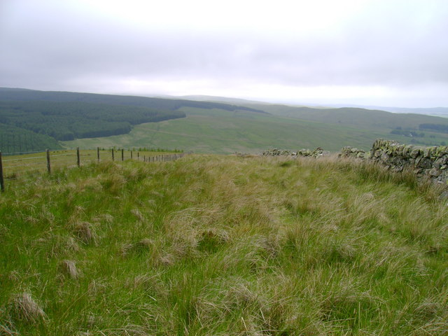
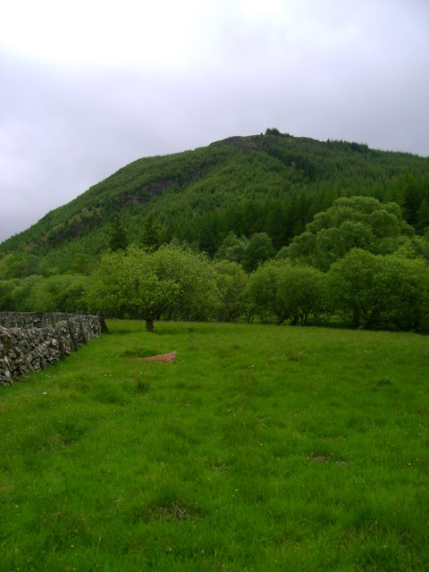
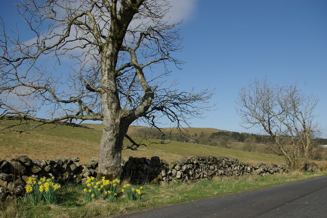
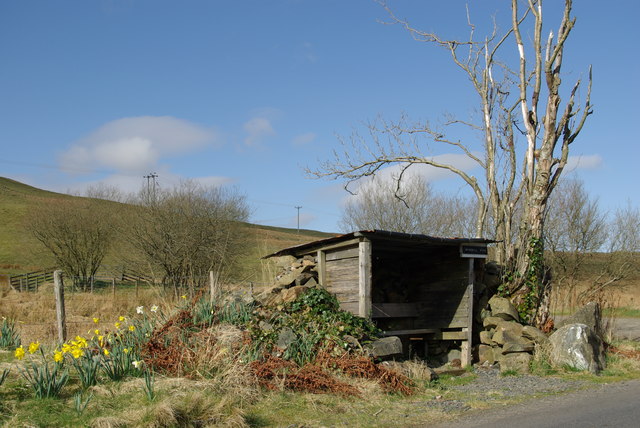
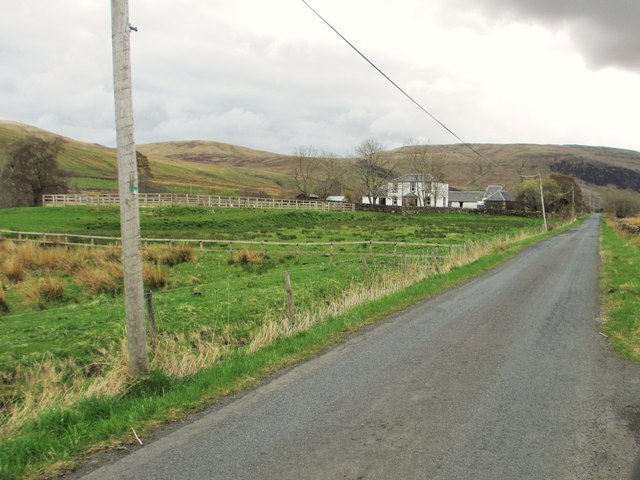
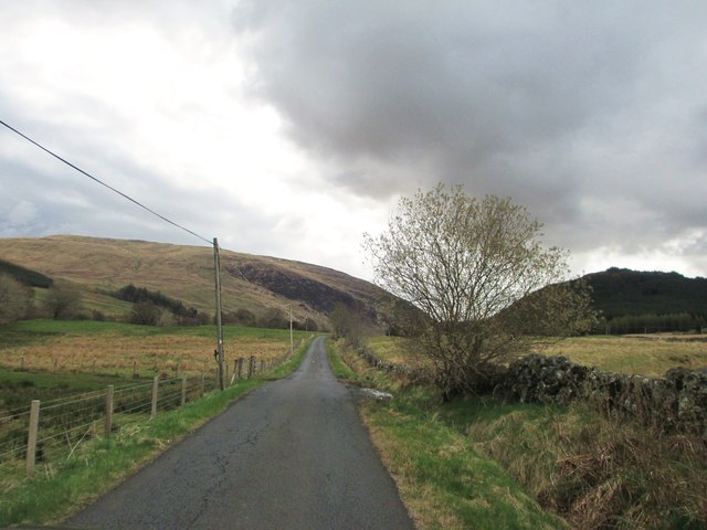
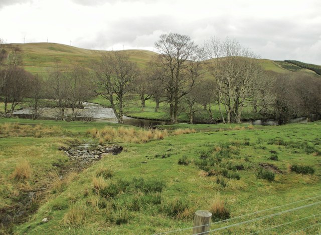
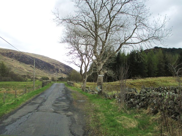
The hill boasts a picturesque landscape, with a combination of grassy slopes, heather-covered moorland, and scattered trees. It offers stunning panoramic views of the surrounding countryside, including the Ayrshire coast and the Isle of Arran to the west. On a clear day, it is even possible to see the peaks of the Galloway Hills in the distance.

Boltcraig Hill is a popular destination for outdoor enthusiasts, including hikers, walkers, and nature lovers. Several well-maintained trails lead to the summit, offering a variety of paths for different skill levels. The hill is also home to a diverse range of flora and fauna, including wildflowers, birds, and small mammals.

Additionally, Boltcraig Hill holds historical significance. The ruins of a hill fort, believed to date back to the Iron Age, can be found on its slopes. This fortification provides insights into the ancient history and settlements of the area.

Overall, Boltcraig Hill offers a rewarding outdoor experience for visitors, combining natural beauty, recreational opportunities, and a glimpse into the past.

If you have any feedback on the listing, please let us know in the comments section below.

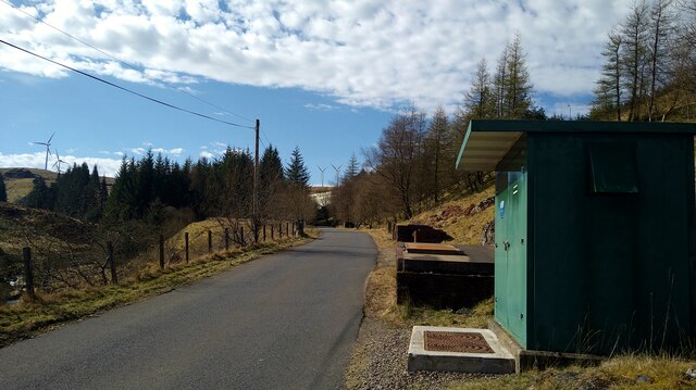
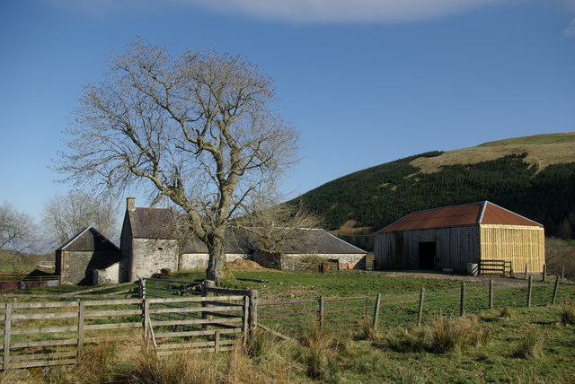
Boltcraig Hill Images

Images are sourced within 2km of 55.343841/-4.164584 or Grid Reference NS6207. Thanks to Geograph Open Source API. All images are credited.

Large flat parking area south of Craigdarroch There have been a lot of forestry and wind turbine operations in the area;  this may have been related.
Large flat parking area south of Craigdarroch
There have been a lot of forestry and wind turbine operations in the area; this may have been related.
The road to the Afton Reservoir Although shown by the OS as a 'track' this is a well surfaced road leading to the reservoir and filter station.
The road to the Afton Reservoir
Although shown by the OS as a 'track' this is a well surfaced road leading to the reservoir and filter station.
The road to the Afton Reservoir and Filter Station The green cabinet is the Afton Regulatory Final Sample Point for the water supply.
The road to the Afton Reservoir and Filter Station
The green cabinet is the Afton Regulatory Final Sample Point for the water supply.
Deteriorating path South of Black Loch, the marked path deteriorates from a forest track to an indistinct line through a maze of rarely trodden firebreaks.
Deteriorating path
South of Black Loch, the marked path deteriorates from a forest track to an indistinct line through a maze of rarely trodden firebreaks.
Between wall and fence Although this stretch of dry stone wall is dilapidated, allowing easy access from the right, sheep seem to have relatively little interest in this narrow parcel of land judging by the length of the grass.
Between wall and fence
Although this stretch of dry stone wall is dilapidated, allowing easy access from the right, sheep seem to have relatively little interest in this narrow parcel of land judging by the length of the grass.
Meadow near Blackcraig Meadow on the east bank of Afton Water with Boltcraig Hill in the background.
Meadow near Blackcraig
Meadow on the east bank of Afton Water with Boltcraig Hill in the background.
Lochingerroch Farm in Glen Afton
Lochingerroch
Farm in Glen Afton
Glen Afton road near Lochingerroch
Roadside shelter 'Windmill View' south of Lochingerroch One of several similar shelters to be found in Glen Afton
Roadside shelter 'Windmill View' south of Lochingerroch
One of several similar shelters to be found in Glen Afton
A minor road at Lochingerroch
The entrance to Lochingerroch
Heading into Glen Afton
Afton Water with Hare Hill Wind Farm in the distance
Bolt Burn Bridge
Bolt Burn Bridge
The entrance to Craigdarroch
Craigdarroch
Craigdarroch
A track to a bridge over Afton Water The minor road, on the right, leads to Afton Filter Station.
A track to a bridge over Afton Water
The minor road, on the right, leads to Afton Filter Station.
Heading towards Afton Filter Station
Show me another place!

Boltcraig Hill is located at Grid Ref: NS6207 (Lat: 55.343841, Lng: -4.164584)

Unitary Authority: East Ayrshire

Police Authority: Ayrshire

What 3 Words

///safest.contoured.redefined. Near New Cumnock, East Ayrshire

Nearby Locations

Boltcraig Hill

Related Wikis

Blackcraig Hill

Blackcraig Hill is a hill in the Carsphairn and Scaur Hills range, part of the Southern Uplands of Scotland. It lies southeast of the town of New Cumnock...

Knockshinnoch disaster

The Knockshinnoch disaster was a mining accident that occurred in September 1950 in the village of New Cumnock, Ayrshire, Scotland. A glaciated lake filled...

New Cumnock Town Hall

New Cumnock Town Hall is a municipal building in Castle, New Cumnock, East Ayrshire, Scotland. The structure, which is used as a community events venue...

New Cumnock

New Cumnock is a town in East Ayrshire, Scotland. It expanded during the coal-mining era from the late 18th century, and mining remained its key industry...

Nearby Amenities

Located within 500m of 55.343841,-4.164584
Barrier: cattle_grid
Source: survey
Lat/Long: 55.3467106/-4.1601727
Power: pole
Lat/Long: 55.3398095/-4.1613237
Power: pole
Lat/Long: 55.3405055/-4.1614572
Power: pole
Lat/Long: 55.3406097/-4.1604913
Power: pole
Lat/Long: 55.3407229/-4.1594417
The data included in this document is from www.openstreetmap.org. The data is made available under ODbL.

Have you been to Boltcraig Hill?

Leave your review of Boltcraig Hill below (or comments, questions and feedback).