Dunkessen
Hill, Mountain in Stirlingshire
Scotland
Dunkessen
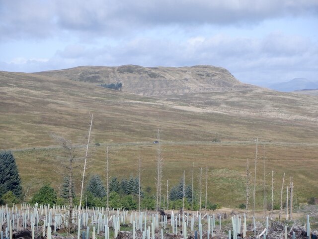
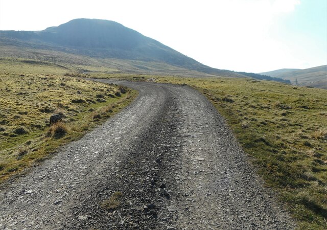
Dunkessen is a prominent hill located in Stirlingshire, Scotland. Standing at an elevation of 401 meters (1316 feet), it is a popular destination for hikers and outdoor enthusiasts seeking panoramic views of the surrounding countryside. The hill is part of the Campsie Fells range and is situated near the village of Fintry.
Dunkessen is known for its rugged terrain, with steep slopes and rocky outcrops providing a challenging yet rewarding climb for visitors. The summit offers stunning vistas of the Campsie Fells, Loch Lomond and the Trossachs National Park, making it a prime spot for photography and observation.
The hill is accessible via several well-marked trails that wind through the surrounding countryside, offering hikers a variety of options for reaching the summit. Wildlife such as red deer, birds of prey, and wildflowers can often be spotted along the way, adding to the natural beauty of the area.
Overall, Dunkessen is a must-visit destination for those looking to experience the natural beauty and rugged landscapes of Stirlingshire.
If you have any feedback on the listing, please let us know in the comments section below.
Dunkessen Images
Images are sourced within 2km of 56.043821/-4.2067143 or Grid Reference NS6285. Thanks to Geograph Open Source API. All images are credited.


Dunkessen is located at Grid Ref: NS6285 (Lat: 56.043821, Lng: -4.2067143)
Unitary Authority: Stirling
Police Authority: Forth Valley
What 3 Words
///hopes.minimums.requires. Near Lennoxtown, East Dunbartonshire
Nearby Locations
Related Wikis
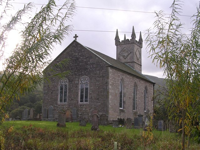
Fintry Kirk
Fintry Kirk is in the village of Fintry in Stirlingshire, Scotland. Fintry is a Church of Scotland Parish in the Presbytery of Stirling. The kirk is located...

Fintry
Fintry is a small riverside village in Stirlingshire, central Scotland. It is located 16 miles (26 km) south-west of Stirling and around 19 miles (31 km...

Fintry Castle, Stirling
Fintry Castle, was a 15th-century castle near Fintry, Stirling, Scotland. The castle was built on the northern slopes of the valley of the Endrick Water...

Culcreuch Castle
Culcreuch Castle is a Scottish castle close to the village of Fintry, near Loch Lomond. It had been the home of the Barons of Culcreuch since 1699. In...
Nearby Amenities
Located within 500m of 56.043821,-4.2067143Have you been to Dunkessen?
Leave your review of Dunkessen below (or comments, questions and feedback).