Barlaes Hill
Hill, Mountain in Kirkcudbrightshire
Scotland
Barlaes Hill

Barlaes Hill is a prominent hill located in the historic county of Kirkcudbrightshire, in southwest Scotland. Situated near the village of Parton, it forms part of the picturesque landscape of the Galloway Hills.
Rising to an elevation of approximately 482 meters (1,581 feet), Barlaes Hill offers breathtaking panoramic views of the surrounding countryside. Its distinctive cone-shaped summit is covered in heather, creating a vibrant purple hue during the summer months. The hill is a popular destination for hikers and nature enthusiasts, providing an opportunity to explore the diverse flora and fauna of the region.
The ascent to the top of Barlaes Hill is relatively moderate, with a well-defined path leading visitors through rolling moorland and rocky outcrops. Along the way, walkers may encounter grazing sheep and the occasional red grouse, adding to the idyllic charm of the area.
At the summit, a trig point marks the highest point of the hill, offering a perfect vantage point to appreciate the awe-inspiring views of the surrounding landscape. On clear days, the Solway Firth and the distant peaks of the Lake District in England can be seen in the distance.
Barlaes Hill is also steeped in history, with various archaeological remains scattered across its slopes. The hill is believed to have been an important site during the Iron Age, and remnants of ancient settlements and fortifications can still be found.
Overall, Barlaes Hill provides a captivating natural environment, rich in both beauty and historical significance, making it a must-visit destination for outdoor enthusiasts and history buffs alike.
If you have any feedback on the listing, please let us know in the comments section below.
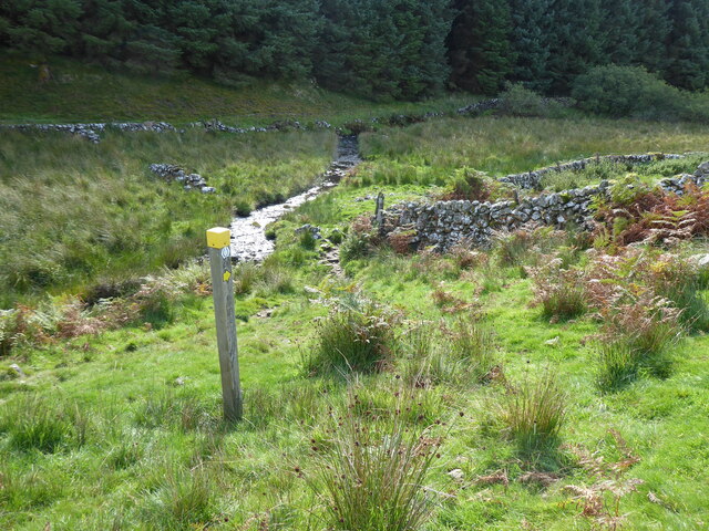
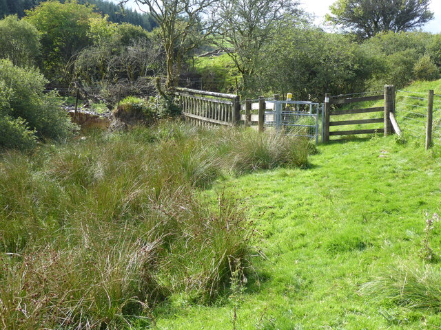
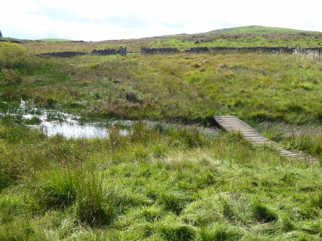
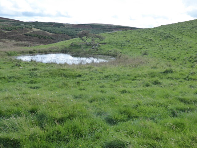
Barlaes Hill Images
Images are sourced within 2km of 55.147016/-4.158336 or Grid Reference NX6285. Thanks to Geograph Open Source API. All images are credited.


Barlaes Hill is located at Grid Ref: NX6285 (Lat: 55.147016, Lng: -4.158336)
Unitary Authority: Dumfries and Galloway
Police Authority: Dumfries and Galloway
What 3 Words
///rejects.watch.overgrown. Near Bellsbank, East Ayrshire
Nearby Locations
Related Wikis

Earlstoun Castle
Earlstoun Castle, sometimes spelled Earlston Castle, is a derelict tower house near St John's Town of Dalry in Dumfries and Galloway, Scotland. Built in...

Polharrow Burn
Polharrow Burn is a small watercourse in Dumfries and Galloway, Scotland, in the historic county of Kirkcudbrightshire. It rises in Loch Harrow and flows...

Lochinvar
Lochinvar (or Lan Var) is a loch in the civil parish of Dalry in the historic county of Kirkcudbrightshire, Dumfries and Galloway Scotland. It is located...

Waukers Linn
Waukers Linn is a waterfall on Polharrow Burn in Dumfries and Galloway, Scotland. == See also == Waterfalls of Scotland == References ==

St John's Town of Dalry
St John's Town of Dalry (Scottish Gaelic: Clachan Eòin), usually referred to simply as Dalry (/dæl'raɪ/ / 'dal-RYE'), is a village in Dumfries and Galloway...

Barscobe Castle
Barscobe Castle is a 17th-century tower house in Balmaclellan, Kirkcudbrightshire, Scotland. It is a typical house of a country laird, and according to...

Balmaclellan
Balmaclellan (Scottish Gaelic: Baile Mac-a-ghille-dhiolan, meaning town of the MacLellans) is a small hillside village of stone houses with slate roofs...

Kells, Dumfries and Galloway
Kells parish, in the Stewartry of Kirkcudbright in Scotland, is located 14 miles (NWbN) from Castle-Douglas, and 19 miles (NbW) from Kirkcudbright. It...
Nearby Amenities
Located within 500m of 55.147016,-4.158336Have you been to Barlaes Hill?
Leave your review of Barlaes Hill below (or comments, questions and feedback).