White Hill

Hill, Mountain in Kirkcudbrightshire

Scotland

White Hill

Fire Station, New Galloway The fire station on the south side of the A712 seen across a lawned area.
Fire Station, New Galloway Credit: Trevor Littlewood

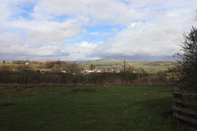
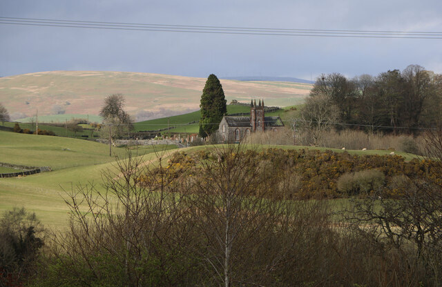
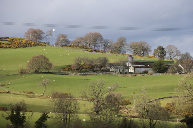
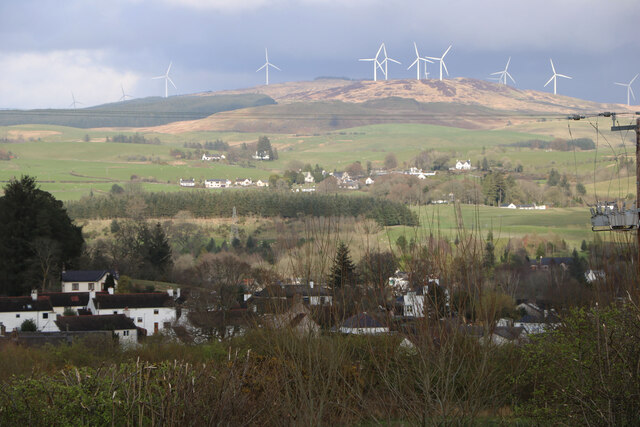
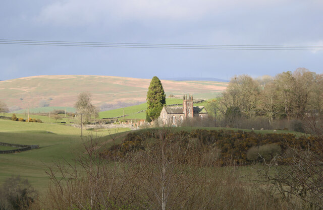
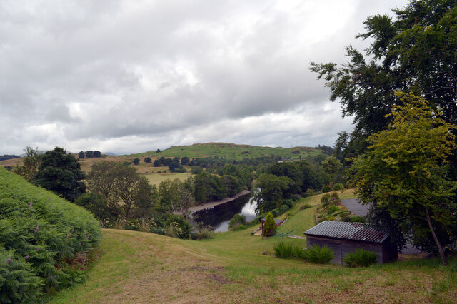
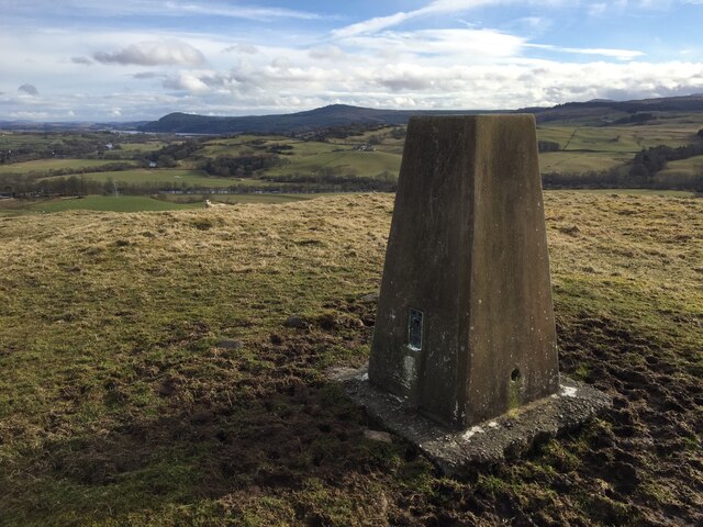
White Hill is a prominent hill located in the region of Kirkcudbrightshire in Scotland. Standing at an elevation of 248 meters (814 feet), it offers stunning panoramic views of the surrounding countryside and coastline. The hill is characterized by its gently sloping grassy slopes and rocky outcrops, making it a popular destination for hikers and nature enthusiasts.

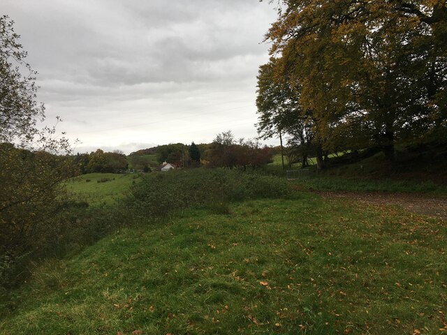
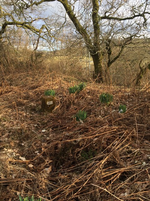
White Hill is situated within close proximity to the town of Kirkcudbright, making it easily accessible for visitors looking to explore the area. The hill is also home to a variety of plant and animal species, providing a diverse and vibrant ecosystem for wildlife enthusiasts to observe.

The summit of White Hill offers a perfect vantage point for capturing breathtaking views of the Solway Firth and the rolling hills of Kirkcudbrightshire. On a clear day, visitors can see as far as the Lake District in England.

Overall, White Hill is a picturesque and tranquil destination, offering visitors a chance to immerse themselves in the natural beauty of the Scottish countryside.

If you have any feedback on the listing, please let us know in the comments section below.
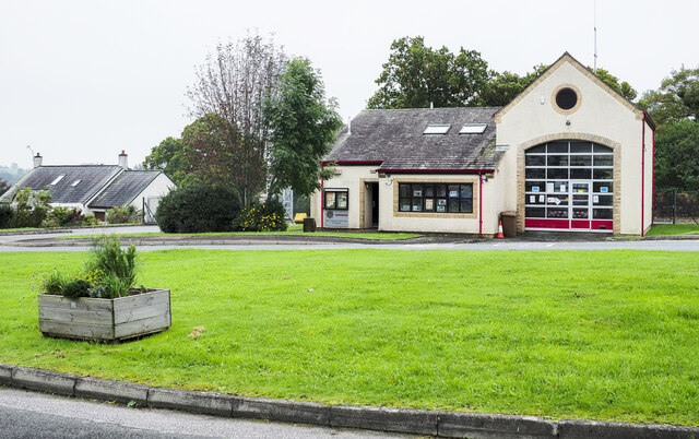
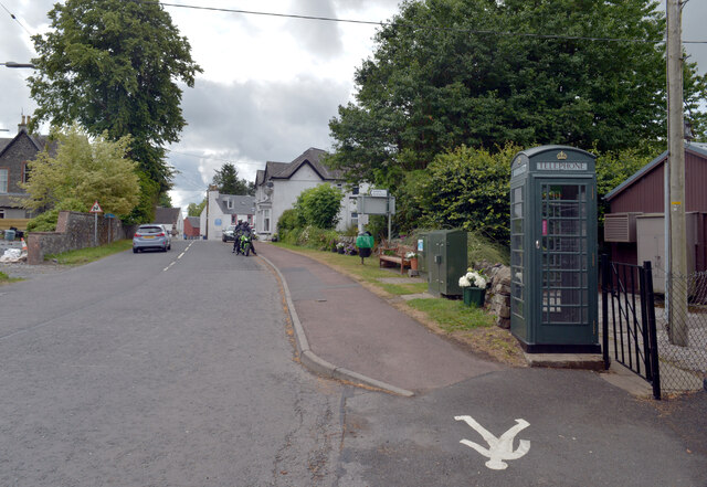
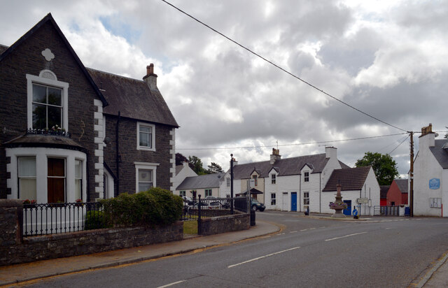
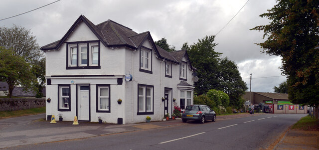
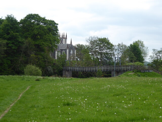
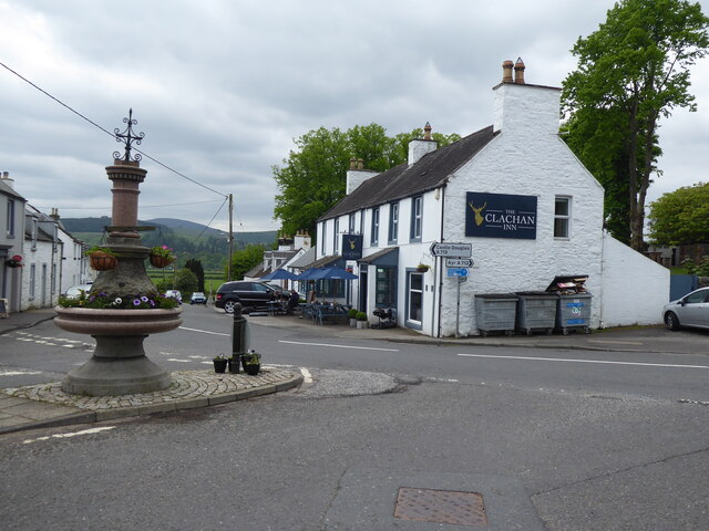
White Hill Images

Images are sourced within 2km of 55.089854/-4.1611625 or Grid Reference NX6279. Thanks to Geograph Open Source API. All images are credited.

Fire Station, New Galloway The fire station on the south side of the A712 seen across a lawned area.
Fire Station, New Galloway
The fire station on the south side of the A712 seen across a lawned area.
Farmland at New Galloway Viewed from the Old Edinburgh Road.
Farmland at New Galloway
Viewed from the Old Edinburgh Road.
Kells Parish Church, New Galloway Viewed from the Old Edinburgh Road.
Kells Parish Church, New Galloway
Viewed from the Old Edinburgh Road.
Viewfield Farm, New Galloway Viewed from the Old Edinburgh Road.
Viewfield Farm, New Galloway
Viewed from the Old Edinburgh Road.
New Galloway Viewed from the Old Edinburgh Road. With a view to a Windfarm.
New Galloway
Viewed from the Old Edinburgh Road. With a view to a Windfarm.
Kells Parish Church in Sunlight Viewed from the Old Edinburgh Road.
Kells Parish Church in Sunlight
Viewed from the Old Edinburgh Road.
Dalarran Standing Stone The standing stone of Dalarran.
Dalarran Standing Stone
The standing stone of Dalarran.
Farmland near Garplefoot
Ayr Road (A713), St. John's Town of Dalry
Ayr Road (A713), St. John's Town of Dalry Looking towards its junction with Main Street.
Ayr Road (A713), St. John's Town of Dalry
Looking towards its junction with Main Street.
Police station, Ayr Road (A713), St. John's Town of Dalry
Water of Ken, St. John's Town of Dalry The view from the service station on Ayr Road.
Water of Ken, St. John's Town of Dalry
The view from the service station on Ayr Road.
Mulloch Hill Trig Point Flush Bracket S8315
Fundamental Benchmark Dalry Also known as an FBM or mini trig point however this is not a trig point and is nothing to do with triangulation

<span class="nowrap"><a title="https://trigpointing.uk/trig/7193" rel="nofollow ugc noopener" href="https://trigpointing.uk/trig/7193">Link</a><img style="margin-left:2px;" alt="External link" title="External link - shift click to open in new window" src="https://s1.geograph.org.uk/img/external.png" width="10" height="10"/></span>

<span class="nowrap"><a title="https://trigpointing.uk/wiki/FBM" rel="nofollow ugc noopener" href="https://trigpointing.uk/wiki/FBM">Link</a><img style="margin-left:2px;" alt="External link" title="External link - shift click to open in new window" src="https://s1.geograph.org.uk/img/external.png" width="10" height="10"/></span>
An underground chamber topped with a short granite pillar. The pillar contains an easily accessible height reference point, but the accurately measured level is underground where it is less likely to be disturbed. There are approximately 207 FBMs across the country and whilst a few have fallen into disuse, most have been incorporated into the National GPS Network as Passive Stations.
For a detailed breakdown of the different types of FBM, see Ian Richardson's FBM styles - A Pictorial Guide.
Fundamental Benchmark Dalry
Also known as an FBM or mini trig point however this is not a trig point and is nothing to do with triangulation LinkExternal link LinkExternal link An underground chamber topped with a short granite pillar. The pillar contains an easily accessible height reference point, but the accurately measured level is underground where it is less likely to be disturbed. There are approximately 207 FBMs across the country and whilst a few have fallen into disuse, most have been incorporated into the National GPS Network as Passive Stations. For a detailed breakdown of the different types of FBM, see Ian Richardson's FBM styles - A Pictorial Guide.
Main Street, Dalry Most through traffic misses Main Street which lies off the A713.
Main Street, Dalry
Most through traffic misses Main Street which lies off the A713.
Main Street, Dalry
Main Street, Dalry
The Southern Upland Way near St John's Town of Dalry
The Southern Upland Way in St John's Town of Dalry
Show me another place!

White Hill is located at Grid Ref: NX6279 (Lat: 55.089854, Lng: -4.1611625)

Unitary Authority: Dumfries and Galloway

Police Authority: Dumfries and Galloway

What 3 Words

///eliminate.royal.botanists. Near Castle Douglas, Dumfries & Galloway

Related Wikis

Kells, Dumfries and Galloway

Kells parish, in the Stewartry of Kirkcudbright in Scotland, is located 14 miles (NWbN) from Castle-Douglas, and 19 miles (NbW) from Kirkcudbright. It...

St John's Town of Dalry

St John's Town of Dalry (Scottish Gaelic: Clachan Eòin), usually referred to simply as Dalry (/dæl'raɪ/ / 'dal-RYE'), is a village in Dumfries and Galloway...

Ken Bridge

The Ken Bridge is a road bridge about 0.8 kilometres (0.5 mi) north east of New Galloway in Dumfries and Galloway, Scotland, which carries the A712 road...

New Galloway Town Hall

The New Galloway Town Hall is a municipal building in Dumfries and Galloway, Scotland, situated on the town's high street. A tolbooth has existed on the...

Nearby Amenities

Located within 500m of 55.089854,-4.1611625
Power: pole
Lat/Long: 55.0913852/-4.1684329
Power: pole
Lat/Long: 55.0910112/-4.1674487
Power: pole
Lat/Long: 55.0906491/-4.1664453
Power: pole
Lat/Long: 55.0902841/-4.1654218
Power: pole
Lat/Long: 55.0900994/-4.1648621
Power: pole
Lat/Long: 55.0899523/-4.1644436
Power: pole
Lat/Long: 55.0895425/-4.1632865
Power: pole
Lat/Long: 55.0891328/-4.1621243
Power: pole
Lat/Long: 55.0885144/-4.1603356
Power: pole
Lat/Long: 55.0880215/-4.1590232
Power: pole
Lat/Long: 55.0875361/-4.1576917
Power: pole
Lat/Long: 55.0871562/-4.1566063
Power: pole
Lat/Long: 55.0860862/-4.1588024
Power: pole
Lat/Long: 55.0863937/-4.1600975
Power: pole
Lat/Long: 55.086732/-4.1615127
Power: pole
Lat/Long: 55.08692/-4.1622802
Power: pole
Lat/Long: 55.0871205/-4.1631458
Power: pole
Lat/Long: 55.0872963/-4.1645255
Power: pole
Lat/Long: 55.0874595/-4.1659313
Power: pole
Lat/Long: 55.0878102/-4.1669728
Power: pole
Lat/Long: 55.0882266/-4.1682498
The data included in this document is from www.openstreetmap.org. The data is made available under ODbL.

Have you been to White Hill?

Leave your review of White Hill below (or comments, questions and feedback).