Airie Hill

Hill, Mountain in Kirkcudbrightshire

Scotland

Airie Hill

Airie Hill and Grobdale View of Airie Hill from the south, a glimpse of pre-forestry Galloway.
Airie Hill and Grobdale Credit: Richard Webb

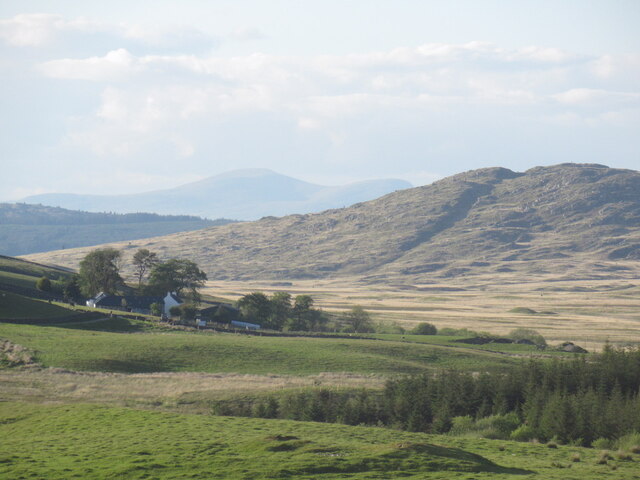
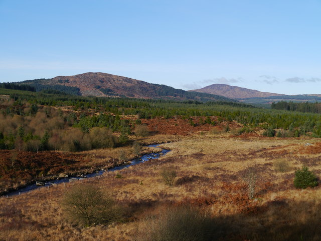
Airie Hill is a prominent landform located in the region of Kirkcudbrightshire, Scotland. Situated in the southern part of the country, this hill, also known as Airie Knowe, stands at an elevation of approximately 258 meters (846 feet) above sea level. It is a part of the wider Galloway Hills, which are renowned for their stunning natural beauty and rich biodiversity.

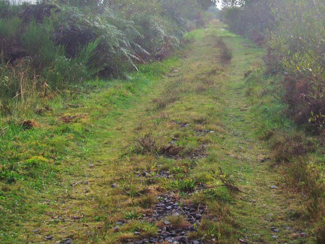
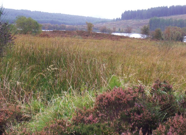
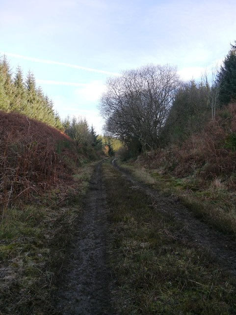
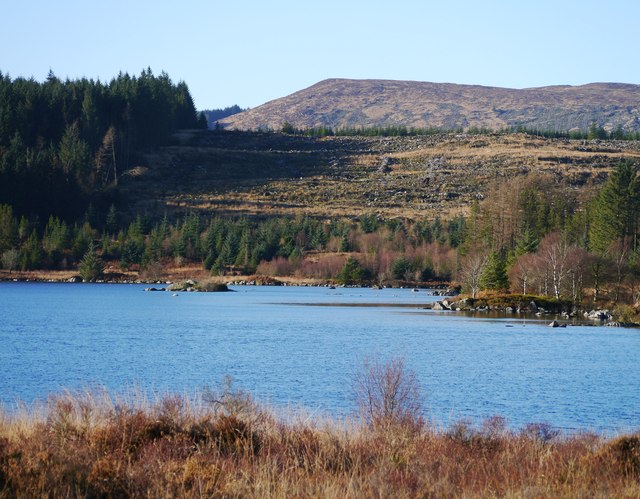
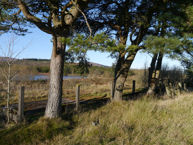
Covered in lush green vegetation, Airie Hill offers panoramic views of the surrounding landscape, including the nearby towns of Castle Douglas and Kirkcudbright. The hill is predominantly composed of granite, which gives it a rugged and distinctive appearance. Due to its relatively moderate height, Airie Hill is a popular destination for hikers and walkers of all abilities, providing a challenging yet manageable climb.

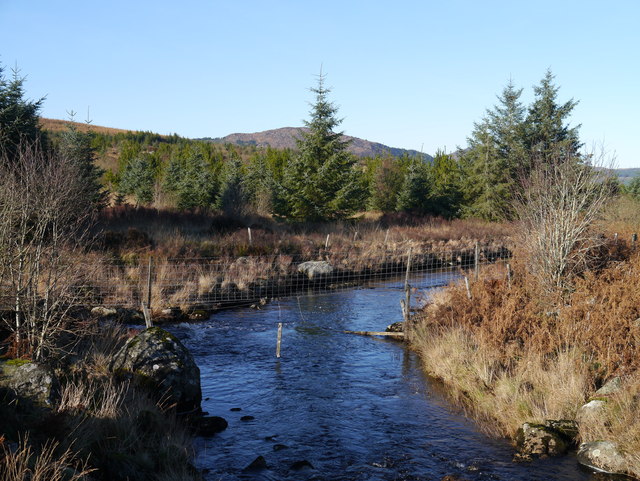
The area surrounding Airie Hill is characterized by a diverse range of flora and fauna. Visitors can expect to encounter a variety of plant species, including heather, gorse, and purple moorgrass, as well as various types of mosses and lichens. The hill also serves as a habitat for an array of wildlife, such as red deer, roe deer, and a variety of bird species, including buzzards and kestrels.

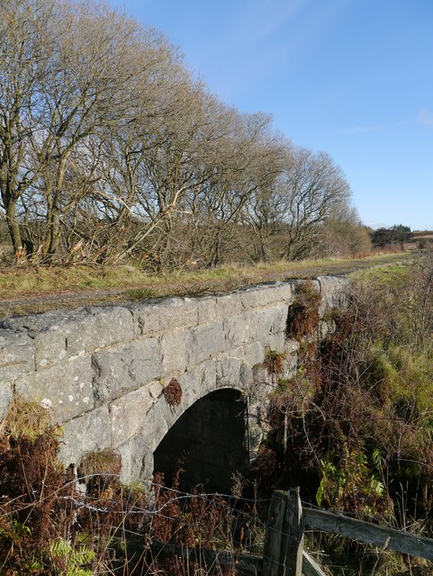
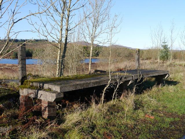
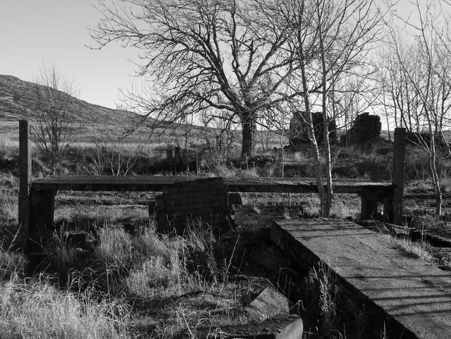
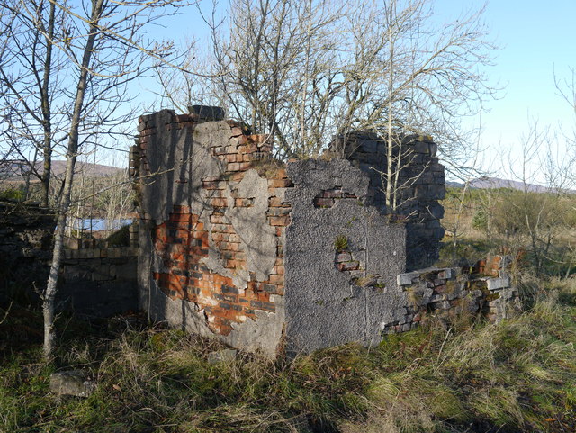
In addition to its natural beauty, Airie Hill also holds historical significance. It is believed to have been used as a site for ancient burial grounds, with several stone cairns and burial mounds discovered in the vicinity. These archaeological remains provide insights into the area's rich cultural heritage and offer a glimpse into the lives of the people who once inhabited this land.

Overall, Airie Hill in Kirkcudbrightshire stands as a captivating natural landmark that combines scenic beauty, recreational opportunities, and historical intrigue, making it a must-visit destination for nature enthusiasts and history buffs alike.

If you have any feedback on the listing, please let us know in the comments section below.
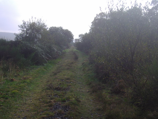
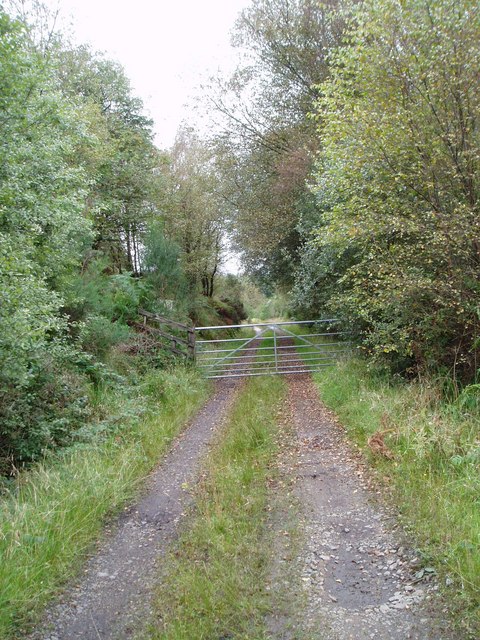
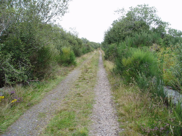
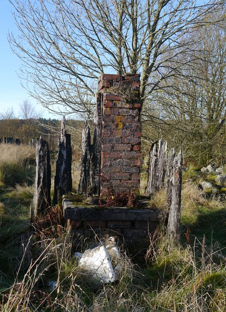
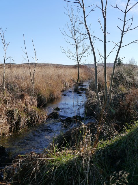
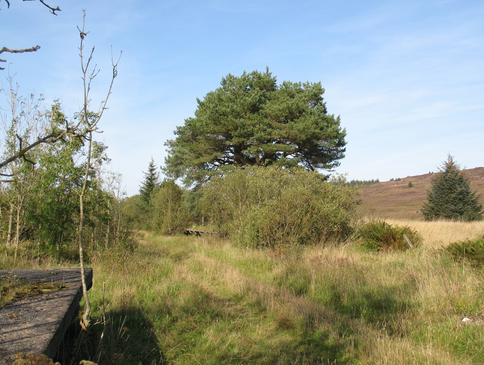
Airie Hill Images

Images are sourced within 2km of 54.992729/-4.1565156 or Grid Reference NX6268. Thanks to Geograph Open Source API. All images are credited.

Airie Hill and Grobdale View of Airie Hill from the south, a glimpse of pre-forestry Galloway.
Airie Hill and Grobdale
View of Airie Hill from the south, a glimpse of pre-forestry Galloway.
Dismantled railway between Stroan Loch and Loch Skerrow Although closed to public traffic, those staying at Airie farmhouse are free to drive this track. A 4x4 is advised! It is open to the public and it is possible to walk all the way along the old railway track to Gatehouse of Fleet.  Remote and peaceful.
Dismantled railway between Stroan Loch and Loch Skerrow
Although closed to public traffic, those staying at Airie farmhouse are free to drive this track. A 4x4 is advised! It is open to the public and it is possible to walk all the way along the old railway track to Gatehouse of Fleet. Remote and peaceful.
Access point into Scottish Woodlands near Airie This track was once the railway from Dumfries to Stranraer.
Access point into Scottish Woodlands near Airie
This track was once the railway from Dumfries to Stranraer.
Old railway track near Airie Image taken looking east from a small bridge spanning an unnamed burn.
Old railway track near Airie
Image taken looking east from a small bridge spanning an unnamed burn.
Dismantled railway near Airie farm. This part of the old railway track is running across moorland.  Shrubs and small trees line its path.
Dismantled railway near Airie farm.
This part of the old railway track is running across moorland. Shrubs and small trees line its path.
Scrubland between the dismantled railway and the Black Water's of Dee This wet land is a mixture of reeds, heathers, mosses and grass.
Scrubland between the dismantled railway and the Black Water's of Dee
This wet land is a mixture of reeds, heathers, mosses and grass.
A Bridge Near Airie One of many small bridges on this section of the former Portpatrick Railway.
A Bridge Near Airie
One of many small bridges on this section of the former Portpatrick Railway.
The Former Portpatrick Railway In The Forestry This section passes through plantations on the northern slopes of Airie Hill.
The Former Portpatrick Railway In The Forestry
This section passes through plantations on the northern slopes of Airie Hill.
Airie Burn Approaching Loch Skerrow Halt, the vista over the surrounding countryside includes the 'valley' of the Airie Burn.
Airie Burn
Approaching Loch Skerrow Halt, the vista over the surrounding countryside includes the 'valley' of the Airie Burn.
Grobdale Lane/Airie Burn Confluence Viewed from a recently-replaced bridge on the former route of the Portpatrick Railway, the Grobdale Lane enters from the bottom of shot to meet the Airie Burn flowing from right to left of shot.
Grobdale Lane/Airie Burn Confluence
Viewed from a recently-replaced bridge on the former route of the Portpatrick Railway, the Grobdale Lane enters from the bottom of shot to meet the Airie Burn flowing from right to left of shot.
Loch Skerrow One of the countless picturesque lochs in Galloway.  This photograph was taken to the east of the former Loch Skerrow Halt.
Loch Skerrow
One of the countless picturesque lochs in Galloway. This photograph was taken to the east of the former Loch Skerrow Halt.
Remains Of Loch Skerrow Halt's Westbound Platform The westbound platform, of concrete construction, supported by brick pillars.  The pines in view can clearly be seen in period photographs of the station.
Remains Of Loch Skerrow Halt's Westbound Platform
The westbound platform, of concrete construction, supported by brick pillars. The pines in view can clearly be seen in period photographs of the station.
Behind The Platform An photograph taken behind the remains of the westbound platform at Loch Skerrow Halt - note Loch Skerrow in the distance.
Behind The Platform
An photograph taken behind the remains of the westbound platform at Loch Skerrow Halt - note Loch Skerrow in the distance.
Remains Of Loch Skerrow Halt's Eastbound Platform Of similar brick and concrete construction as the nearby westbound platform, but shorter.  Loch Skerrow can be seen in the distance.
Remains Of Loch Skerrow Halt's Eastbound Platform
Of similar brick and concrete construction as the nearby westbound platform, but shorter. Loch Skerrow can be seen in the distance.
Behind The Platform Too Another 'behind the platform' shot at the remains of Loch Skerrow Halt - this time, the eastbound platform.  Remains of the water tank which once stood here can be noted in the foreground.  In the background, the remains of the railway cottages can be seen.
Behind The Platform Too
Another 'behind the platform' shot at the remains of Loch Skerrow Halt - this time, the eastbound platform. Remains of the water tank which once stood here can be noted in the foreground. In the background, the remains of the railway cottages can be seen.
Railway Cottage Remains, Loch Skerrow Halt This particular section of remains has a fireplace still evident.
Railway Cottage Remains, Loch Skerrow Halt
This particular section of remains has a fireplace still evident.
Building Remains, Loch Skerrow Halt The remains of a large, Belfast style sink can be noted in the foreground.  In the structure behind, there is a round metal structure recessed into concrete, and behind it a chimney-like brick structure.  The remains of the railway cottages are off to the right, out of shot.
Building Remains, Loch Skerrow Halt
The remains of a large, Belfast style sink can be noted in the foreground. In the structure behind, there is a round metal structure recessed into concrete, and behind it a chimney-like brick structure. The remains of the railway cottages are off to the right, out of shot.
Water Supply From The Grobdale Lane This is a canalised section of water, from the Grobdale Burn to the north, which was used to supply the station and thus trains with water.  According to a source I've read, this extra effort was apparently due to the presumption that it was purer and less likely to cause corrosion (than water direct from Loch Skerrow).
Water Supply From The Grobdale Lane
This is a canalised section of water, from the Grobdale Burn to the north, which was used to supply the station and thus trains with water. According to a source I've read, this extra effort was apparently due to the presumption that it was purer and less likely to cause corrosion (than water direct from Loch Skerrow).
Show me another place!

Airie Hill is located at Grid Ref: NX6268 (Lat: 54.992729, Lng: -4.1565156)

Unitary Authority: Dumfries and Galloway

Police Authority: Dumfries and Galloway

What 3 Words

///campus.tend.intervene. Near Castle Douglas, Dumfries & Galloway

Nearby Locations

Airie Hill

Related Wikis

Skerrow

Skerrow was a burgh in Dumfries and Galloway, Scotland. Loch Skerrow Halt railway station, on the Portpatrick and Wigtownshire Joint Railway, served Skerrow...

Loch Skerrow Halt railway station

Loch Skerrow Halt railway station served the burgh of Skerrow, Dumfries and Galloway, Scotland on the Portpatrick and Wigtownshire Joint Railway. ��2...

New Galloway railway station

New Galloway railway station served the town of New Galloway in Dumfries and Galloway, Scotland, from 1861 to 1965 on the Portpatrick and Wigtownshire...

Airds of Kells

Airds of Kells is a farm and small estate in the historical county of Kirkcudbrightshire in the parish of Kells, Dumfries and Galloway, Scotland. The...

Galloway

Galloway (Scottish Gaelic: Gall-Ghàidhealaibh [ˈkal̪ˠaɣəl̪ˠu]; Scots: Gallowa; Latin: Gallovidia) is a region in southwestern Scotland comprising the historic...

Loch Ken

Loch Ken is a 9 miles (14 km) long freshwater loch in the historic county of Kirkcudbrightshire in Dumfries and Galloway, Scotland. It lies in the Glenkens...

Parton railway station (Portpatrick and Wigtownshire Joint Railway)

Parton railway station served the hamlet of Parton, Dumfries and Galloway, Scotland, from 1861 to 1965 on the Portpatrick and Wigtownshire Joint Railway...

Parton, Dumfries and Galloway

Parton is a hamlet situated on the banks of the River Dee in the historical county of Kirkcudbrightshire, Dumfries and Galloway, Scotland. == Notable... ==

Nearby Amenities

Located within 500m of 54.992729,-4.1565156
Airie Hill
Ele: 288
Ele Ft: 947
Natural: peak
Source: Popular Edition (Scotland)
Lat/Long: 54.9931497/-4.1506627
The data included in this document is from www.openstreetmap.org. The data is made available under ODbL.

Have you been to Airie Hill?

Leave your review of Airie Hill below (or comments, questions and feedback).