Flanders Hill
Hill, Mountain in Perthshire
Scotland
Flanders Hill
The requested URL returned error: 429 Too Many Requests
If you have any feedback on the listing, please let us know in the comments section below.
Flanders Hill Images
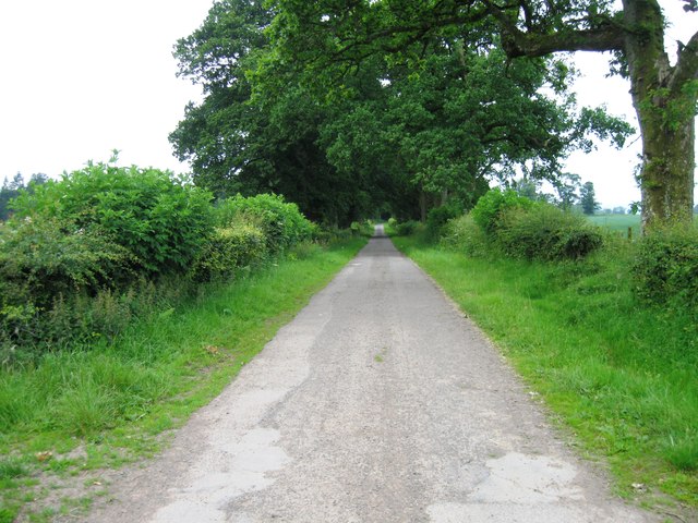
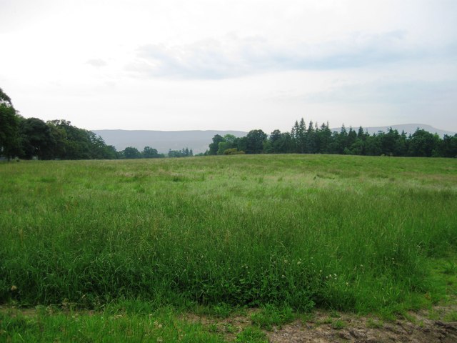
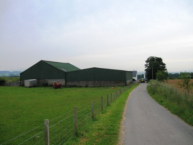
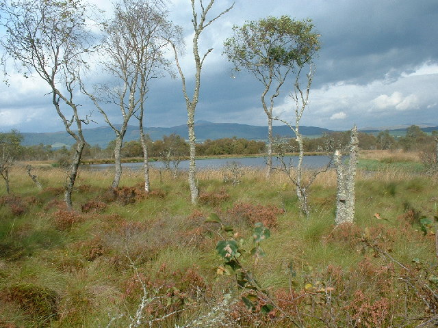
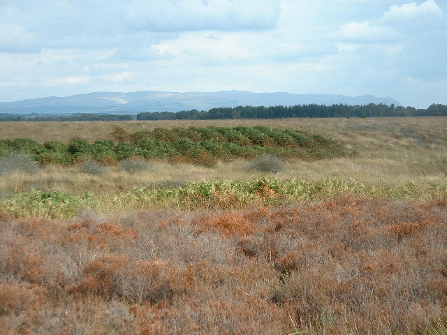
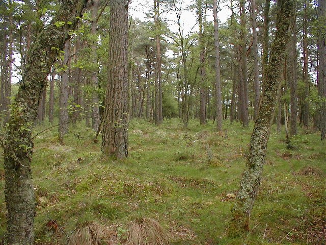
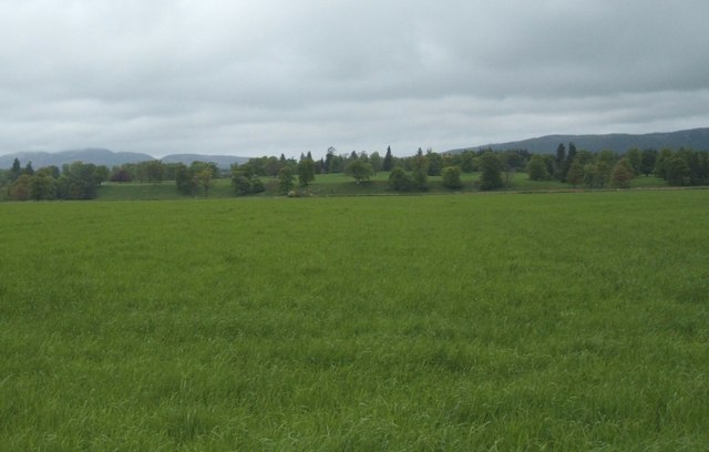
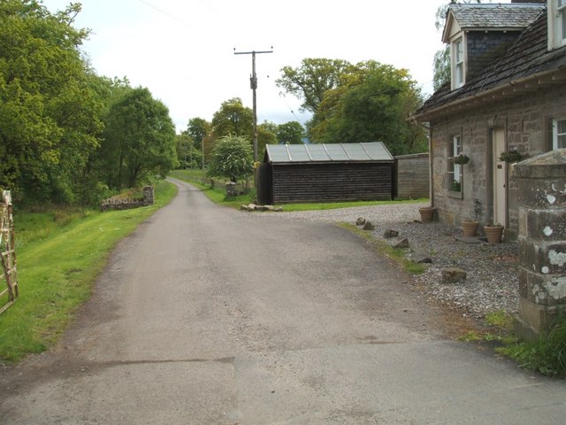
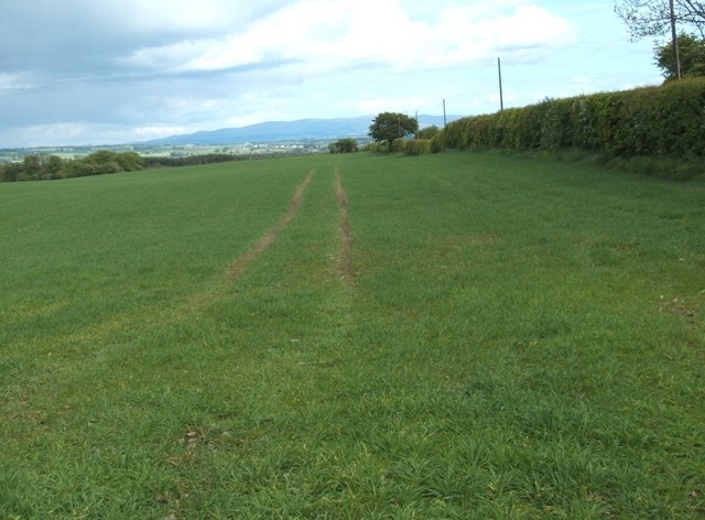
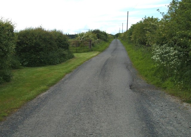
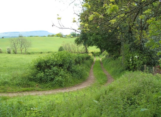
Images are sourced within 2km of 56.164213/-4.226147 or Grid Reference NS6199. Thanks to Geograph Open Source API. All images are credited.
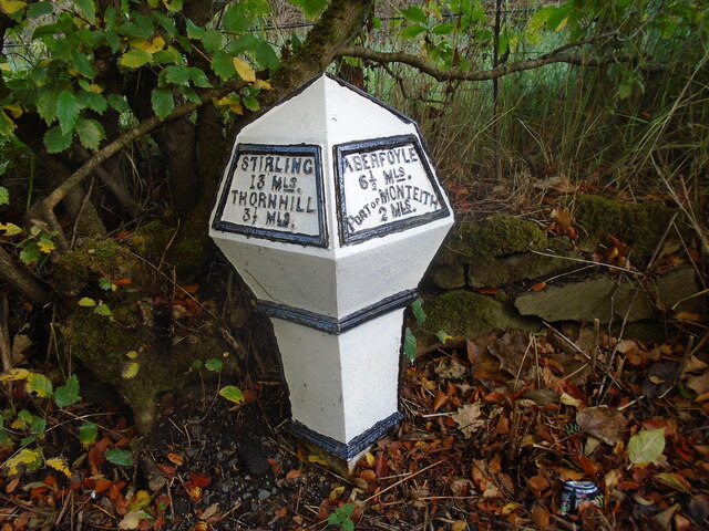
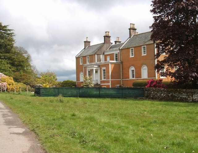
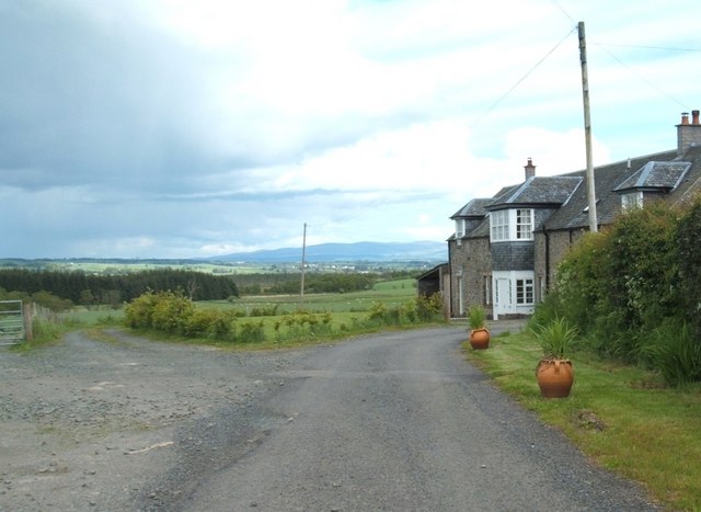
![Near Ballangrew On north side of road. Middle of three entrances [all together] into fields.
Just 50M from north entrance lodge at Cardross Estate.](https://s0.geograph.org.uk/photos/43/64/436492_8c128a6a.jpg)
Flanders Hill is located at Grid Ref: NS6199 (Lat: 56.164213, Lng: -4.226147)
Unitary Authority: Stirling
Police Authority: Forth Valley
What 3 Words
///grumbles.switched.irrigated. Near Kippen, Stirling
Nearby Locations
Related Wikis

Flanders Moss
Flanders Moss (Scottish Gaelic: A’ Mhòine Fhlànrasach) is an area of raised bog lying in the Carse of Forth in west Stirlingshire, Scotland. The villages...

Ruskie
Ruskie is a hamlet in Stirling, Scotland. It is located 4.5 kilometres (2+3⁄4 mi) from Thornhill. It lies within the FK postcode area. == About the... ==
Port of Menteith railway station
Port of Menteith railway station served the village of Port of Menteith, Stirling, Scotland, from 1856 by 1934 on the Forth and Clyde Junction Railway...
Boquhapple
Boquhapple is an area in Stirling council area, Scotland near Thornhill. == References ==
Have you been to Flanders Hill?
Leave your review of Flanders Hill below (or comments, questions and feedback).