Steeperton Tor
Hill, Mountain in Devon West Devon
England
Steeperton Tor

The requested URL returned error: 429 Too Many Requests
If you have any feedback on the listing, please let us know in the comments section below.
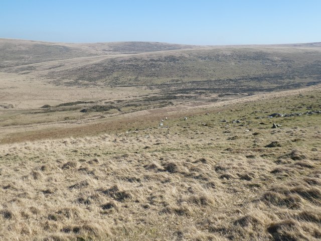
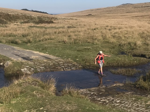
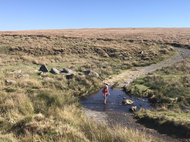
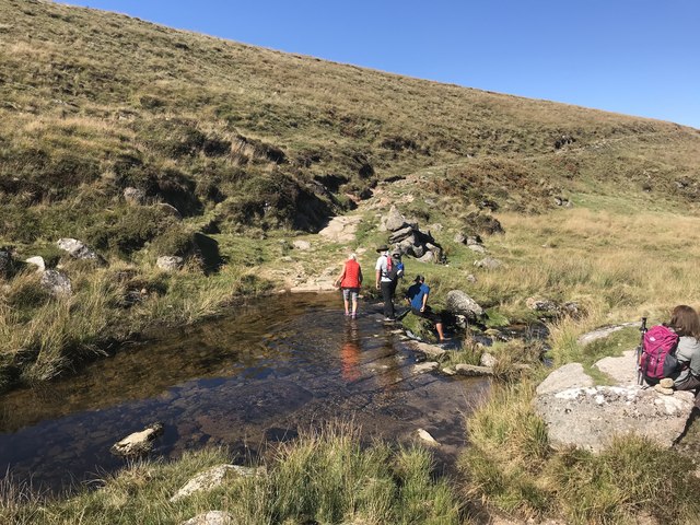
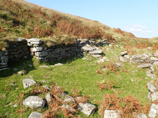
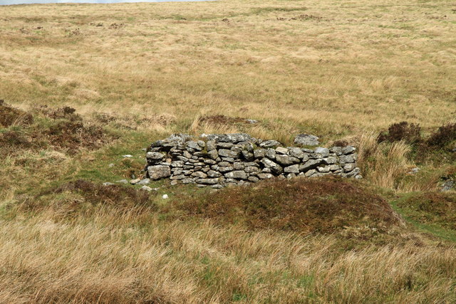
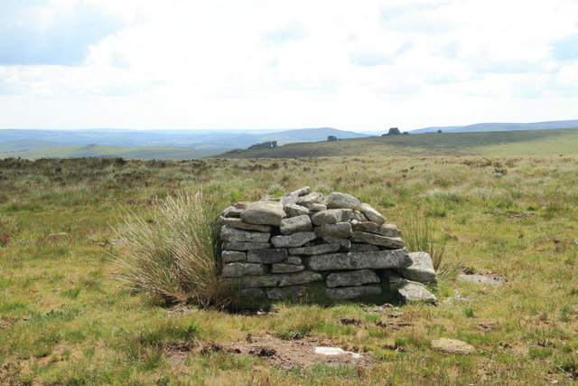
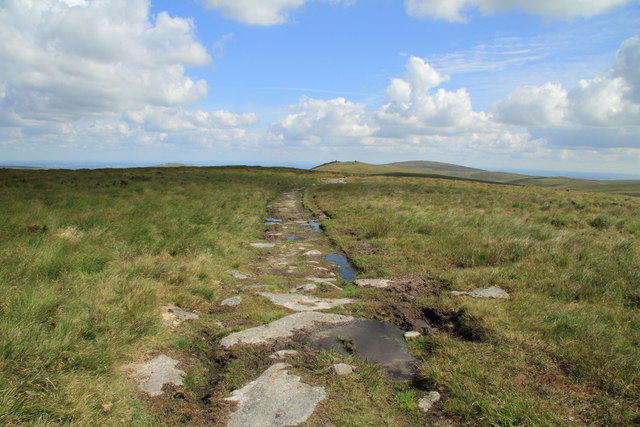
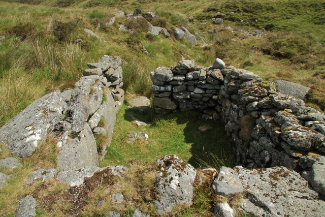
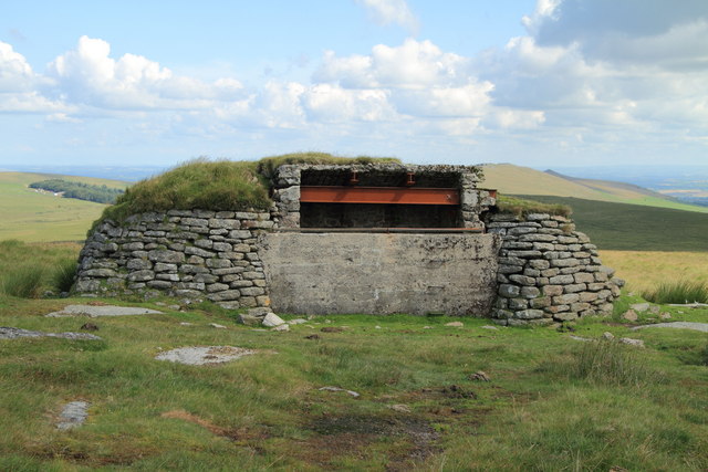
Steeperton Tor Images
Images are sourced within 2km of 50.681647/-3.9568451 or Grid Reference SX6188. Thanks to Geograph Open Source API. All images are credited.


Steeperton Tor is located at Grid Ref: SX6188 (Lat: 50.681647, Lng: -3.9568451)
Administrative County: Devon
District: West Devon
Police Authority: Devon and Cornwall
What 3 Words
///sourcing.mingles.pirates. Near Okehampton, Devon
Nearby Locations
Related Wikis

Hangingstone Hill
Hangingstone Hill is a hill in North Dartmoor in the southwest English county of Devon. At 603 metres high, it is the joint third highest peak in Devon...

Cranmere Pool
Cranmere Pool is a small depression within a peat bog in the northern half of Dartmoor, Devon, England, at grid reference SX604858. It lies 560 metres...
Cosdon Hill
Cosdon Hill, also called Cosdon Beacon, or Cawsand Beacon, is one of the highest hills on Dartmoor, in Devon, England. It has numerous traces of prehistoric...
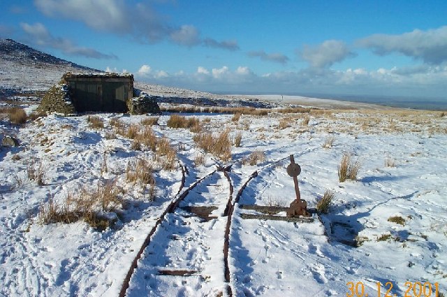
Rowtor Target Railway
The Rowtor Target Railway was a military narrow gauge target railway south of Okehampton in Dartmoor, England with a gauge of 24 inches (610 mm). ��2...
Nearby Amenities
Located within 500m of 50.681647,-3.9568451Have you been to Steeperton Tor?
Leave your review of Steeperton Tor below (or comments, questions and feedback).