Cairnsaigh Hill
Hill, Mountain in Ayrshire
Scotland
Cairnsaigh Hill
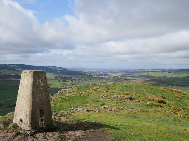
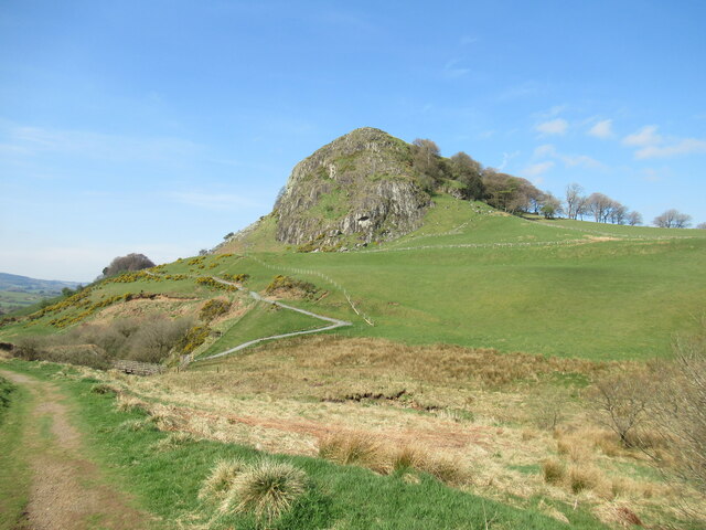
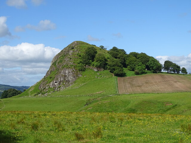
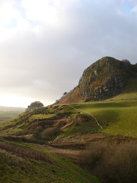
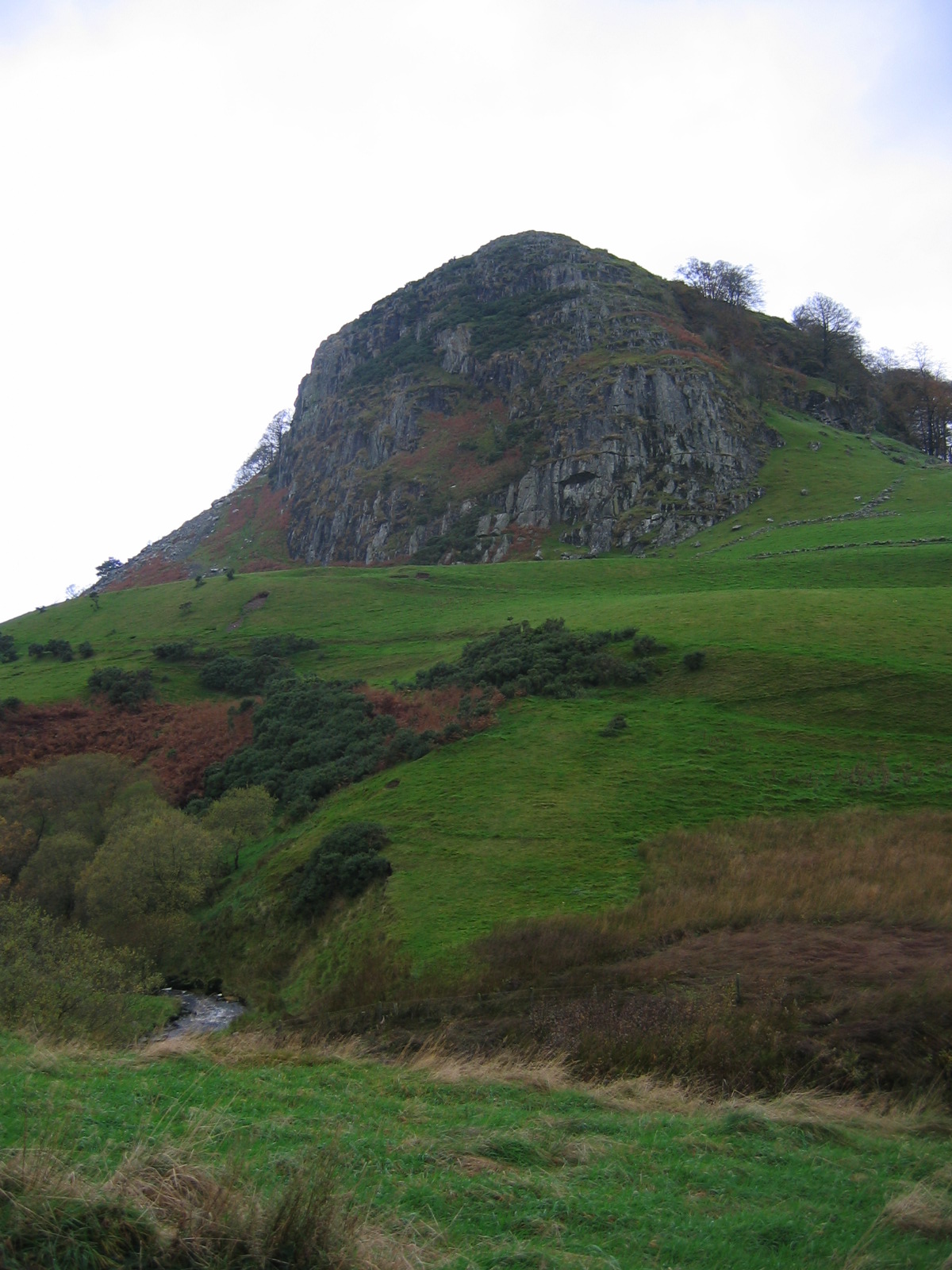
Cairnsaigh Hill is a prominent hill located in the region of Ayrshire, Scotland. It is part of the Carrick Hills, a range of hills situated between the towns of Ayr and Maybole. With an elevation of approximately 358 meters (1,175 feet), it offers stunning panoramic views of the surrounding countryside and coastline.
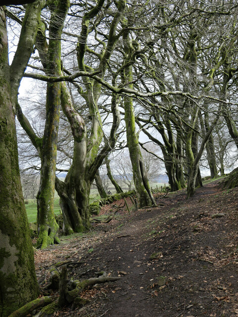
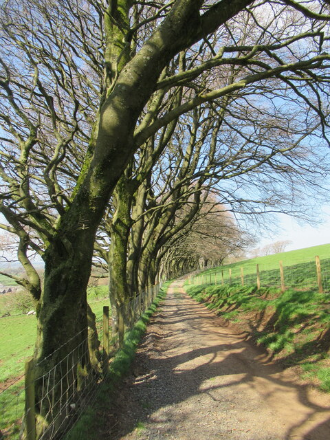
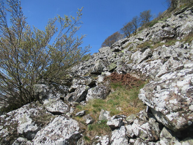
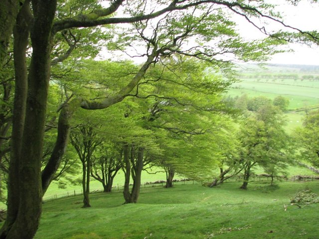
The hill is characterized by its distinctive conical shape and is covered in grass, heather, and some scattered trees. It is a popular destination for hikers, walkers, and nature enthusiasts due to its accessibility and the breathtaking vistas it provides. There are several well-marked footpaths leading to the summit, making it an enjoyable and relatively easy climb for visitors of all levels of fitness.
At the top of Cairnsaigh Hill, visitors can witness the picturesque landscapes of Ayrshire, including views of the Firth of Clyde and the Isle of Arran. On clear days, it is even possible to see as far as the distant peaks of the Scottish Highlands.
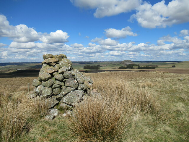
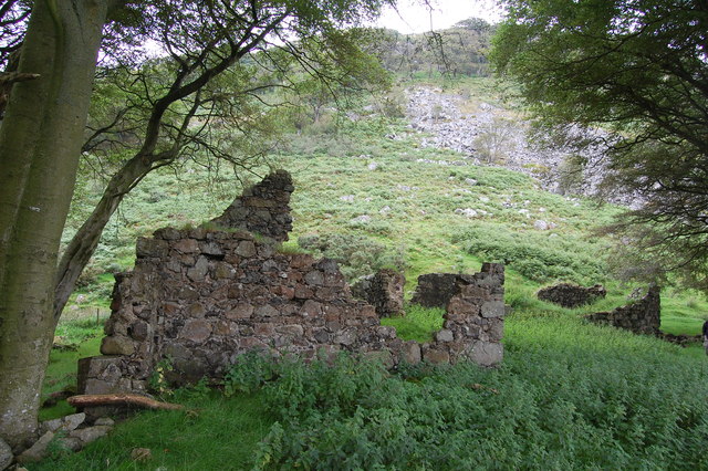
The hill also holds historical significance as it features an ancient burial cairn, which is believed to date back to the Bronze Age. This archaeological site adds an intriguing element to the natural beauty of Cairnsaigh Hill.
Overall, Cairnsaigh Hill provides a wonderful opportunity for outdoor exploration and appreciation of the Scottish countryside. Its combination of stunning views, gentle hiking trails, and historical interest make it a must-visit destination for both locals and tourists alike.
If you have any feedback on the listing, please let us know in the comments section below.
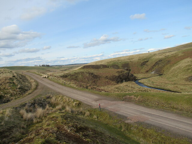
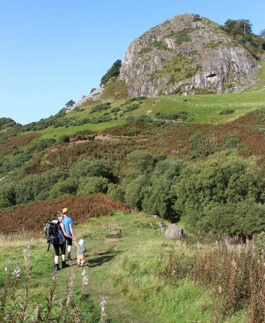
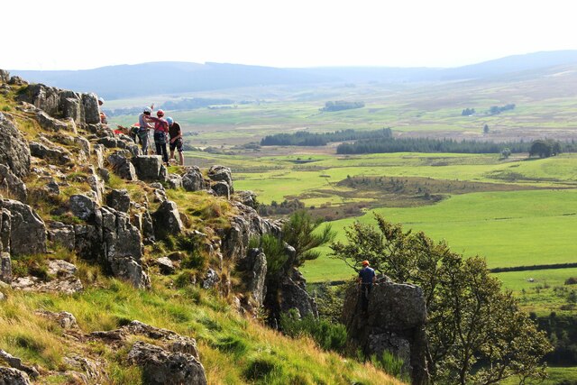
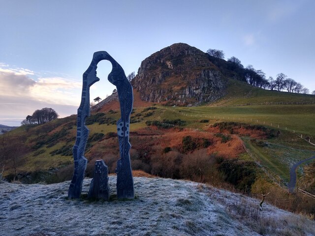
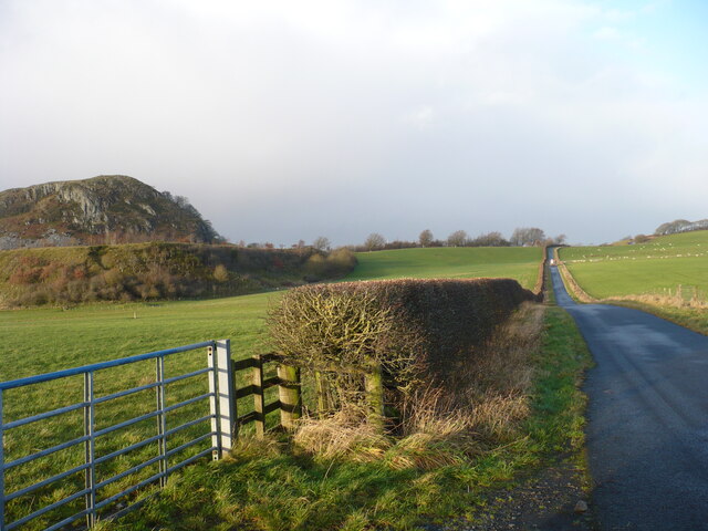
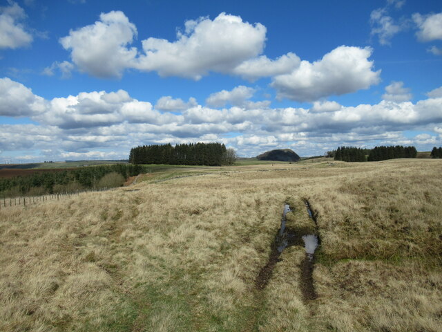
Cairnsaigh Hill Images
Images are sourced within 2km of 55.599302/-4.2078429 or Grid Reference NS6036. Thanks to Geograph Open Source API. All images are credited.
Cairnsaigh Hill is located at Grid Ref: NS6036 (Lat: 55.599302, Lng: -4.2078429)
Unitary Authority: East Ayrshire
Police Authority: Ayrshire
What 3 Words
///seats.centuries.uttering. Near Darvel, East Ayrshire
Nearby Locations
Related Wikis

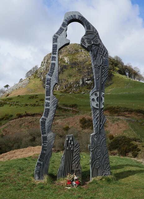
Battle of Loudoun Hill
The Battle of Loudoun Hill was fought on 10 May 1307, between a Scots force led by King Robert the Bruce and the English commanded by Aymer de Valence...

Loudounhill railway station
Loudounhill (NS 60268 37191) was a railway station on the Darvel and Strathaven Railway serving a rural area that included the landmark of Loudoun Hill...
Loch Gate
Loch Gate (NS 62389 37170), previously known as Loch Gait, was a freshwater loch, partly in the East Ayrshire Council Area and partly in South Lanarkshire...
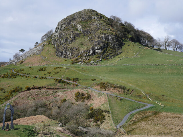
Loudoun Hill
Loudoun Hill (Scottish Gaelic: Beinn Lùghdain; also commonly Loudounhill) is a volcanic plug in East Ayrshire, Scotland. It is located near the head of...
Nearby Amenities
Located within 500m of 55.599302,-4.2078429Have you been to Cairnsaigh Hill?
Leave your review of Cairnsaigh Hill below (or comments, questions and feedback).