Avisyard Hill

Hill, Mountain in Ayrshire

Scotland

Avisyard Hill

Farmland at Calton
Farmland at Calton Credit: Billy McCrorie

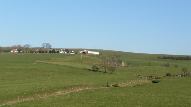
Avisyard Hill is a prominent hill located in Ayrshire, Scotland. Rising to an elevation of approximately 287 meters (942 feet), it is a notable landmark in the region. The hill is situated approximately 3 kilometers (1.9 miles) to the northeast of the town of Maybole.

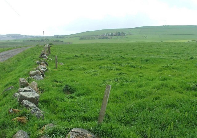
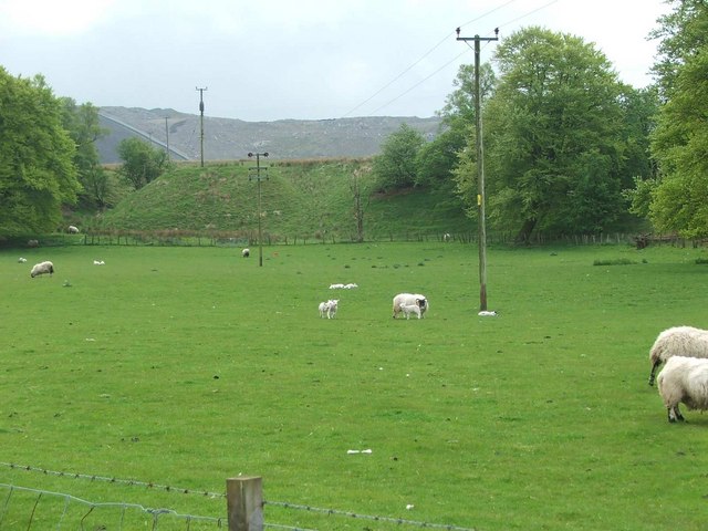
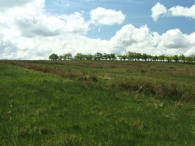
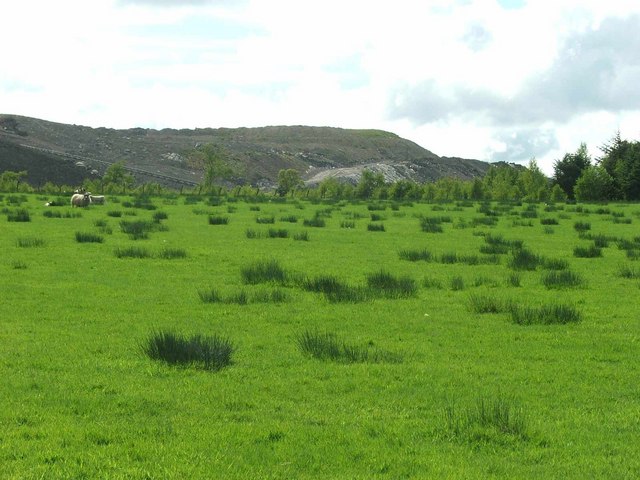
Avisyard Hill is characterized by its distinctive conical shape, with a rounded summit that offers panoramic views of the surrounding countryside. The hill is predominantly covered in grass, with scattered patches of heather and shrubs. Its slopes are gentle and easily accessible, making it a popular spot for walkers and hikers.

The hill is part of the Ayrshire Coastal Path, a long-distance walking route that stretches along the coastline of Ayrshire. Avisyard Hill offers an excellent vantage point to appreciate the stunning coastal scenery, with views extending across the Firth of Clyde to the Isle of Arran and the Ailsa Craig.

The area surrounding Avisyard Hill is rich in history and heritage. There are traces of ancient settlements, including prehistoric cairns and burial mounds, indicating human occupation in the area for thousands of years. The hill itself is believed to have been used as a beacon hill, where fires were lit in ancient times to communicate important messages across the region.

Overall, Avisyard Hill is a picturesque and historically significant landmark in Ayrshire, offering visitors the opportunity to enjoy the natural beauty and cultural heritage of the area.

If you have any feedback on the listing, please let us know in the comments section below.

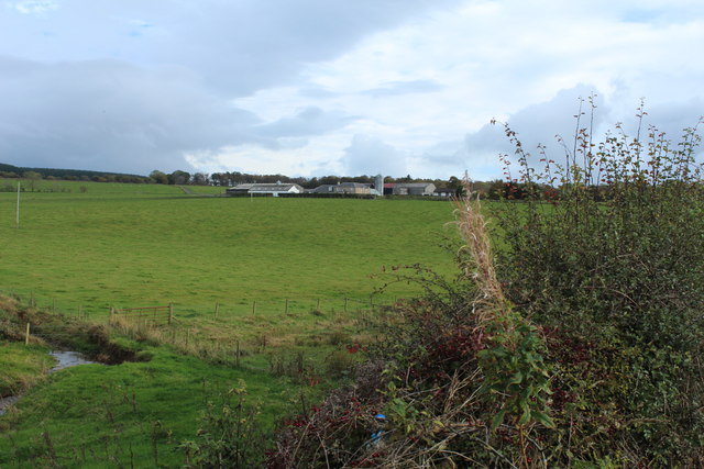
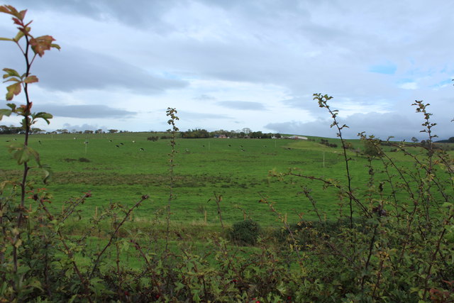
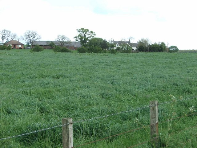
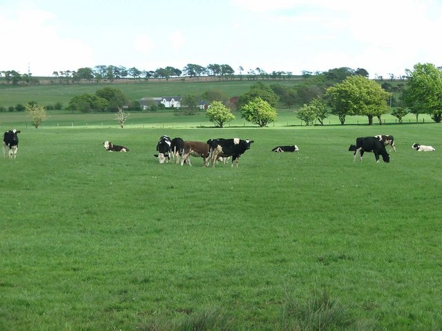
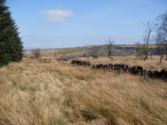
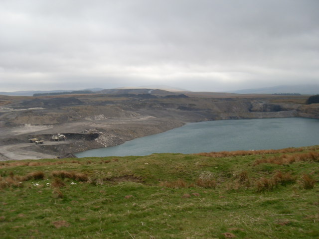
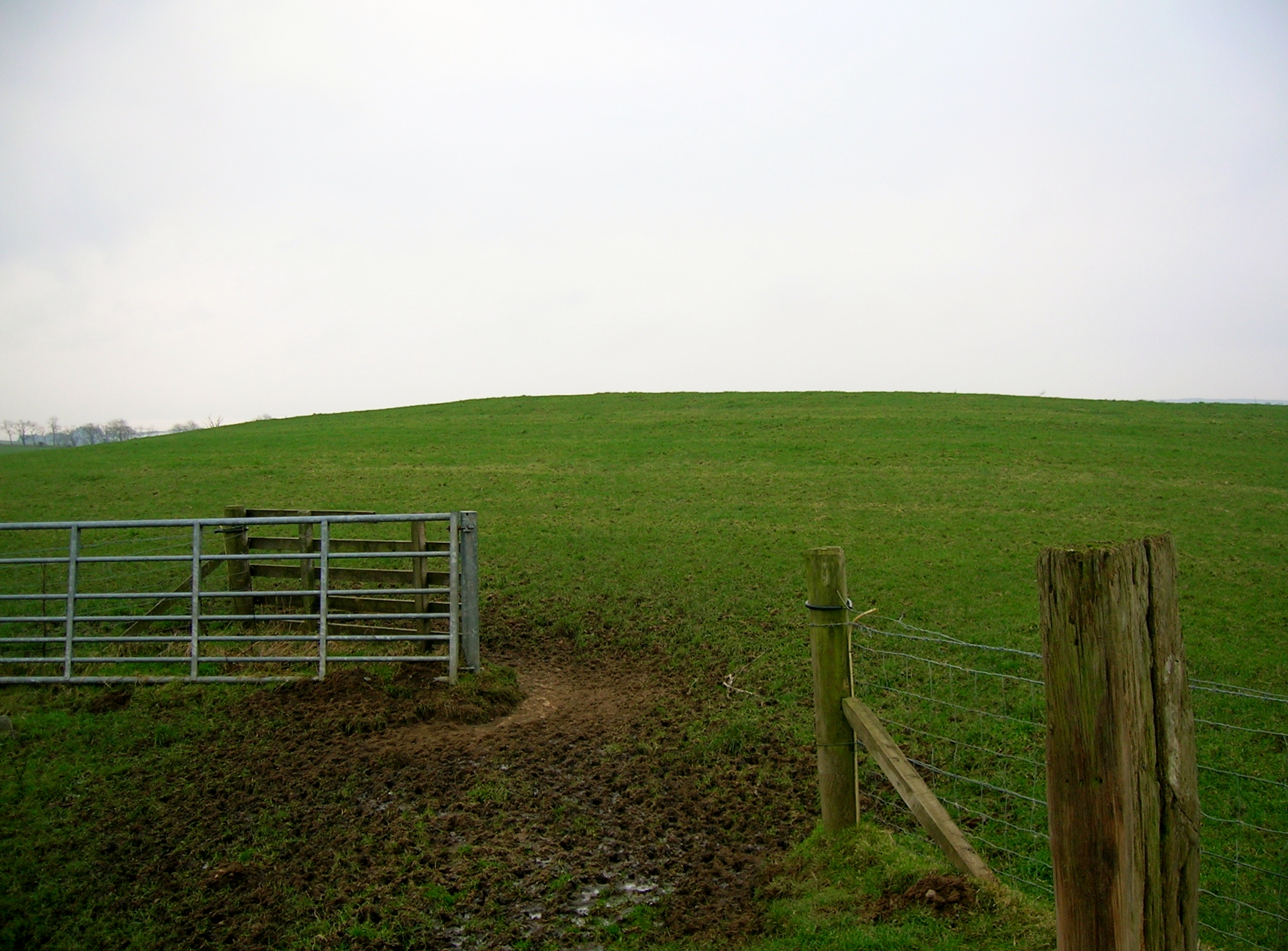
Avisyard Hill Images

Images are sourced within 2km of 55.437318/-4.2001627 or Grid Reference NS6018. Thanks to Geograph Open Source API. All images are credited.

Farmland at Calton
Farmland at Calton
Farmland at Watston
Farmland at Watston
Watson Farm. Looking uphill towards Watson Farm from the driveway.
Watson Farm.
Looking uphill towards Watson Farm from the driveway.
A Pastoral Scene. Cattle grazing in lush pasture.
Borland Mains Farm is in the distance.
A Pastoral Scene.
Cattle grazing in lush pasture. Borland Mains Farm is in the distance.
Pastures of  Watson Farm Viewed from the A76; the farm is on the gentle western slope of Avisyard Hill.
Pastures of Watson Farm
Viewed from the A76; the farm is on the gentle western slope of Avisyard Hill.
Ruined cottage near Watston Farm
Green Pasture The farm in the distance is Avisyard. To the top left of the photo can be seen Open Cast coal workings; a familiar sight in the area.
Green Pasture
The farm in the distance is Avisyard. To the top left of the photo can be seen Open Cast coal workings; a familiar sight in the area.
Sheep grazing at Garleffan Farm Typical agricultural land with a massive opencast coal site in the background. A conveyor is clearly visible for transporting coal to a more accessible point for transport and distribution.
Sheep grazing at Garleffan Farm
Typical agricultural land with a massive opencast coal site in the background. A conveyor is clearly visible for transporting coal to a more accessible point for transport and distribution.
Unimproved grassland To the left of the trees , the mast on top of Avisyard hill can be seen sticking above the horizon.
Unimproved grassland
To the left of the trees , the mast on top of Avisyard hill can be seen sticking above the horizon.
High Garleffan? I think it's safe to assume that High Garleffan has well and truly disappeared.
Yet more opencast workings.
High Garleffan?
I think it's safe to assume that High Garleffan has well and truly disappeared. Yet more opencast workings.
Avisyard Hill, East Ayrshire Trig pillar S5048 was completed 21st September 1949 at a cost of £12.15s.7d. Large communications masts dominate the skyline behind the photographer. From the public road, there is a track all the way up to the comms masts via the farm.
Avisyard Hill, East Ayrshire
Trig pillar S5048 was completed 21st September 1949 at a cost of £12.15s.7d. Large communications masts dominate the skyline behind the photographer. From the public road, there is a track all the way up to the comms masts via the farm.
Forest between Cumnock and New Cumnock Taken from the ruined cottage at Lowesmuir.
Forest between Cumnock and New Cumnock
Taken from the ruined cottage at Lowesmuir.
Coila Hill The transmitter on Avisyard Hill (next square) can be seen in the background.
Coila Hill
The transmitter on Avisyard Hill (next square) can be seen in the background.
Cairnscadden Hill This ruined cottage sits in pastureland between two forests.
Cairnscadden Hill
This ruined cottage sits in pastureland between two forests.
Opencast workings Part of the large opencast coal mine at Garleffan, viewed from the edge of the forest
Opencast workings
Part of the large opencast coal mine at Garleffan, viewed from the edge of the forest
Moorland and opencast The opencast coal mine at Garleffan is on the right (partly in this square). Beyond is the Glenmuir valley.
Moorland and opencast
The opencast coal mine at Garleffan is on the right (partly in this square). Beyond is the Glenmuir valley.
Changed landscape The scenery in this area is somewhat different from what is marked on the map, due to opencast coal mining. High Garleffan is (or was!) in there somewhere
Changed landscape
The scenery in this area is somewhat different from what is marked on the map, due to opencast coal mining. High Garleffan is (or was!) in there somewhere
Opencast workings High Garleffan was here!
Opencast workings
High Garleffan was here!
Show me another place!

Avisyard Hill is located at Grid Ref: NS6018 (Lat: 55.437318, Lng: -4.2001627)

Unitary Authority: East Ayrshire

Police Authority: Ayrshire

What 3 Words

///plugged.vowel.alternate. Near Logan, East Ayrshire

Related Wikis

Lands of Borland, Barony of Cumnock

The Lands of Borland or Boreland (NS 5864 1742) formed a castle and land holdings within the old Barony of Cumnock, East Ayrshire, Parish of Old Cumnock...

Black Loch (New Cumnock)

Black Loch (NS 59057 161720) is a freshwater loch, named from its dark waters, situated in the East Ayrshire Council Area, between Cumnock and New Cumnock...

Logan, East Ayrshire

Logan (Scottish Gaelic: An Lagan) is a village in East Ayrshire, southwest Scotland. It is 1 mile (1.6 km) east of Cumnock, by the Lugar Water. Logan is...

Creoch Loch

Creoch Loch (NS 59259 15615), previously known as Little Creoch Loch, is a freshwater loch in the Parish of New Cumnock in the East Ayrshire Council Area...

Nearby Amenities

Located within 500m of 55.437318,-4.2001627
Avisyard Hill
Natural: peak
Source: NLS-OS-1st_Series
Lat/Long: 55.4373186/-4.2001746
Power: pole
Lat/Long: 55.441119/-4.1997118
Power: pole
Lat/Long: 55.4403746/-4.1992923
Power: pole
Lat/Long: 55.4395045/-4.1994386
Power: pole
Lat/Long: 55.4385807/-4.1996021
Power: pole
Lat/Long: 55.4377569/-4.1997505
Man Made: mast
Tower Type: communication
Lat/Long: 55.4376014/-4.2000703
The data included in this document is from www.openstreetmap.org. The data is made available under ODbL.

Have you been to Avisyard Hill?

Leave your review of Avisyard Hill below (or comments, questions and feedback).