Black Croft Knowe

Hill, Mountain in Kirkcudbrightshire

Scotland

Black Croft Knowe

Polmaddy In a clearing at Castlemaddy Woods, you can explore the remains of Polmaddy, a traditional Galloway ferm-toun, (farming village). Changes in farming during the 18th and 19th centuries led to the abandonment of many such small farm villages in this area.
Polmaddy Credit: Colin Kinnear

Black Croft Knowe is a prominent hill located in the Kirkcudbrightshire region of Scotland. Rising to an elevation of 376 meters (1,234 feet), it offers stunning panoramic views of the surrounding countryside and coastline.

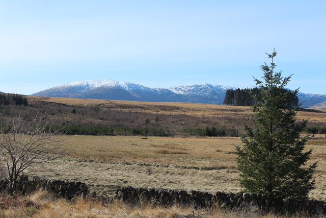
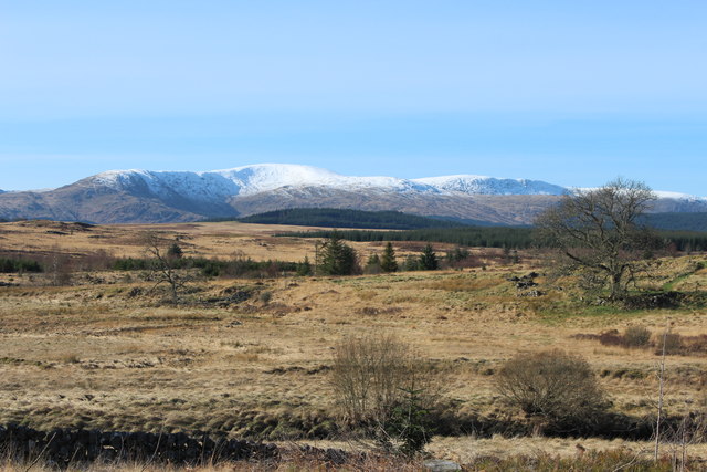
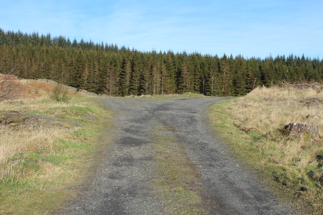
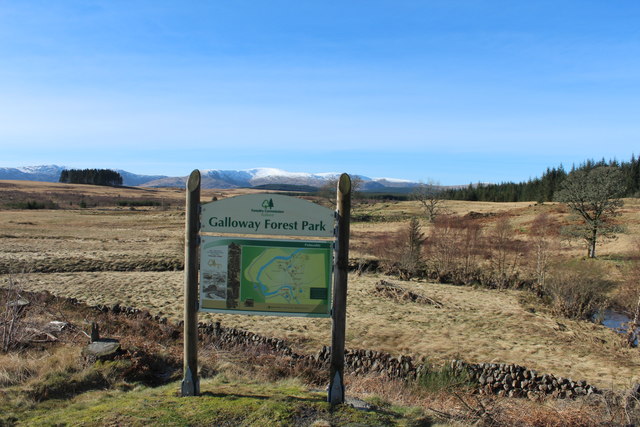
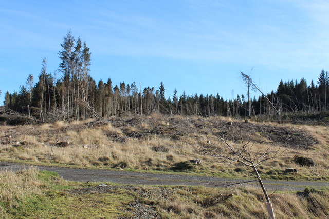
The hill is characterized by its rugged terrain, with rocky outcrops and heather-covered slopes providing a challenging yet rewarding hiking experience for outdoor enthusiasts. At the summit, visitors can enjoy breathtaking vistas of the Galloway Forest Park to the north and the Solway Firth to the south.

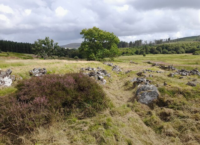
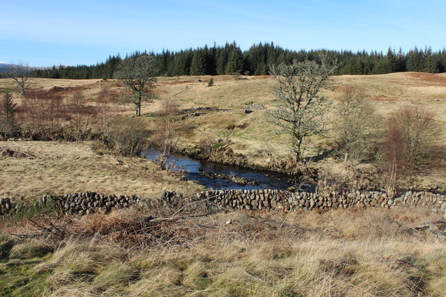
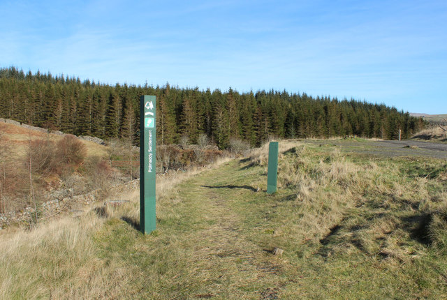
Black Croft Knowe is home to a diverse range of flora and fauna, including native species such as red deer, wild goats, and a variety of birdlife. The hill is also steeped in history, with ancient ruins and archaeological sites scattered throughout the landscape, offering insights into the area's rich cultural heritage.

Overall, Black Croft Knowe is a must-visit destination for nature lovers and history buffs alike, offering a unique blend of natural beauty and historical significance in the heart of Scotland's picturesque countryside.

If you have any feedback on the listing, please let us know in the comments section below.

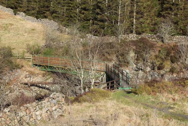
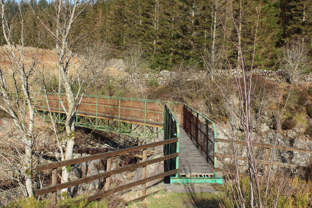
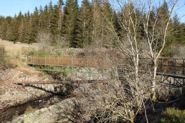
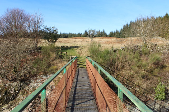
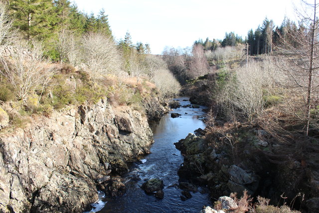
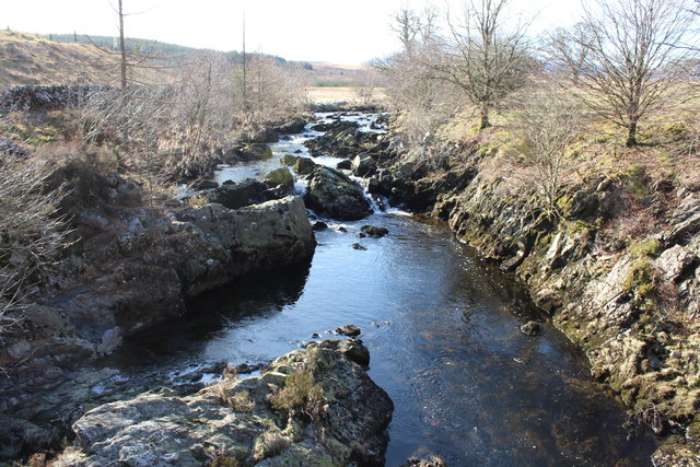
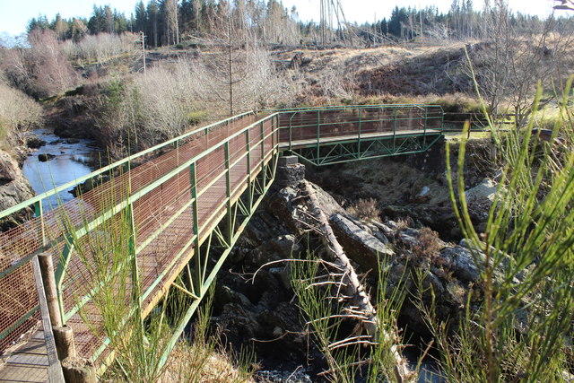
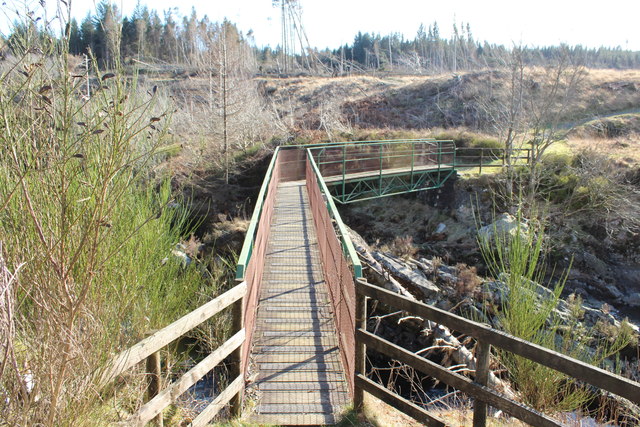
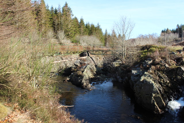
Black Croft Knowe Images

Images are sourced within 2km of 55.166308/-4.1858507 or Grid Reference NX6087. Thanks to Geograph Open Source API. All images are credited.

Polmaddy In a clearing at Castlemaddy Woods, you can explore the remains of Polmaddy, a traditional Galloway ferm-toun, (farming village). Changes in farming during the 18th and 19th centuries led to the abandonment of many such small farm villages in this area.
Polmaddy
In a clearing at Castlemaddy Woods, you can explore the remains of Polmaddy, a traditional Galloway ferm-toun, (farming village). Changes in farming during the 18th and 19th centuries led to the abandonment of many such small farm villages in this area.
A713 near Dundeugh
A713 near Dundeugh
Moorland at Polmaddy With view to the snow covered Galloway Hills.
Moorland at Polmaddy
With view to the snow covered Galloway Hills.
Polmaddy Historic Settlement With view to the snow covered Galloway Hills.
Polmaddy Historic Settlement
With view to the snow covered Galloway Hills.
Car Park at Polmaddy
Galloway Forest Park
The Polmaddy Burn
The Polmaddy Burn
Path to Polmaddy Settlement
Woodland at Polmaddy
Footbridge to Polmaddy Historic Settlement
Footbridge over Polmaddy Burn
Path to Polmaddy Settlement
Polmaddy Burn
Polmaddy Burn
The Polmaddy Burn
The Polmaddy Burn
Polmaddy Footbridge
Polmaddy Footbridge
Polmaddy Footbridge
Polmaddy Footbridge
Polmaddy Burn
Polmaddy Burn
Show me another place!

Black Croft Knowe is located at Grid Ref: NX6087 (Lat: 55.166308, Lng: -4.1858507)

Unitary Authority: Dumfries and Galloway

Police Authority: Dumfries and Galloway

What 3 Words

///cashiers.crafted.spider. Near Bellsbank, East Ayrshire

Related Wikis

Waukers Linn

Waukers Linn is a waterfall on Polharrow Burn in Dumfries and Galloway, Scotland. == See also == Waterfalls of Scotland == References ==

Polharrow Burn

Polharrow Burn is a small watercourse in Dumfries and Galloway, Scotland, in the historic county of Kirkcudbrightshire. It rises in Loch Harrow and flows...

Earlstoun Castle

Earlstoun Castle, sometimes spelled Earlston Castle, is a derelict tower house near St John's Town of Dalry in Dumfries and Galloway, Scotland. Built in...

Lochinvar

Lochinvar (or Lan Var) is a loch in the civil parish of Dalry in the historic county of Kirkcudbrightshire, Dumfries and Galloway Scotland. It is located...

Nearby Amenities

Located within 500m of 55.166308,-4.1858507
Power: tower
Lat/Long: 55.1635319/-4.1905159
Power: tower
Lat/Long: 55.1635557/-4.1911955
Generator Method: run-of-the-river
Generator Source: hydro
Power: generator
Lat/Long: 55.1646533/-4.1908191
Design: h-frame
Material: wood
Power: tower
Lat/Long: 55.1679/-4.1787905
Design: h-frame
Material: wood
Power: tower
Lat/Long: 55.1678878/-4.18033
Design: h-frame
Material: wood
Power: tower
Lat/Long: 55.1678786/-4.1819072
Design: h-frame
Material: wood
Power: tower
Lat/Long: 55.1678969/-4.1832268
Design: h-frame
Material: wood
Power: tower
Lat/Long: 55.1675813/-4.1841817
Design: h-frame
Material: wood
Power: tower
Lat/Long: 55.1672229/-4.185378
Design: h-frame
Material: wood
Power: tower
Lat/Long: 55.1671646/-4.1867727
Design: h-frame
Material: wood
Power: tower
Lat/Long: 55.1670722/-4.18823
Design: h-frame
Material: wood
Power: tower
Lat/Long: 55.1672285/-4.1890617
Design: h-frame
Material: wood
Power: tower
Lat/Long: 55.1678417/-4.192109
Material: wood
Power: pole
Lat/Long: 55.1627258/-4.1880659
Material: wood
Power: pole
Lat/Long: 55.1634583/-4.1879347
Material: wood
Power: pole
Lat/Long: 55.1639375/-4.1885181
Line Management: branch
Material: wood
Power: pole
Lat/Long: 55.1642474/-4.1888873
Material: wood
Power: pole
Lat/Long: 55.1638476/-4.189305
Material: wood
Power: pole
Lat/Long: 55.1644805/-4.1886585
Material: wood
Power: pole
Lat/Long: 55.1644951/-4.1886448
Line Management: branch
Material: wood
Power: pole
Lat/Long: 55.1646884/-4.1884445
Material: wood
Power: pole
Lat/Long: 55.1651039/-4.1880088
Material: wood
Power: pole
Lat/Long: 55.1654713/-4.1876335
Material: wood
Power: pole
Lat/Long: 55.1657684/-4.1868849
Material: wood
Power: pole
Lat/Long: 55.1650077/-4.1897854
Material: wood
Power: pole
Lat/Long: 55.1651453/-4.1903656
Material: wood
Power: pole
Lat/Long: 55.165074/-4.1915119
Material: wood
Power: pole
Lat/Long: 55.1650174/-4.1926723
Material: wood
Power: pole
Lat/Long: 55.1648462/-4.1928279
Material: wood
Power: pole
Lat/Long: 55.1647742/-4.1917543
Material: wood
Power: pole
Lat/Long: 55.164424/-4.191292
Line Management: termination
Location Transition: yes
Material: wood
Power: pole
Lat/Long: 55.1683056/-4.1806836
Material: wood
Power: pole
Lat/Long: 55.1686768/-4.1797089
Line Management: termination
Location Transition: yes
Material: wood
Power: pole
Lat/Long: 55.1672782/-4.1832376
Line Management: branch
Material: wood
Power: pole
Lat/Long: 55.1668787/-4.1842056
Material: wood
Power: pole
Lat/Long: 55.166437/-4.1852757
Material: wood
Power: pole
Lat/Long: 55.1660771/-4.1861439
Design: h-frame
Material: wood
Power: tower
Lat/Long: 55.1675366/-4.1905588
Power: pole
Lat/Long: 55.1663339/-4.1836508
Power: pole
Lat/Long: 55.1657296/-4.1830878
Power: pole
Lat/Long: 55.1650622/-4.1824568
Power: pole
Lat/Long: 55.1644445/-4.1818769
Power: pole
Lat/Long: 55.1638389/-4.181299
Power: pole
Lat/Long: 55.1632176/-4.180719
The data included in this document is from www.openstreetmap.org. The data is made available under ODbL.

Have you been to Black Croft Knowe?

Leave your review of Black Croft Knowe below (or comments, questions and feedback).