Ashmark Hill
Hill, Mountain in Ayrshire
Scotland
Ashmark Hill
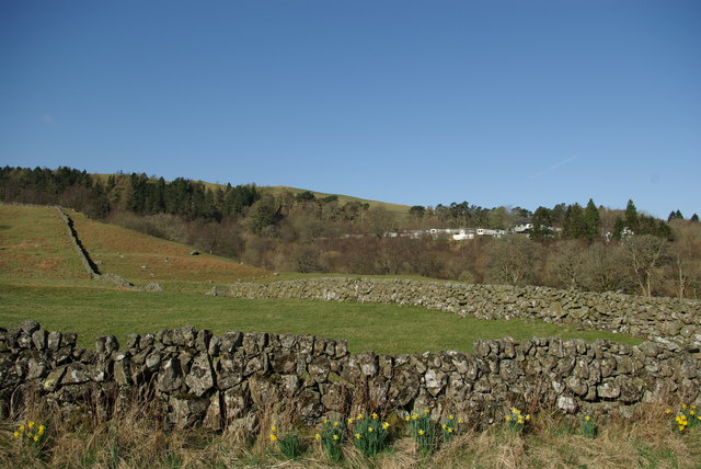
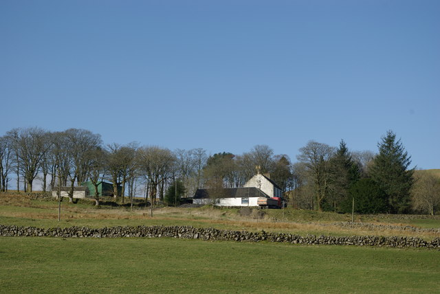
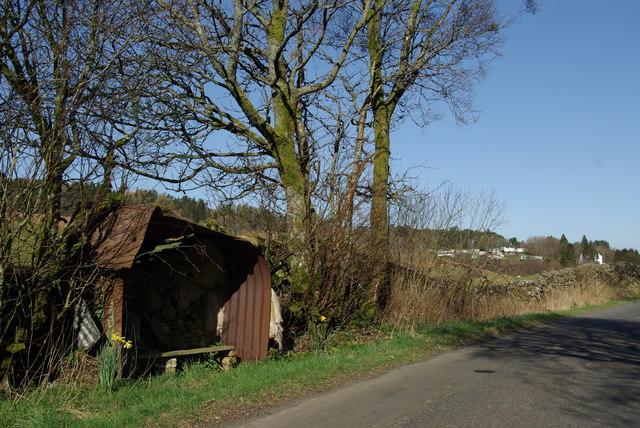
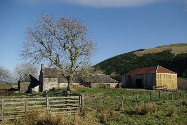
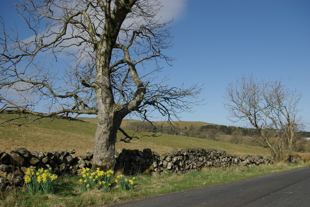
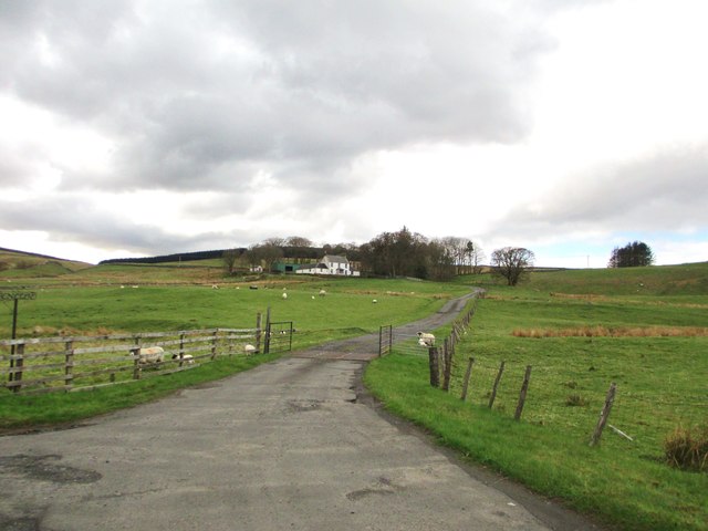
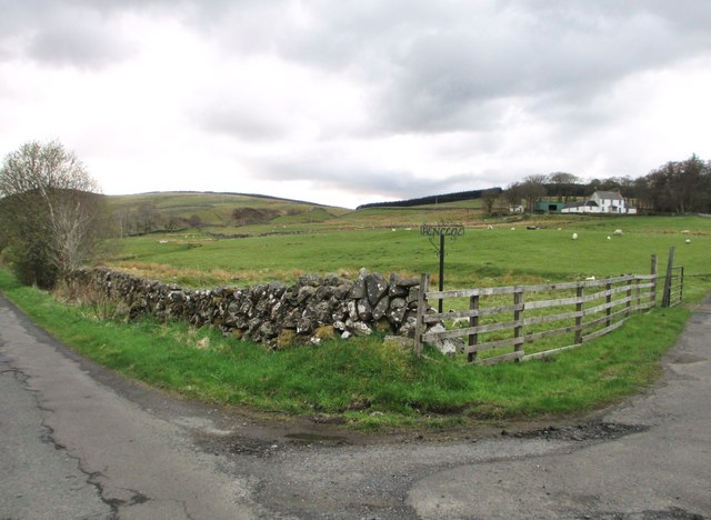
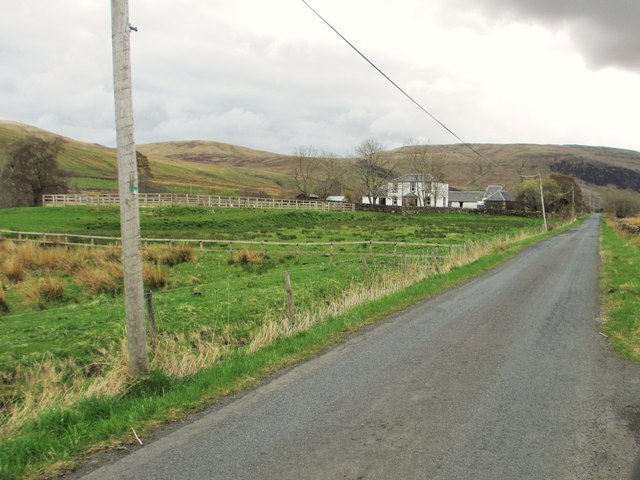
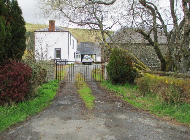
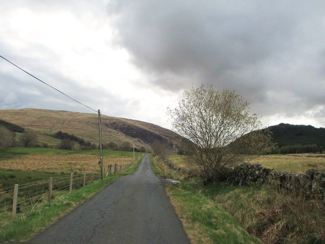
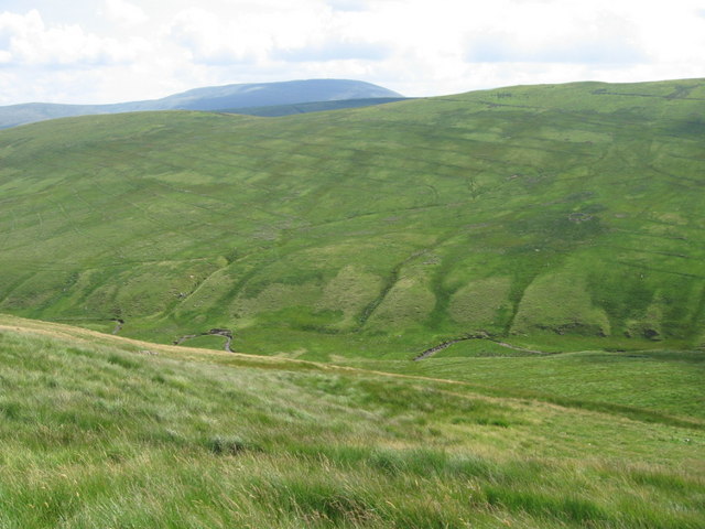
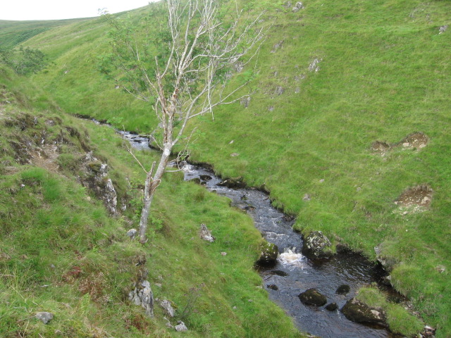
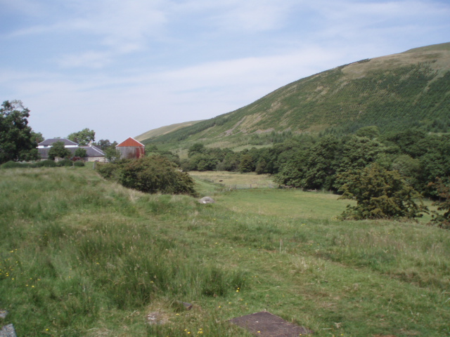
Ashmark Hill is a prominent landmark located in Ayrshire, Scotland. Standing at an elevation of approximately 200 meters (656 feet), it is classified as a hill rather than a mountain due to its modest height. Situated near the village of Ashmark, the hill offers breathtaking panoramic views of the surrounding countryside and is a popular destination for hikers and nature enthusiasts.
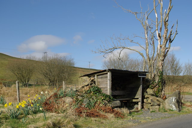
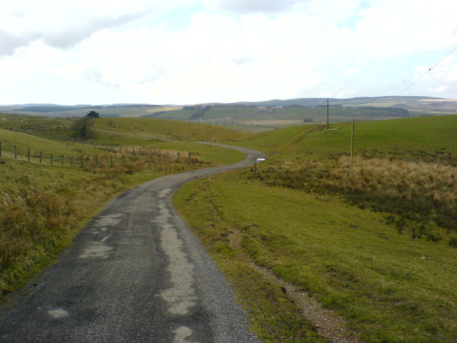
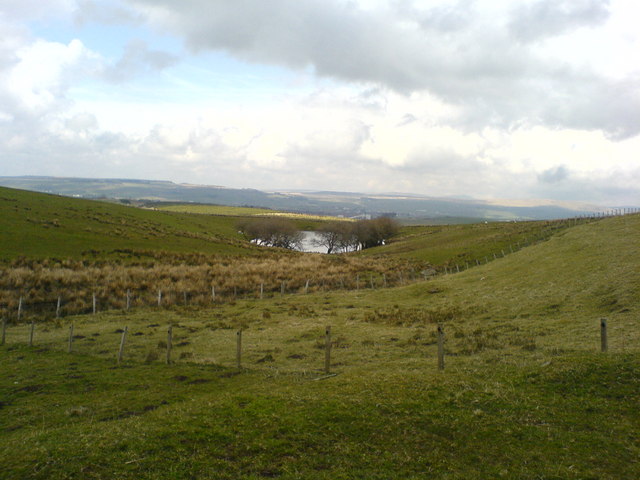
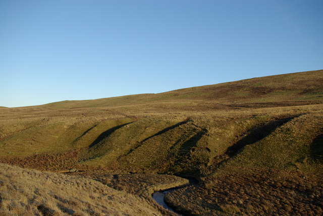
The hill is characterized by its gently sloping terrain, covered in lush green vegetation that changes with the seasons. It is predominantly made up of grasslands, with scattered patches of heather and shrubs. The soft, well-maintained footpaths allow visitors to explore the hill easily, while also protecting the delicate ecosystem.
Wildlife is abundant on Ashmark Hill, with various species of birds, small mammals, and insects calling it home. Birdwatchers may catch glimpses of buzzards, kestrels, and pheasants soaring above, while rabbits, squirrels, and the occasional deer can be spotted amongst the vegetation.
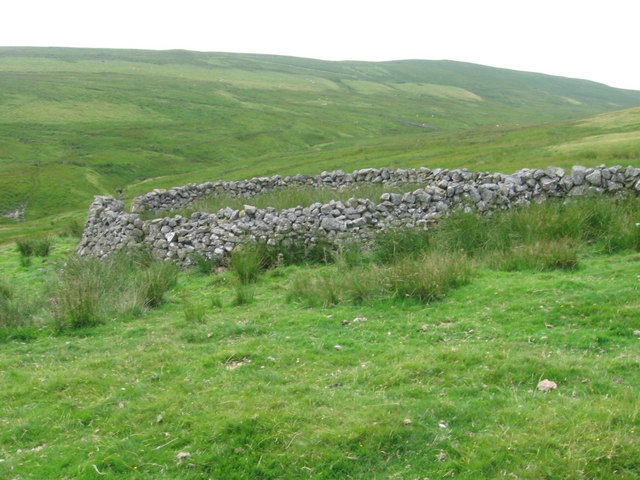
Ashmark Hill is also steeped in history, with evidence of ancient settlements found in the form of burial mounds and stone circles. Archaeologists have discovered artifacts dating back thousands of years, hinting at the hill's significance to past civilizations.
Overall, Ashmark Hill offers a picturesque and tranquil setting, inviting visitors to immerse themselves in the natural beauty and rich history of Ayrshire. Whether it be for a leisurely stroll, a spot of birdwatching, or an exploration of the area's archaeological past, the hill provides a rewarding experience for all who venture to its summit.
If you have any feedback on the listing, please let us know in the comments section below.
Ashmark Hill Images
Images are sourced within 2km of 55.360102/-4.1967434 or Grid Reference NS6009. Thanks to Geograph Open Source API. All images are credited.
Ashmark Hill is located at Grid Ref: NS6009 (Lat: 55.360102, Lng: -4.1967434)
Unitary Authority: East Ayrshire
Police Authority: Ayrshire
What 3 Words
///rooks.crusher.geese. Near New Cumnock, East Ayrshire
Nearby Locations
Related Wikis

Knockshinnoch disaster
The Knockshinnoch disaster was a mining accident that occurred in September 1950 in the village of New Cumnock, Ayrshire, Scotland. A glaciated lake filled...

New Cumnock Town Hall
New Cumnock Town Hall is a municipal building in Castle, New Cumnock, East Ayrshire, Scotland. The structure, which is used as a community events venue...

New Cumnock
New Cumnock is a town in East Ayrshire, Scotland. It expanded during the coal-mining era from the late 18th century, and mining remained its key industry...

River Afton
The River Afton (or Afton Water) is a small river in Ayrshire, Scotland, which flows north from Alwhat Hill in the Carsphairn and Scaur Hills, through...

Connel Burn
Connel Burn is a river in East Ayrshire, Scotland, which rises at Enoch Hill in the Southern Uplands and flows northwards through Laglaf and Connel Park...

Glenafton Athletic F.C.
Glenafton Athletic Football Club is a Scottish football club, based in New Cumnock, Ayrshire. Members of the Scottish Junior Football Association, they...

New Cumnock railway station
New Cumnock railway station is a railway station serving the town of New Cumnock, East Ayrshire, Scotland. The station is managed by ScotRail and is on...

Blackcraig Hill
Blackcraig Hill is a hill in the Carsphairn and Scaur Hills range, part of the Southern Uplands of Scotland. It lies southeast of the town of New Cumnock...
Nearby Amenities
Located within 500m of 55.360102,-4.1967434Have you been to Ashmark Hill?
Leave your review of Ashmark Hill below (or comments, questions and feedback).