Meall na Caora
Hill, Mountain in Perthshire
Scotland
Meall na Caora
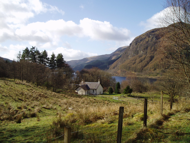
![Bothan Eas An Eoin Ruin, with evidence of rig and furrow nearby. For more information see Canmore.org.uk. Bothan Eas An Eoin | Canmore. Available online at: <span class="nowrap"><a title="https://canmore.org.uk/site/82041/bothan-eas-an-eoin" rel="nofollow ugc noopener" href="https://canmore.org.uk/site/82041/bothan-eas-an-eoin">Link</a><img style="margin-left:2px;" alt="External link" title="External link - shift click to open in new window" src="https://s1.geograph.org.uk/img/external.png" width="10" height="10"/></span> [Accessed 31 May 2022].
](https://s2.geograph.org.uk/geophotos/07/18/78/7187802_fe33d58b.jpg)
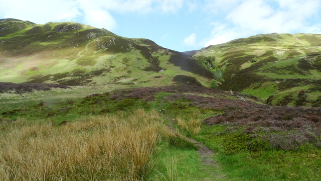
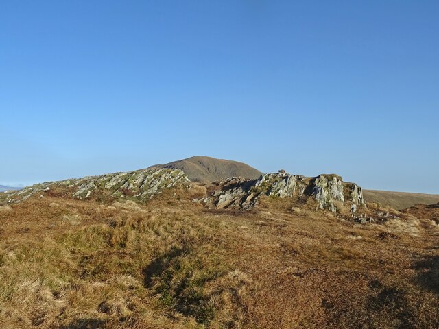
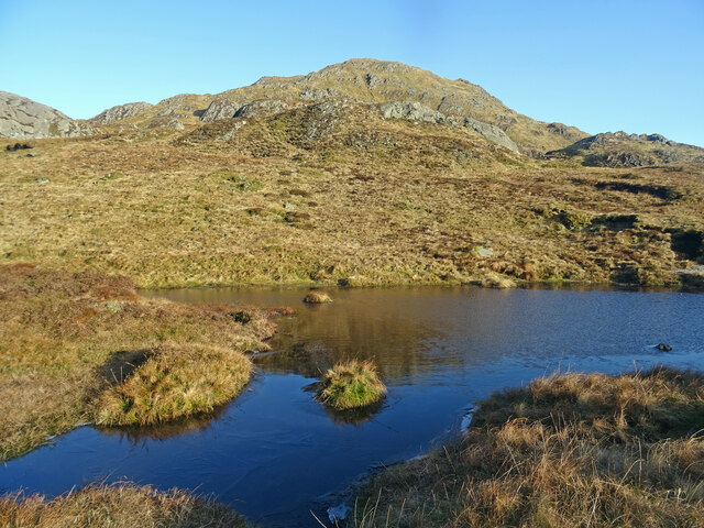
Meall na Caora is a prominent hill located in the county of Perthshire, Scotland. With a height of 537 meters (1,762 feet), it offers stunning panoramic views of the surrounding landscape. Situated in the southern part of the Cairngorms National Park, it is a popular destination for hillwalkers and outdoor enthusiasts.
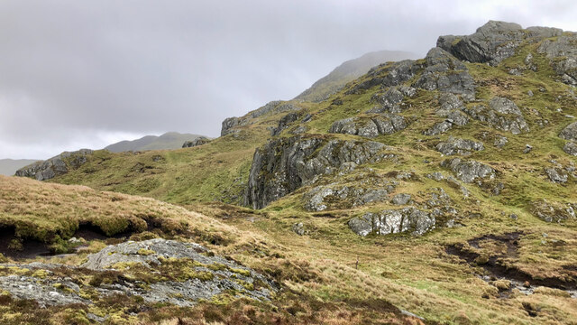
The hill is characterized by its gently sloping terrain, covered in heather, grass, and scattered rocks. It is part of a larger range known as the Drumochter Hills, which stretches across the central Highlands. Meall na Caora is easily accessible, with a well-defined path leading to its summit, making it suitable for walkers of all abilities.
From the summit of Meall na Caora, visitors are treated to breathtaking vistas of the surrounding countryside. On clear days, one can see the Grampian Mountains to the north, the Cairngorms to the east, and the Ben Lawers range to the west. The nearby Loch Ericht and Loch Laggan add to the scenic beauty of the area.
Wildlife enthusiasts will also find Meall na Caora to be of interest. The hill is home to a variety of bird species, including ptarmigan, golden eagles, and red grouse. During the summer months, the hillside bursts into color with the vibrant blooms of heather and wildflowers.
Overall, Meall na Caora offers a picturesque and accessible hillwalking experience in the heart of Perthshire. Its stunning views, diverse wildlife, and tranquil surroundings make it a must-visit destination for nature lovers and outdoor adventurers.
If you have any feedback on the listing, please let us know in the comments section below.
Meall na Caora Images
Images are sourced within 2km of 56.30763/-4.251784 or Grid Reference NN6015. Thanks to Geograph Open Source API. All images are credited.


Meall na Caora is located at Grid Ref: NN6015 (Lat: 56.30763, Lng: -4.251784)
Unitary Authority: Stirling
Police Authority: Forth Valley
What 3 Words
///routine.gripes.shuffles. Near Callander, Stirling
Nearby Locations
Related Wikis

Beinn Each
Beinn Each (813 m) is a mountain in the southern Grampian Mountains of Scotland. It is located in Stirlingshire, north of the town of Callander. Rising...

Stùc a' Chroin
Stùc a' Chroin (Scottish Gaelic: Stùc a' Chrodhain, 'cloven hoof peak') (also translated as 'hill of the little sheepfold' or 'peak of danger') is a mountain...
Ardchullarie More
Ardchullarie More is a small hamlet in the Stirling council area, Scotland and is situated on the eastern side of Loch Lubnaig. == External links == Scottish...

Loch Lubnaig
Loch Lubnaig (Loch Lùbnaig in Gaelic) is a small freshwater loch near Callander in the Stirling council area, Scottish Highlands. It lies in the former...
Have you been to Meall na Caora?
Leave your review of Meall na Caora below (or comments, questions and feedback).