Beninner
Hill, Mountain in Kirkcudbrightshire
Scotland
Beninner
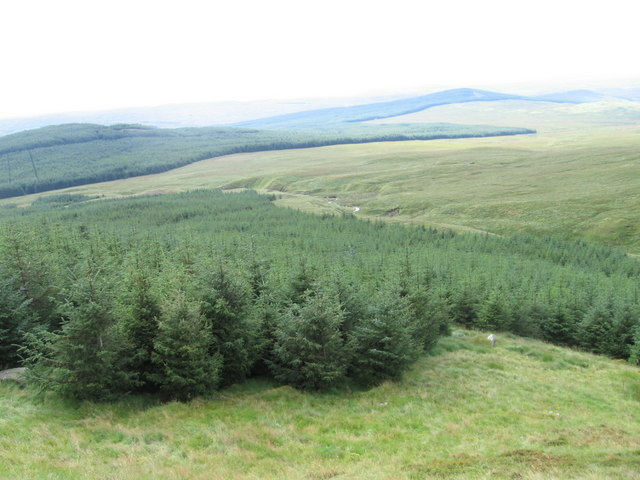
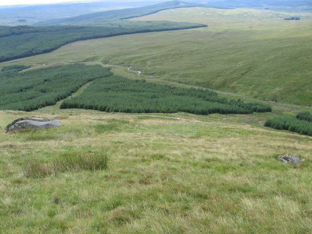
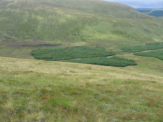
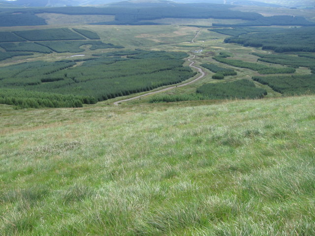
Benninner is a hill located in Kirkcudbrightshire, Scotland. It stands at an elevation of 262 meters (860 feet) above sea level and is part of the Galloway Hills range. The hill is situated near the village of Carsluith and offers panoramic views of the surrounding countryside and the Solway Firth.
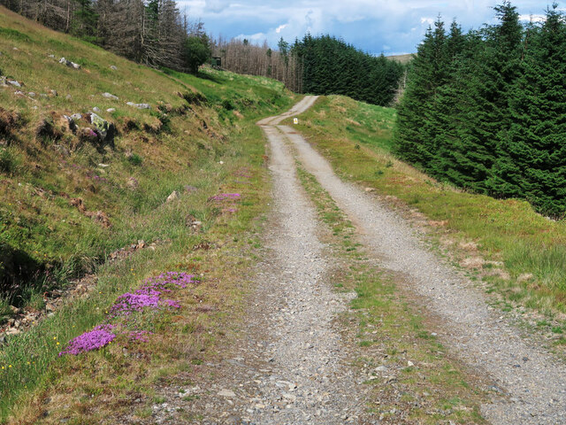
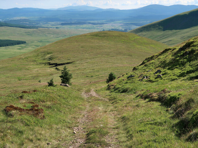
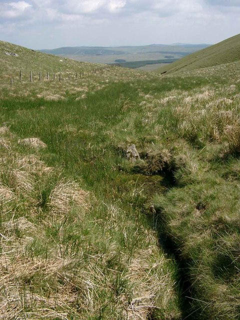
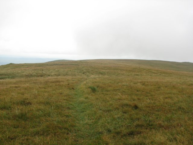
Benninner is a popular destination for hikers and outdoor enthusiasts, with a well-maintained trail leading to the summit. The hike to the top is moderate in difficulty, making it accessible to hikers of all skill levels. Along the way, hikers can enjoy the diverse flora and fauna of the area, including heather, wildflowers, and various bird species.
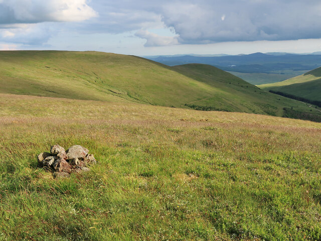
At the summit of Benninner, hikers are rewarded with breathtaking views of the rolling hills, valleys, and coastline of Kirkcudbrightshire. On a clear day, it is possible to see as far as the Isle of Man and the Lake District in England.
Overall, Benninner is a picturesque hill that offers a peaceful and scenic escape for those looking to explore the natural beauty of Kirkcudbrightshire.
If you have any feedback on the listing, please let us know in the comments section below.
Beninner Images
Images are sourced within 2km of 55.248855/-4.1948647 or Grid Reference NX6097. Thanks to Geograph Open Source API. All images are credited.


Beninner is located at Grid Ref: NX6097 (Lat: 55.248855, Lng: -4.1948647)
Unitary Authority: Dumfries and Galloway
Police Authority: Dumfries and Galloway
What 3 Words
///arrived.tricycle.building. Near Bellsbank, East Ayrshire
Nearby Locations
Related Wikis

Cairnsmore of Carsphairn
Cairnsmore of Carsphairn is a hill in the Carsphairn and Scaur Hills range, part of the Southern Uplands of Scotland. An alternative name, rarely used...

Windy Standard
Windy Standard is a hill in the Carsphairn and Scaur Hills range, part of the Southern Uplands of Scotland. It lies in Dumfries and Galloway, south of...

Carsphairn
Carsphairn (Scottish Gaelic: An Còrsa Feàrna) is a village in the historic county of Kirkcudbrightshire in Dumfries and Galloway, Scotland. It is located...
Nearby Amenities
Located within 500m of 55.248855,-4.1948647Have you been to Beninner?
Leave your review of Beninner below (or comments, questions and feedback).