Mid Hill
Hill, Mountain in Lanarkshire
Scotland
Mid Hill

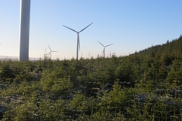
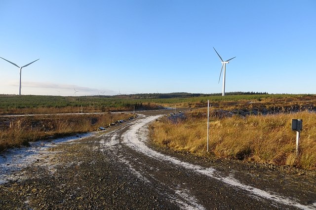
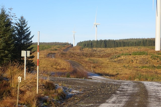
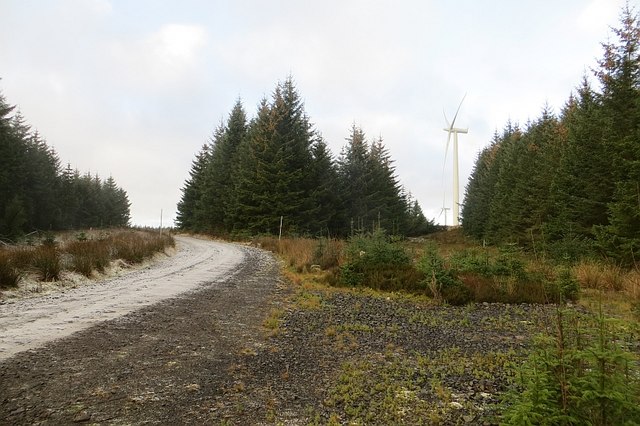
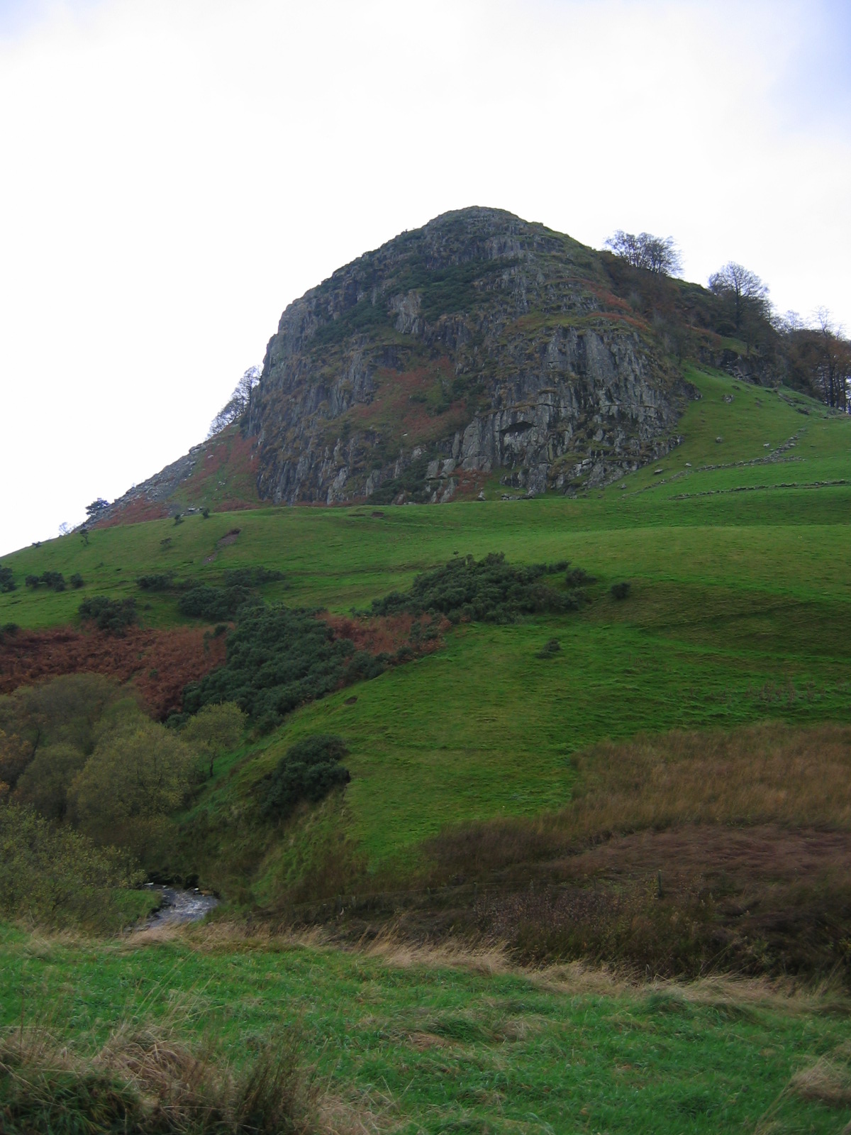
Mid Hill is a prominent hill located in the county of Lanarkshire, Scotland. Situated within the picturesque Clyde Valley, it is part of the wider Southern Uplands range. With an elevation of approximately 536 meters (1,759 feet), it offers breathtaking views of the surrounding countryside.
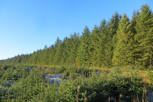
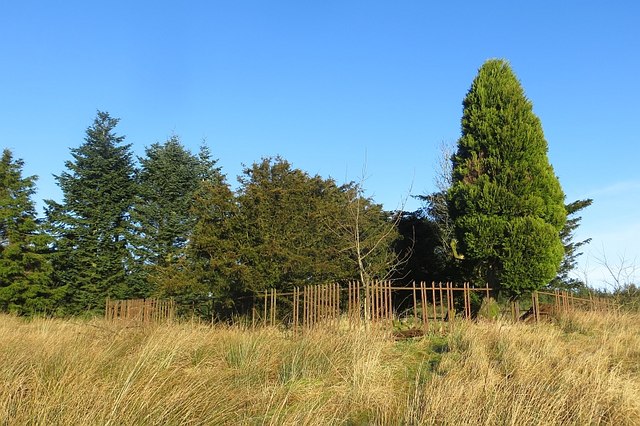
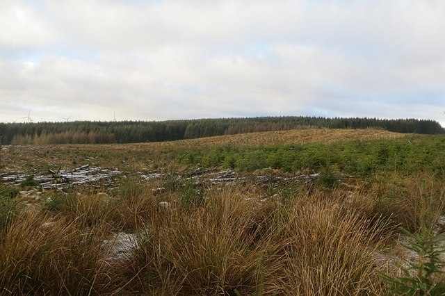
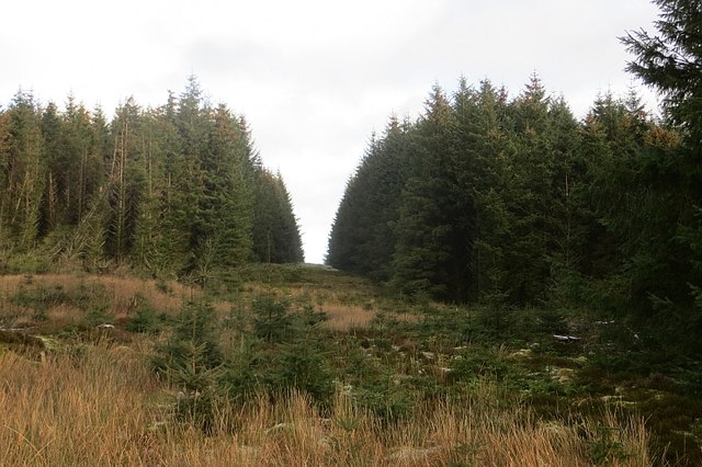
The hill is characterized by its distinct conical shape, which contributes to its commanding presence in the landscape. Covered in a mix of heather and grasses, it provides a habitat for a variety of wildlife, including birds of prey, rabbits, and deer. The rich biodiversity of the area has made it a popular destination for nature enthusiasts and hikers.
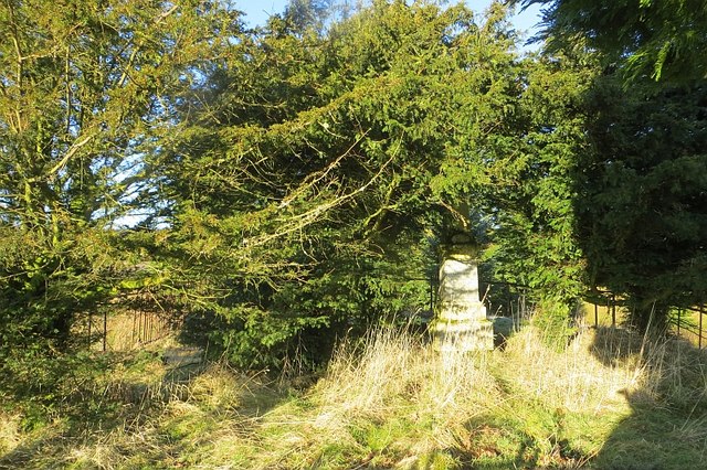
Mid Hill also holds historical significance, with traces of human activity dating back centuries. It is believed that the hill was once used as a ceremonial site during the Neolithic period, as evidenced by the existence of ancient burial cairns nearby. The hill's strategic location also made it an ideal vantage point for early settlers, allowing them to monitor the surrounding valleys.
Today, Mid Hill continues to attract visitors from near and far, offering a range of recreational activities. Hikers and climbers are drawn to its challenging slopes, while photographers and artists are captivated by its natural beauty. The hill's accessibility, thanks to well-maintained trails, makes it an ideal destination for both experienced adventurers and those seeking a more leisurely stroll.
Overall, Mid Hill in Lanarkshire is a captivating natural landmark, combining stunning scenery, wildlife, and historical significance to create an unforgettable experience for all who venture to its summit.
If you have any feedback on the listing, please let us know in the comments section below.
Mid Hill Images
Images are sourced within 2km of 55.668801/-4.2184355 or Grid Reference NS6043. Thanks to Geograph Open Source API. All images are credited.


Mid Hill is located at Grid Ref: NS6043 (Lat: 55.668801, Lng: -4.2184355)
Unitary Authority: South Lanarkshire
Police Authority: Lanarkshire
What 3 Words
///innovator.lives.crowns. Near Darvel, East Ayrshire
Related Wikis

Corse Hill
Corse Hill is a hill located between East Renfrewshire and South Lanarkshire of Scotland. With a height of 376 m (1,234 ft), it is the highest point in...

Whitelee Wind Farm
Whitelee Wind Farm is a windfarm on the Eaglesham moor in Scotland. The main visitor centre is located in East Renfrewshire, but the majority of turbines...

Battle of Drumclog
The Battle of Drumclog was fought on 1 June 1679, between a group of Covenanters and the forces of John Graham of Claverhouse, at Drumclog, in South Lanarkshire...

Drumclog Moss
Drumclog Moss is a flat wilderness of broken bog and quagmire in Lanarkshire, Scotland. The Covenanters defeated Claverhouse's dragoons at the site in...

East Kilbride (district)
East Kilbride (Scottish Gaelic: Cille Bhrìghde an Ear, Scots: East Kirkbride) was a local government district in the Strathclyde region of Scotland from...
Trumpeter's Well
The Trumpeter's Well at Caldermill in South Lanarkshire is recorded as the site of the death of a government trumpeter or cornet who was killed in the...
Loudoun Hill
Loudoun Hill (Scottish Gaelic: Beinn Lùghdain; also commonly Loudounhill) is a volcanic plug in East Ayrshire, Scotland. It is located near the head of...

Drumclog
Drumclog is a small village in South Lanarkshire, Parish of Avendale and Drumclog, Scotland. The habitation is situated on the A71, between Caldermill...
Nearby Amenities
Located within 500m of 55.668801,-4.2184355Have you been to Mid Hill?
Leave your review of Mid Hill below (or comments, questions and feedback).