Hockley
Settlement in Warwickshire Tamworth
England
Hockley
Hockley is a small village located in the county of Warwickshire, England. Situated about 11 miles southeast of the county town of Warwick, Hockley is part of the Stratford-on-Avon district. The village has a population of approximately 600 residents, making it a tight-knit and close community.
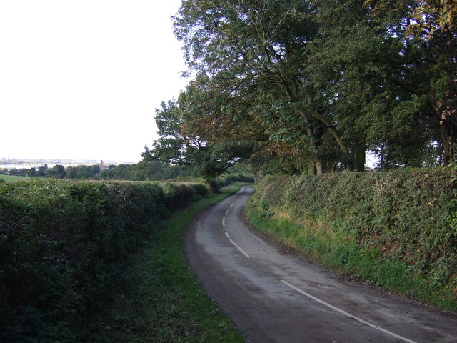
Hockley is known for its picturesque setting, surrounded by rolling countryside and farmland. The village itself is characterized by charming cottages and historic buildings, lending it a traditional English countryside feel. The nearby Hockley Heath provides a pleasant green space for residents and visitors alike to enjoy walks and outdoor activities.
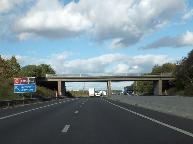
Despite its small size, Hockley has a few amenities to offer its residents. These include a local primary school, a village hall that hosts community events, and a pub that serves as a popular gathering spot for locals. The village also benefits from excellent transport links, with easy access to the nearby M40 motorway and the train stations of Warwick and Stratford-upon-Avon.
Hockley is ideally situated for exploring the wider Warwickshire area. The nearby towns of Warwick and Stratford-upon-Avon offer a range of attractions, including historic landmarks like Warwick Castle and Shakespeare's Birthplace. Additionally, the Cotswolds, renowned for their picturesque villages and stunning landscapes, are easily accessible from Hockley.
Overall, Hockley is a charming and peaceful village, offering a tranquil setting and access to the wider attractions of Warwickshire.
If you have any feedback on the listing, please let us know in the comments section below.
Hockley Images
Images are sourced within 2km of 52.600717/-1.668053 or Grid Reference SK2200. Thanks to Geograph Open Source API. All images are credited.


Hockley is located at Grid Ref: SK2200 (Lat: 52.600717, Lng: -1.668053)
Administrative County: Staffordshire
District: Tamworth
Police Authority: Staffordshire
What 3 Words
///debate.soft.torn. Near Fazeley, Staffordshire
Nearby Locations
Related Wikis

The Wilnecote School
The Wilnecote School (formerly Wilnecote High School) is a co-educational secondary school located in Wilnecote (near Tamworth) in the English county of...
Wilnecote
Wilnecote (pronounced Wilncutt) is a suburban area about two miles (3.2 km) south-east of Tamworth, in the Tamworth district, in the county of Staffordshire...
Dosthill
Dosthill is an area of Tamworth, Staffordshire, 2.5 miles south of the town centre, and close to the River Tame. The area is mostly residential, centering...
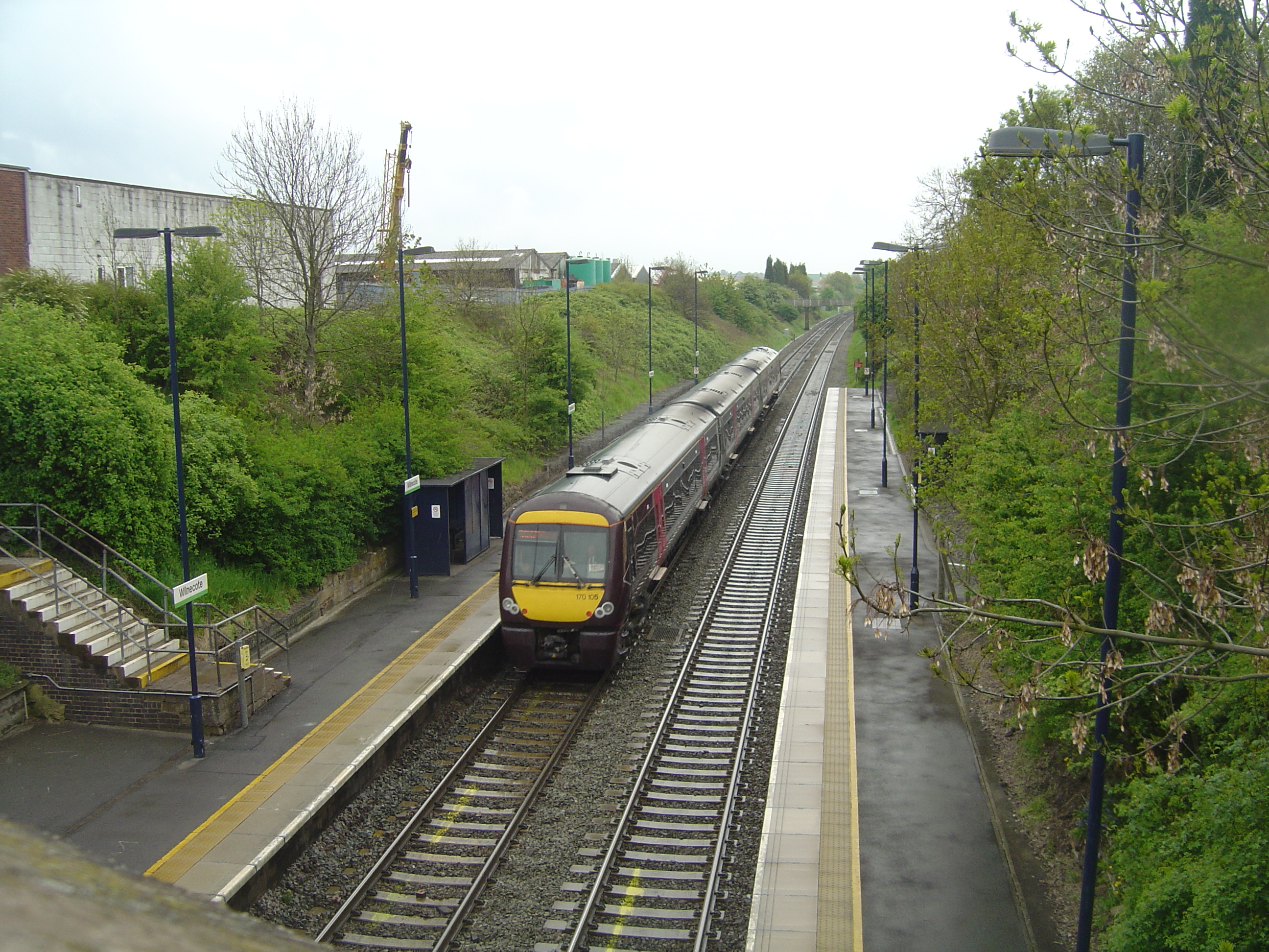
Wilnecote railway station
Wilnecote railway station is a small unmanned station serving Wilnecote 1.5 miles (2 km) south of Tamworth town centre in Staffordshire, England. The station...
Related Videos

Walking The Birmingham and Fazeley Canal (Part 5)
The last part of my Walking the Birmingham and Fazeley Canal. Starting this part of the towpath walk at Kingsbury Water Park ...

Travel with Collins Delwita Beautiful placess In UK එන්ගලන්තයේ ලස්සන තැන්#travelwithwife#travelsri
This is most beautiful place in UK where I live. There are plenty to see and lots of entertainment around the area. I manage to ...

The Heart Of England Way (Part 7) Kingsbury to Whitacre Heath
The seventh part of my walk along the Heart of England Way. Continuing from the village of Kingsbury where I finished in part 6, ...

Visiting the SPUDMAN in Tamworth!!
This is a vlog of my visit to Tamworth to meet my good friend the Spudman, or Ben. There is also an extended version here: ...
Nearby Amenities
Located within 500m of 52.600717,-1.668053Have you been to Hockley?
Leave your review of Hockley below (or comments, questions and feedback).