Achraw Hill

Hill, Mountain in Perthshire

Scotland

Achraw Hill

A85 near Lochearnhead
A85 near Lochearnhead Credit: Steven Brown

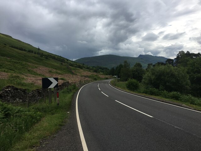
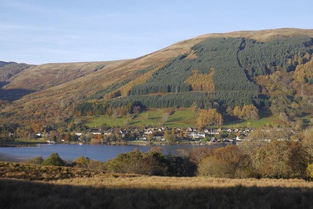
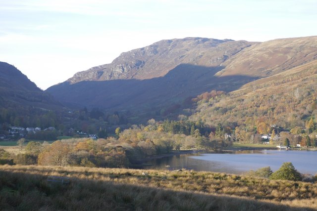
Achraw Hill is a prominent landmark located in Perthshire, Scotland. Standing at an elevation of approximately 631 meters (2,070 feet), it is classified as a hill rather than a mountain. The hill is situated within the Loch Lomond and The Trossachs National Park, providing visitors with stunning panoramic views of the surrounding area.

Achraw Hill is known for its rugged and rocky terrain, making it a popular destination for outdoor enthusiasts and hikers. Its slopes are covered with heather, grasses, and scattered patches of woodland, creating a picturesque landscape. The hill is also home to various species of flora and fauna, including birds of prey such as golden eagles and peregrine falcons.

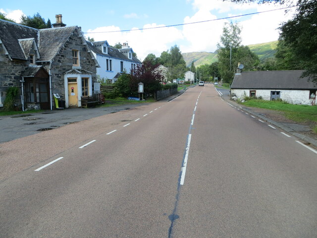
The ascent to Achraw Hill is moderately challenging, with several established trails leading to the summit. One of the most popular routes starts from the nearby village of Gartmore, offering a diverse range of scenery throughout the journey. It typically takes around 2 to 3 hours to complete the hike, depending on the chosen path and individual fitness levels.

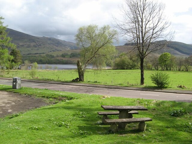
At the top of Achraw Hill, hikers are rewarded with breathtaking views of Loch Lomond, the Trossachs, and the surrounding mountains. On clear days, it is even possible to see as far as Ben Lomond, one of Scotland's most famous peaks. The hill provides a peaceful and tranquil setting, allowing visitors to connect with nature and enjoy the beauty of the Scottish countryside.

If you have any feedback on the listing, please let us know in the comments section below.

Achraw Hill Images

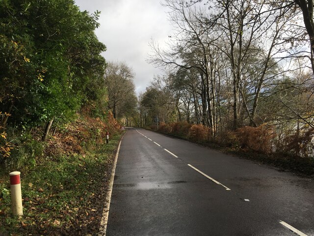
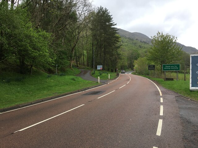
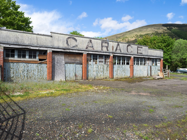
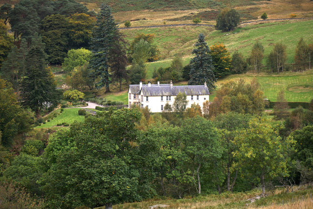
Images are sourced within 2km of 56.395914/-4.2750793 or Grid Reference NN5924. Thanks to Geograph Open Source API. All images are credited.

A85 near Lochearnhead
A85 at Lochearnhead
A85 at Lochearnhead
Picnic area Verdant turf abounds at low altitude in the picnic area, in contrast to adjacent mountain slopes.
Picnic area
Verdant turf abounds at low altitude in the picnic area, in contrast to adjacent mountain slopes.
Cottage with painted roof A fabulous contrast against a sky with heavy, showery clouds.
Cottage with painted roof
A fabulous contrast against a sky with heavy, showery clouds.
A85 in Glen Ogle
A85 in Glen Ogle
The junction of the A84 and A85 in Lochearnhead Looking north-westward.
The junction of the A84 and A85 in Lochearnhead
Looking north-westward.
A85/A84 in Lochearnhead
Public carpark in Lochearnhead
Ordnance Survey Flush Bracket S5181 This bracket can be found on the roadside (A84) wall of a former shop at Lochearnhead,
The recorded details give a height of 104.331 metres above sea level.
For more detail see : <span class="nowrap"><a title="https://www.bench-marks.org.uk/bm20810" rel="nofollow ugc noopener" href="https://www.bench-marks.org.uk/bm20810">Link</a><img style="margin-left:2px;" alt="External link" title="External link - shift click to open in new window" src="https://s1.geograph.org.uk/img/external.png" width="10" height="10"/></span>
Ordnance Survey Flush Bracket S5181
This bracket can be found on the roadside (A84) wall of a former shop at Lochearnhead, The recorded details give a height of 104.331 metres above sea level. For more detail see : LinkExternal link
Gates and cattle grid, Rob Roy Way A bike-width cattle grid on the cyclepath up to the pass at Glen Ogle.
Gates and cattle grid, Rob Roy Way
A bike-width cattle grid on the cyclepath up to the pass at Glen Ogle.
Former railway through Glen Ogle The Rob Roy Way (Drymen to Pitlochry) and cyclepath now share this route climbing gently to the pass at nearly 300m.
Former railway through Glen Ogle
The Rob Roy Way (Drymen to Pitlochry) and cyclepath now share this route climbing gently to the pass at nearly 300m.
Cyclists on the Glen Ogle route On the gently climbing route using the old railway to Crianlarich with a branch to Killin.
Cyclists on the Glen Ogle route
On the gently climbing route using the old railway to Crianlarich with a branch to Killin.
Disused garage building at Lochearnhead The building is on a site with another, just out of view, which is in a state of collapse; the site in May 2016, was for sale.
Disused garage building at Lochearnhead
The building is on a site with another, just out of view, which is in a state of collapse; the site in May 2016, was for sale.
Woodland above Lochearnhead Planted in the early 1980s.
Woodland above Lochearnhead
Planted in the early 1980s.
Lochearnhead and Glen Ogle The head of Loch Earn and famous pass beyond.
Lochearnhead and Glen Ogle
The head of Loch Earn and famous pass beyond.
Glenbeich Lodge Refurbished under new ownership
Glenbeich Lodge
Refurbished under new ownership
Avoiding electrocution In seven languages
Avoiding electrocution
In seven languages
Neolithic site? No: a turning circle on the deer hunting track at Glenbeich estate. The new landowner would appear to be accommodating double-decker buses for his shooting parties ... but more likely an over-engineered facility for Range Rover and SUV gathering in the hills. Some estates even erect elaborate 'dining halls'in the hills so that large set-lunches can be enjoyed, in comfort, by parties of weary shooters. A few years ago this was a modest hill track.
Neolithic site?
No: a turning circle on the deer hunting track at Glenbeich estate. The new landowner would appear to be accommodating double-decker buses for his shooting parties ... but more likely an over-engineered facility for Range Rover and SUV gathering in the hills. Some estates even erect elaborate 'dining halls'in the hills so that large set-lunches can be enjoyed, in comfort, by parties of weary shooters. A few years ago this was a modest hill track.
Show me another place!

Achraw Hill is located at Grid Ref: NN5924 (Lat: 56.395914, Lng: -4.2750793)

Unitary Authority: Stirling

Police Authority: Forth Valley

What 3 Words

///envoy.extension.nitrate. Near Callander, Stirling

Nearby Locations

Achraw Hill

Related Wikis

Lochearnhead railway station

Lochearnhead is a former railway station in the village of Lochearnhead in Perthshire. It opened in 1904 as part of the Comrie, St Fillans & Lochearnhead...

Lochearnhead

Lochearnhead (Scottish Gaelic: Ceann Loch Èireann) is a village in Perthshire on the A84 Stirling to Crianlarich road at the foot of Glen Ogle, 14 miles...

Edinample Castle

Edinample Castle is a late 16th-century tower house on the southern shores of Loch Earn near Balquhidder in the Stirling council area of Scotland. It was...

Falls of Edinample

The falls of Edinample is a waterfall near the village of Craggan in the district of Stirling in Scotland. == See also == Waterfalls of Scotland ��2�...

Have you been to Achraw Hill?

Leave your review of Achraw Hill below (or comments, questions and feedback).