Ynys Fer-lâs

Hill, Mountain in Merionethshire

Wales

Ynys Fer-lâs

Afon Glaslyn
Afon Glaslyn Credit: Chris Andrews

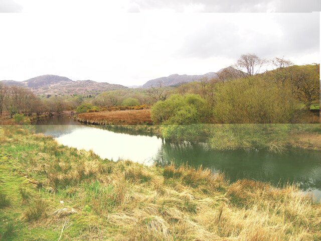
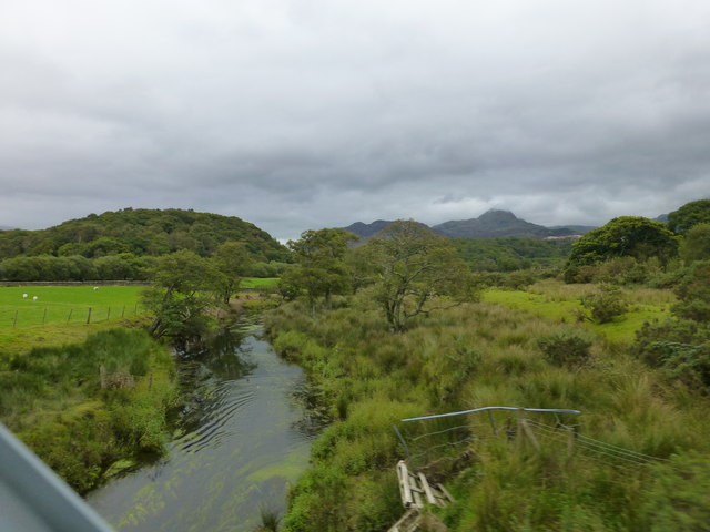
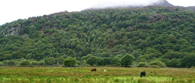
Ynys Fer-lâs, also known as Bird Rock, is a prominent hill located in Merionethshire, Wales. Situated on the west coast of the country, it is part of the Snowdonia National Park and offers breathtaking views of the surrounding landscape.

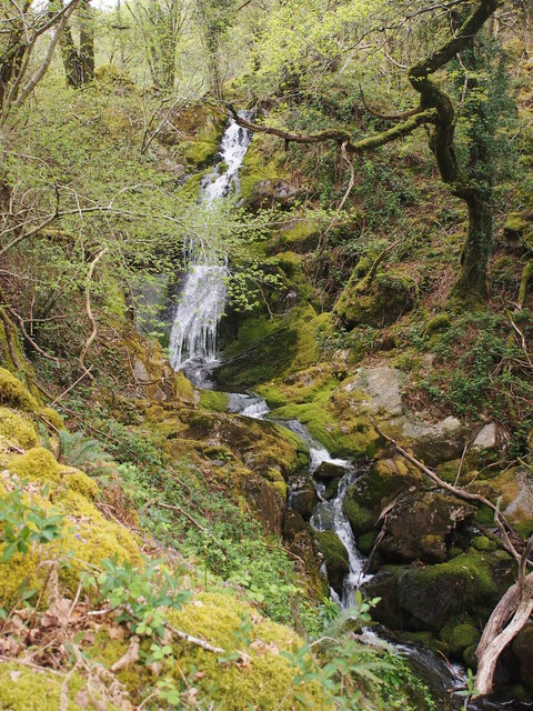
Rising 193 meters (633 feet) above sea level, Ynys Fer-lâs is a popular destination for hikers and nature enthusiasts. The hill is characterized by its rugged terrain, featuring rocky outcrops and steep slopes. Its unique geological formations and diverse flora and fauna make it an important ecological site.

The hill takes its name from the Welsh words "ynys" meaning island and "fer-lâs" meaning blue sea, reflecting its proximity to the Irish Sea. At low tide, a sandy causeway connects Ynys Fer-lâs to the mainland, providing access to the hill. During high tide, the hill becomes an island, adding to its allure and sense of adventure.

Ynys Fer-lâs is not only renowned for its natural beauty but also holds historical significance. The hill is home to an ancient hillfort, believed to date back to the Iron Age. Archaeological excavations have revealed artifacts and evidence of human occupation, adding to the intrigue and mystique of the site.

Visitors to Ynys Fer-lâs can enjoy a variety of activities, including hiking, birdwatching, and photography. The hill offers panoramic views of the coastline, the nearby sandy beaches, and the surrounding mountains. Its remote location and unspoiled nature make it an ideal spot for those seeking tranquility and a connection with the natural world.

If you have any feedback on the listing, please let us know in the comments section below.
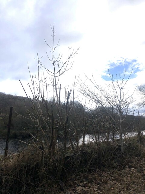
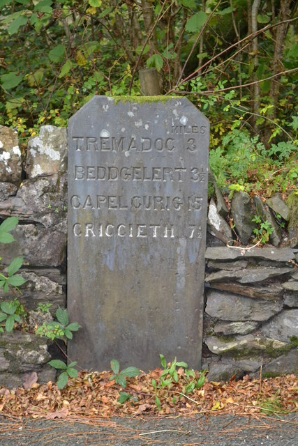
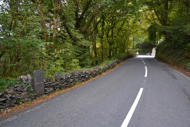
Ynys Fer-lâs Images

Images are sourced within 2km of 52.971424/-4.0912115 or Grid Reference SH5943. Thanks to Geograph Open Source API. All images are credited.

Afon Glaslyn
Afon Glaslyn
Waterfall Below Plas Oerddwr
Converted Outbuilding in Coed Oerddwr
The Path to Llys From Coed Oerddwr
Old Milestone by the A498, near Factory-Glaslyn, Dolbenmaen parish Carnarvon chamfered slate by the A498, in parish of Dolbenmaen (Gwynedd District), South of Cerrig-y-Rhwydwr, beside stone wall.

Inscription reads:-
...........MILES
TREMADOC 3
BEDDGELERT 3½
CAPEL CURIG 15
CRICCIETH 7½

Grade II listed by Cadw.
Reference Number: 21570 <span class="nowrap"><a title="https://cadwpublic-api.azurewebsites.net/reports/listedbuilding/FullReport?lang=&id=21570" rel="nofollow ugc noopener" href="https://cadwpublic-api.azurewebsites.net/reports/listedbuilding/FullReport?lang=&id=21570">Link</a><img style="margin-left:2px;" alt="External link" title="External link - shift click to open in new window" src="https://s1.geograph.org.uk/img/external.png" width="10" height="10"/></span>

Surveyed

Milestone Society National ID: CAE_TMBD03
Old Milestone by the A498, near Factory-Glaslyn, Dolbenmaen parish
Carnarvon chamfered slate by the A498, in parish of Dolbenmaen (Gwynedd District), South of Cerrig-y-Rhwydwr, beside stone wall. Inscription reads:- ...........MILES TREMADOC 3 BEDDGELERT 3½ CAPEL CURIG 15 CRICCIETH 7½ Grade II listed by Cadw. Reference Number: 21570 LinkExternal link Surveyed Milestone Society National ID: CAE_TMBD03
Afon Glaslyn south of Nantmor
Farmland in the Glaslyn valley
Old Milestone Old milestone on the A498 near to Prenteg, Gwynedd. For overall view see <a title="https://www.geograph.org.uk/photo/4775940" href="https://www.geograph.org.uk/photo/4775940">Link</a>
Old Milestone
Old milestone on the A498 near to Prenteg, Gwynedd. For overall view see Link
Tremadog 3 Old milestone on the A498 near to Prenteg, Gwynedd. For close up view see <a title="https://www.geograph.org.uk/photo/4775937" href="https://www.geograph.org.uk/photo/4775937">Link</a>
Tremadog 3
Old milestone on the A498 near to Prenteg, Gwynedd. For close up view see Link
The Welsh Highland Railway crosses the Nanmor river Cnicht can be seen in distance with its peak in the clouds
The Welsh Highland Railway crosses the Nanmor river
Cnicht can be seen in distance with its peak in the clouds
Running round at Hafod-y-llyn Locomotive 'Lyd' running around on the passing loop at Hafod-y-lynn. The section from here to Porthmadog is the only operational part of the Welsh Highland and Ffestiniog Railways this winter, construction and track renewals taking place on both railways. The loop at Hafod-y-llyn is provided for operational purposes and has no platforms.
Running round at Hafod-y-llyn
Locomotive 'Lyd' running around on the passing loop at Hafod-y-lynn. The section from here to Porthmadog is the only operational part of the Welsh Highland and Ffestiniog Railways this winter, construction and track renewals taking place on both railways. The loop at Hafod-y-llyn is provided for operational purposes and has no platforms.
Locomotive 'Lyd' running around its train at Hafod-y-llyn
'Lyd' approaching The locomotive is preparing to couple up to its train for the return journey from Hafod-y-llyn to Porthmadog on the Welsh Highland Railway.
'Lyd' approaching
The locomotive is preparing to couple up to its train for the return journey from Hafod-y-llyn to Porthmadog on the Welsh Highland Railway.
Track to Ty'n-y-celyn Running round the foot of Ynys Fawr, a former island outcrop on the Glaslyn levels.
Track to Ty'n-y-celyn
Running round the foot of Ynys Fawr, a former island outcrop on the Glaslyn levels.
Sheep pen, Ynys Fawr An old pen made from slabs of slate has been modified and extended using corrugated iron and anything else that came to hand. The slate probably came down from the quarries via the nearby Croesor Tramway. The route of the tramway here was later incorporated into the Welsh Highland Railway.
Sheep pen, Ynys Fawr
An old pen made from slabs of slate has been modified and extended using corrugated iron and anything else that came to hand. The slate probably came down from the quarries via the nearby Croesor Tramway. The route of the tramway here was later incorporated into the Welsh Highland Railway.
Flooded field near Nantmor The valley bottom is damp at the best of times, but Afon Glaslyn has been unable to cope with the recent amount of rain.
Flooded field near Nantmor
The valley bottom is damp at the best of times, but Afon Glaslyn has been unable to cope with the recent amount of rain.
Craig y Gelli An impressive wooded hillside viewed from the valley bottom on the Welsh Highland Railway.
Craig y Gelli
An impressive wooded hillside viewed from the valley bottom on the Welsh Highland Railway.
Old Milestone by the A498, near Factory-Glaslyn, Dolbenmaen parish Carnarvon chamfered slate by the A498, in parish of Dolbenmaen (Gwynedd District), South of Cerrig-y-Rhwydwr, beside stone wall.

Inscription reads:-
...........MILES
TREMADOC 3
BEDDGELERT 3½
CAPEL CURIG 15
CRICCIETH 7½

Grade II listed by Cadw.
Reference Number: 21570 <span class="nowrap"><a title="https://cadwpublic-api.azurewebsites.net/reports/listedbuilding/FullReport?lang=&id=21570" rel="nofollow ugc noopener" href="https://cadwpublic-api.azurewebsites.net/reports/listedbuilding/FullReport?lang=&id=21570">Link</a><img style="margin-left:2px;" alt="External link" title="External link - shift click to open in new window" src="https://s1.geograph.org.uk/img/external.png" width="10" height="10"/></span>

Surveyed

Milestone Society National ID: CAE_TMBD03
Old Milestone by the A498, near Factory-Glaslyn, Dolbenmaen parish
Carnarvon chamfered slate by the A498, in parish of Dolbenmaen (Gwynedd District), South of Cerrig-y-Rhwydwr, beside stone wall. Inscription reads:- ...........MILES TREMADOC 3 BEDDGELERT 3½ CAPEL CURIG 15 CRICCIETH 7½ Grade II listed by Cadw. Reference Number: 21570 LinkExternal link Surveyed Milestone Society National ID: CAE_TMBD03
Show me another place!

Ynys Fer-lâs is located at Grid Ref: SH5943 (Lat: 52.971424, Lng: -4.0912115)

Unitary Authority: Gwynedd

Police Authority: North Wales

What 3 Words

///curtail.preheated.broom. Near Penrhyndeudraeth, Gwynedd

Nearby Locations

Beddgelert Ynys Fer-lâs

Related Wikis

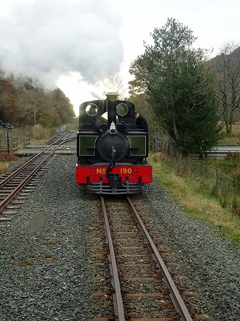
Hafod y Llyn railway station

Hafod y Llyn is a halt in North Wales on the Welsh Highland Railway, located between Beddgelert and Pont Croesor. It had been a halt, with a siding for...

Prenteg

Prenteg is a hamlet that lies 3 miles (4.8 km) from Porthmadog, Wales, between Tremadog and Beddgelert. == See also == The July 2010 wind storms in Global...

Glaslyn Osprey Project

The Glaslyn Osprey Project is located in the Glaslyn Valley at Pont Croesor near Porthmadog in Gwynedd, north-west Wales. The project has supported ospreys...

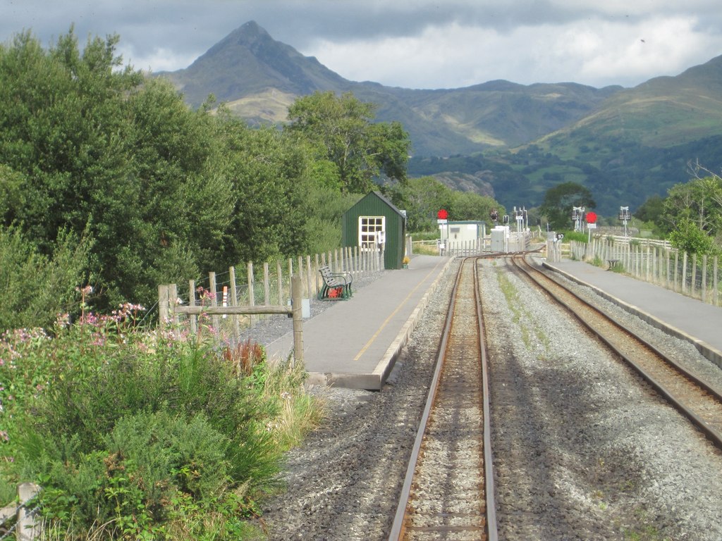
Pont Croesor railway station

Pont Croesor is a railway halt in Wales, on the Welsh Highland Railway, which runs through the Snowdonia National Park from Caernarfon to Porthmadog. It...

Nearby Amenities

Located within 500m of 52.971424,-4.0912115
Ynys Ferlas
Ele: 47
Natural: peak
Lat/Long: 52.9712908/-4.0911792
Railway: level_crossing
Lat/Long: 52.9707158/-4.0849128
Railway: level_crossing
Lat/Long: 52.9751849/-4.0915832
The data included in this document is from www.openstreetmap.org. The data is made available under ODbL.

Have you been to Ynys Fer-lâs?

Leave your review of Ynys Fer-lâs below (or comments, questions and feedback).