Blackside
Hill, Mountain in Ayrshire
Scotland
Blackside

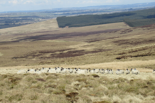
Blackside is a prominent hill located in the region of Ayrshire, Scotland. Standing at an elevation of approximately 609 meters (2,000 feet), it is a notable landmark in the area. Situated in the southern part of Ayrshire, Blackside offers breathtaking views of the surrounding countryside and is a popular destination for hikers and nature enthusiasts.
The hill is characterized by its rugged terrain, covered in a mixture of heather, grasses, and scattered rocky outcrops. Its steep slopes provide a challenging but rewarding climb for outdoor enthusiasts. The summit of Blackside offers panoramic vistas of the rolling hills, moorland, and nearby bodies of water, such as Loch Doon.
Blackside is part of the Galloway Forest Park, which is the largest forest park in the United Kingdom. This designation ensures that the area is protected and preserved for its natural beauty and ecological significance. The park offers various trails and paths for visitors to explore, including those leading to the summit of Blackside.
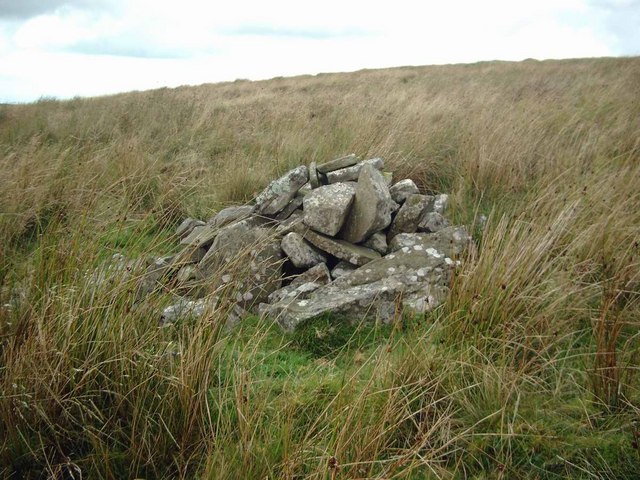
In addition to its natural beauty, Blackside also holds historical significance. The hill is believed to have been a site of ancient settlements, with remnants of Iron Age structures discovered in the vicinity. These archaeological findings provide insights into the early human activity in the area.
Overall, Blackside in Ayrshire is a captivating hill that offers a combination of stunning landscapes, challenging hikes, and historical intrigue. It attracts visitors from near and far, who come to immerse themselves in the beauty of this Scottish gem.
If you have any feedback on the listing, please let us know in the comments section below.
Blackside Images
Images are sourced within 2km of 55.551371/-4.2266684 or Grid Reference NS5930. Thanks to Geograph Open Source API. All images are credited.


Blackside is located at Grid Ref: NS5930 (Lat: 55.551371, Lng: -4.2266684)
Unitary Authority: East Ayrshire
Police Authority: Ayrshire
What 3 Words
///promotion.thus.mixes. Near Darvel, East Ayrshire
Nearby Locations
Related Wikis

Garpel Linn
Garpel Linn is a waterfall of Scotland. == See also == Waterfalls of Scotland == References ==
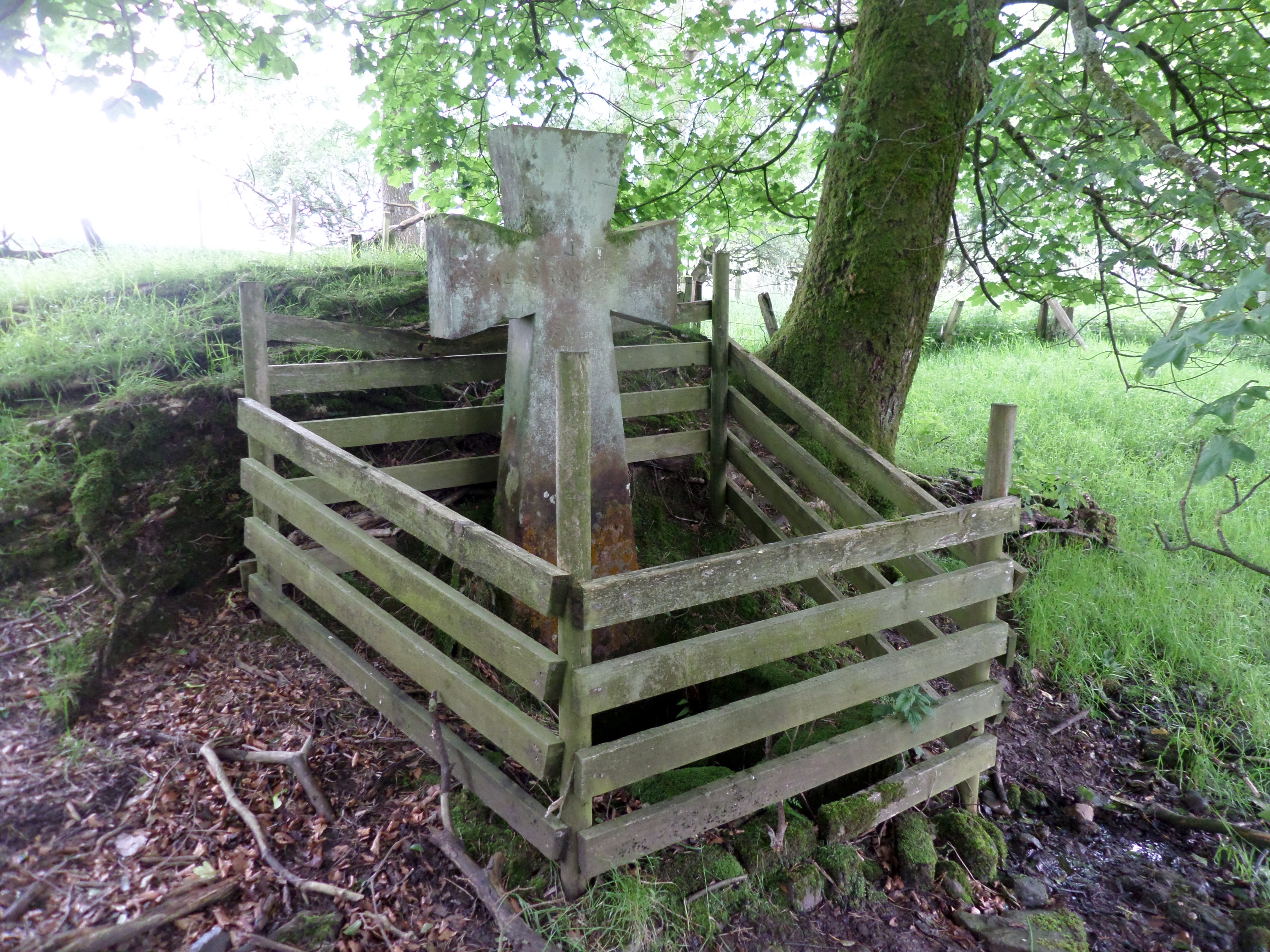
Lady's Well, Auchmannoch
The Lady's Well is a natural spring surmounted by a large cross that stands beside the Stra Burn Ford (NS254630) near Auchmannoch House in the Parish of...
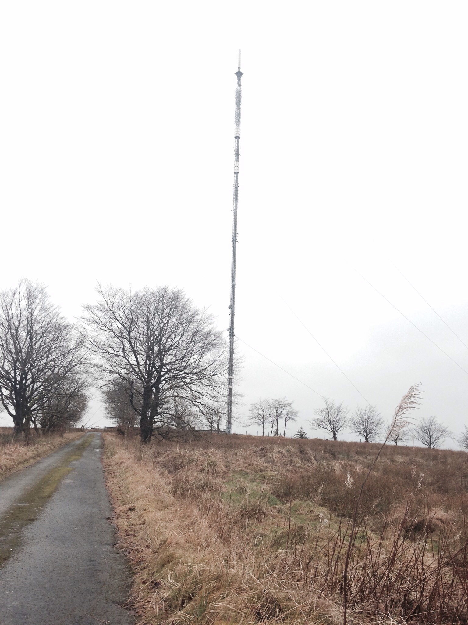
Darvel transmitting station
Darvel transmitting station is a broadcasting and telecommunications facility located near Darvel, East Ayrshire, Scotland (grid reference NS5567234132...

Greenock Water
Greenock Water is a river in East Ayrshire, Scotland. It flows out of the Dippal Burn, about 2 miles south of Dungavel Hill. A tributary of the River Ayr...

Sorn, East Ayrshire
Sorn (Scottish Gaelic: Sorn, meaning a kiln) is a small village in East Ayrshire, Scotland. It is situated on the River Ayr. It has a population of roughly...

Sorn Castle
Sorn Castle is located by the River Ayr just outside the village of Sorn in East Ayrshire, Scotland. The castle comprises a medieval tower house, which...
Loudounhill railway station
Loudounhill (NS 60268 37191) was a railway station on the Darvel and Strathaven Railway serving a rural area that included the landmark of Loudoun Hill...

Kilmarnock and Loudoun (UK Parliament constituency)
Kilmarnock and Loudoun is a county constituency of the House of Commons of the Parliament of the United Kingdom. It elects one Member of Parliament (MP...
Nearby Amenities
Located within 500m of 55.551371,-4.2266684Have you been to Blackside?
Leave your review of Blackside below (or comments, questions and feedback).