Back Hill of Glenlee
Hill, Mountain in Kirkcudbrightshire
Scotland
Back Hill of Glenlee

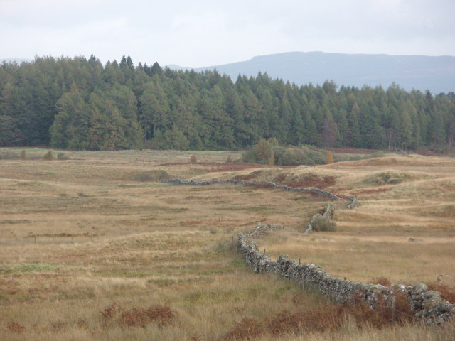
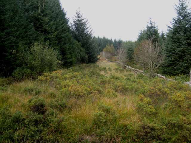
Back Hill of Glenlee is a prominent hill located in the region of Kirkcudbrightshire in Scotland. Standing at an impressive height of 472 meters (1,549 feet), it offers stunning views of the surrounding countryside and is a popular destination for hikers and outdoor enthusiasts.
The hill is characterized by its rugged terrain, with steep slopes and rocky outcrops adding to its challenging nature. The summit of Back Hill of Glenlee is marked by a cairn, providing a sense of accomplishment for those who make the trek to the top.
The hill is surrounded by rolling green hills and valleys, creating a picturesque backdrop for visitors to enjoy. Wildlife such as deer, birds, and other fauna can often be spotted in the area, adding to the natural beauty of the landscape.
Visitors to Back Hill of Glenlee can expect a rewarding and invigorating hike, with the opportunity to connect with nature and take in breathtaking views of the Scottish countryside. Whether you're a seasoned hiker or just looking for a peaceful retreat in nature, Back Hill of Glenlee is a must-visit destination in Kirkcudbrightshire.
If you have any feedback on the listing, please let us know in the comments section below.
Back Hill of Glenlee Images
Images are sourced within 2km of 55.092993/-4.2274068 or Grid Reference NX5779. Thanks to Geograph Open Source API. All images are credited.


Back Hill of Glenlee is located at Grid Ref: NX5779 (Lat: 55.092993, Lng: -4.2274068)
Unitary Authority: Dumfries and Galloway
Police Authority: Dumfries and Galloway
What 3 Words
///grazed.rocket.carefully. Near Newton Stewart, Dumfries & Galloway
Nearby Locations
Related Wikis

St John's Town of Dalry
St John's Town of Dalry (Scottish Gaelic: Clachan Eòin), usually referred to simply as Dalry (/dæl'raɪ/ / 'dal-RYE'), is a village in Dumfries and Galloway...

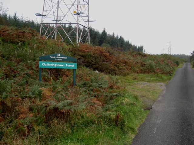
Clatteringshaws Loch
Clatteringshaws Loch is a freshwater reservoir in the historical county of The Stewartry of Kirkcudbright in Dumfries and Galloway, Scotland. It was created...

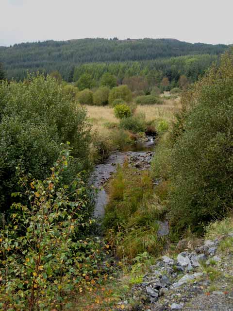
Polharrow Burn
Polharrow Burn is a small watercourse in Dumfries and Galloway, Scotland, in the historic county of Kirkcudbrightshire. It rises in Loch Harrow and flows...

Earlstoun Castle
Earlstoun Castle, sometimes spelled Earlston Castle, is a derelict tower house near St John's Town of Dalry in Dumfries and Galloway, Scotland. Built in...
Nearby Amenities
Located within 500m of 55.092993,-4.2274068Have you been to Back Hill of Glenlee?
Leave your review of Back Hill of Glenlee below (or comments, questions and feedback).