Camp Hill
Hill, Mountain in Renfrewshire
Scotland
Camp Hill

Camp Hill is a prominent hill located in Renfrewshire, Scotland. Situated near the town of Johnstone, it forms part of the wider Southern Uplands range. Rising to an elevation of approximately 182 meters (597 feet), Camp Hill offers stunning panoramic views of the surrounding countryside.
The hill is characterized by its gentle slopes, covered in lush green grass and scattered with a variety of wildflowers. Rich in biodiversity, it provides a natural habitat for a diverse range of animal and plant species. Visitors to Camp Hill may be lucky enough to spot a variety of bird species, including kestrels, buzzards, and even the occasional peregrine falcon.
Camp Hill is a popular destination for outdoor enthusiasts and nature lovers. It offers numerous walking trails and paths, allowing visitors to explore its natural beauty at their own pace. The hill's elevated position provides a fantastic vantage point, offering breathtaking views of the surrounding landscape, including the nearby River Gryffe and the rolling hills of Renfrewshire.
Additionally, Camp Hill holds historical significance, with evidence of ancient settlements and fortifications found in the area. The hill's strategic location made it an important site for military purposes, with remnants of defensive structures still visible today.
Overall, Camp Hill in Renfrewshire is a picturesque and historically significant natural landmark, offering visitors a tranquil and scenic environment to enjoy nature and take in the stunning views of the surrounding countryside.
If you have any feedback on the listing, please let us know in the comments section below.
Camp Hill Images
Images are sourced within 2km of 55.830872/-4.2711548 or Grid Reference NS5762. Thanks to Geograph Open Source API. All images are credited.


Camp Hill is located at Grid Ref: NS5762 (Lat: 55.830872, Lng: -4.2711548)
Unitary Authority: City of Glasgow
Police Authority: Greater Glasgow
What 3 Words
///mostly.joins.curiosity. Near Giffnock, East Renfrewshire
Nearby Locations
Related Wikis
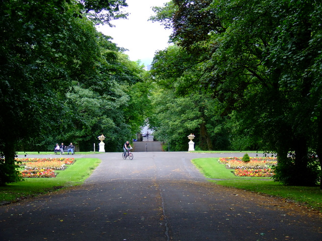
Queen's Park, Glasgow
Queen's Park (Scottish Gaelic: Pàirc na Banrìghinn, Scots: Queen's Pairk) is a park situated on the south side of the city of Glasgow, Scotland, between...
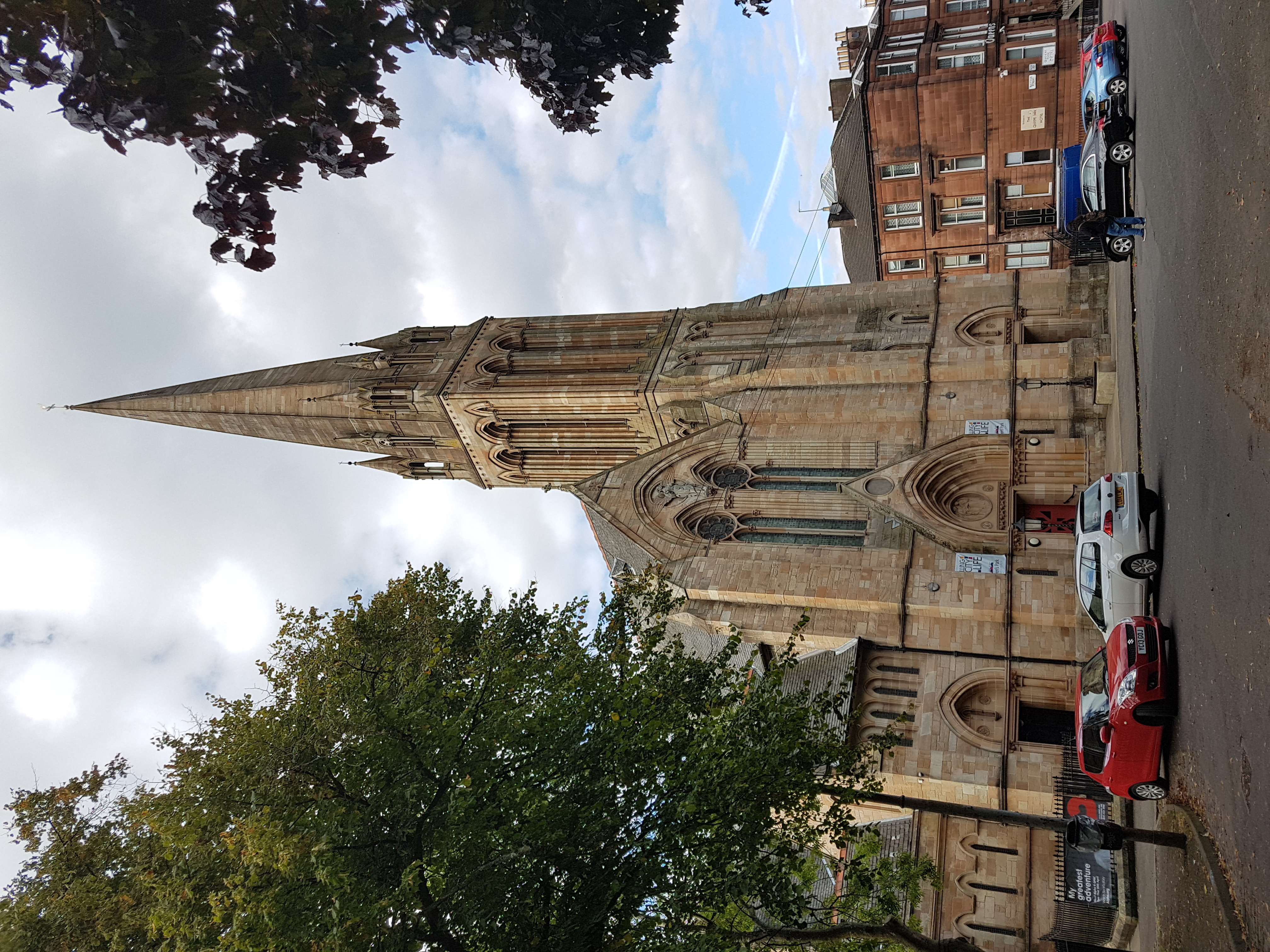
Camphill Queen's Park Baptist Church
Camphill Queen's Park Baptist Church is a 19th-century church building in the south-side of Glasgow, immediately opposite Queen's Park. It was built in...

Battle of Langside
The Battle of Langside was fought on 13 May 1568 between forces loyal to Mary, Queen of Scots, and forces acting in the name of her infant son James VI...
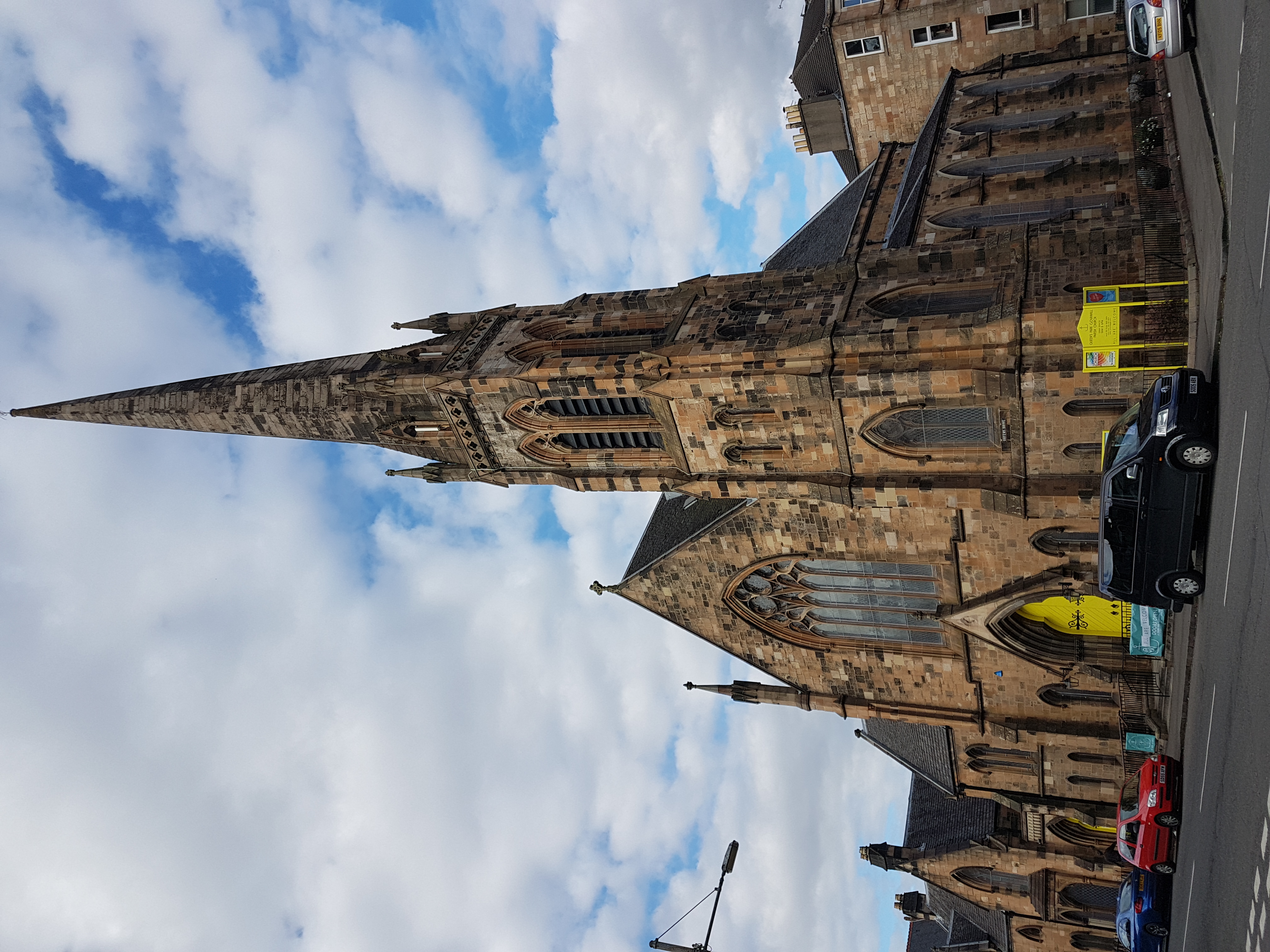
Queen's Park Govanhill Parish Church
Queen's Park Govanhill Parish Church is a 19th-century Parish church of the Church of Scotland located in the south side of Glasgow, near Queen's Park...
Nearby Amenities
Located within 500m of 55.830872,-4.2711548Have you been to Camp Hill?
Leave your review of Camp Hill below (or comments, questions and feedback).