Beinn Leabhainn

Hill, Mountain in Perthshire

Scotland

Beinn Leabhainn

The Rob Roy Way Section of the path as it rises up through the forestry above Glen Ogle.
The Rob Roy Way Credit: Iain Russell

The requested URL returned error: 429 Too Many Requests

If you have any feedback on the listing, please let us know in the comments section below.

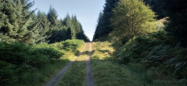
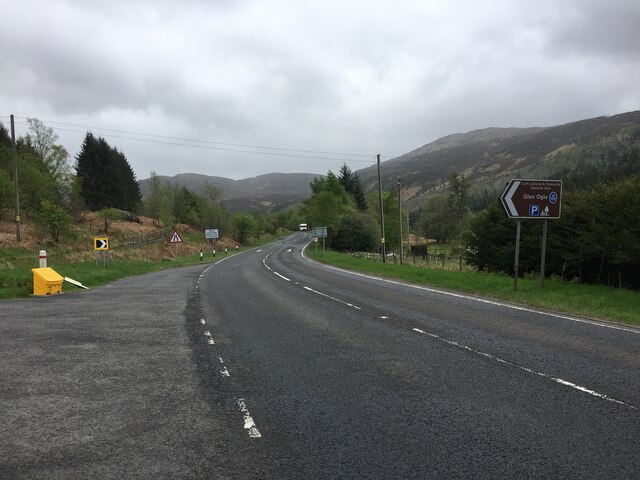
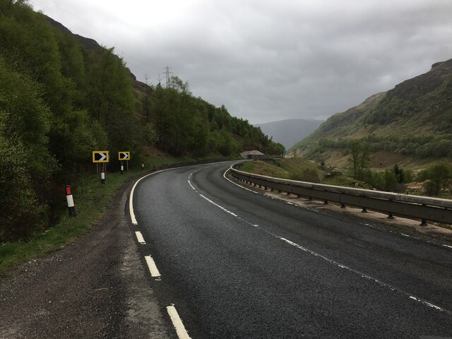
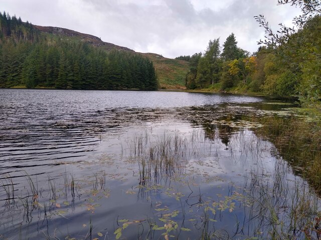
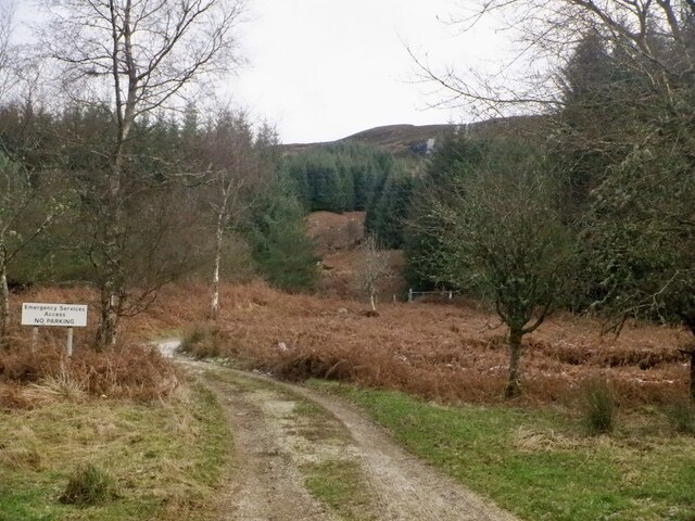
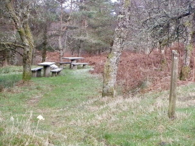
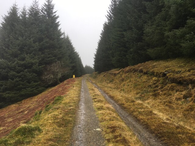
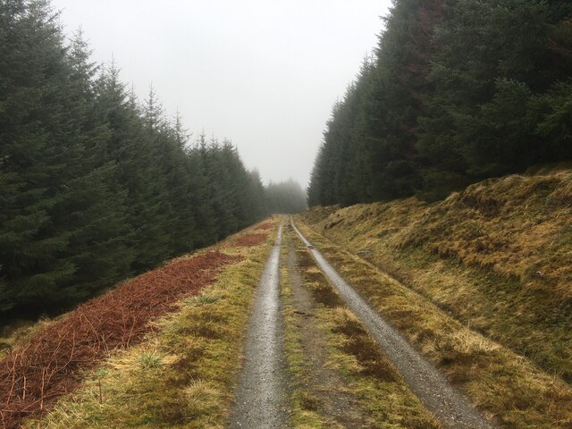
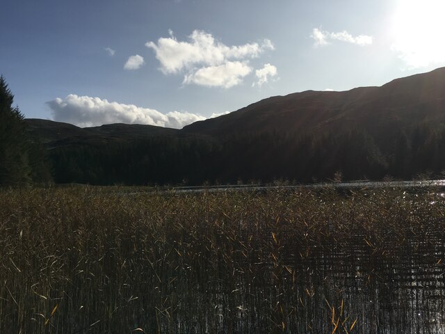
Beinn Leabhainn Images

Images are sourced within 2km of 56.426037/-4.3105942 or Grid Reference NN5728. Thanks to Geograph Open Source API. All images are credited.

The Rob Roy Way Section of the path as it rises up through the forestry above Glen Ogle.
The Rob Roy Way
Section of the path as it rises up through the forestry above Glen Ogle.
A85, Glen Ogle
A85, Glen Ogle
A85, Glen Ogle
A85, Glen Ogle
Forest escape track by the Achmore Burn
Roots, what are they good for? This massive tree has been uprooted, at the southern shore of Lochan Leirig Cheile.
Roots, what are they good for?
This massive tree has been uprooted, at the southern shore of Lochan Leirig Cheile.
Shallow waters The northern end of Lochan Lairig Cheile.
Shallow waters
The northern end of Lochan Lairig Cheile.
Footbridge across The former railway line, and the old footbridge, have created this beautiful artificial ravine walled by rocks, fern, and moss.
Footbridge across
The former railway line, and the old footbridge, have created this beautiful artificial ravine walled by rocks, fern, and moss.
Track, Head of Glen Ogle The track serves a mast on the slopes of Meall Buidhe. There is a frozen waterfall in the background.
Track, Head of Glen Ogle
The track serves a mast on the slopes of Meall Buidhe. There is a frozen waterfall in the background.
Picnic tables, Head of Glen Ogle
Forestry road in Acharn forest
A85 towards Lochearnhead
Lochan Lairig Cheile
Lochan Lairig Cheile It appears to be silting up.
Lochan Lairig Cheile
It appears to be silting up.
Glen Ogle viaduct Looking through one of the twelve arches on the disused Category B Listed <span class="nowrap"><a title="http://portal.historic-scotland.gov.uk/hes/web/f?p=PORTAL:DESIGNATION:::::DES:LB4141" rel="nofollow ugc noopener" href="http://portal.historic-scotland.gov.uk/hes/web/f?p=PORTAL:DESIGNATION:::::DES:LB4141">Link</a><img style="margin-left:2px;" alt="External link" title="External link - shift click to open in new window" src="https://s1.geograph.org.uk/img/external.png" width="10" height="10"/></span> railway viaduct to Glen Ogle and the A85 road.
Glen Ogle viaduct
Looking through one of the twelve arches on the disused Category B Listed LinkExternal link railway viaduct to Glen Ogle and the A85 road.
Rob Roy Way nearing the pass, Glen Ogle On the former railway, now a cyclepath, with the A85 to the right.
Rob Roy Way nearing the pass, Glen Ogle
On the former railway, now a cyclepath, with the A85 to the right.
Bridge over the old railway, Glen Ogle Access to a plantation W of the line at the summit of the climb from Lochearnhead.
Bridge over the old railway, Glen Ogle
Access to a plantation W of the line at the summit of the climb from Lochearnhead.
Show me another place!

Beinn Leabhainn is located at Grid Ref: NN5728 (Lat: 56.426037, Lng: -4.3105942)

Unitary Authority: Stirling

Police Authority: Forth Valley

What 3 Words

///angel.placidly.hours. Near Pubil, Perth & Kinross

Nearby Locations

Beinn Leabhainn

Related Wikis

Glenoglehead railway station

Glenoglehead was a railway station located at the head of Glen Ogle, Stirling district, Scotland. It was situated on a remote mountainside, some 3 miles...

Glen Ogle

Glen Ogle (Scottish Gaelic: Gleann Ogail) extends 7 miles north westwards from Lochearnhead to Lix Toll, where it opens into Glen Dochart. The Ogle Burn...

Rob Roy Way

The Rob Roy Way is a Scottish long distance footpath that runs from Drymen in Stirling to Pitlochry in Perth and Kinross. The path was created in 2002...

Inchbuie

Inchbuie (Scottish Gaelic: Innis Bhuidhe, 'yellow island') is an island of the River Dochart, near Killin. A bridge links it with both riverbanks, just...

Nearby Amenities

Located within 500m of 56.426037,-4.3105942
Beinn Leabhain
Ele: 704
Natural: peak
Lat/Long: 56.4267696/-4.3115391
The data included in this document is from www.openstreetmap.org. The data is made available under ODbL.

Have you been to Beinn Leabhainn?

Leave your review of Beinn Leabhainn below (or comments, questions and feedback).