Benmeal
Hill, Mountain in Kirkcudbrightshire
Scotland
Benmeal

Benmeal is a prominent hill located in the historic county of Kirkcudbrightshire, situated in the Dumfries and Galloway region of southwestern Scotland. With an elevation of approximately 280 meters (920 feet), it offers stunning panoramic views of the surrounding landscape.
Situated about 5 kilometers (3 miles) to the northwest of the town of Gatehouse of Fleet, Benmeal is part of the Galloway Hills range and is easily accessible to hikers and nature enthusiasts. The hill's distinct shape and rocky outcrops make it an appealing destination for outdoor activities such as hillwalking and rock climbing.
The area surrounding Benmeal is characterized by a diverse range of flora and fauna, with heather-covered moorland and scattered woodlands. This natural habitat supports a variety of wildlife including red deer, mountain hares, and various bird species, making it an ideal spot for birdwatching and wildlife photography.
Visitors to Benmeal can enjoy a range of walking routes, with options to explore the hill itself or venture further afield to surrounding peaks such as Cairnsmore of Fleet. The hill provides an excellent vantage point to admire the picturesque Galloway Forest Park, which is known for its dark skies and is designated as a Dark Sky Park.
Overall, Benmeal offers a picturesque and accessible outdoor experience for those seeking to immerse themselves in the natural beauty of Kirkcudbrightshire. Whether it's a leisurely walk or a more adventurous climb, this hill provides a captivating experience for all who visit.
If you have any feedback on the listing, please let us know in the comments section below.
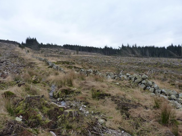
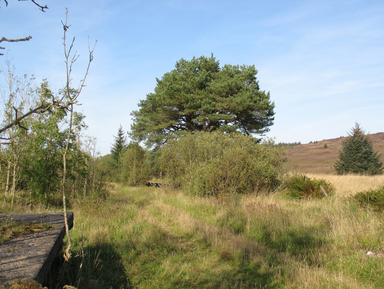
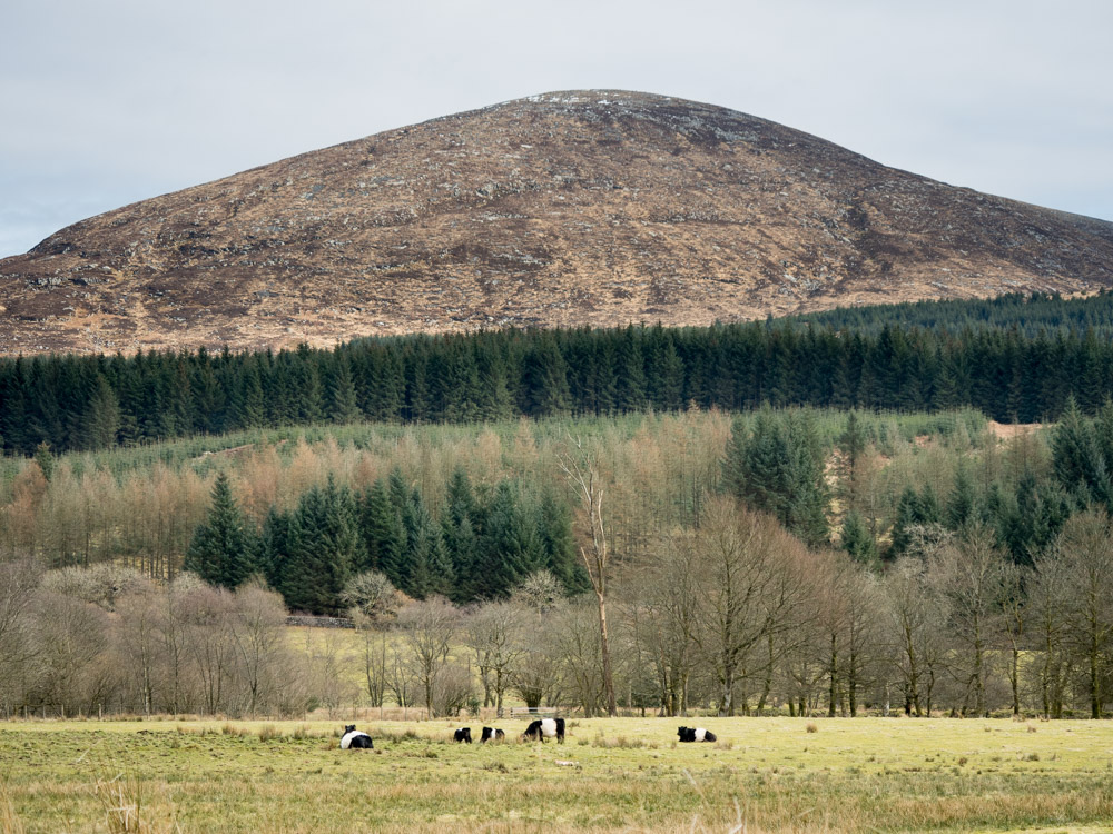
Benmeal Images
Images are sourced within 2km of 54.991955/-4.2400639 or Grid Reference NX5668. Thanks to Geograph Open Source API. All images are credited.


Benmeal is located at Grid Ref: NX5668 (Lat: 54.991955, Lng: -4.2400639)
Unitary Authority: Dumfries and Galloway
Police Authority: Dumfries and Galloway
What 3 Words
///gullible.actors.popular. Near Newton Stewart, Dumfries & Galloway
Nearby Locations
Related Wikis

Skerrow
Skerrow was a burgh in Dumfries and Galloway, Scotland. Loch Skerrow Halt railway station, on the Portpatrick and Wigtownshire Joint Railway, served Skerrow...
Loch Skerrow Halt railway station
Loch Skerrow Halt railway station served the burgh of Skerrow, Dumfries and Galloway, Scotland on the Portpatrick and Wigtownshire Joint Railway. ��2...

Gatehouse of Fleet railway station
Gatehouse of Fleet railway station served the town of Gatehouse of Fleet, Dumfries and Galloway, Scotland from 1861 to 1965 on the Portpatrick and Wigtownshire...
Cairnsmore of Fleet
Cairnsmore of Fleet is an isolated mountain in the Southern Uplands of Scotland. The mountain forms an unafforested granite massif, whose highest point...
Nearby Amenities
Located within 500m of 54.991955,-4.2400639Have you been to Benmeal?
Leave your review of Benmeal below (or comments, questions and feedback).