Pley Moss

Hill, Mountain in Ayrshire

Scotland

Pley Moss

Downstream view, Pogiven Burn A view from Pogiven Bridge, which has been rebuilt and strengthened, presumably for wind farm construction traffic.
Downstream view, Pogiven Burn Credit: Alan O'Dowd

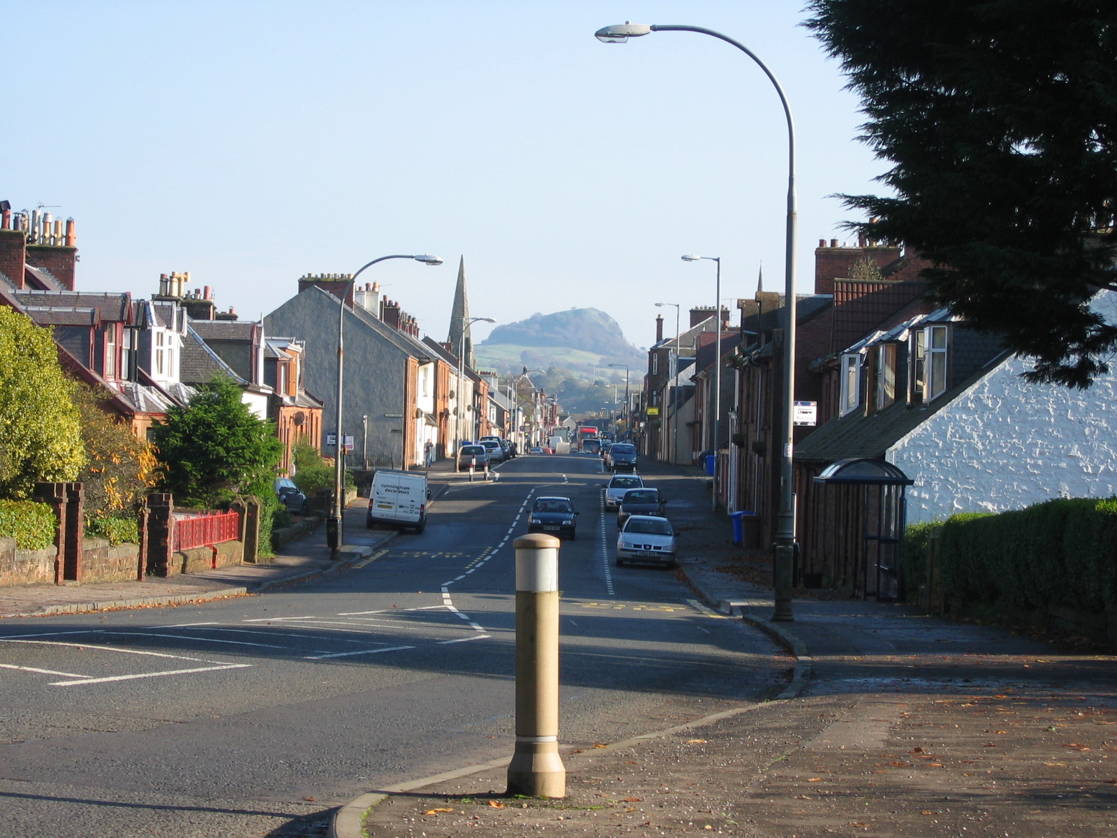
Pley Moss is a prominent hill located in Ayrshire, a county in southwestern Scotland. Situated near the village of Straiton, it is part of the Carrick Hills range and stands at an elevation of approximately 521 meters (1,710 feet). The hill is renowned for its rugged and picturesque landscape, attracting nature enthusiasts, hikers, and photographers alike.

Pley Moss offers stunning panoramic views of the surrounding countryside, including the nearby Galloway Forest Park and the picturesque villages of Straiton and Dalmellington. Its position within the Carrick Hills provides visitors with a unique opportunity to observe the diverse flora and fauna that flourish in the region. The hill is covered with heather and grasses, providing a habitat for various bird species, such as red grouse and skylarks.

The ascent to the summit of Pley Moss is relatively challenging, with steep slopes and uneven terrain. However, the effort is rewarded with breathtaking vistas that stretch across the rolling hills and valleys, particularly during clear weather conditions. The hill attracts both experienced climbers and casual walkers looking to explore the natural beauty of the area.

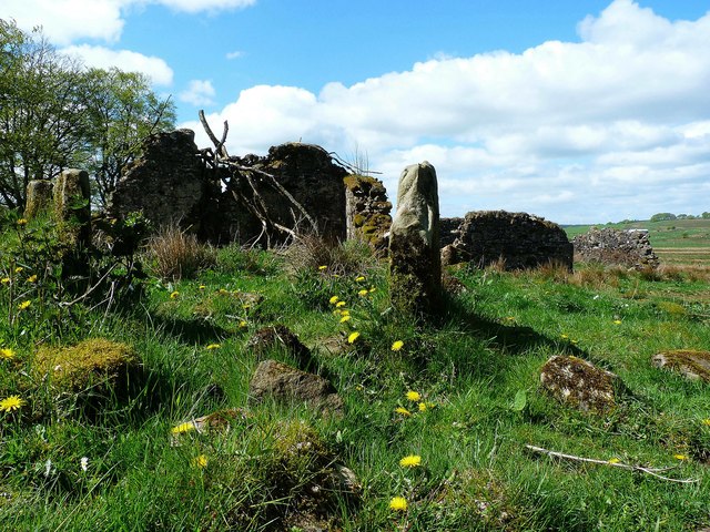
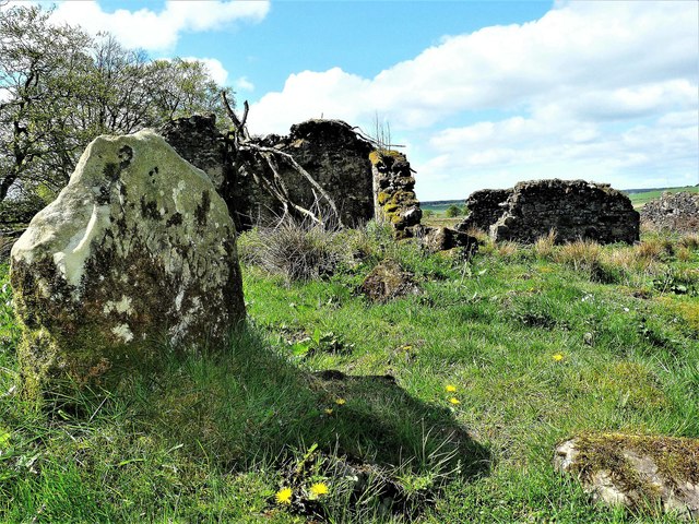
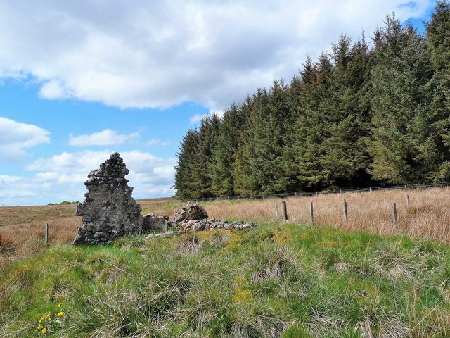
Pley Moss holds historical significance as well, with remnants of ancient settlements and burial sites discovered in its vicinity. These archaeological findings contribute to the rich heritage of the region, providing valuable insights into the lives of past inhabitants.

Overall, Pley Moss in Ayrshire offers a captivating blend of natural beauty, challenging terrain, and historical significance, making it a popular destination for outdoor enthusiasts and those seeking to immerse themselves in Scotland's scenic landscapes.

If you have any feedback on the listing, please let us know in the comments section below.
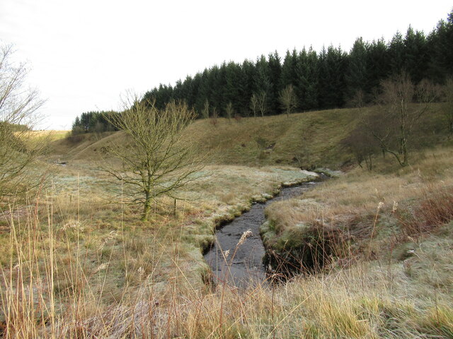
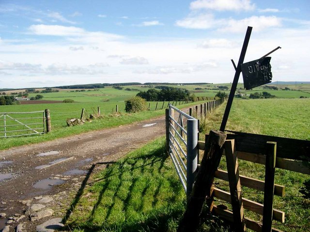
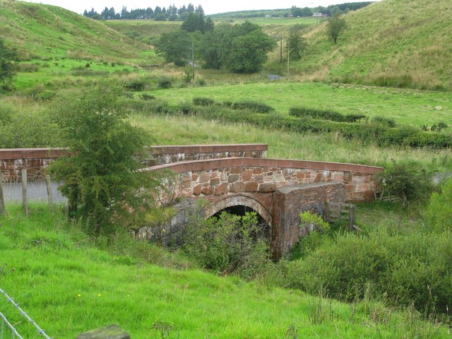
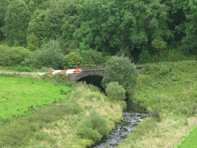
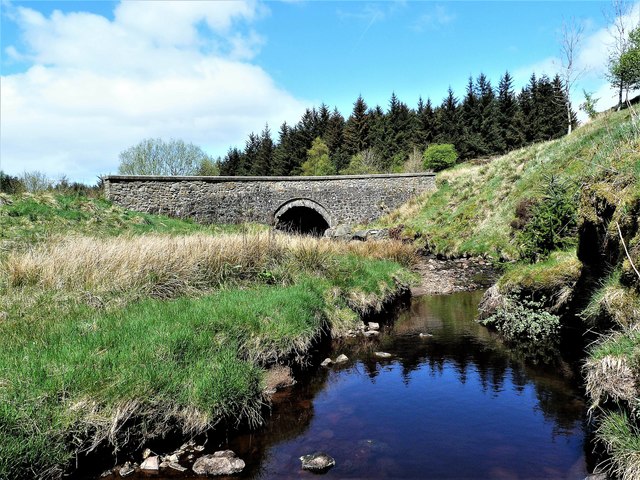
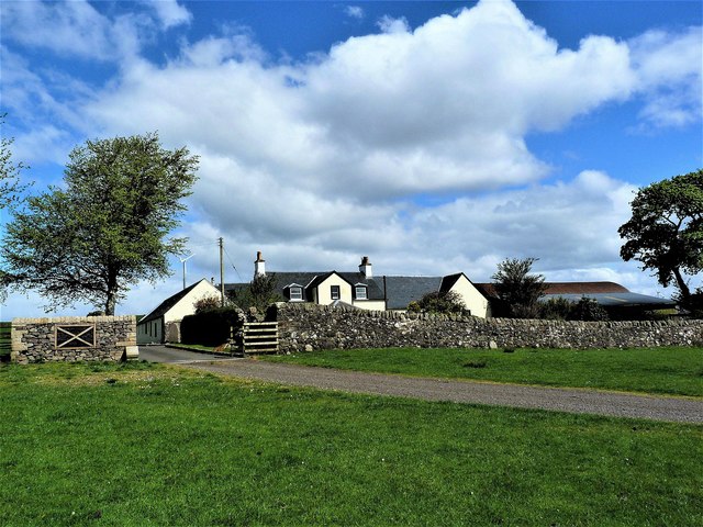
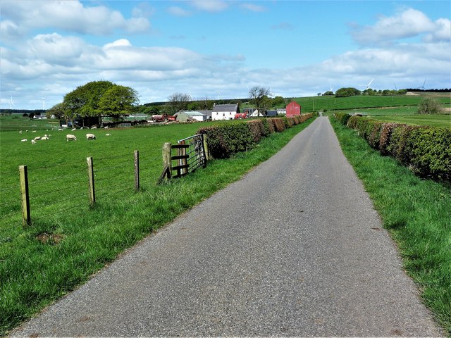
Pley Moss Images

Images are sourced within 2km of 55.647057/-4.2774096 or Grid Reference NS5641. Thanks to Geograph Open Source API. All images are credited.

Downstream view, Pogiven Burn A view from Pogiven Bridge, which has been rebuilt and strengthened, presumably for wind farm construction traffic.
Downstream view, Pogiven Burn
A view from Pogiven Bridge, which has been rebuilt and strengthened, presumably for wind farm construction traffic.
Whitelee wind farm from the air Whitelee Windfarm is the UK's largest onshore windfarm. It is located on Eaglesham Moor just 20 minutes south of central Glasgow. The windfarm has 215 turbines which can generate 539MW of electricity, enough to power over 300,000 homes.

You can access the windfarm for free and experience the wind turbines up close with over 130kms of trails to explore.  The Visitor Centre <span class="nowrap"><a title="https://www.scottishpower.co.uk/whitelee/visitor-centre" rel="nofollow ugc noopener" href="https://www.scottishpower.co.uk/whitelee/visitor-centre">Link</a><img style="margin-left:2px;" alt="External link" title="External link - shift click to open in new window" src="https://s1.geograph.org.uk/img/external.png" width="10" height="10"/></span> is also free and has an interactive exhibition and a Cafe to relax after the long walk on the windfarm.
Whitelee wind farm from the air
Whitelee Windfarm is the UK's largest onshore windfarm. It is located on Eaglesham Moor just 20 minutes south of central Glasgow. The windfarm has 215 turbines which can generate 539MW of electricity, enough to power over 300,000 homes. You can access the windfarm for free and experience the wind turbines up close with over 130kms of trails to explore. The Visitor Centre LinkExternal link is also free and has an interactive exhibition and a Cafe to relax after the long walk on the windfarm.
The track to High Carlingcraig Sign could do with a touch of attention.
The track to High Carlingcraig
Sign could do with a touch of attention.
Mucks Bridge, north of Darvel Mucks Bridge carries a minor road across Mucks Water, a tributary of Glen Water which in turn is a tributary of the River Irvine.
Mucks Bridge, north of Darvel
Mucks Bridge carries a minor road across Mucks Water, a tributary of Glen Water which in turn is a tributary of the River Irvine.
Braidley Bridge, north of Darvel Braidley Bridge carries a minor road across Glen Water, a tributary of the River Irvine.
Braidley Bridge, north of Darvel
Braidley Bridge carries a minor road across Glen Water, a tributary of the River Irvine.
Whitelee Forest
Whitelee Forest
Pogiven Bridge Pogiven Bridge and Pogiven Burn.
Pogiven Bridge
Pogiven Bridge and Pogiven Burn.
Lochfield Farm - Birthplace of Alexander Fleming Alexander Fleming was born on 6th August 1881 at Lochfield Farm.

Alexander Fleming <span class="nowrap"><a title="https://en.wikipedia.org/wiki/Alexander_Fleming" rel="nofollow ugc noopener" href="https://en.wikipedia.org/wiki/Alexander_Fleming">Link</a><img style="margin-left:2px;" alt="External link" title="External link - shift click to open in new window" src="https://s1.geograph.org.uk/img/external.png" width="10" height="10"/></span>
Lochfield Farm - Birthplace of Alexander Fleming
Alexander Fleming was born on 6th August 1881 at Lochfield Farm. Alexander Fleming LinkExternal link
Laigh Bradley Farm - Darvel
Mossend Farm The ruins of Mossend Farm
Mossend Farm
The ruins of Mossend Farm
Mossend Farm The ruins of Mossend Farm
Mossend Farm
The ruins of Mossend Farm
Gateside Farm - Darvel
Lochfield Farm - Birthplace of Alexander Fleming Alexander Fleming was born on 6th August 1881 at Lochfield Farm.

Alexander Fleming <span class="nowrap"><a title="https://en.wikipedia.org/wiki/Alexander_Fleming" rel="nofollow ugc noopener" href="https://en.wikipedia.org/wiki/Alexander_Fleming">Link</a><img style="margin-left:2px;" alt="External link" title="External link - shift click to open in new window" src="https://s1.geograph.org.uk/img/external.png" width="10" height="10"/></span>
Lochfield Farm - Birthplace of Alexander Fleming
Alexander Fleming was born on 6th August 1881 at Lochfield Farm. Alexander Fleming LinkExternal link
Whitelee Forest Ruin at the edge of Whitelee Forest
Whitelee Forest
Ruin at the edge of Whitelee Forest
Feoch Farm - Darvel
Feoch Farm - Darvel
The Glen Water above Braidley Bridge A tributary of the River Irvine, the Glen Water rises on the high ground north of Darvel.
The Glen Water above Braidley Bridge
A tributary of the River Irvine, the Glen Water rises on the high ground north of Darvel.
The track to High Overmuir Compare with <a title="https://www.geograph.org.uk/photo/1345161" href="https://www.geograph.org.uk/photo/1345161">Link</a> taken 12 years earlier.

High Overmuir is now surrounded by the Whitelee Wind farm and lies derelict.
The track to High Overmuir
Compare with Link taken 12 years earlier. High Overmuir is now surrounded by the Whitelee Wind farm and lies derelict.
Show me another place!

Pley Moss is located at Grid Ref: NS5641 (Lat: 55.647057, Lng: -4.2774096)

Unitary Authority: East Ayrshire

Police Authority: Ayrshire

What 3 Words

///wagers.hardback.pays. Near Darvel, East Ayrshire

Nearby Locations

Pley Moss Pley Moss

Related Wikis

Whitelee Wind Farm

Whitelee Wind Farm is a windfarm on the Eaglesham moor in Scotland. The main visitor centre is located in East Renfrewshire, but the majority of turbines...

Darvel

Darvel (Scots: Dairvel, Scottish Gaelic: Darbhail) is a small town in East Ayrshire, Scotland. It is at the eastern end of the Irvine Valley and is sometimes...

Darvel Music Festival

Darvel Music Festival is a music festival that has been held in the town of Darvel, East Ayrshire, Ayrshire, Scotland, since 2002. The Darvel Music Festival...

Darvel Town Hall

Darvel Town Hall is a municipal building in West Main Street, Darvel, East Ayrshire, Scotland. The structure, which is used as a library and a community...

Nearby Amenities

Located within 500m of 55.647057,-4.2774096
Power: pole
Lat/Long: 55.6469434/-4.2844263
Power: pole
Lat/Long: 55.6473973/-4.2835115
Power: pole
Lat/Long: 55.6478841/-4.2825697
Power: pole
Lat/Long: 55.6483979/-4.2815737
Power: pole
Lat/Long: 55.6488835/-4.2806381
Power: pole
Lat/Long: 55.649369/-4.2797005
Power: pole
Lat/Long: 55.6499263/-4.2786461
Power: pole
Lat/Long: 55.650553/-4.2774438
The data included in this document is from www.openstreetmap.org. The data is made available under ODbL.

Have you been to Pley Moss?

Leave your review of Pley Moss below (or comments, questions and feedback).