Blair's Hill

Hill, Mountain in Stirlingshire

Scotland

Blair's Hill

Track leading to Slackdhu above Strathblane
Track leading to Slackdhu above Strathblane Credit: Chris Upson

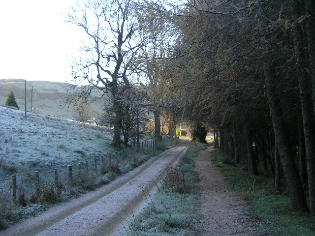
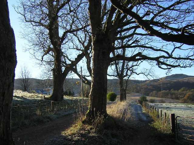
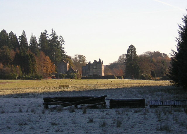
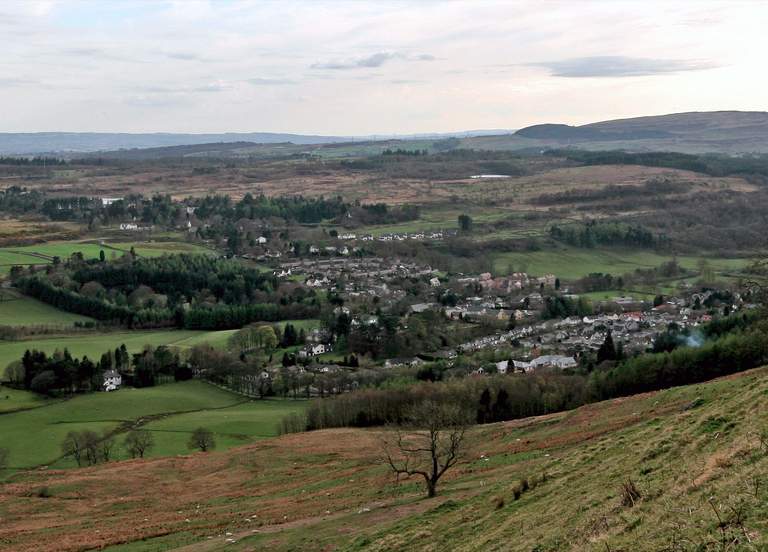
Blair's Hill, located in Stirlingshire, Scotland, is a prominent hill standing at an elevation of 357 meters (1,171 feet). It is situated near the small village of Blairlogie, approximately 6 kilometers south of Stirling. The hill is a notable landmark in the area, offering stunning panoramic views across the surrounding countryside.

The hill itself is characterized by a gentle slope, covered in lush green vegetation, which gradually ascends towards its summit. The terrain consists predominantly of grassy slopes, scattered with rocky outcrops, providing an interesting and varied landscape for hikers and nature enthusiasts.

Blair's Hill has gained popularity among outdoor enthusiasts due to its accessibility and the diverse range of activities it offers. The hill is a favorite spot for walkers, who can enjoy a pleasant hike to the top, taking in the breathtaking views along the way. It also serves as a fantastic location for picnics or simply relaxing amidst the tranquil surroundings.

The hill's location within the Stirlingshire region means that it is within easy reach of other attractions in the area. Visitors can take advantage of nearby historical sites such as Stirling Castle or the Wallace Monument, making Blair's Hill an ideal destination for those seeking a combination of natural beauty and cultural exploration.

Overall, Blair's Hill provides an enjoyable outdoor experience, offering stunning views, peaceful surroundings, and a chance to connect with nature in the heart of Stirlingshire.

If you have any feedback on the listing, please let us know in the comments section below.
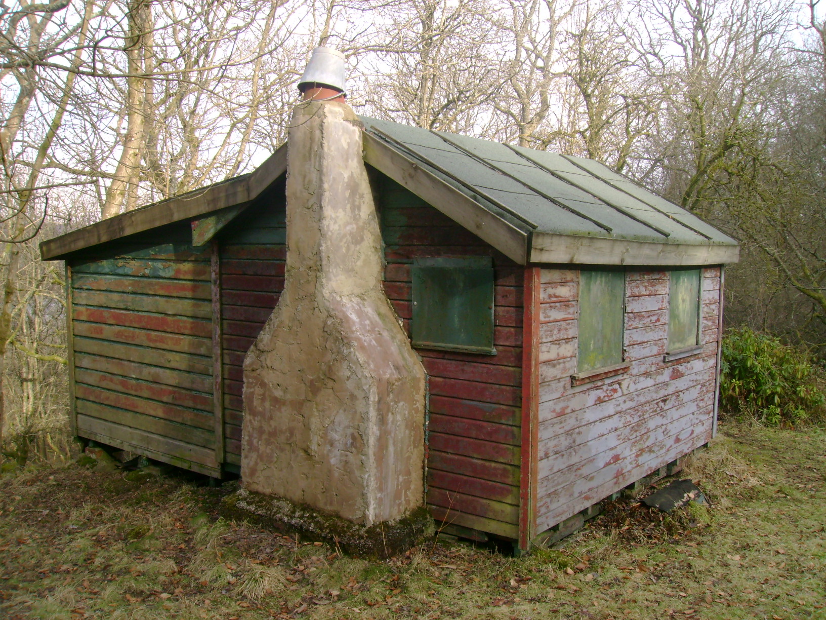
Blair's Hill Images

Images are sourced within 2km of 55.988451/-4.342054 or Grid Reference NS5379. Thanks to Geograph Open Source API. All images are credited.

Track leading to Slackdhu above Strathblane
Arlehaven Located next to West Highland Way
Arlehaven
Located next to West Highland Way
West Highland Way Near Dumgoyach
Duntreath Castle, Strath Blane
View Across Strath Blane
West Highland Way Near Dumgoyach
Cantywheery Cottage Isolated Cantywheery Cottage beside the 'pipe track' which follows the water supply pipes from Loch Katrine to Glasgow, passing here under the western escarpmant of the Campsie Hills
Cantywheery Cottage
Isolated Cantywheery Cottage beside the 'pipe track' which follows the water supply pipes from Loch Katrine to Glasgow, passing here under the western escarpmant of the Campsie Hills
Slump A recent and rather large landslide on the slopes beneath Slackdhu.
Slump
A recent and rather large landslide on the slopes beneath Slackdhu.
Arlehaven on the West Highland Way The path of the West Highland Way can be seen with Dumgoyne in the background.
Arlehaven on the West Highland Way
The path of the West Highland Way can be seen with Dumgoyne in the background.
Dumgoyach with Dumgoyne in the background Dumgoyach with Dumgoyne in the background viewed from the West Highland Way.
Dumgoyach with Dumgoyne in the background
Dumgoyach with Dumgoyne in the background viewed from the West Highland Way.
Remains of Arlehaven Some mishap has befallen the house at Arlehaven, its previous, idyllic state shown in <a href="https://www.geograph.org.uk/photo/80349">NS5380 : Arlehaven</a>. The pile of stones to the right, just below halfway, seems to be all that remains, plus some abandoned electrical appliances.
Remains of Arlehaven
Some mishap has befallen the house at Arlehaven, its previous, idyllic state shown in NS5380 : Arlehaven. The pile of stones to the right, just below halfway, seems to be all that remains, plus some abandoned electrical appliances.
Dumgoyach from West Highland Way Dumgoyach is one of several volcanic plugs around the Blane Valley.
Dumgoyach from West Highland Way
Dumgoyach is one of several volcanic plugs around the Blane Valley.
West Highland Way at Arlehaven The path of the West Highland Way has clearly seen many visitors in recent days, so its line is quite clear at the bottom of the picture, even if its surface currently resembles a ski piste. The distinctively shaped hill Dumgoyne lies in the distance. At top right you can still see the telephone line that served the now destroyed house at Arlehaven ( <a href="https://www.geograph.org.uk/photo/1640386">NS5380 : Remains of Arlehaven</a> ).
West Highland Way at Arlehaven
The path of the West Highland Way has clearly seen many visitors in recent days, so its line is quite clear at the bottom of the picture, even if its surface currently resembles a ski piste. The distinctively shaped hill Dumgoyne lies in the distance. At top right you can still see the telephone line that served the now destroyed house at Arlehaven ( NS5380 : Remains of Arlehaven ).
Solitary tree The tree is viewed from the West Highland Way between Arlehaven and Dumgoyach. Higher ground stands to the west as the path sinks towards the Blane Valley; hence the tree's apparent isolation, and the still-lit sky behind it in the middle of the afternoon.
Solitary tree
The tree is viewed from the West Highland Way between Arlehaven and Dumgoyach. Higher ground stands to the west as the path sinks towards the Blane Valley; hence the tree's apparent isolation, and the still-lit sky behind it in the middle of the afternoon.
Totem pole A small totem pole in the grounds of Auchengillan Outdoor Centre.  The centre is owned and operated by Clyde Regional Scout Council.
Totem pole
A small totem pole in the grounds of Auchengillan Outdoor Centre. The centre is owned and operated by Clyde Regional Scout Council.
Edge of the Strathblane Hills
Dumgoyach, Dumgoyne and the West Highland Way Just north of Carbeth Loch on the long distance path from Milngavie to Fort William.
Dumgoyach, Dumgoyne and the West Highland Way
Just north of Carbeth Loch on the long distance path from Milngavie to Fort William.
Show me another place!

Blair's Hill is located at Grid Ref: NS5379 (Lat: 55.988451, Lng: -4.342054)

Unitary Authority: Stirling

Police Authority: Forth Valley

What 3 Words

///talkative.kick.afflict. Near Strathblane, Stirling

Nearby Locations

Carbeth Loch Blair's Hill

Related Wikis

Blanefield railway station

Blanefield railway station served the village of Blanefield, Stirling, Scotland from 1867 to 1959 on the Blane Valley Railway. == History == The station...

Carbeth

Carbeth is a hamlet in Stirlingshire, 2.5 miles (4 km) west of Strathblane and 5.5 miles (9 km) north of Clydebank. Named features include Carbeth Hill...

Blanefield

Blanefield is a settlement in Scotland contiguous with Strathblane's northwestern fringe. To the west is the volcanic plug Dumgoyne, Glengoyne Distillery...

Strathblane

Strathblane (Scottish Gaelic: Strath Bhlàthain, pronounced [s̪t̪ɾahˈvl̪ˠaː.ɪɲ]) is a village and parish in the registration county of Stirlingshire, situated...

Nearby Amenities

Located within 500m of 55.988451,-4.342054
South Brae
Place: locality
Lat/Long: 55.9916263/-4.3373886
Shepherd's Hill
Corbett: no
Donald: no
Graham: no
Munro: no
Natural: peak
Lat/Long: 55.9913862/-4.3397919
Hiking: yes
Information: guidepost
Tourism: information
Lat/Long: 55.9869131/-4.3455521
Blair's Hill
Natural: peak
Lat/Long: 55.9882914/-4.3426286
Alreoch
Place: isolated_dwelling
Lat/Long: 55.9882641/-4.3461871
Power: pole
Lat/Long: 55.9877729/-4.3459803
Power: pole
Lat/Long: 55.9875701/-4.3461396
Power: pole
Lat/Long: 55.987106/-4.3464916
Power: pole
Lat/Long: 55.9872232/-4.3475707
Power: pole
Lat/Long: 55.9873615/-4.3488301
Power: pole
Lat/Long: 55.9880202/-4.3484592
Power: pole
Lat/Long: 55.9887821/-4.3486897
Power: pole
Lat/Long: 55.9896729/-4.3492848
Power: pole
Lat/Long: 55.9923603/-4.3454837
Power: pole
Lat/Long: 55.9921505/-4.3444968
Power: pole
Lat/Long: 55.9919571/-4.3433799
Power: pole
Lat/Long: 55.9917485/-4.3423134
Power: pole
Lat/Long: 55.9843391/-4.339318
Power: pole
Lat/Long: 55.9844844/-4.3406926
Power: pole
Lat/Long: 55.9846204/-4.3420252
Power: pole
Lat/Long: 55.9851116/-4.3426455
Power: pole
Lat/Long: 55.9855418/-4.3431798
Power: pole
Lat/Long: 55.986231/-4.3440452
Power: pole
Lat/Long: 55.9864115/-4.3448645
Power: pole
Lat/Long: 55.9867913/-4.3465094
Power: pole
Lat/Long: 55.9866037/-4.3425533
Power: pole
Lat/Long: 55.9870116/-4.3409461
Power: pole
Lat/Long: 55.9874066/-4.3392761
Power: pole
Lat/Long: 55.9877712/-4.3377779
Power: pole
Lat/Long: 55.9881732/-4.3360764
Power: pole
Lat/Long: 55.9884733/-4.3347793
West Highland Way Hotel
Phone: +447488261730
Tourism: hotel
Website: https://westhighlandway.info/
Lat/Long: 55.9899203/-4.3368636
The data included in this document is from www.openstreetmap.org. The data is made available under ODbL.

Have you been to Blair's Hill?

Leave your review of Blair's Hill below (or comments, questions and feedback).