Corker Hill
Hill, Mountain in Renfrewshire
Scotland
Corker Hill

Corker Hill is a prominent geographical feature located in Renfrewshire, Scotland. Situated in the southern part of the county, it is part of the larger Clyde Muirshiel Regional Park, which covers an area of approximately 108 square miles.
Rising to a height of 456 meters (1,496 feet), Corker Hill is classified as a hill rather than a mountain due to its elevation. It offers stunning panoramic views of the surrounding countryside, making it a popular destination for hikers and nature enthusiasts alike.
The hill is predominantly covered in heather and scattered with rocky outcrops, creating a picturesque landscape. It is home to a diverse range of flora and fauna, including various species of birds, mammals, and insects.
Access to Corker Hill is relatively easy, with several well-defined trails and paths leading to the summit. These trails cater to different levels of fitness and experience, ensuring that both beginners and experienced hikers can enjoy the hill. Along the way, walkers may encounter remnants of the area's past, such as old sheep pens and ruins of former farming settlements.
Corker Hill is not only a natural beauty but also holds historical significance. It is believed to have been an important landmark during ancient times, with archaeological remains suggesting human activity in the area dating back thousands of years.
Overall, Corker Hill is a remarkable destination for anyone looking to experience the beauty of Renfrewshire's landscape, delve into its history, and enjoy a peaceful day of outdoor exploration.
If you have any feedback on the listing, please let us know in the comments section below.
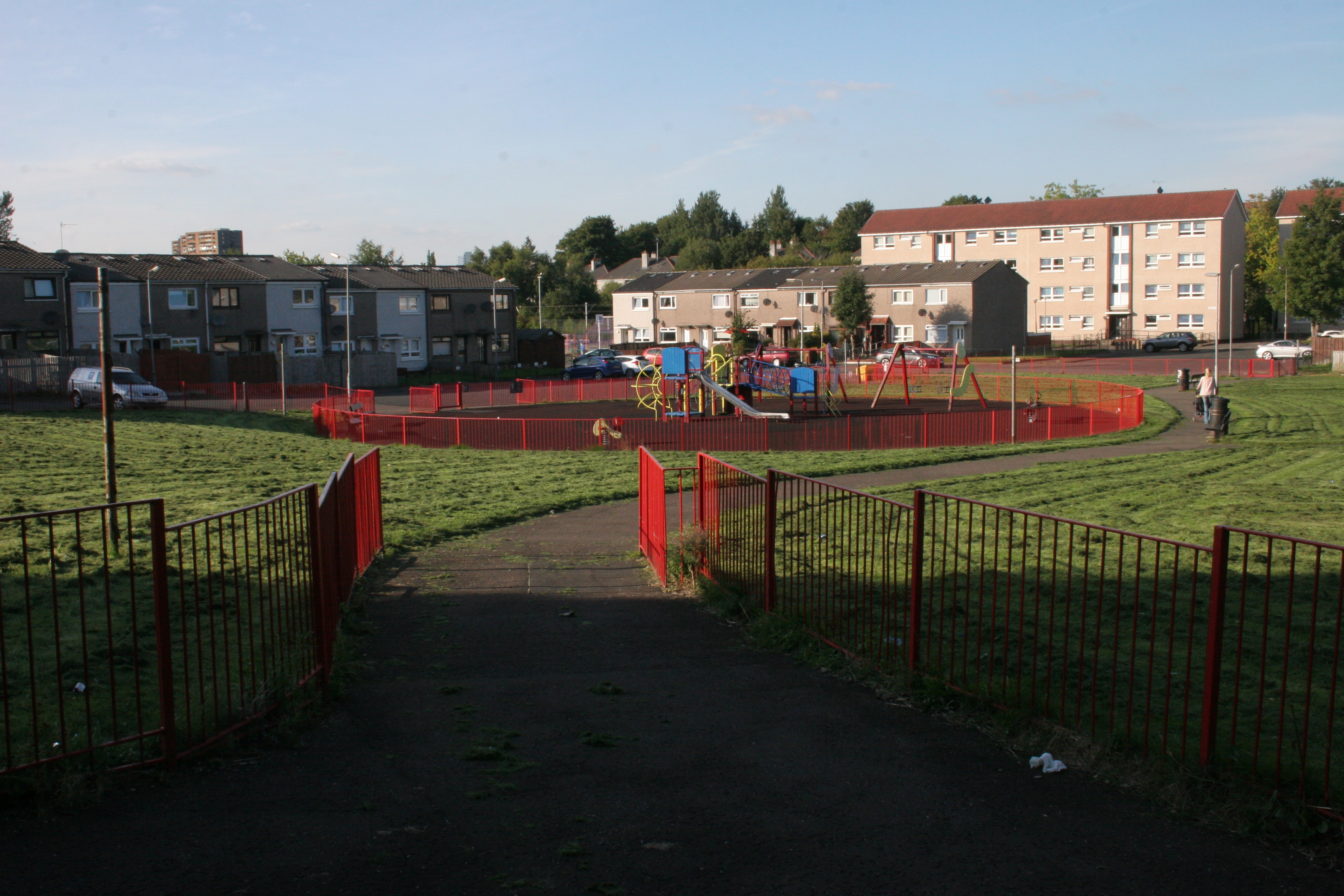
Corker Hill Images
Images are sourced within 2km of 55.833832/-4.3338171 or Grid Reference NS5362. Thanks to Geograph Open Source API. All images are credited.


Corker Hill is located at Grid Ref: NS5362 (Lat: 55.833832, Lng: -4.3338171)
Unitary Authority: City of Glasgow
Police Authority: Greater Glasgow
What 3 Words
///adults.fats.hint. Near Thornliebank, East Renfrewshire
Nearby Locations
Related Wikis
Corkerhill
Corkerhill is a neighbourhood of Glasgow, Scotland, southwest of the city centre. The area was originally a farm and a few houses built for workers of...

Glasgow South West (UK Parliament constituency)
Glasgow South West is a constituency of the House of Commons of the Parliament of the United Kingdom. As in all other seats since the 1950 abolition of...
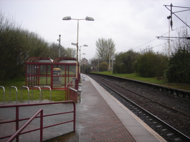
Corkerhill railway station
Corkerhill railway station serves the Corkerhill and Mosspark neighbourhoods of Glasgow, Scotland. The station is managed by ScotRail and lies on the Paisley...

Corkerhill Carriage Servicing Maintenance Depot
Corkerhill Carriage Servicing Maintenance Depot is located in Corkerhill, Glasgow, Scotland. The depot is situated on the Paisley Canal Line and is to...
Nearby Amenities
Located within 500m of 55.833832,-4.3338171Have you been to Corker Hill?
Leave your review of Corker Hill below (or comments, questions and feedback).