Corker Hill
Settlement in Renfrewshire
Scotland
Corker Hill
Corker Hill is a small village located in Renfrewshire, Scotland. Situated about 12 miles west of Glasgow, it is nestled in the picturesque countryside, offering residents and visitors a tranquil and scenic environment.
The village is known for its charming rural character, with its well-preserved traditional cottages and stunning views of the surrounding hills and countryside. The area is primarily residential, with a close-knit community that takes pride in its beautiful surroundings.
Corker Hill is an ideal location for nature enthusiasts and outdoor lovers, as it is surrounded by lush green fields and rolling hills. There are numerous walking trails and cycling routes that provide opportunities for exploring the countryside and taking in the breathtaking landscapes.
Despite its rural setting, Corker Hill is well-connected to nearby towns and cities. The village benefits from good transportation links, with regular bus services and easy access to major roads, making it convenient for commuting or accessing amenities in the surrounding areas.
Residents of Corker Hill enjoy a peaceful and friendly community atmosphere. The village has a small primary school and a community hall that serves as a social hub for various activities and events. There are also a few local shops and amenities within easy reach, ensuring that everyday needs are catered for.
Overall, Corker Hill offers a picturesque and idyllic setting for those seeking a peaceful retreat in the Scottish countryside, while still being within reach of urban conveniences.
If you have any feedback on the listing, please let us know in the comments section below.
Corker Hill Images
Images are sourced within 2km of 55.836276/-4.3353051 or Grid Reference NS5362. Thanks to Geograph Open Source API. All images are credited.


Corker Hill is located at Grid Ref: NS5362 (Lat: 55.836276, Lng: -4.3353051)
Unitary Authority: City of Glasgow
Police Authority: Greater Glasgow
Also known as: Corkerhill
What 3 Words
///keep.silks.lots. Near Thornliebank, East Renfrewshire
Nearby Locations
Related Wikis
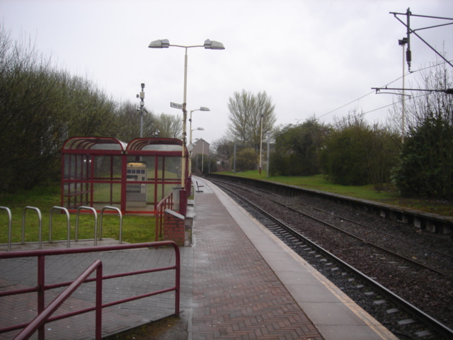
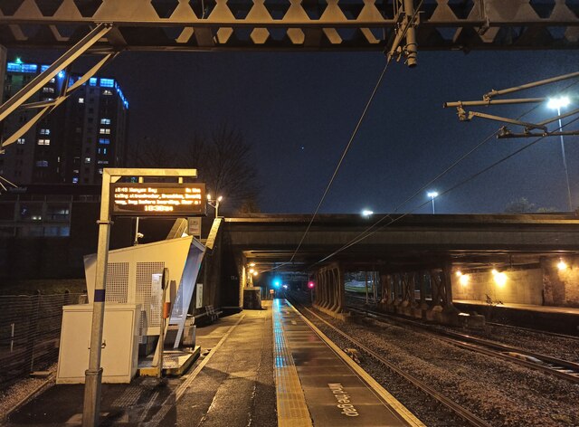
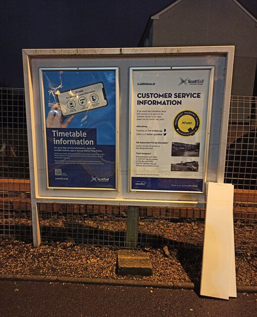
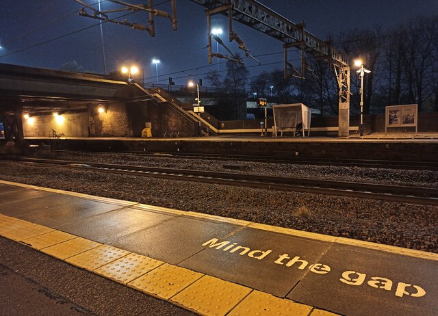
Corkerhill railway station
Corkerhill railway station serves the Corkerhill and Mosspark neighbourhoods of Glasgow, Scotland. The station is managed by ScotRail and lies on the Paisley...
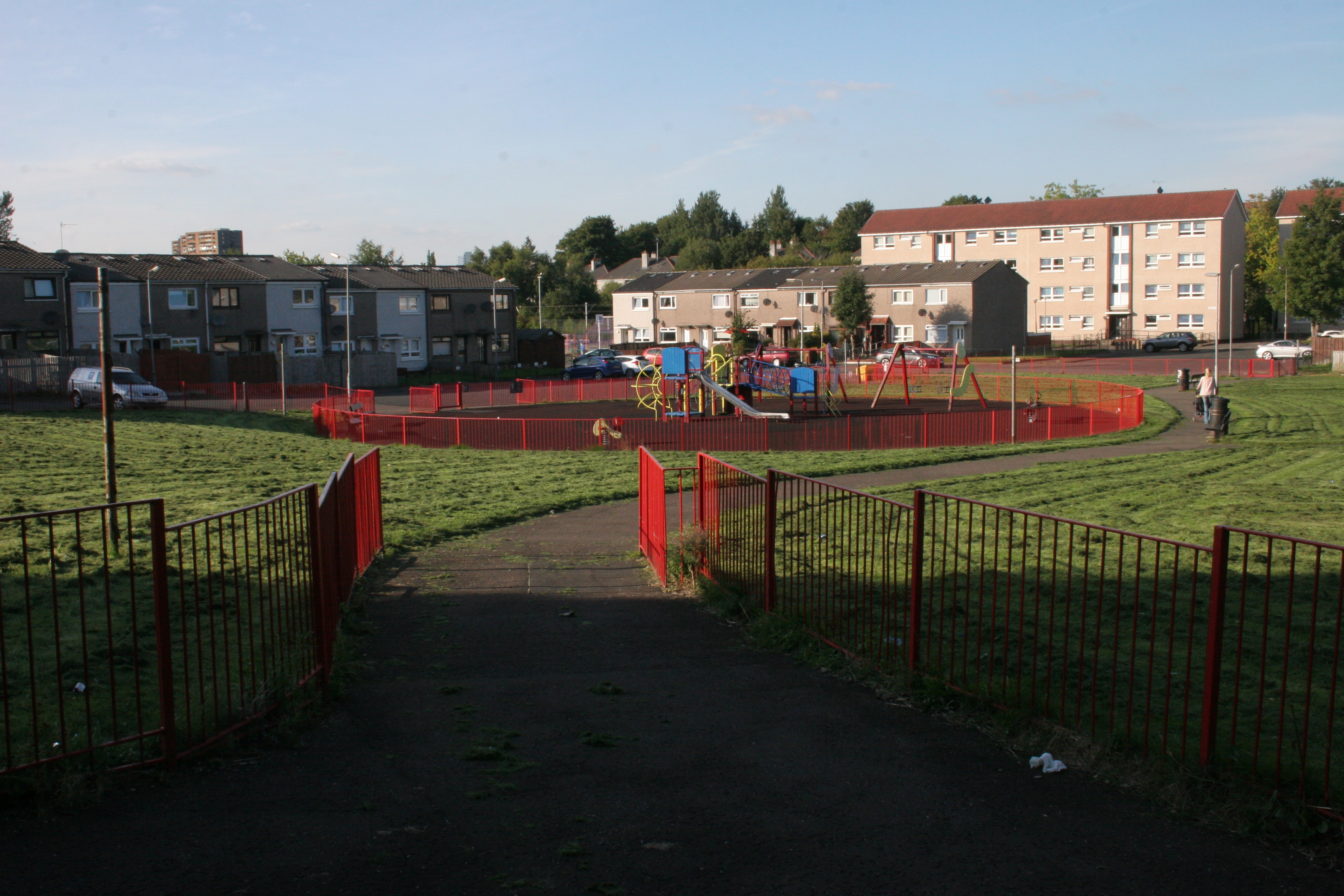
Corkerhill
Corkerhill is a neighbourhood of Glasgow, Scotland, southwest of the city centre. The area was originally a farm and a few houses built for workers of...

Glasgow South West (UK Parliament constituency)
Glasgow South West is a constituency of the House of Commons of the Parliament of the United Kingdom. As in all other seats since the 1950 abolition of...

Mosspark
Mosspark (Scottish Gaelic: Pàirc na Mòna) is a district in the Scottish city of Glasgow. It is situated south of the River Clyde, in the southwest of the...
Nearby Amenities
Located within 500m of 55.836276,-4.3353051Have you been to Corker Hill?
Leave your review of Corker Hill below (or comments, questions and feedback).