Hinton on the Green

Settlement in Gloucestershire Wychavon

England

Hinton on the Green

Track to Furzehill Farm
Track to Furzehill Farm Credit: Sarah Charlesworth

Hinton on the Green is a small village located in the county of Gloucestershire, England. Situated in the Vale of Evesham, it lies approximately 20 miles south of the city of Worcester and 10 miles east of the town of Evesham. With a population of around 400 residents, it is a close-knit community that exudes a peaceful and idyllic atmosphere.

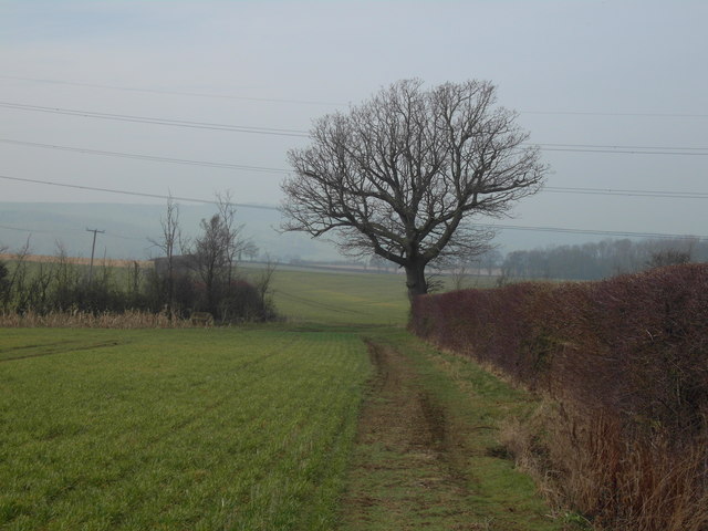
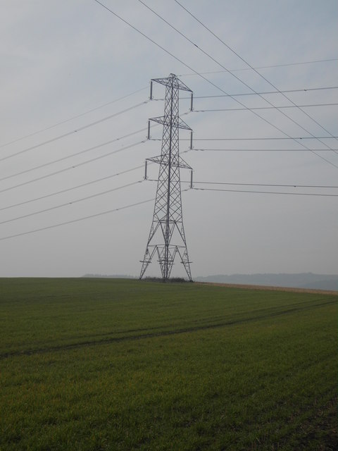
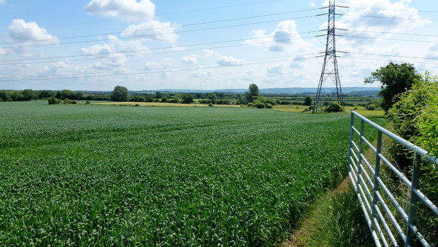
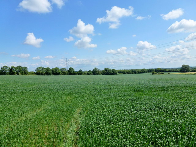
The village is surrounded by beautiful countryside, characterized by rolling hills and lush green fields. It offers stunning views of the nearby Cotswold Hills, adding to the charm of the area. Hinton on the Green is known for its picturesque setting, making it a popular destination for nature lovers and outdoor enthusiasts.

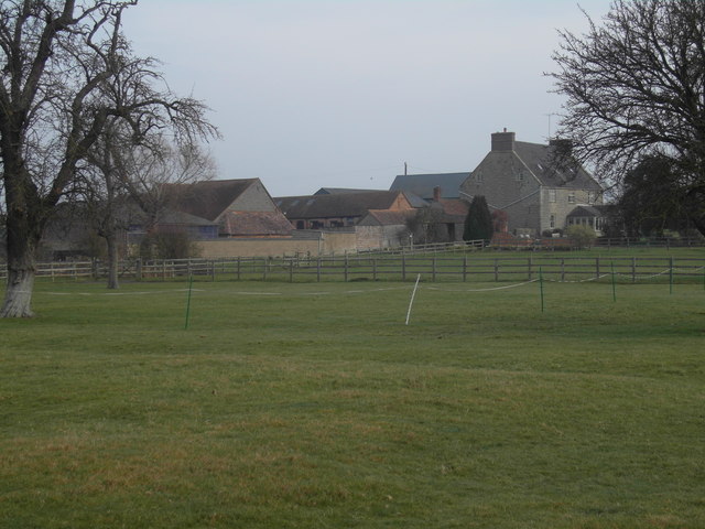
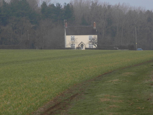
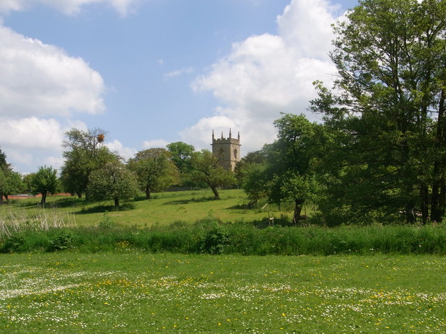
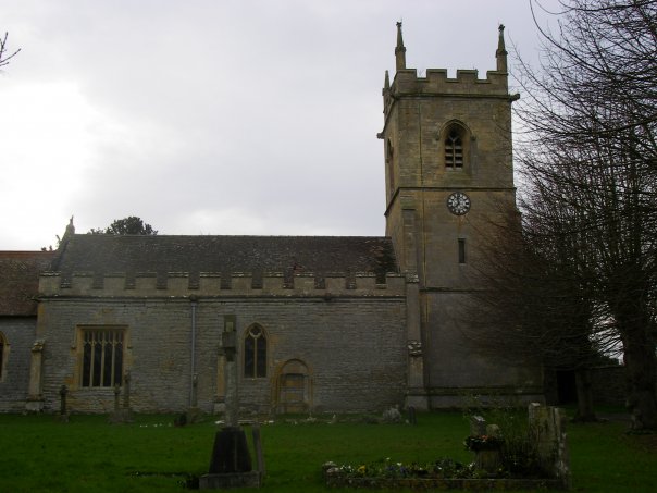
The village itself is home to a number of historic buildings, including the 12th-century St. Peter's Church, which stands as a reminder of the area's rich history. There are also a few traditional thatched-roof cottages, adding to the village's quaint and traditional feel.

Despite its small size, Hinton on the Green boasts a strong sense of community spirit. It has a village hall that serves as a hub for various social and recreational activities, bringing residents together. The village also hosts a number of events throughout the year, such as summer fairs and Christmas festivities, further fostering a sense of unity and belonging.

Overall, Hinton on the Green is a charming village that offers a peaceful and picturesque setting, making it an appealing place to live or visit for those seeking a tranquil escape in the heart of the Gloucestershire countryside.

If you have any feedback on the listing, please let us know in the comments section below.

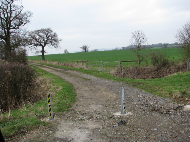
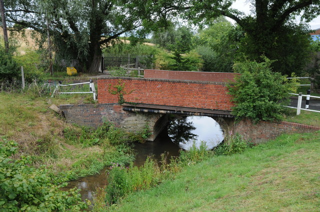
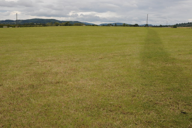
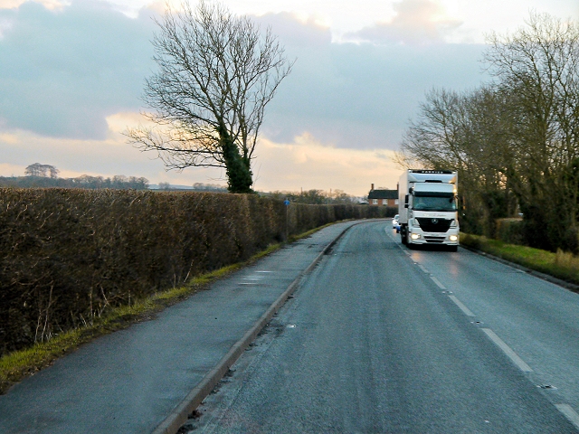
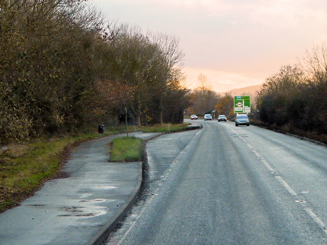
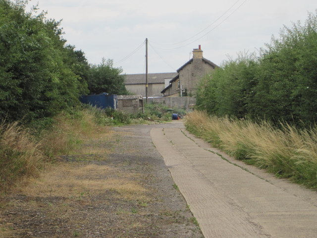
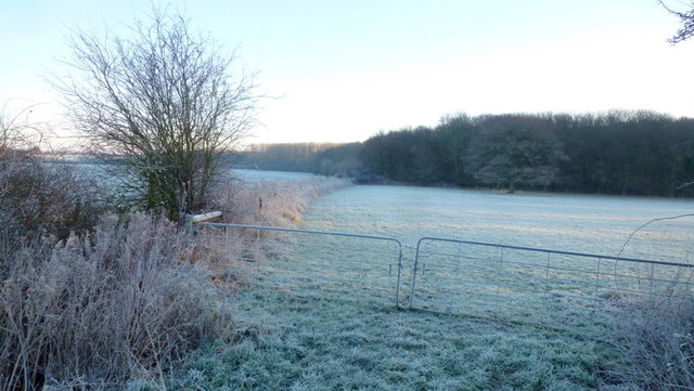
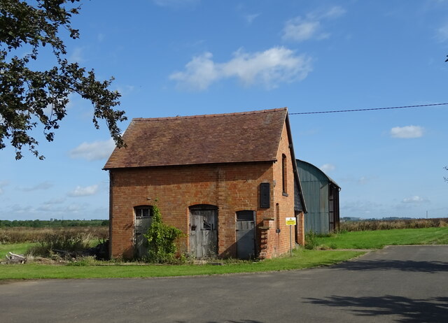
Hinton on the Green Images

Images are sourced within 2km of 52.060245/-1.970213 or Grid Reference SP0240. Thanks to Geograph Open Source API. All images are credited.

Track to Furzehill Farm
Bridge over the River Isbourne Bridge over the River Isbourne at Hinton in the Green.
Bridge over the River Isbourne
Bridge over the River Isbourne at Hinton in the Green.
Field beside Ballard's Farm A footpath to Ashton under Hill crosses this field beside Ballard's Farm to the west of Hinton in the Green.  On the horizon are a number of Cotswold outlier hills.
Field beside Ballard's Farm
A footpath to Ashton under Hill crosses this field beside Ballard's Farm to the west of Hinton in the Green. On the horizon are a number of Cotswold outlier hills.
Ballard's Farm
Ballard's Farm
Late winter on Ballard's Farm This isolated tree will soon be clothed in fresh greenery
Late winter on Ballard's Farm
This isolated tree will soon be clothed in fresh greenery
Pylon on Furze Hill The pylon dominates the east slope of Furze Hill one of the lower tops around Bredon Hill
Pylon on Furze Hill
The pylon dominates the east slope of Furze Hill one of the lower tops around Bredon Hill
Furzehill Farm farmhouse
Hinton Church from just upstream of Hinton Mill
A46, Cheltenham Road The A46 is an important cross-country route which runs from the West Country to the North Sea.  It starts to the east of Bath in Somerset and ends in Cleethorpes in North East Lincolnshire.  It is no longer a continuous route as large portions of the old (1923) road have been lost, bypassed, or replaced by motorway development. For more detail, see <span class="nowrap"><a title="http://en.wikipedia.org/wiki/A46_road" rel="nofollow ugc noopener" href="http://en.wikipedia.org/wiki/A46_road">Link</a><img style="margin-left:2px;" alt="External link" title="External link - shift click to open in new window" src="https://s1.geograph.org.uk/img/external.png" width="10" height="10"/></span> (Wikipedia Article).
A46, Cheltenham Road
The A46 is an important cross-country route which runs from the West Country to the North Sea. It starts to the east of Bath in Somerset and ends in Cleethorpes in North East Lincolnshire. It is no longer a continuous route as large portions of the old (1923) road have been lost, bypassed, or replaced by motorway development. For more detail, see LinkExternal link (Wikipedia Article).
A46, Layby near Hinton Cross The A46 is an important cross-country route which runs from the West Country to the North Sea.  It starts to the east of Bath in Somerset and ends in Cleethorpes in North East Lincolnshire.  It is no longer a continuous route as large portions of the old (1923) road have been lost, bypassed, or replaced by motorway development. For more detail, see <span class="nowrap"><a title="http://en.wikipedia.org/wiki/A46_road" rel="nofollow ugc noopener" href="http://en.wikipedia.org/wiki/A46_road">Link</a><img style="margin-left:2px;" alt="External link" title="External link - shift click to open in new window" src="https://s1.geograph.org.uk/img/external.png" width="10" height="10"/></span> (Wikipedia Article).
A46, Layby near Hinton Cross
The A46 is an important cross-country route which runs from the West Country to the North Sea. It starts to the east of Bath in Somerset and ends in Cleethorpes in North East Lincolnshire. It is no longer a continuous route as large portions of the old (1923) road have been lost, bypassed, or replaced by motorway development. For more detail, see LinkExternal link (Wikipedia Article).
Young wheat crop And a view north-east across the Vale of Evesham.
Young wheat crop
And a view north-east across the Vale of Evesham.
Arable land, Vale of Evesham Looking north on a fine June morning.
Arable land, Vale of Evesham
Looking north on a fine June morning.
Hinton railway station (site), Worcestershire Opened in 1864 by the Midland Railway on the "Gloucester Loop" line from Evesham to Gloucester, this station closed in 1963.
View along the approach road towards the forecourt. The railway ran left to right behind the building.
Hinton railway station (site), Worcestershire
Opened in 1864 by the Midland Railway on the "Gloucester Loop" line from Evesham to Gloucester, this station closed in 1963. View along the approach road towards the forecourt. The railway ran left to right behind the building.
Edge of Furzehill Brake Looking across frosty fields from the Elmley to Ashton road.
Edge of Furzehill Brake
Looking across frosty fields from the Elmley to Ashton road.
The Glebe Houses, Hinton Cross.
The Glebe
Houses, Hinton Cross.
A46 approaching Hinton Cross Looking north.
A46 approaching Hinton Cross
Looking north.
Minor road, Hinton Cross Towards Childswickham.
Minor road, Hinton Cross
Towards Childswickham.
Old Barn, The Villa
Old Barn, The Villa
Show me another place!

Hinton on the Green is located at Grid Ref: SP0240 (Lat: 52.060245, Lng: -1.970213)

Administrative County: Worcestershire

District: Wychavon

Police Authority: West Mercia

What 3 Words

///roadblock.wasps.senses. Near Evesham, Worcestershire

Related Wikis

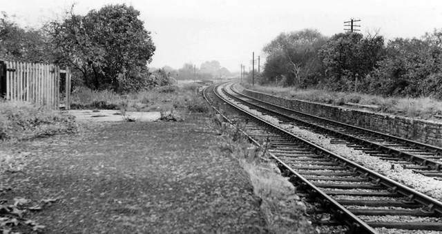
Hinton railway station (England)

Hinton railway station was a station on the Midland Railway between Tewkesbury and Evesham, England. It opened 1 October 1864 by the Midland Railway. The...

Hinton on the Green

Hinton on the Green is a village and civil parish in the Wychavon district of Worcestershire in England. It is situated at the foot of Bredon Hill, about...

Sedgeberrow

Sedgeberrow is a village and civil parish in the Wychavon district of Worcestershire, England, about 3 miles (4.8 km) south of Evesham. It stands beside...

Evesham United F.C.

Evesham United Football Club are an English football club based in Evesham, Worcestershire. They reached the first round proper of the FA Cup for the first...

Kersoe

Kersoe is a hamlet in Worcestershire, England. It is at the foot of Bredon Hill an area of outstanding natural beauty.

Bengeworth railway station

Bengeworth railway station was a station on the Midland Railway between Ashchurch and Evesham. The precise location of the station was not in the Evesham...

River Isbourne

The River Isbourne is 14 mile (22 km) long tributary of the River Avon which flows through Gloucestershire and Worcestershire in the Midlands of England...

Ashton-under-Hill railway station

Ashton-under-Hill railway station was a station on the Midland Railway between Great Malvern and Evesham. It served Ashton under Hill in Worcestershire...

Related Videos

The Orchard Getaway - Off Grid Glamping in Worcestershire

Come and explore the Orchard Getaway, an off grid glamping site near Evesham in Worcestershire. With Mongolian and Kyrgyz ...

Lazytown flypod kiddie ride

This was a while back since I rode this I was a lot younger and now I'm 14 years old I have to tell you this now but I don't really like ...

Evesham pump track (December 2020)

Little edit from Evesham pump track. Really good In all weathers. Follow my Instagram: ...

Evesham United Development v Tuffley Rovers Development // Setting Up The Showdown? //

Thank you for visiting my channel. Voted by Severn Sport as Best Social Media Account 2021/22. Please share on your social ...

Nearby Amenities

Located within 500m of 52.060245,-1.970213
Hinton
Abandoned Railway: station
Historic Railway: station
Railway: site
Source: NPE
Lat/Long: 52.0616909/-1.9748699
Hinton-on-the-Green
Naptan AtcoCode: 2000G088800
Naptan Bearing: W
Naptan BusStopType: CUS
Naptan CommonName: Hinton-on-the-Green
Naptan Indicator: Adj
Naptan Landmark: Station Road
Naptan NaptanCode: wocdagtm
Naptan Street: Beven's Lane
Naptan Verified: no
Source: naptan_import
Lat/Long: 52.0605609/-1.9705505
Post Box
Collection Times: Mo-Fr 16:15; Sa 09:15
Post Box Type: lamp
Ref: WR11 80
Royal Cypher: EIIR
Royal Cypher Wikidata: Q33102113
Lat/Long: 52.0607756/-1.9705106
Hinton on the Green
Place: village
Wikidata: Q5767653
Lat/Long: 52.0602196/-1.967294
Post Box
Collection Times: Mo-Fr 16:15; Sa 08:00
Post Box Type: lamp
Ref: WR11 42
Royal Cypher: EIIR
Royal Cypher Wikidata: Q33102113
Lat/Long: 52.0591994/-1.9659491
Hinton-on-the-Green
Power: pole
Transformer: distribution
Voltage Primary: 11000
Lat/Long: 52.0592005/-1.967747
Power: pole
Lat/Long: 52.0616008/-1.9689547
Old Station Hinton
Power: pole
Transformer: distribution
Voltage Primary: 11000
Lat/Long: 52.0635129/-1.9731979
Power: pole
Lat/Long: 52.0634568/-1.9719386
Harrow Cottages
Power: pole
Transformer: distribution
Voltage Primary: 11000
Lat/Long: 52.0633949/-1.9703548
Power: pole
Lat/Long: 52.0629332/-1.9699886
Hinton Sewage Station
Power: pole
Transformer: distribution
Voltage Primary: 11000
Lat/Long: 52.0631633/-1.9680414
Power: pole
Lat/Long: 52.062718/-1.9687817
Power: pole
Lat/Long: 52.0622955/-1.9695052
Bevans
Power: pole
Transformer: distribution
Voltage Primary: 11000
Lat/Long: 52.0612999/-1.9695347
Power: pole
Lat/Long: 52.0613027/-1.9687193
Power: pole
Lat/Long: 52.0607697/-1.9683015
Power: pole
Lat/Long: 52.060136/-1.9684497
Power: pole
Lat/Long: 52.061069/-1.9634876
Power: pole
Lat/Long: 52.0603995/-1.9641361
Power: pole
Lat/Long: 52.060016/-1.9650292
Power: pole
Lat/Long: 52.060028/-1.9661048
Power: pole
Lat/Long: 52.0600457/-1.9671442
Power: pole
Lat/Long: 52.0600573/-1.9684685
Banks Cottage
Power: pole
Transformer: distribution
Voltage Primary: 11000
Lat/Long: 52.0598816/-1.9685034
Power: pole
Lat/Long: 52.0595229/-1.9687387
Power: pole
Lat/Long: 52.0592929/-1.9691156
Power: pole
Lat/Long: 52.0594232/-1.9709086
Power: pole
Lat/Long: 52.0595023/-1.9720258
Power: pole
Lat/Long: 52.0595807/-1.9731181
Power: transformer
Transformer: distribution
Voltage Primary: 11000
Lat/Long: 52.0610657/-1.973912
Holdsworth Station Road
Location Transition: yes
Material: wood
Power: pole
Transformer: distribution
Voltage Primary: 11000
Lat/Long: 52.0609956/-1.9738162
Material: wood
Power: pole
Lat/Long: 52.0607746/-1.9739261
Power: pole
Lat/Long: 52.0602898/-1.9741555
Power: pole
Lat/Long: 52.0596747/-1.9744612
Power: pole
Lat/Long: 52.0597786/-1.9757983
Power: pole
Lat/Long: 52.0598313/-1.9765855
The data included in this document is from www.openstreetmap.org. The data is made available under ODbL.

Have you been to Hinton on the Green?

Leave your review of Hinton on the Green below (or comments, questions and feedback).