Ash Beds

Wood, Forest in Gloucestershire Wychavon

England

Ash Beds

Bridge over the River Isbourne Bridge over the River Isbourne at Hinton in the Green.
Bridge over the River Isbourne Credit: Philip Halling

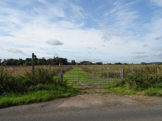
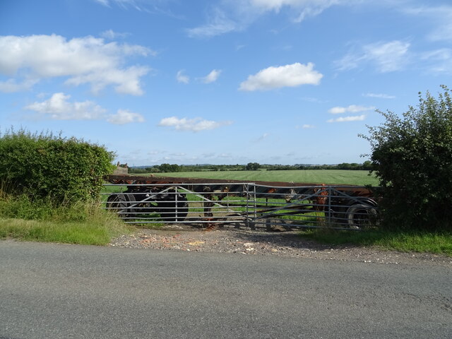
Ash Beds is a woodland area located in Gloucestershire, England. Covering a vast expanse of approximately 200 acres, it is situated within the larger Forest of Dean. The area gets its name from the prevalence of ash trees that dominate the landscape, creating a picturesque and serene atmosphere.

The woodland is characterized by its diverse and rich ecosystem. The ash trees, with their tall trunks and luscious foliage, provide a dense canopy that allows limited sunlight to filter through, creating a cool and shaded environment. This attracts a wide variety of flora and fauna, making it a haven for nature enthusiasts and wildlife alike.

The forest floor is adorned with an array of wildflowers, ferns, and mosses, creating a vibrant and colorful undergrowth. It is not uncommon to spot bluebells, primroses, and wood anemones during the spring season, adding to the beauty of the landscape. The woodland is also home to various species of birds, including woodpeckers, owls, and warblers, which can be heard singing their melodious tunes throughout the year.

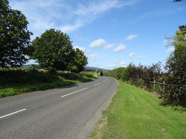
Ash Beds is a popular destination for outdoor activities such as hiking, birdwatching, and photography. Numerous well-maintained trails crisscross the woodland, offering visitors the opportunity to explore and immerse themselves in the natural surroundings. Additionally, there are several designated picnic areas where visitors can relax and enjoy a meal amidst the tranquil setting.

Overall, Ash Beds in Gloucestershire is a stunning woodland area that offers a wonderful blend of beauty, biodiversity, and recreational opportunities for nature lovers and visitors of all ages.

If you have any feedback on the listing, please let us know in the comments section below.
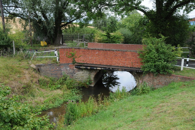
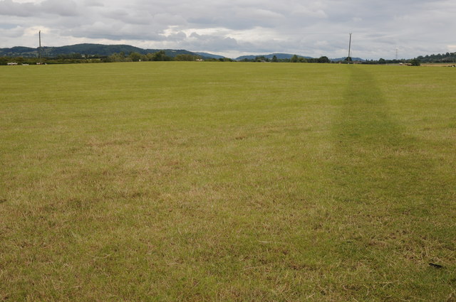
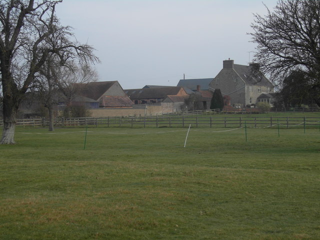
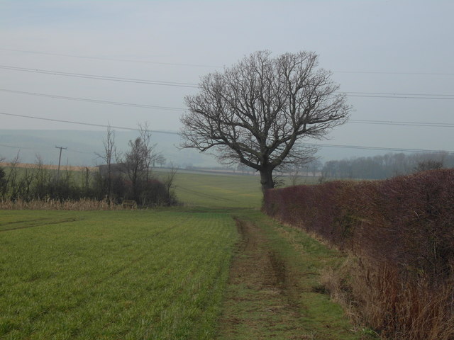
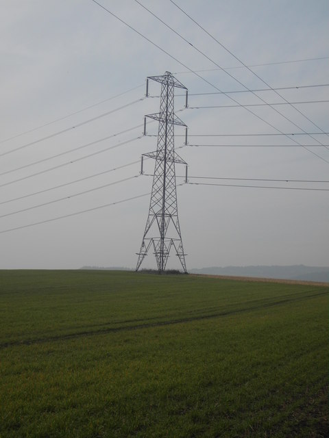
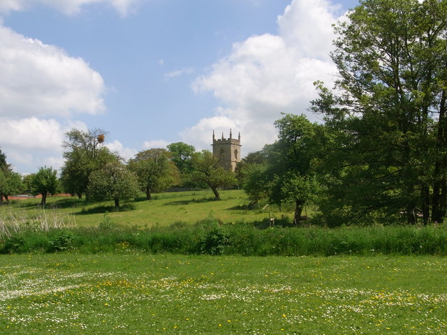
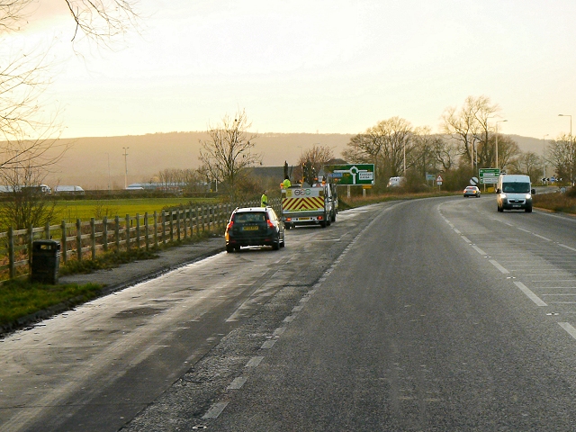
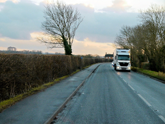
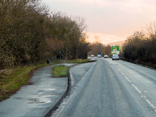
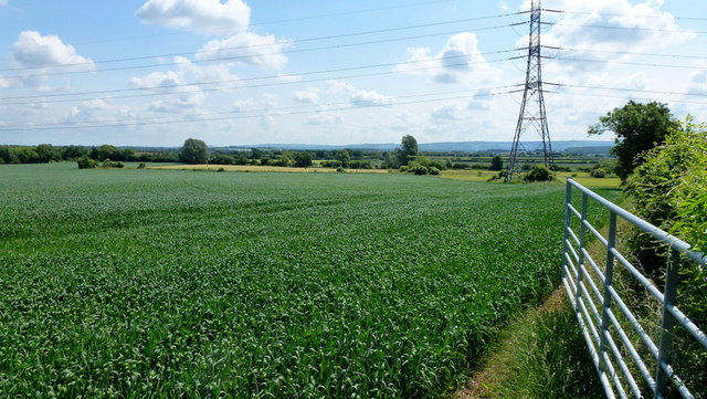
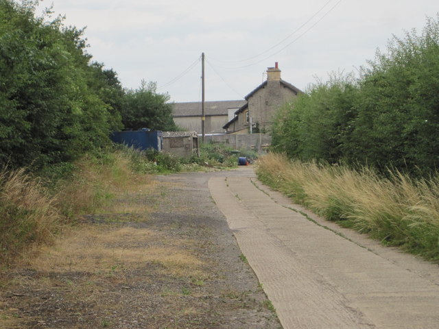
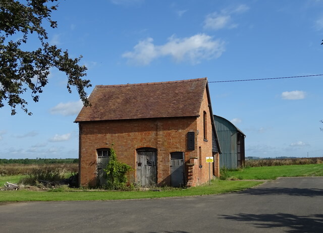
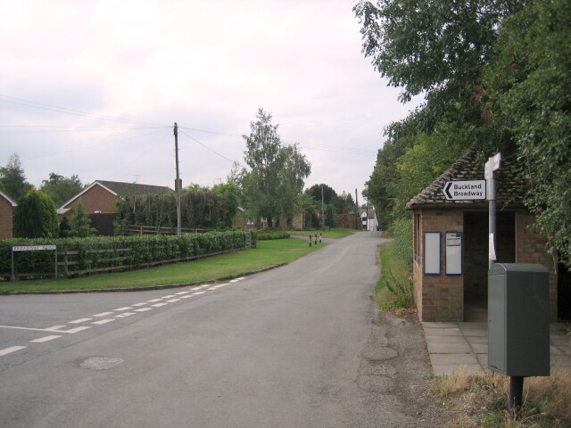
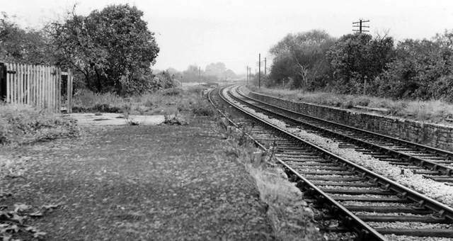
Ash Beds Images

Images are sourced within 2km of 52.05869/-1.9622369 or Grid Reference SP0240. Thanks to Geograph Open Source API. All images are credited.

Bridge over the River Isbourne Bridge over the River Isbourne at Hinton in the Green.
Bridge over the River Isbourne
Bridge over the River Isbourne at Hinton in the Green.
Field beside Ballard's Farm A footpath to Ashton under Hill crosses this field beside Ballard's Farm to the west of Hinton in the Green.  On the horizon are a number of Cotswold outlier hills.
Field beside Ballard's Farm
A footpath to Ashton under Hill crosses this field beside Ballard's Farm to the west of Hinton in the Green. On the horizon are a number of Cotswold outlier hills.
Ballard's Farm
Ballard's Farm
Late winter on Ballard's Farm This isolated tree will soon be clothed in fresh greenery
Late winter on Ballard's Farm
This isolated tree will soon be clothed in fresh greenery
Pylon on Furze Hill The pylon dominates the east slope of Furze Hill one of the lower tops around Bredon Hill
Pylon on Furze Hill
The pylon dominates the east slope of Furze Hill one of the lower tops around Bredon Hill
Hinton Church from just upstream of Hinton Mill
A46, Layby South of Evesham The A46 is an important cross-country route which runs from the West Country to the North Sea.  It starts to the east of Bath in Somerset and ends in Cleethorpes in North East Lincolnshire.  It is no longer a continuous route as large portions of the old (1923) road have been lost, bypassed, or replaced by motorway development. For more detail, see <span class="nowrap"><a title="http://en.wikipedia.org/wiki/A46_road" rel="nofollow ugc noopener" href="http://en.wikipedia.org/wiki/A46_road">Link</a><img style="margin-left:2px;" alt="External link" title="External link - shift click to open in new window" src="https://s1.geograph.org.uk/img/external.png" width="10" height="10"/></span> (Wikipedia Article).
A46, Layby South of Evesham
The A46 is an important cross-country route which runs from the West Country to the North Sea. It starts to the east of Bath in Somerset and ends in Cleethorpes in North East Lincolnshire. It is no longer a continuous route as large portions of the old (1923) road have been lost, bypassed, or replaced by motorway development. For more detail, see LinkExternal link (Wikipedia Article).
A46, Cheltenham Road The A46 is an important cross-country route which runs from the West Country to the North Sea.  It starts to the east of Bath in Somerset and ends in Cleethorpes in North East Lincolnshire.  It is no longer a continuous route as large portions of the old (1923) road have been lost, bypassed, or replaced by motorway development. For more detail, see <span class="nowrap"><a title="http://en.wikipedia.org/wiki/A46_road" rel="nofollow ugc noopener" href="http://en.wikipedia.org/wiki/A46_road">Link</a><img style="margin-left:2px;" alt="External link" title="External link - shift click to open in new window" src="https://s1.geograph.org.uk/img/external.png" width="10" height="10"/></span> (Wikipedia Article).
A46, Cheltenham Road
The A46 is an important cross-country route which runs from the West Country to the North Sea. It starts to the east of Bath in Somerset and ends in Cleethorpes in North East Lincolnshire. It is no longer a continuous route as large portions of the old (1923) road have been lost, bypassed, or replaced by motorway development. For more detail, see LinkExternal link (Wikipedia Article).
A46, Layby near Hinton Cross The A46 is an important cross-country route which runs from the West Country to the North Sea.  It starts to the east of Bath in Somerset and ends in Cleethorpes in North East Lincolnshire.  It is no longer a continuous route as large portions of the old (1923) road have been lost, bypassed, or replaced by motorway development. For more detail, see <span class="nowrap"><a title="http://en.wikipedia.org/wiki/A46_road" rel="nofollow ugc noopener" href="http://en.wikipedia.org/wiki/A46_road">Link</a><img style="margin-left:2px;" alt="External link" title="External link - shift click to open in new window" src="https://s1.geograph.org.uk/img/external.png" width="10" height="10"/></span> (Wikipedia Article).
A46, Layby near Hinton Cross
The A46 is an important cross-country route which runs from the West Country to the North Sea. It starts to the east of Bath in Somerset and ends in Cleethorpes in North East Lincolnshire. It is no longer a continuous route as large portions of the old (1923) road have been lost, bypassed, or replaced by motorway development. For more detail, see LinkExternal link (Wikipedia Article).
Young wheat crop And a view north-east across the Vale of Evesham.
Young wheat crop
And a view north-east across the Vale of Evesham.
Hinton railway station (site), Worcestershire Opened in 1864 by the Midland Railway on the "Gloucester Loop" line from Evesham to Gloucester, this station closed in 1963.
View along the approach road towards the forecourt. The railway ran left to right behind the building.
Hinton railway station (site), Worcestershire
Opened in 1864 by the Midland Railway on the "Gloucester Loop" line from Evesham to Gloucester, this station closed in 1963. View along the approach road towards the forecourt. The railway ran left to right behind the building.
The Glebe Houses, Hinton Cross.
The Glebe
Houses, Hinton Cross.
A46 approaching Hinton Cross Looking north.
A46 approaching Hinton Cross
Looking north.
Minor road, Hinton Cross Towards Childswickham.
Minor road, Hinton Cross
Towards Childswickham.
Old Barn, The Villa
Old Barn, The Villa
Footpath to Hinton on the Green
National Cycle Route 41 Towards Elmley Castle.
National Cycle Route 41
Towards Elmley Castle.
Blocked field entrance off National Cycle Route 41 Blocked by an old trailer.
Blocked field entrance off National Cycle Route 41
Blocked by an old trailer.
Show me another place!

Ash Beds is located at Grid Ref: SP0240 (Lat: 52.05869, Lng: -1.9622369)

Administrative County: Worcestershire

District: Wychavon

Police Authority: West Mercia

What 3 Words

///sectors.degrading.hotspots. Near Evesham, Worcestershire

Related Wikis

Hinton on the Green

Hinton on the Green is a village and civil parish in the Wychavon district of Worcestershire in England. It is situated at the foot of Bredon Hill, about...

Hinton railway station (England)

Hinton railway station was a station on the Midland Railway between Tewkesbury and Evesham, England. It opened 1 October 1864 by the Midland Railway. The...

Sedgeberrow

Sedgeberrow is a village and civil parish in the Wychavon district of Worcestershire, England, about 3 miles (4.8 km) south of Evesham. It stands beside...

Evesham United F.C.

Evesham United Football Club are an English football club based in Evesham, Worcestershire. They reached the first round proper of the FA Cup for the first...

Aston Somerville

Aston Somerville is a small village approximately 3 miles (4.8 km) south of Evesham, Worcestershire, England. == History == Historically, the Aston Somerville...

Bengeworth railway station

Bengeworth railway station was a station on the Midland Railway between Ashchurch and Evesham. The precise location of the station was not in the Evesham...

River Isbourne

The River Isbourne is 14 mile (22 km) long tributary of the River Avon which flows through Gloucestershire and Worcestershire in the Midlands of England...

Hampton, Worcestershire

Hampton is an area of Evesham in Worcestershire, England having formerly been a separate village. It is linked to the nearby town of Evesham by the ancient...

Nearby Amenities

Located within 500m of 52.05869,-1.9622369
Bus Stop
Hinton Cross
Bus: yes
Naptan AtcoCode: 2000G072702
Naptan Bearing: S
Naptan CommonName: Hinton Cross
Naptan Indicator: opp
Naptan Landmark: Shelter
Naptan NaptanCode: wocdwmwg
Naptan Street: A46
Naptan Verified: no
Public Transport: platform
Source: naptan_import
Lat/Long: 52.0609996/-1.956976
Bus Stop
Hinton Cross
Bus: yes
Naptan AtcoCode: 2000G082300
Naptan Bearing: N
Naptan CommonName: Hinton Cross
Naptan Indicator: Adj
Naptan Landmark: Shelter
Naptan NaptanCode: wocdgjpt
Naptan Street: A46
Naptan Verified: no
Public Transport: platform
Shelter: yes
Source: naptan_import
Lat/Long: 52.0610153/-1.9572328
Hinton Cross
Place: locality
Lat/Long: 52.0606427/-1.9562346
Hinton on the Green
Place: village
Wikidata: Q5767653
Lat/Long: 52.0602196/-1.967294
Post Box
Collection Times: Mo-Fr 16:15; Sa 08:00
Post Box Type: lamp
Ref: WR11 42
Royal Cypher: EIIR
Royal Cypher Wikidata: Q33102113
Lat/Long: 52.0591994/-1.9659491
Crossing
Kerb: flush
Lat/Long: 52.0592278/-1.9566239
Phone
Check Date: 2022-03-06
Emergency: phone
Lat/Long: 52.0573443/-1.9565911
Fixme: check on ground
Lat/Long: 52.0580122/-1.9599653
Kerb: raised
Lat/Long: 52.0556636/-1.9583937
Power: pole
Lat/Long: 52.0627024/-1.9619501
Hinton North
Power: pole
Transformer: distribution
Voltage Primary: 11000
Lat/Long: 52.0624484/-1.9621794
Hinton-on-the-Green
Power: pole
Transformer: distribution
Voltage Primary: 11000
Lat/Long: 52.0592005/-1.967747
Power: pole
Lat/Long: 52.0607697/-1.9683015
Power: pole
Lat/Long: 52.060136/-1.9684497
Power: pole
Lat/Long: 52.0601335/-1.9560036
Newhouse Farm House
Power: pole
Transformer: distribution
Voltage Primary: 11000
Lat/Long: 52.0575777/-1.9561659
Material: wood
Power: pole
Lat/Long: 52.0600894/-1.9570135
Power: pole
Lat/Long: 52.0604036/-1.958482
Hinton East
Location Transition: yes
Power: pole
Transformer: distribution
Voltage Primary: 11000
Lat/Long: 52.060479/-1.9588481
Location Transition: yes
Power: pole
Lat/Long: 52.0609453/-1.9593584
Power: pole
Lat/Long: 52.0611457/-1.960149
Power: pole
Lat/Long: 52.0614736/-1.961471
Power: pole
Lat/Long: 52.0618061/-1.9627976
Power: pole
Lat/Long: 52.061069/-1.9634876
Power: pole
Lat/Long: 52.0603995/-1.9641361
Power: pole
Lat/Long: 52.060016/-1.9650292
Power: pole
Lat/Long: 52.060028/-1.9661048
Power: pole
Lat/Long: 52.0600457/-1.9671442
Power: pole
Lat/Long: 52.0600573/-1.9684685
Banks Cottage
Power: pole
Transformer: distribution
Voltage Primary: 11000
Lat/Long: 52.0598816/-1.9685034
Power: pole
Lat/Long: 52.0595229/-1.9687387
Power: pole
Lat/Long: 52.0592929/-1.9691156
The data included in this document is from www.openstreetmap.org. The data is made available under ODbL.

Have you been to Ash Beds?

Leave your review of Ash Beds below (or comments, questions and feedback).