Balquhidder
Settlement in Perthshire
Scotland
Balquhidder
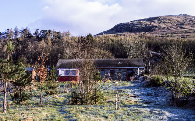
Balquhidder is a charming village located in the region of Perthshire, Scotland. Situated in the central part of the country, it is nestled in the picturesque Loch Lomond and The Trossachs National Park, making it a popular destination for nature enthusiasts and outdoor adventurers.
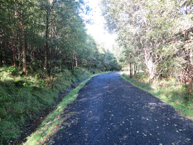
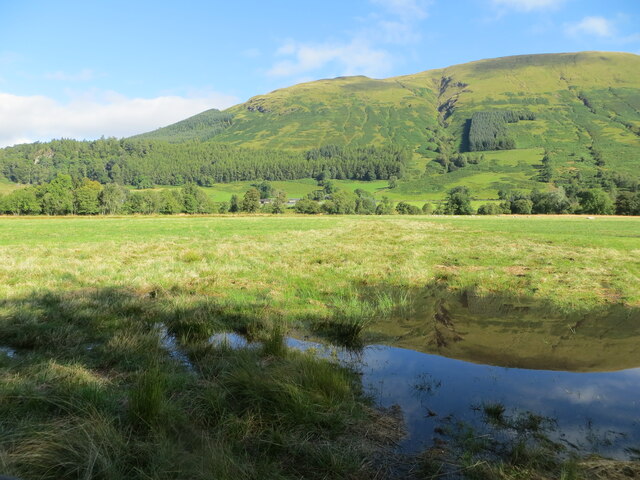
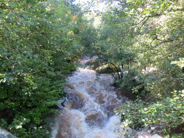
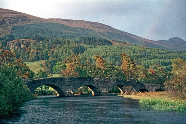
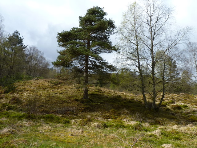
The village is known for its stunning natural beauty, with rolling hills, tranquil lochs, and lush greenery surrounding it. It is particularly renowned for its namesake Loch Voil and Loch Doine, which provide a serene and idyllic setting for fishing, boating, and leisurely walks along the shoreline.
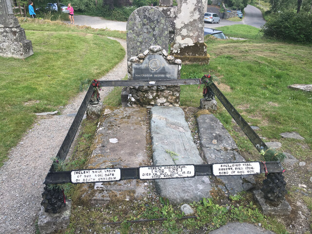
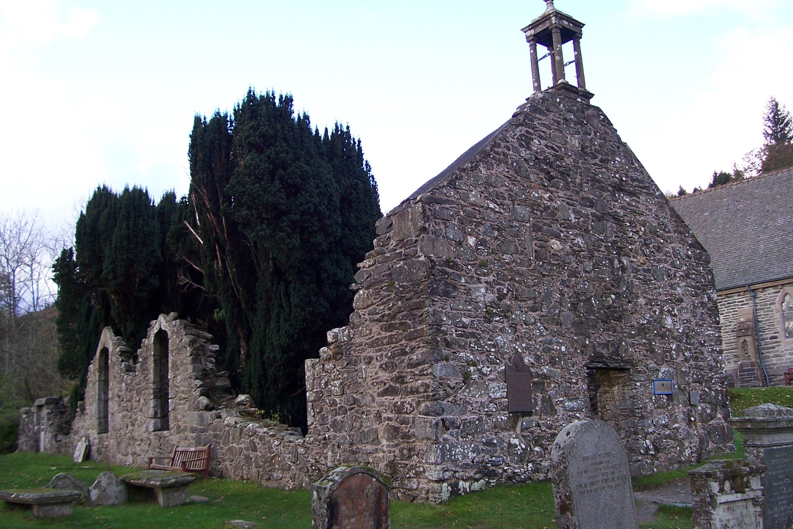
Balquhidder is steeped in history, with its origins dating back to medieval times. The village is home to the famous Balquhidder Church, which serves as the final resting place of Rob Roy MacGregor, a notorious Scottish folk hero. Visitors can explore the churchyard and pay homage to this legendary figure.
The area offers a range of outdoor activities, including hiking, cycling, and wildlife spotting. The nearby mountains, such as Ben Vorlich and Stuc a'Chroin, provide excellent opportunities for climbers and hillwalkers to test their skills.
For those seeking a taste of Scottish culture, the village hosts traditional music festivals and Highland games throughout the year. Additionally, there are quaint tearooms and local pubs where visitors can sample delicious traditional Scottish cuisine and beverages.
Overall, Balquhidder is a captivating destination that seamlessly blends natural beauty, rich history, and Scottish charm, making it an ideal place to explore and experience the true essence of Scotland.
If you have any feedback on the listing, please let us know in the comments section below.
Balquhidder Images
Images are sourced within 2km of 56.352526/-4.370051 or Grid Reference NN5320. Thanks to Geograph Open Source API. All images are credited.


Balquhidder is located at Grid Ref: NN5320 (Lat: 56.352526, Lng: -4.370051)
Unitary Authority: Stirling
Police Authority: Forth Valley
What 3 Words
///umbrella.insects.whisk. Near Callander, Stirling
Nearby Locations
Related Wikis
Balquhidder
Balquhidder ( ; Scottish Gaelic: Both Chuidir [ˌpɔˈxutʲɪɾʲ] or Both Phuidir [ˌpɔˈfutʲɪɾʲ]) is a small village in Perthshire located 10 miles (16 km) north...

Auchtubh
Auchtubh is a hamlet in the Stirling council area of Scotland, less than 1 mile (2 kilometres) to the east of the village of Balquhidder. Auchtubh consisted...
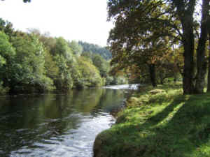
River Balvaig
The River Balvaig (Scottish Gaelic: "Abhainn Balbhaig") is a short river, approximately 8 km (5.0 mi) long, draining from the head of Loch Voil near Balquhidder...

Kingshouse railway station
Kingshouse was a railway station located at the hamlet of Kingshouse, Stirling where the road from Balquhidder joins the A84. The only building of note...

Meall an t-Seallaidh
Meall an t-Seallaidh (852 m) is a mountain in the Southern Highlands of Scotland. It is located in the Loch Lomond and The Trossachs National Park, west...
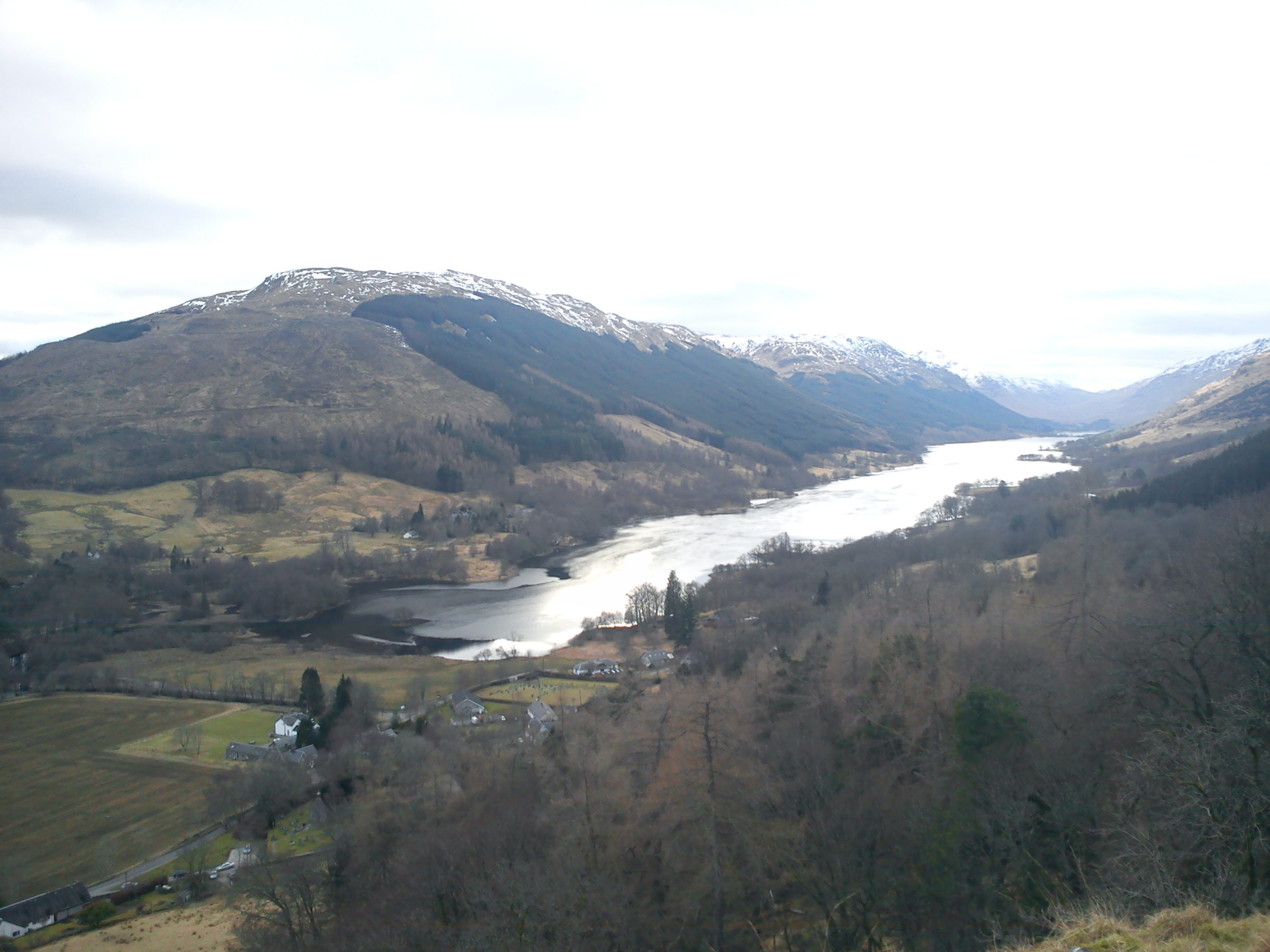
Loch Voil
Loch Voil (Scottish Gaelic: Loch a' Bheothail) is a small freshwater loch that lies to the west of Balquhidder in the Stirling council area of Scotland...

Balquhidder railway station
Balquhidder was a railway station around two miles south of Lochearnhead, Stirling (district). It was where the Callander and Oban Railway was joined by...
Strathyre railway station
Strathyre was a railway station located at the head of Loch Lubnaig, Stirling, in Strathyre. == History == This station opened on 1 June 1870 along with...
Nearby Amenities
Located within 500m of 56.352526,-4.370051Have you been to Balquhidder?
Leave your review of Balquhidder below (or comments, questions and feedback).