Hutcheson Hill

Hill, Mountain in Dunbartonshire

Scotland

Hutcheson Hill

Electrical sub station
Electrical sub station Credit: william craig

Hutcheson Hill is a prominent hill located in Dunbartonshire, Scotland. Standing at an elevation of approximately 297 meters (974 feet), it is a notable landmark in the region. The hill is situated near the village of Killearn, which lies about 18 miles northwest of Glasgow.

Hutcheson Hill boasts stunning panoramic views of the surrounding countryside, offering visitors a picturesque sight of the rolling hills and lush green landscapes of Dunbartonshire. The hill is covered in a mix of grasses, heather, and scattered trees, creating a diverse and vibrant ecosystem.

The hill is a popular destination for outdoor enthusiasts and nature lovers. There are several walking trails and paths that wind their way up the hill, providing hikers with varying levels of difficulty. The summit of Hutcheson Hill offers breathtaking views, making it a rewarding experience for those who reach the top.

In addition to its natural beauty, Hutcheson Hill is also of historical significance. The area surrounding the hill is known to have been inhabited since prehistoric times, and there are remnants of ancient settlements and structures in the vicinity. Archaeological investigations have found evidence of Iron Age forts and Roman camps in the area, adding to the historical appeal of the hill.

Overall, Hutcheson Hill in Dunbartonshire is a captivating destination that combines natural beauty, outdoor activities, and historical significance. Whether one seeks a peaceful walk in nature or a glimpse into the region's past, Hutcheson Hill offers a memorable experience for all who visit.

If you have any feedback on the listing, please let us know in the comments section below.

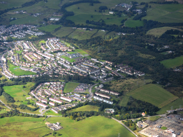
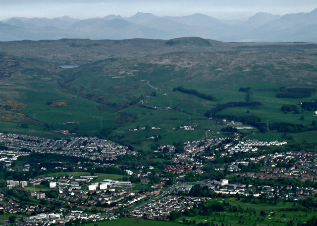
Hutcheson Hill Images

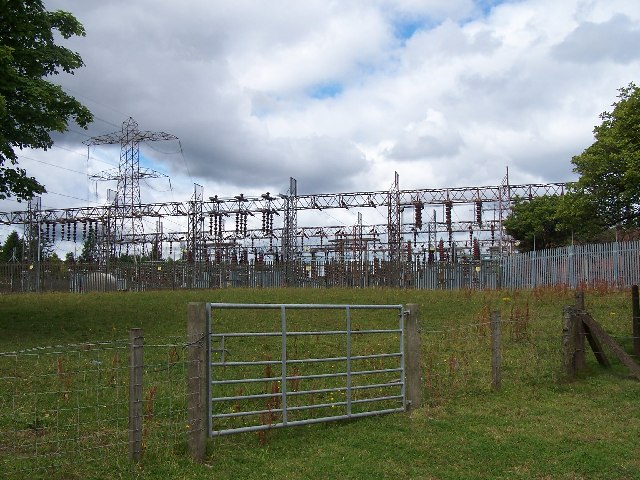
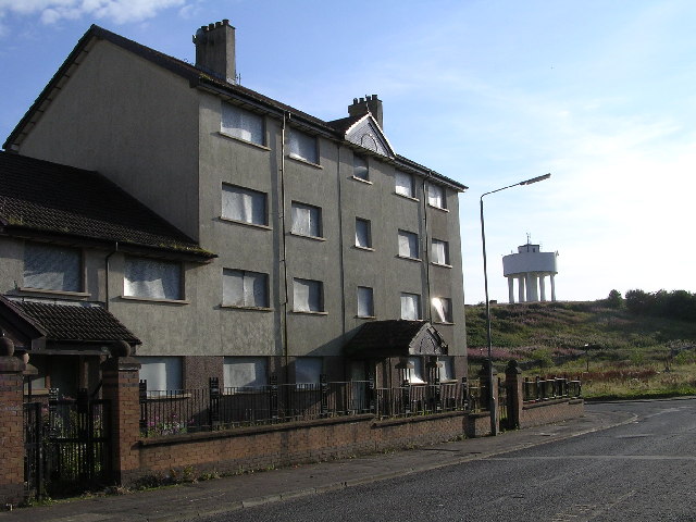
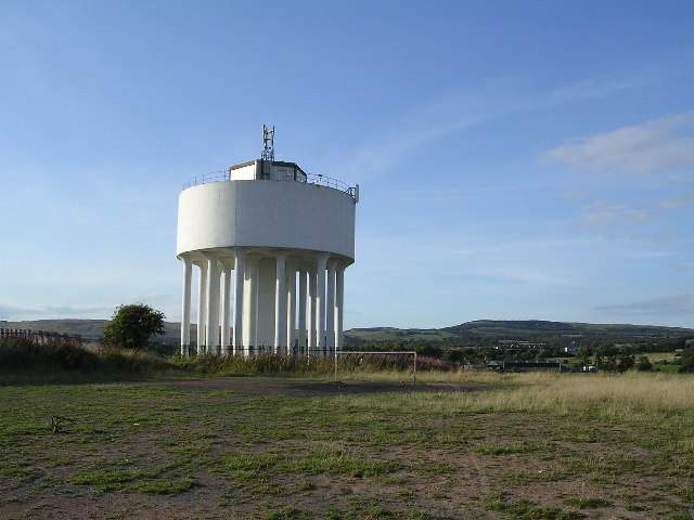
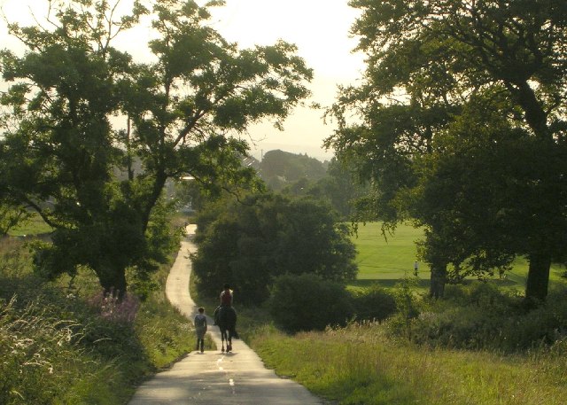
Images are sourced within 2km of 55.923683/-4.3769932 or Grid Reference NS5172. Thanks to Geograph Open Source API. All images are credited.

Electrical sub station
Drumchapel Job Centre One of the areas in Glasgow with highest unemployment
Drumchapel Job Centre
One of the areas in Glasgow with highest unemployment
Drumchapel Shopping Centre
Drumchapel Library
Drumchapel Library
Boarded-up Housing and Water Tower, Drumchapel In Drumchapel there is a strange juxtaposition of new-build private housing and boarded-up council properties.
Boarded-up Housing and Water Tower, Drumchapel
In Drumchapel there is a strange juxtaposition of new-build private housing and boarded-up council properties.
Broken Glass and Trees Smashed Buckfast bottles glinting in the evening sunlight above Drumchapel
Broken Glass and Trees
Smashed Buckfast bottles glinting in the evening sunlight above Drumchapel
Drumchapel Water Tower
Youths smashing up a burnt out car Near to Cleddans Burn. All part of the rich urban tapestry of Glasgow. I think they took the "Burn" part too literally.
Youths smashing up a burnt out car
Near to Cleddans Burn. All part of the rich urban tapestry of Glasgow. I think they took the "Burn" part too literally.
Wild Grasses and Tower Blocks Wild grasses beside Cleddans Burn. Drumry tower blocks in the background.
Wild Grasses and Tower Blocks
Wild grasses beside Cleddans Burn. Drumry tower blocks in the background.
Cleddans Burn
Cleddans Burn
World of Golf Golf practice range
World of Golf
Golf practice range
Water Tower plus Horse
Stirling Drive, Bearsden One of the posher areas of Glasgow
Stirling Drive, Bearsden
One of the posher areas of Glasgow
Clydebank and District Golf Club, Hardgate
Country Lane beside Golf Course This lane follows the line of the old Roman Antonine Wall
Country Lane beside Golf Course
This lane follows the line of the old Roman Antonine Wall
On Hutcheson Hill Looking towards Castle Hill - site of an old Roman Fort. Both of these hills lie on the line of the old Antonine Wall.
On Hutcheson Hill
Looking towards Castle Hill - site of an old Roman Fort. Both of these hills lie on the line of the old Antonine Wall.
Hutcheson Hill Looking south west
Hutcheson Hill
Looking south west
Garscadden Wood Unspoilt mature woodland a stone's throw from Drumchapel
Garscadden Wood
Unspoilt mature woodland a stone's throw from Drumchapel
Show me another place!

Hutcheson Hill is located at Grid Ref: NS5172 (Lat: 55.923683, Lng: -4.3769932)

Unitary Authority: East Dunbartonshire

Police Authority: Greater Glasgow

What 3 Words

///score.micro.mouth. Near Faifley, West Dunbartonshire

Nearby Locations

Hutcheson Hill

Related Wikis

Castlehill Fort

Castlehill was a Roman fort on the Antonine Wall in Scotland. == Location == The fort is located in East Dunbartonshire, west of Bearsden and east of Duntocher...

Faifley

Faifley (Scottish Gaelic: Fionn Bhealach, IPA:[ˈfjuːn̴̪ˈvɛɫ̪əx]) is a large estate forming part of the town of Clydebank, Scotland, adjoining the former...

Garscadden Wood

Garscadden Wood lies to the north of Drumchapel on the outskirts of Glasgow, Scotland. It is known locally as the Bluebell Woods. The wood can be accessed...

Hardgate

Hardgate is a village in West Dunbartonshire, Scotland. Hardgate has probably been settled since neolithic times with a burial site at Knappers Farm, a...

Nearby Amenities

Located within 500m of 55.923683,-4.3769932
Ford: yes
Source: OS_OpenData_StreetView
Lat/Long: 55.9208822/-4.3793109
Power: tower
Lat/Long: 55.9238605/-4.3744113
Power: tower
Lat/Long: 55.9240661/-4.3734206
Power: tower
Lat/Long: 55.9229918/-4.3707443
Power: tower
Lat/Long: 55.927392/-4.37718
Bus Stop
Bearsden, Opp Baljaffray Road On Duntocher Road
Bench: no
Bin: no
Bus: yes
Departures Board: timetable
Public Transport: platform
Shelter: no
Lat/Long: 55.9269951/-4.3724731
Bus Stop
Bearsden, Before Baljaffray Road On Duntocher Road
Bench: no
Bin: no
Bus: yes
Departures Board: timetable
Public Transport: platform
Shelter: no
Tactile Paving: yes
Lat/Long: 55.9275594/-4.3734591
Give Way
Direction: forward
Lat/Long: 55.9274003/-4.372633
Give Way
Direction: forward
Lat/Long: 55.9274265/-4.3731427
Give Way
Direction: forward
Lat/Long: 55.9271289/-4.3727204
The data included in this document is from www.openstreetmap.org. The data is made available under ODbL.

Have you been to Hutcheson Hill?

Leave your review of Hutcheson Hill below (or comments, questions and feedback).