Cairnsgarroch
Hill, Mountain in Kirkcudbrightshire
Scotland
Cairnsgarroch
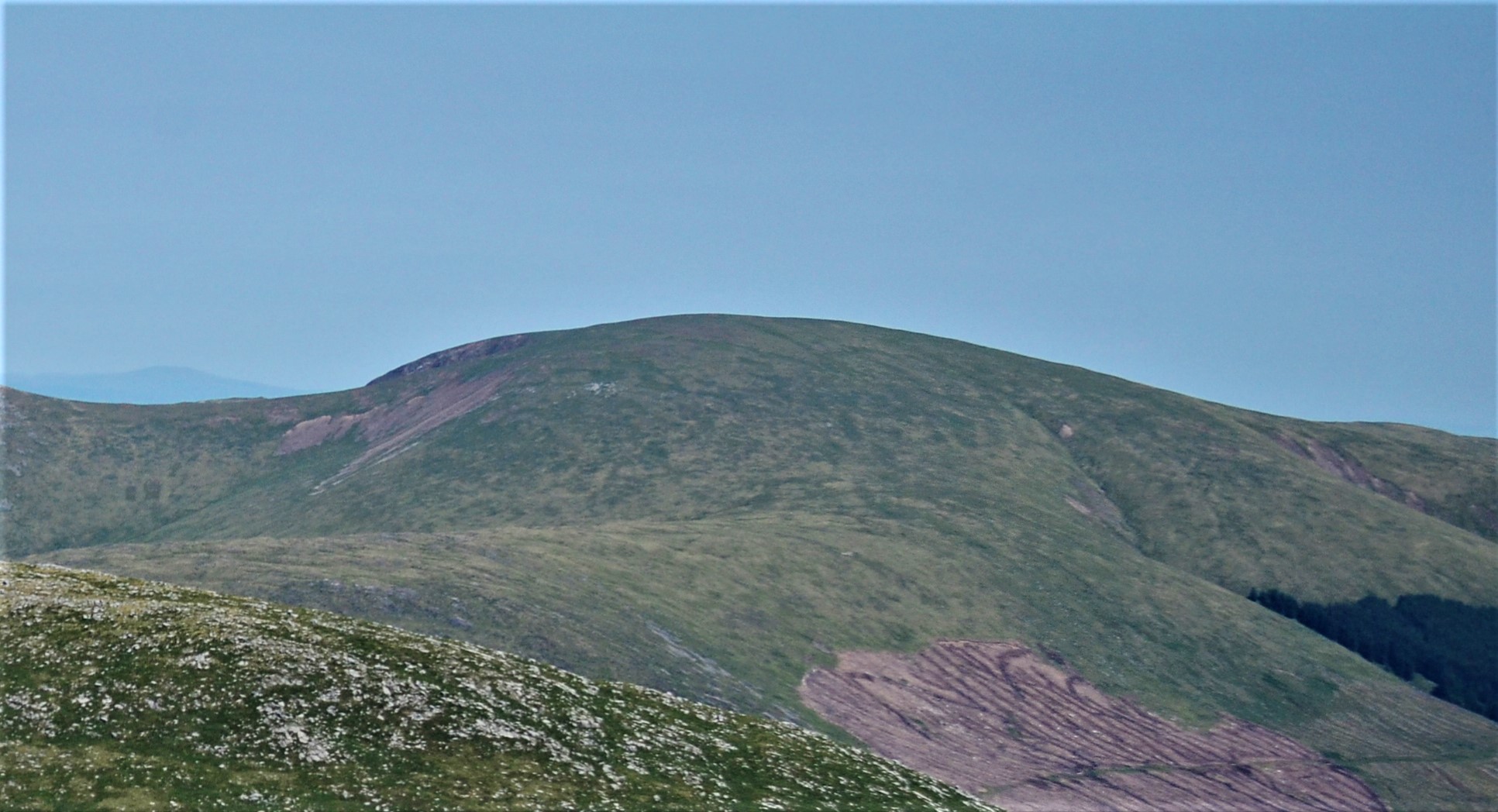
Cairnsgarroch is a prominent hill located in the region of Kirkcudbrightshire in southwestern Scotland. This hill, also referred to as Cairnsgarroch Hill or Cairnsgarroch Mountain, rises to a height of approximately 486 meters (1595 feet) above sea level. It is situated near the village of Carsluith, about 6 kilometers (3.7 miles) northeast of the town of Creetown.
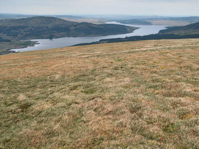
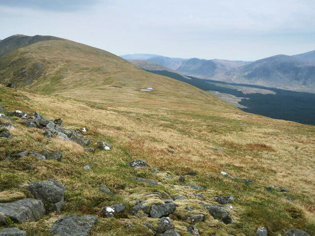
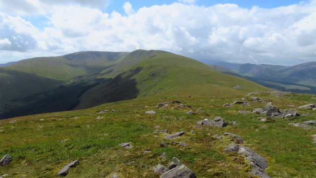
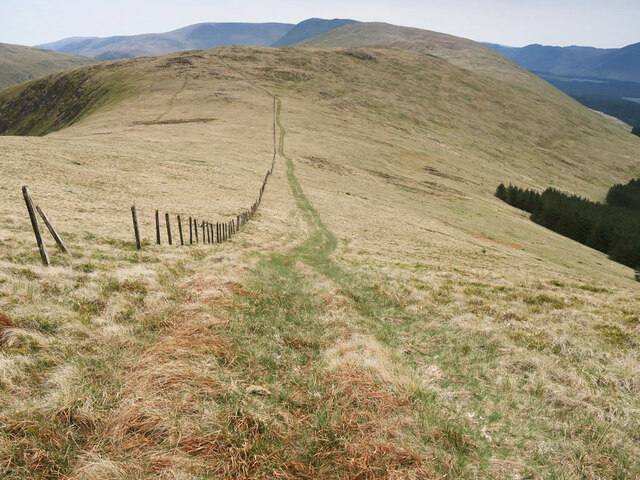
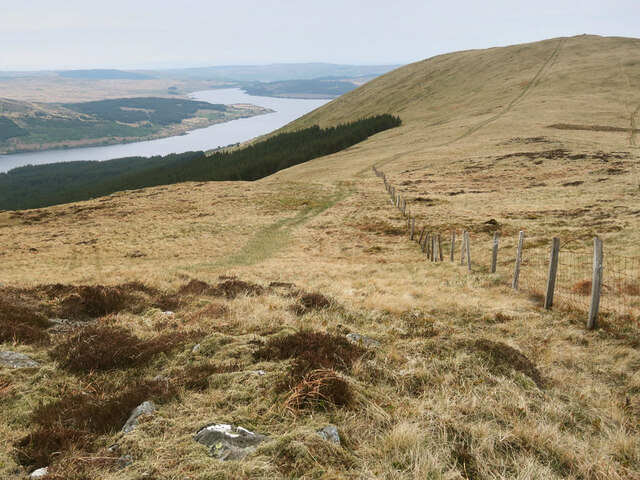
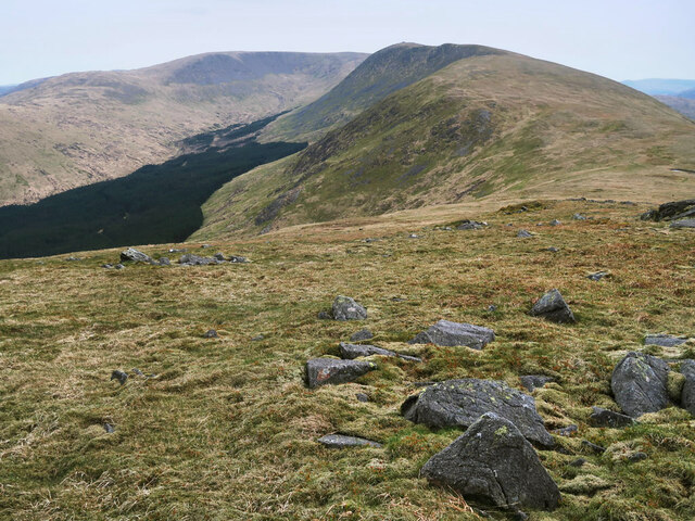
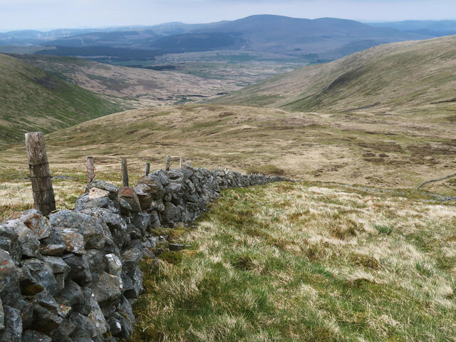
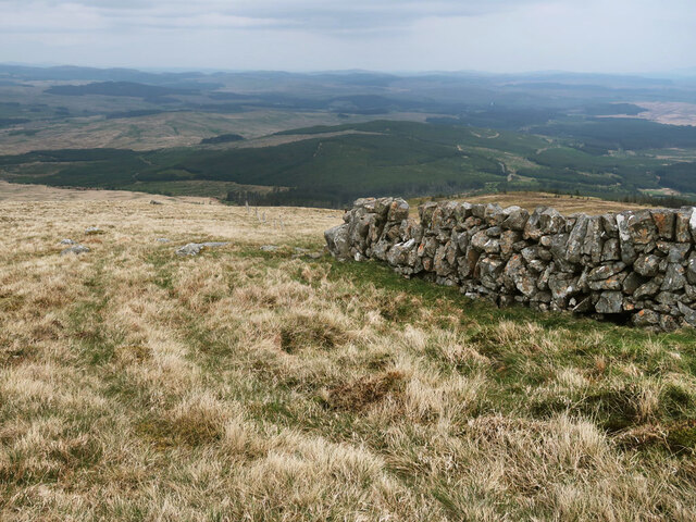
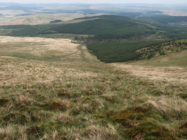
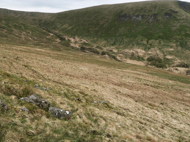
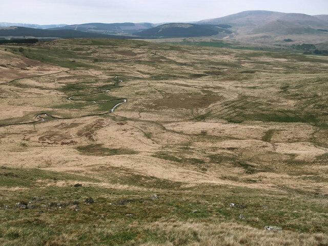
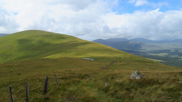
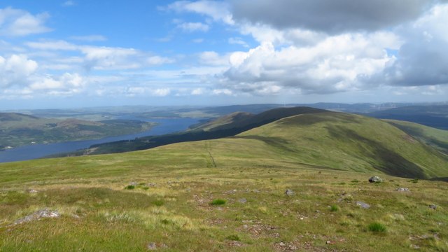
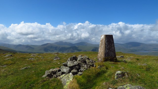
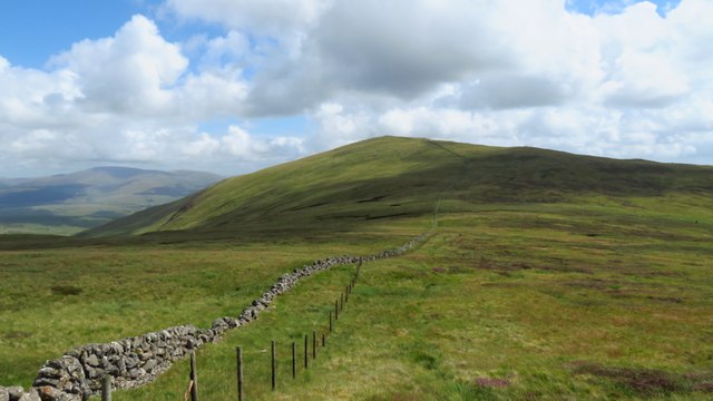
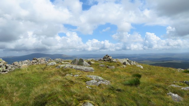
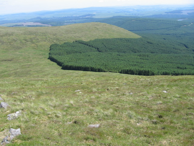
Cairnsgarroch offers breathtaking panoramic views of the surrounding countryside, with its slopes covered in lush greenery and heather, providing a picturesque scene. The hill is part of the Galloway Forest Park, which is known for its stunning landscapes and diverse wildlife.
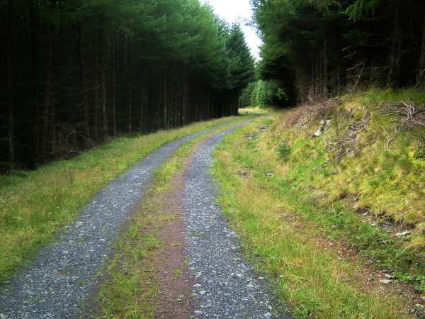
The summit of Cairnsgarroch is easily accessible by a well-defined footpath that starts from the nearby A75 road. Hikers and nature enthusiasts are drawn to this hill due to its natural beauty and the opportunity to spot various species of birds, including peregrine falcons and buzzards, as well as red deer and other wildlife.
The area around Cairnsgarroch also holds historical significance, with ancient cairns and burial sites located nearby. These ancient remnants add an additional layer of interest for those exploring the hill.
Overall, Cairnsgarroch is a remarkable natural feature in Kirkcudbrightshire, providing visitors with stunning vistas, a chance to engage with nature, and a glimpse into the area's historical past.
If you have any feedback on the listing, please let us know in the comments section below.
Cairnsgarroch Images
Images are sourced within 2km of 55.19413/-4.3335474 or Grid Reference NX5191. Thanks to Geograph Open Source API. All images are credited.
Cairnsgarroch is located at Grid Ref: NX5191 (Lat: 55.19413, Lng: -4.3335474)
Unitary Authority: Dumfries and Galloway
Police Authority: Dumfries and Galloway
What 3 Words
///choice.minder.heightens. Near Bellsbank, East Ayrshire
Nearby Locations
Related Wikis

Loch Doon Castle
Loch Doon Castle was a castle that was located on an island within Loch Doon, Scotland. The original site and the relocated remains are designated as scheduled...

Rhinns of Kells
The Rhinns of Kells are a range of hills in the Galloway Hills range, part of the Southern Uplands of Scotland. The most easterly of three parallel ridges...
Corserine
Corserine is a hill in the Rhinns of Kells, a sub-range of the Galloway Hills range, part of the Southern Uplands of Scotland. The highest point of the...

Carsphairn
Carsphairn (Scottish Gaelic: An Còrsa Feàrna) is a village in the historic county of Kirkcudbrightshire in Dumfries and Galloway, Scotland. It is located...
Nearby Amenities
Located within 500m of 55.19413,-4.3335474Have you been to Cairnsgarroch?
Leave your review of Cairnsgarroch below (or comments, questions and feedback).