Bryn Hywel

Hill, Mountain in Caernarfonshire

Wales

Bryn Hywel

Field near Beudy Mawr farm Looking across the Afon Dwyfor.
Field near Beudy Mawr farm Credit: David Medcalf

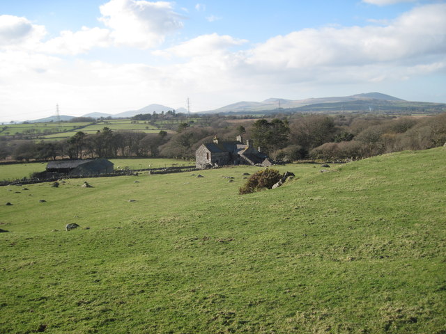
Bryn Hywel is a prominent hill located in the county of Caernarfonshire, Wales. It stands at an elevation of approximately 405 meters (1,328 feet) above sea level, making it a notable landmark in the region. The hill is situated in a rural area, surrounded by picturesque countryside, and offers breathtaking views of the surrounding landscape.

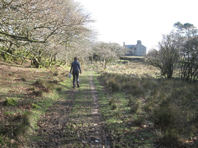
Bryn Hywel is characterized by its steep slopes and rugged terrain, which is largely covered in grass and heather. It is a popular destination for hikers and nature enthusiasts, who are attracted to its challenging trails and the opportunity to explore the diverse flora and fauna that inhabit the area. The hill is also home to a variety of bird species, making it an excellent spot for birdwatching.

The summit of Bryn Hywel provides panoramic views of the nearby Snowdonia National Park, including the iconic peaks of Snowdon and Glyderau. On a clear day, visitors can also catch a glimpse of the Menai Strait and the Isle of Anglesey to the northwest.

Access to Bryn Hywel is relatively straightforward, with several footpaths leading up the hill from nearby villages. The hill is also easily accessible by road, with parking facilities available in the vicinity. Whether it's for a leisurely walk or a more challenging hike, Bryn Hywel offers a rewarding experience for those seeking to immerse themselves in the natural beauty of Caernarfonshire.

If you have any feedback on the listing, please let us know in the comments section below.
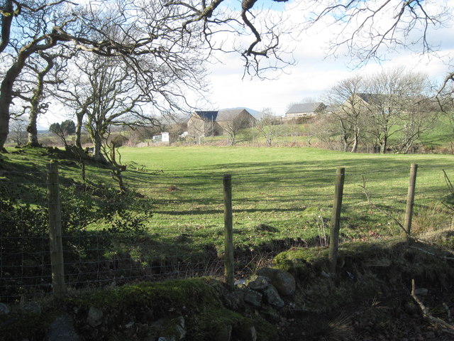
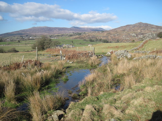
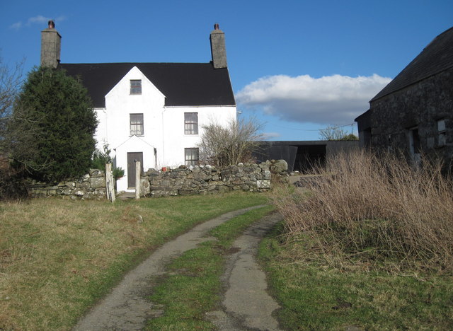
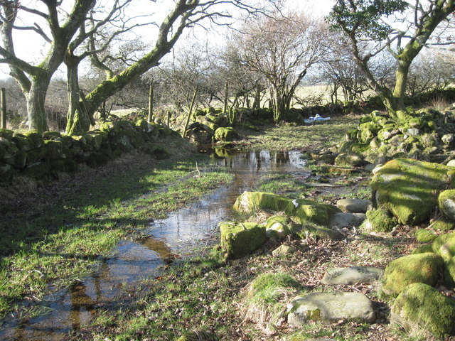
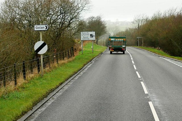
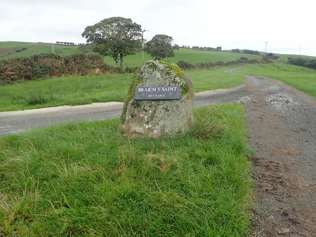
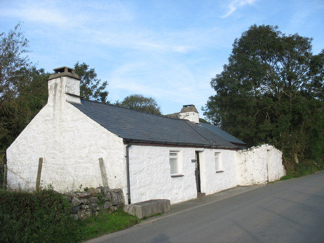
Bryn Hywel Images

Images are sourced within 2km of 52.952729/-4.211534 or Grid Reference SH5141. Thanks to Geograph Open Source API. All images are credited.

Field near Beudy Mawr farm Looking across the Afon Dwyfor.
Field near Beudy Mawr farm
Looking across the Afon Dwyfor.
Boggy track near Ystumcegid Farm
Ystumcegid Farm
Ystumcegid Farm
Boggy track near Ystum-cegid-ganol
The track to Ystum-cegid-ganol
Field near Ystum-cegid-ganol
Hawthorn near the path to the Burial Chamber near Ystumcegid-isaf
Spider silk near Ystumcegid-isaf A lot of spiders were flying (ballooning) through the air, when we visited the burial chamber.
Spider silk near Ystumcegid-isaf
A lot of spiders were flying (ballooning) through the air, when we visited the burial chamber.
Golan Community Centre
Dolbenmaen, Gwynedd Pasture land in the vicinity of Dolbenmaen, the peak of Craig-y-garn can be seen in the distance.
Dolbenmaen, Gwynedd
Pasture land in the vicinity of Dolbenmaen, the peak of Craig-y-garn can be seen in the distance.
Service Bus on the A487 Trans Cymru Optare Metrocity YJ16 DYT on the T2 service towards Porthmadog.
Service Bus on the A487
Trans Cymru Optare Metrocity YJ16 DYT on the T2 service towards Porthmadog.
A487 northwest of Penmorfa The A487 is one of the most important roads in Wales. It covers the majority of the west coast from St Davids to Menai Bridge, and is a primary route for most of its length, including a section where it multiplexes with the A470, another important north-south road. Along the way, it runs through two national parks: Snowdonia and Pembrokeshire Coast. Despite its length and importance, it is predominantly single carriageway, although the road has been upgraded in numerous places. It is 174 miles long.
<span class="nowrap"><a title="http://www.sabre-roads.org.uk/wiki/index.php?title=A487" rel="nofollow ugc noopener" href="http://www.sabre-roads.org.uk/wiki/index.php?title=A487">Link</a><img style="margin-left:2px;" alt="External link" title="External link - shift click to open in new window" src="https://s1.geograph.org.uk/img/external.png" width="10" height="10"/></span>
A487 northwest of Penmorfa
The A487 is one of the most important roads in Wales. It covers the majority of the west coast from St Davids to Menai Bridge, and is a primary route for most of its length, including a section where it multiplexes with the A470, another important north-south road. Along the way, it runs through two national parks: Snowdonia and Pembrokeshire Coast. Despite its length and importance, it is predominantly single carriageway, although the road has been upgraded in numerous places. It is 174 miles long. LinkExternal link
A487 near Golan The A487 is one of the most important roads in Wales. It covers the majority of the west coast from St Davids to Menai Bridge, and is a primary route for most of its length, including a section where it multiplexes with the A470, another important north-south road. Along the way, it runs through two national parks: Snowdonia and Pembrokeshire Coast. Despite its length and importance, it is predominantly single carriageway, although the road has been upgraded in numerous places. It is 174 miles long.
<span class="nowrap"><a title="http://www.sabre-roads.org.uk/wiki/index.php?title=A487" rel="nofollow ugc noopener" href="http://www.sabre-roads.org.uk/wiki/index.php?title=A487">Link</a><img style="margin-left:2px;" alt="External link" title="External link - shift click to open in new window" src="https://s1.geograph.org.uk/img/external.png" width="10" height="10"/></span>
A487 near Golan
The A487 is one of the most important roads in Wales. It covers the majority of the west coast from St Davids to Menai Bridge, and is a primary route for most of its length, including a section where it multiplexes with the A470, another important north-south road. Along the way, it runs through two national parks: Snowdonia and Pembrokeshire Coast. Despite its length and importance, it is predominantly single carriageway, although the road has been upgraded in numerous places. It is 174 miles long. LinkExternal link
A487 Dolbenmaen The A487 is one of the most important roads in Wales. It covers the majority of the west coast from St Davids to Menai Bridge, and is a primary route for most of its length, including a section where it multiplexes with the A470, another important north-south road. Along the way, it runs through two national parks: Snowdonia and Pembrokeshire Coast. Despite its length and importance, it is predominantly single carriageway, although the road has been upgraded in numerous places. It is 174 miles long.
<span class="nowrap"><a title="http://www.sabre-roads.org.uk/wiki/index.php?title=A487" rel="nofollow ugc noopener" href="http://www.sabre-roads.org.uk/wiki/index.php?title=A487">Link</a><img style="margin-left:2px;" alt="External link" title="External link - shift click to open in new window" src="https://s1.geograph.org.uk/img/external.png" width="10" height="10"/></span>
A487 Dolbenmaen
The A487 is one of the most important roads in Wales. It covers the majority of the west coast from St Davids to Menai Bridge, and is a primary route for most of its length, including a section where it multiplexes with the A470, another important north-south road. Along the way, it runs through two national parks: Snowdonia and Pembrokeshire Coast. Despite its length and importance, it is predominantly single carriageway, although the road has been upgraded in numerous places. It is 174 miles long. LinkExternal link
A487 near Dolbenmaen The A487 is one of the most important roads in Wales. It covers the majority of the west coast from St Davids to Menai Bridge, and is a primary route for most of its length, including a section where it multiplexes with the A470, another important north-south road. Along the way, it runs through two national parks: Snowdonia and Pembrokeshire Coast. Despite its length and importance, it is predominantly single carriageway, although the road has been upgraded in numerous places. It is 174 miles long.
<span class="nowrap"><a title="http://www.sabre-roads.org.uk/wiki/index.php?title=A487" rel="nofollow ugc noopener" href="http://www.sabre-roads.org.uk/wiki/index.php?title=A487">Link</a><img style="margin-left:2px;" alt="External link" title="External link - shift click to open in new window" src="https://s1.geograph.org.uk/img/external.png" width="10" height="10"/></span>
A487 near Dolbenmaen
The A487 is one of the most important roads in Wales. It covers the majority of the west coast from St Davids to Menai Bridge, and is a primary route for most of its length, including a section where it multiplexes with the A470, another important north-south road. Along the way, it runs through two national parks: Snowdonia and Pembrokeshire Coast. Despite its length and importance, it is predominantly single carriageway, although the road has been upgraded in numerous places. It is 174 miles long. LinkExternal link
Lane to Braich-y-Saint barns
Entrance to Braich y Saint Farm The farm is down a lane to the left
Entrance to Braich y Saint Farm
The farm is down a lane to the left
Communications mast at Braich y Llyn
Show me another place!

Bryn Hywel is located at Grid Ref: SH5141 (Lat: 52.952729, Lng: -4.211534)

Unitary Authority: Gwynedd

Police Authority: North Wales

What 3 Words

///bedroom.snowboard.inhaler. Near Criccieth, Gwynedd

Nearby Locations

Bryn Hywel

Related Wikis

Dolbenmaen

Dolbenmaen () is a village and community in the Welsh county of Gwynedd, located in Eifionydd, of which it was the administrative centre until 1239. The...

Cwm Pennant Fault

The Cwm Pennant Fault is a SSW-NNE trending normal fault system in North Wales. It forms part of the structures that bound the Snowdon graben. The main...

Garndolbenmaen

Garndolbenmaen, known colloquially as Garn, is a village in the county of Gwynedd, Wales. It lies near the A487, approximately 6 miles (10 km) north west...

St Beuno's Church, Penmorfa

St Beuno's Church, Penmorfa, is a redundant church near the settlement of Penmorfa, some 2 miles (3 km) to the northwest of Porthmadog, Gwynedd, Wales...

Nearby Amenities

Located within 500m of 52.952729,-4.211534
Bryn Hywel
Ele: 159
Natural: peak
Lat/Long: 52.9526411/-4.2115783
Direction: SSW
Generator Method: photovoltaic
Generator Output Electricity: yes
Generator Solar Modules: 16
Generator Source: solar
Generator Type: solar_photovoltaic_panel
Location: roof
Power: generator
Lat/Long: 52.9516623/-4.215652
The data included in this document is from www.openstreetmap.org. The data is made available under ODbL.

Have you been to Bryn Hywel?

Leave your review of Bryn Hywel below (or comments, questions and feedback).