Moel Tryfan
Hill, Mountain in Caernarfonshire
Wales
Moel Tryfan

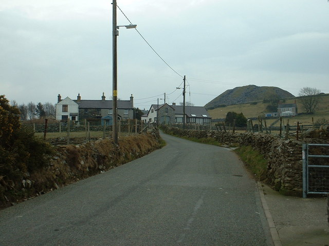
Moel Tryfan is a prominent hill located in the county of Caernarfonshire in Wales. Standing at an elevation of 558 meters (1,831 feet), it offers breathtaking views of the surrounding landscapes and is a popular destination for outdoor enthusiasts and hikers.
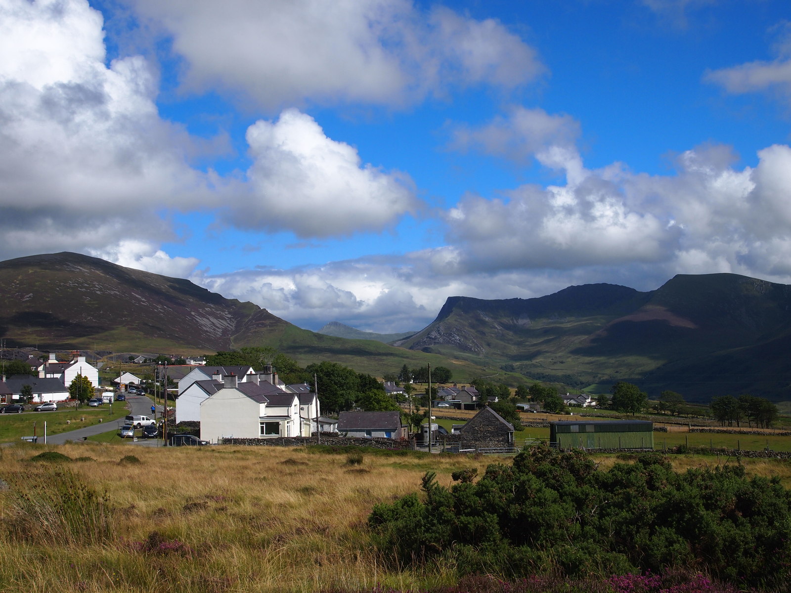
Situated in the Snowdonia National Park, Moel Tryfan is known for its rugged beauty and challenging terrain. The hill is made up of rocky slopes and grassy ridges, providing a diverse and exciting experience for those who choose to explore it. The summit offers panoramic views of the surrounding mountains, including the famous Snowdon, the highest peak in Wales.
The ascent to the summit of Moel Tryfan can be accessed from various points, with the most popular route starting from the village of Rhyd Ddu. This route takes hikers along a well-marked trail, which gradually increases in steepness as it approaches the peak. Along the way, visitors can enjoy the stunning scenery, including cascading waterfalls, lush valleys, and the picturesque Beddgelert Forest.
Moel Tryfan is also rich in natural and cultural heritage. The hill is home to a variety of plant and animal species, including heather, bilberry, and mountain hare. It is also steeped in history, with remnants of ancient settlements and stone circles scattered throughout the area, offering a glimpse into the region's past.
Overall, Moel Tryfan is a captivating destination that showcases the beauty and diversity of the Welsh countryside. Whether it's for a challenging hike or simply to enjoy the tranquil surroundings, this hill is a must-visit for nature lovers and adventure seekers alike.
If you have any feedback on the listing, please let us know in the comments section below.
Moel Tryfan Images
Images are sourced within 2km of 53.082255/-4.2182005 or Grid Reference SH5156. Thanks to Geograph Open Source API. All images are credited.

![Rough grazing between Cae Haidd Bach and Cae Haidd Mawr Barley fields no longer! [the Welsh house name 'cae haidd' translates as 'barley field' in English]](https://s0.geograph.org.uk/geophotos/06/24/81/6248156_278d9fe6.jpg)


![Dam of a former reservoir near Bryngwyn station [land side] The reservoir was built between 1899 and 1913 and was still present in 1948. It held the water of a spring-fed tributary of Afon Llifon.](https://s0.geograph.org.uk/geophotos/06/24/94/6249420_d08192a9.jpg)
![Dam of a former reservoir near Bryngwyn station [water side] The reservoir was built between 1899 and 1913 and was still present in 1948. It held the water of a spring-fed tributary of Afon Llifon.](https://s0.geograph.org.uk/geophotos/06/24/94/6249424_20bad759.jpg)

![Bryngwyn Station [remains of] Most of the buildings on the local narrow gauge slate railways are built of large stones, with yellow bricks at the corners. This area is mapped as open access land, but locally marked as private. Bryngwyn station is at the foot of the Bryngwyn incline <a href="https://www.geograph.org.uk/photo/6248606">SH5055 : Looking up the Bryngwyn incline, near Glandwr</a>, where the slate wagons were transferred from cable to locomotive. The Bryngwyn branch opened in 1877. it closed to passengers in 1913 and completely in 1937.](https://s3.geograph.org.uk/geophotos/06/24/94/6249447_5469436a.jpg)


Moel Tryfan is located at Grid Ref: SH5156 (Lat: 53.082255, Lng: -4.2182005)
Unitary Authority: Gwynedd
Police Authority: North Wales
What 3 Words
///diamonds.provoking.spellings. Near Talysarn, Gwynedd
Nearby Locations
Related Wikis

Moel Tryfan
Moel Tryfan (429 m / 1407 ft) is a small mountain near the villages of Rhosgadfan, Y Fron and Betws Garmon, in northern Gwynedd. The higher and more famous...

Alexandra quarry
Alexandra quarry was a slate quarry in North Wales, on the slopes of Moel Tryfan in north Gwynedd. It was part of one of the major slate quarrying regions...
Bryngwyn railway station
Bryngwyn railway station is a former station which was the terminus for passengers on the Bryngwyn Branch of the North Wales Narrow Gauge Railways, and...
Rhosgadfan
Rhosgadfan is a Welsh village in the county of Gwynedd, formerly in the historic county of Caernarfonshire, and in the community of Llanwnda. It is notable...
Ysgol Bronyfoel
Ysgol Bronyfoel was a Welsh daily co-educational primary school. The school was situated in the centre of the village Y Fron, Gwynedd, North Wales. It...
Y Fron
Y Fron, also known locally as Cesarea, after the chapel, is a country village on the south-west side of Moel Tryfan, overlooking the Nantlle Valley, in...

Betws Garmon
Betws Garmon is a community and small hamlet outside Waunfawr and near Beddgelert in Gwynedd, Wales. It has a population of 249.The summit of Snowdon...
Carmel, Gwynedd
Carmel is a small village near Y Fron in Gwynedd, north-west Wales. The village is built up mainly of Victorian homes, with a more modern area. The village...
Nearby Amenities
Located within 500m of 53.082255,-4.2182005Have you been to Moel Tryfan?
Leave your review of Moel Tryfan below (or comments, questions and feedback).