Balne
Settlement in Yorkshire Selby
England
Balne

Balne is a small village located in the East Riding of Yorkshire, England. Situated approximately 5 miles east of the town of Selby, it is nestled in a rural setting surrounded by fields and farmland. Balne is part of the civil parish of Balne cum Yaddlethorpe, with Yaddlethorpe being its neighboring village.
Historically, Balne has a rich heritage dating back to the Domesday Book of 1086, where it was recorded as "Balue". The village's name is derived from the Old Norse word "boln" meaning "the settlement by the ridge". Over the centuries, Balne has primarily been an agricultural community, with farming being the main occupation of its residents.
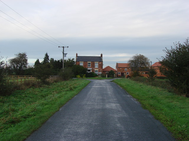
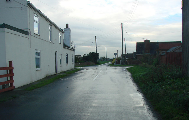
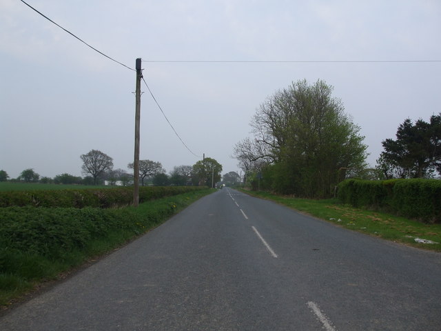
Today, Balne is a tranquil and picturesque village, boasting a small but close-knit community. It is characterized by its charming cottages, many of which are constructed from local red brick and feature traditional thatched roofs. The village is predominantly residential, with a scattering of farms and agricultural buildings in the surrounding area.
While Balne may be small in size, it offers a range of amenities for its residents. These include a village hall, a primary school, and a quaint, centuries-old parish church dedicated to All Saints. The village is also well-connected to neighboring towns and cities, with good road links providing easy access to Selby, Doncaster, and York.
In conclusion, Balne is a peaceful and picturesque village with a rich history and a strong sense of community. Its idyllic rural setting and range of amenities make it an attractive place to live for those seeking a tranquil lifestyle in the heart of the Yorkshire countryside.
If you have any feedback on the listing, please let us know in the comments section below.
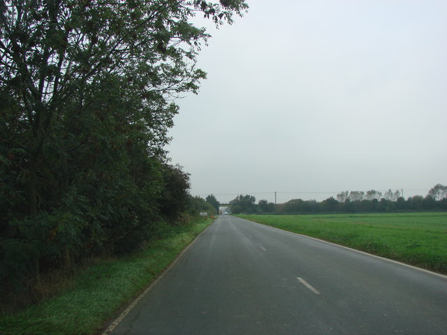
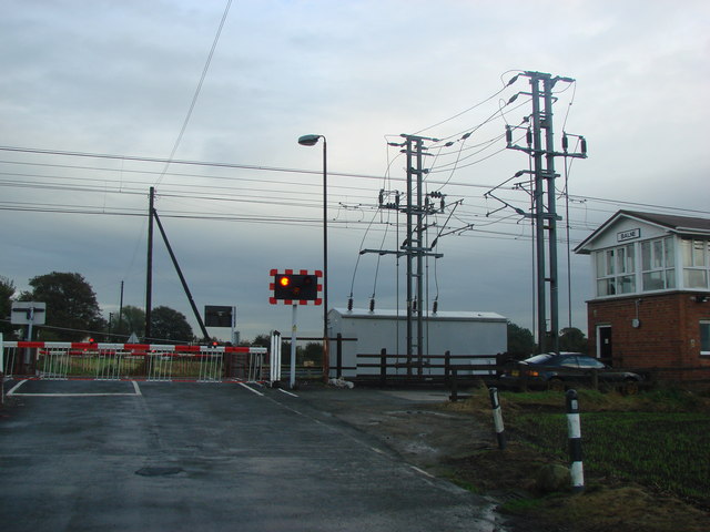
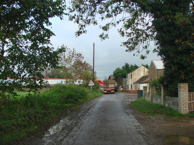
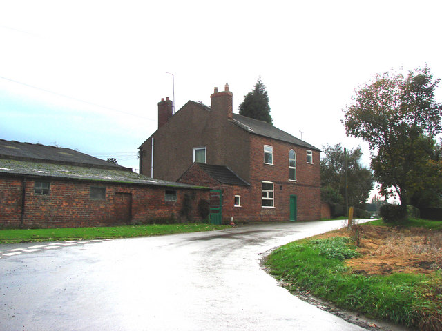
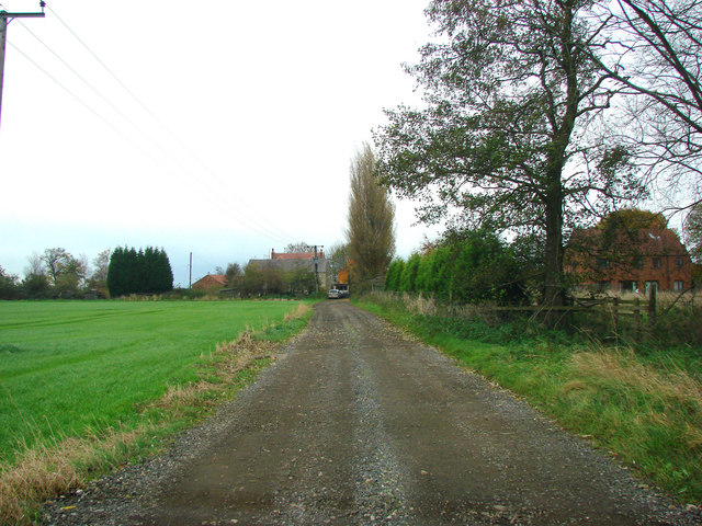
Balne Images
Images are sourced within 2km of 53.664557/-1.112886 or Grid Reference SE5819. Thanks to Geograph Open Source API. All images are credited.


Balne is located at Grid Ref: SE5819 (Lat: 53.664557, Lng: -1.112886)
Division: West Riding
Administrative County: North Yorkshire
District: Selby
Police Authority: North Yorkshire
What 3 Words
///marine.myself.narrating. Near Pollington, East Yorkshire
Nearby Locations
Related Wikis

Balne
Balne is a village and civil parish in the Selby District of North Yorkshire in England, south of Selby. According to the 2001 census the parish had a...

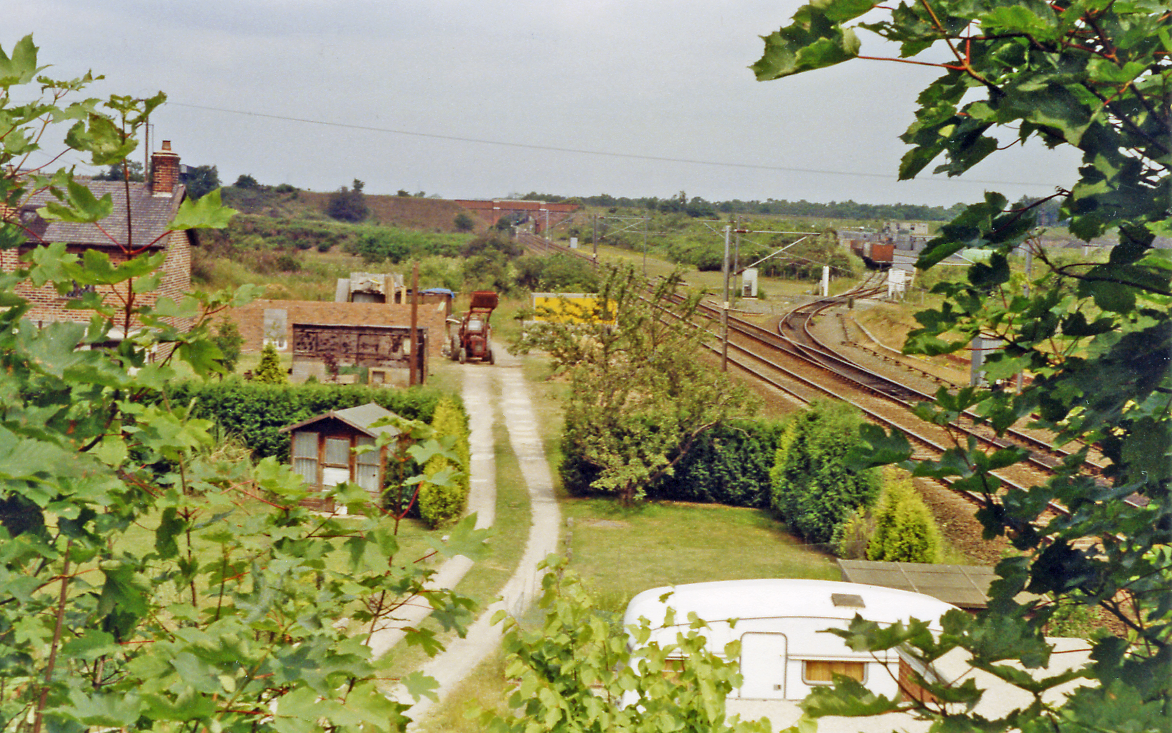
Balne railway station
Balne railway station served the village of Balne, North Yorkshire, England, from 1871 to 1964 on the East Coast Main Line. == History == The station...

Great Heck
Great Heck is a small village in Heck parish, about 7 miles (11 km) south of Selby, North Yorkshire, England. The population of the parish was 201 at the...

Heck, North Yorkshire
Heck is a civil parish in the English county of North Yorkshire. The population of this civil parish at the census 2011 was 201, a slight drop on the 2001...
Heck railway station
Heck railway station served the parish of Heck, North Yorkshire, England from 1871 to 1963 on the East Coast Main Line. == History == The station opened...
Pincheon Green
Pincheon Green is a hamlet in the Metropolitan Borough of Doncaster in South Yorkshire, England. It lies in the civil parish of Sykehouse, on the border...

RAF Snaith
Royal Air Force Snaith or RAF Snaith is a former Royal Air Force station which was located 7 miles (11 km) south west of Goole, Yorkshire, England and...

Selby rail crash
The Selby rail crash (also known as the Great Heck Rail Crash) was a high-speed rail crash that occurred at Great Heck near Selby, North Yorkshire, England...
Nearby Amenities
Located within 500m of 53.664557,-1.112886Have you been to Balne?
Leave your review of Balne below (or comments, questions and feedback).