Balne Moor
Downs, Moorland in Yorkshire Selby
England
Balne Moor

Balne Moor is a picturesque area located in the county of Yorkshire, England. Situated on the Downs, it is characterized by its vast and stunning moorland landscape. Covering an area of approximately X square kilometers, Balne Moor offers a unique and captivating natural environment.
The moorland of Balne Moor is known for its rolling hills, heather-covered expanses, and scattered patches of woodland. The terrain is predominantly flat, with occasional undulations, providing visitors with breathtaking panoramic views of the surrounding countryside. The area is home to a rich variety of flora and fauna, including heather, gorse, bilberry, and cotton grass, as well as numerous bird species such as curlews, lapwings, and skylarks.
Balne Moor is a popular destination for outdoor enthusiasts and nature lovers. Its extensive network of walking trails and paths allows visitors to explore the area at their own pace, taking in the serene beauty and tranquility of the moorland. The moor is also a haven for wildlife enthusiasts and birdwatchers, who can spot various rare and endangered species.
Aside from its natural beauty, Balne Moor is also steeped in history. Ancient burial mounds and stone circles can be found scattered throughout the moorland, offering a glimpse into the area's rich past. These archaeological sites provide a fascinating insight into the lives and traditions of the people who once inhabited the region.
In summary, Balne Moor is a captivating destination that showcases the breathtaking beauty of Yorkshire's Downs and moorland. Its vast expanse of rolling hills, diverse wildlife, and rich historical sites make it a must-visit location for those seeking a truly immersive natural experience.
If you have any feedback on the listing, please let us know in the comments section below.
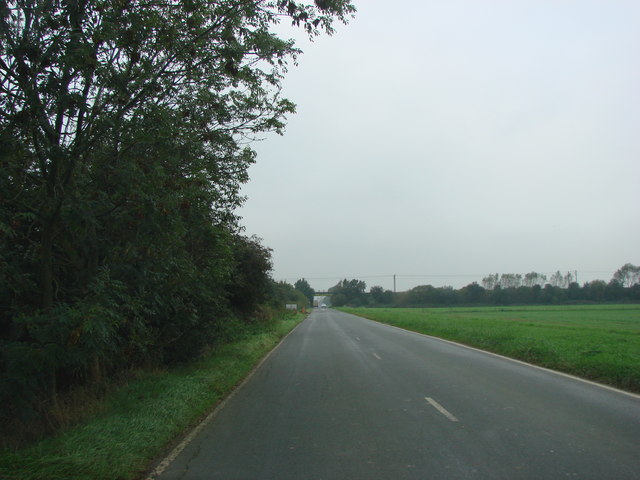
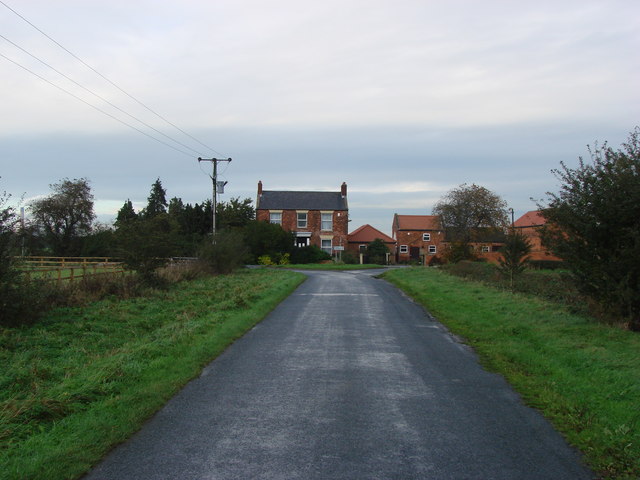
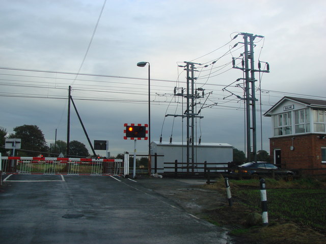
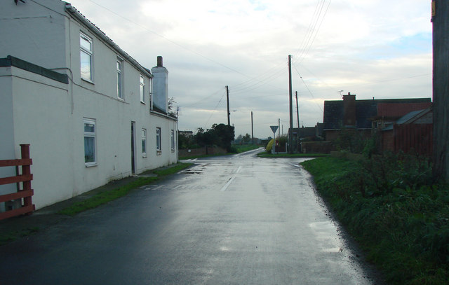
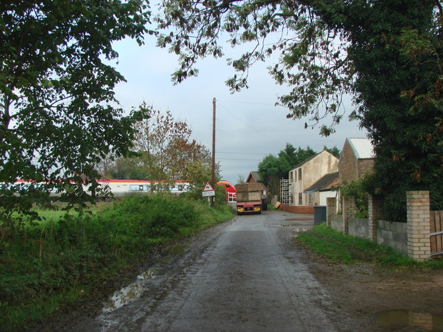
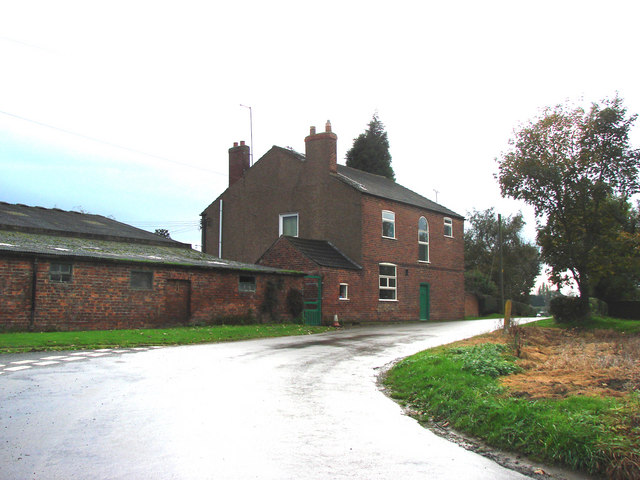
Balne Moor Images
Images are sourced within 2km of 53.668223/-1.1117942 or Grid Reference SE5819. Thanks to Geograph Open Source API. All images are credited.


Balne Moor is located at Grid Ref: SE5819 (Lat: 53.668223, Lng: -1.1117942)
Division: West Riding
Administrative County: North Yorkshire
District: Selby
Police Authority: North Yorkshire
What 3 Words
///nibbles.decrease.connected. Near Pollington, East Yorkshire
Nearby Locations
Related Wikis

Balne
Balne is a village and civil parish in the Selby District of North Yorkshire in England, south of Selby. According to the 2001 census the parish had a...

Balne railway station
Balne railway station served the village of Balne, North Yorkshire, England, from 1871 to 1964 on the East Coast Main Line. == History == The station...

Great Heck
Great Heck is a small village in Heck parish, about 7 miles (11 km) south of Selby, North Yorkshire, England. The population of the parish was 201 at the...

Heck, North Yorkshire
Heck is a civil parish in the English county of North Yorkshire. The population of this civil parish at the census 2011 was 201, a slight drop on the 2001...
Have you been to Balne Moor?
Leave your review of Balne Moor below (or comments, questions and feedback).