Arndrum
Hill, Mountain in Perthshire
Scotland
Arndrum

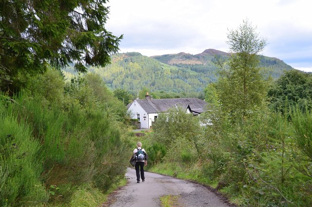
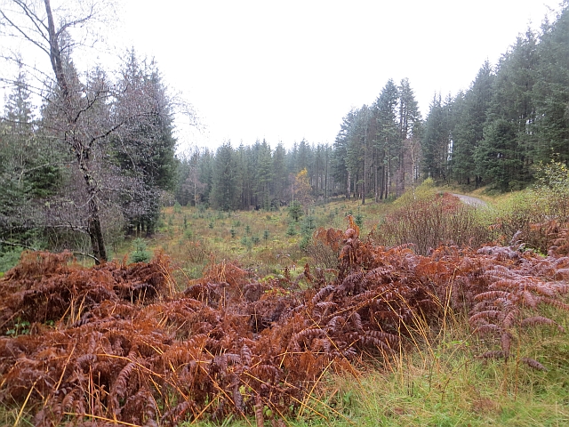
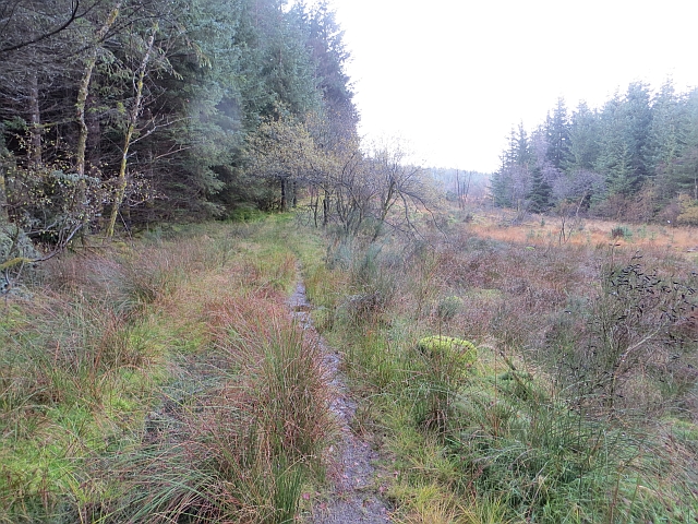
Arndrum is a prominent hill located in the rural area of Perthshire, Scotland. Standing at an impressive height of 736 meters (2414 feet), it is often referred to as Arndrum Hill or Arndrum Mountain due to its significant elevation. The hill is situated within the picturesque countryside, providing breathtaking views of the surrounding landscape.
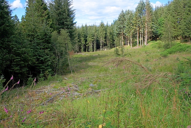
Arndrum is characterized by its distinct shape and steep slopes, making it a popular destination for outdoor enthusiasts and hikers. Its rocky terrain offers a challenging yet rewarding ascent for those looking to explore its summit. From the top, visitors are rewarded with panoramic vistas of the surrounding area, including the lush green valleys and rolling hills that define Perthshire.
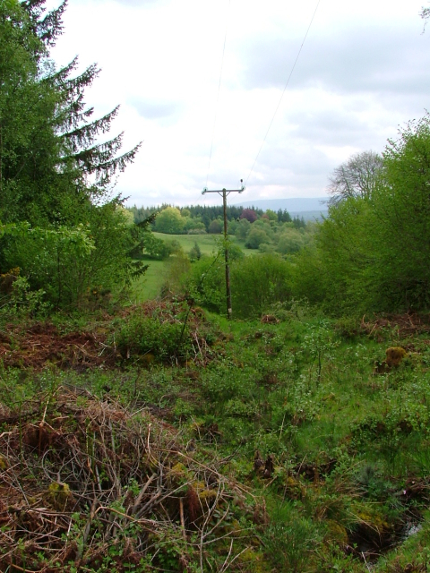
The hill is also home to a diverse range of flora and fauna, with various plant species thriving in its vicinity. It is not uncommon to spot wildlife such as red deer, birds of prey, and other small mammals during a hike.
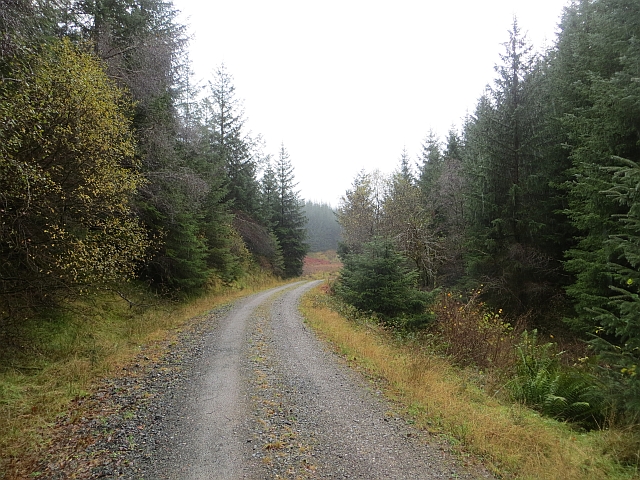
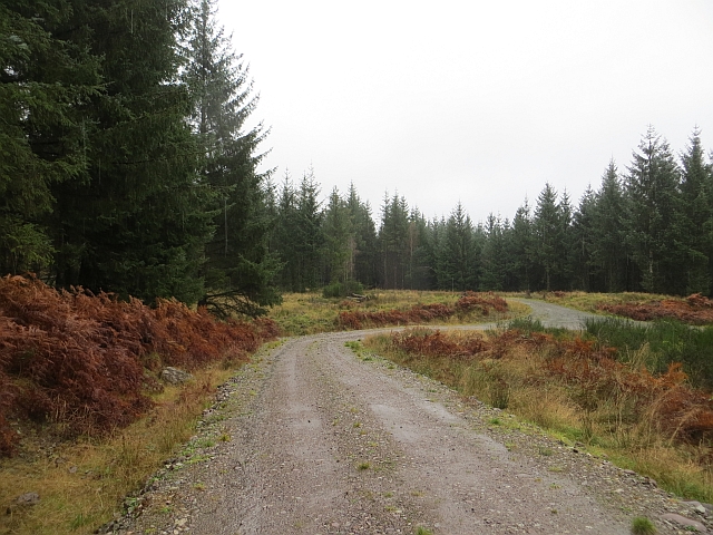
Access to Arndrum is relatively straightforward, with several well-marked trails leading to its summit. The hill is located in close proximity to nearby villages and towns, offering visitors the opportunity to explore the charming local communities and experience traditional Scottish hospitality.
Arndrum is a captivating natural landmark in Perthshire, providing a unique opportunity for outdoor enthusiasts to appreciate the beauty of the Scottish countryside and immerse themselves in its serene surroundings.
If you have any feedback on the listing, please let us know in the comments section below.
Arndrum Images
Images are sourced within 2km of 56.15807/-4.4139693 or Grid Reference NS5098. Thanks to Geograph Open Source API. All images are credited.


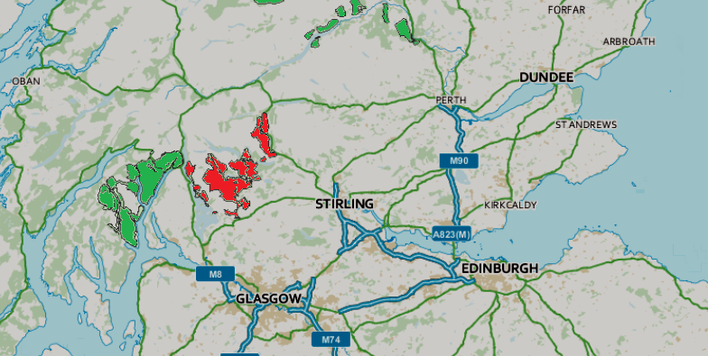
Arndrum is located at Grid Ref: NS5098 (Lat: 56.15807, Lng: -4.4139693)
Unitary Authority: Stirling
Police Authority: Forth Valley
What 3 Words
///snowy.central.tonsils. Near Balfron, Stirling
Nearby Locations
Related Wikis

Cunninghame Graham Memorial
The Cunninghame Graham Memorial is a stone monument dedicated to the memory of 'Don Roberto' Robert Bontine Cunninghame Graham (1852–1936) 15th of Gartmore...

Duchray Water
Duchray Water, also called Dachray Water, is a 14-mile-long (23 km) headstream of the River Forth in the Trossachs region of Scotland. == Location == Duchray...

Gartmore
Gartmore (Scottish Gaelic An Gart Mòr) is a village in the Stirling council area, Scotland. It is a village with a view of the Wallace Monument in Stirling...
Queen Elizabeth Forest Park
Queen Elizabeth Forest Park is a 19,665-hectare (48,590-acre) forest park in the Scottish Highlands which extends from the eastern shores of Loch Lomond...

Aberfoyle railway station
Aberfoyle railway station served the village of Aberfoyle in Scotland between 1882 and 1951. == History == The station was opened by the Strathendrick...

Milton, Stirling
Milton is a hamlet in Stirling, Scotland near Aberfoyle situated above the River Forth. In 1961 it had a population of 98. Most pupils attend Aberfoyle...
Aberfoyle, Stirling
Aberfoyle (Scottish Gaelic: Obar Phuill) is a village in the historic county and registration county of Perthshire and the council area of Stirling, Scotland...

Gartmore House
Gartmore House is a country house and estate in the village of Gartmore, Stirling, Scotland. It was built in the mid-18th century for the Graham family...
Have you been to Arndrum?
Leave your review of Arndrum below (or comments, questions and feedback).