Duncarnock

Hill, Mountain in Renfrewshire

Scotland

Duncarnock

Old Dam, South Craigton The Walton Burn was used to create this small disused reservoir.
Old Dam, South Craigton Credit: wfmillar

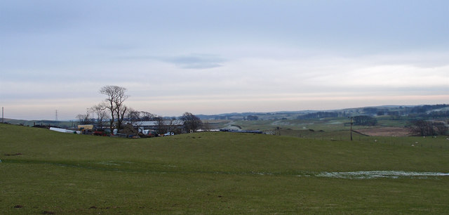
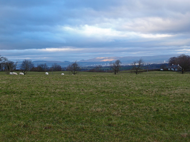
Duncarnock is a prominent hill located in Renfrewshire, Scotland. With an elevation of around 272 meters (892 feet), it is considered one of the highest points in the area. Situated near the town of Kilbarchan, it offers breathtaking views of the surrounding countryside.

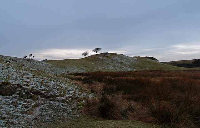
Duncarnock is characterized by its distinctive conical shape, which makes it easily recognizable. The hill is mainly composed of basalt, a volcanic rock formed during ancient volcanic activity in the region. This geological feature adds to the natural beauty of the landscape.

The area around Duncarnock is known for its rich biodiversity and is home to various plant and animal species. It is especially notable for its birdlife, attracting birdwatchers from near and far. The hill itself is covered in heather, grasses, and scattered trees, providing habitats for different wildlife species.

Duncarnock has a long history and is believed to have been used for various purposes throughout the centuries. It is thought to have been an important site during the Iron Age, with evidence of ancient settlements and fortifications. Today, it is a popular destination for outdoor enthusiasts who enjoy hiking, walking, and exploring the hill's extensive network of trails.

Overall, Duncarnock in Renfrewshire is a significant natural landmark with its impressive height, diverse wildlife, and historical significance. It offers a unique opportunity to experience the beauty of the Scottish countryside and immerse oneself in its rich heritage.

If you have any feedback on the listing, please let us know in the comments section below.
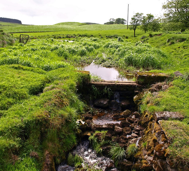
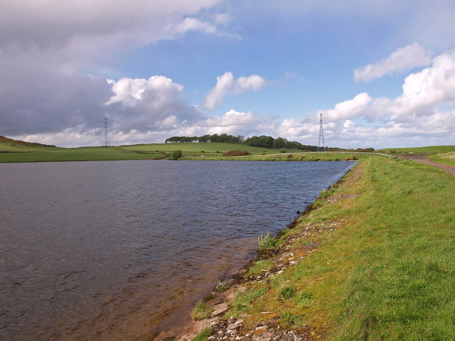
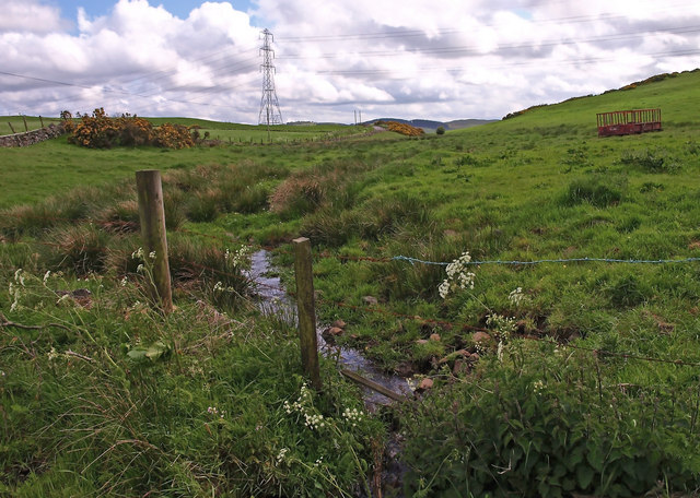
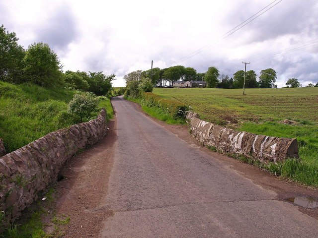
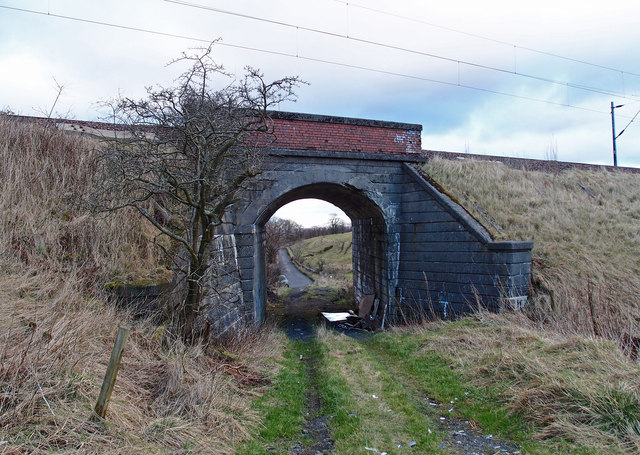
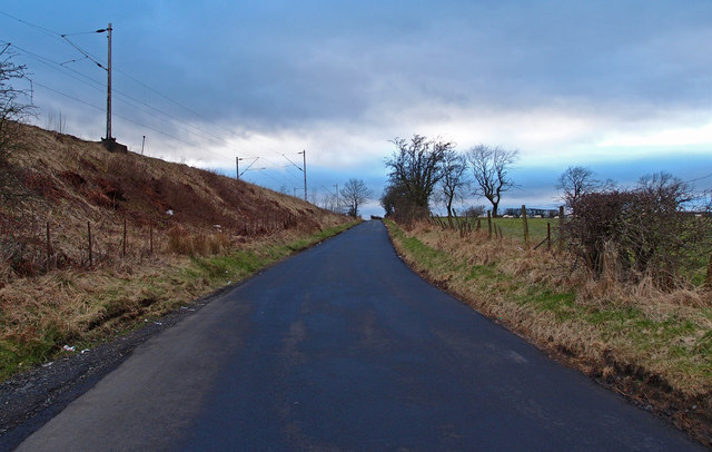
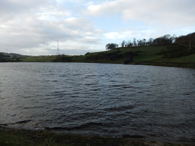
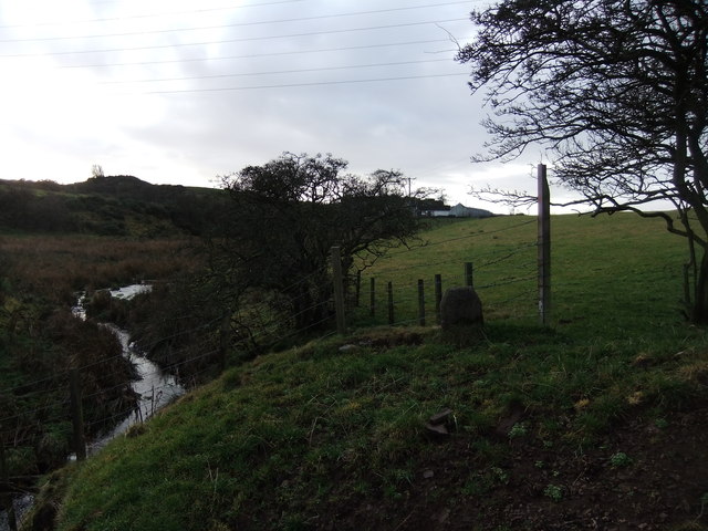
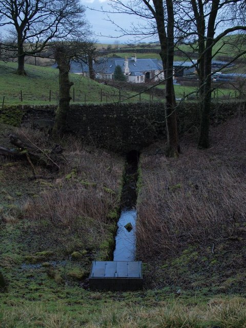
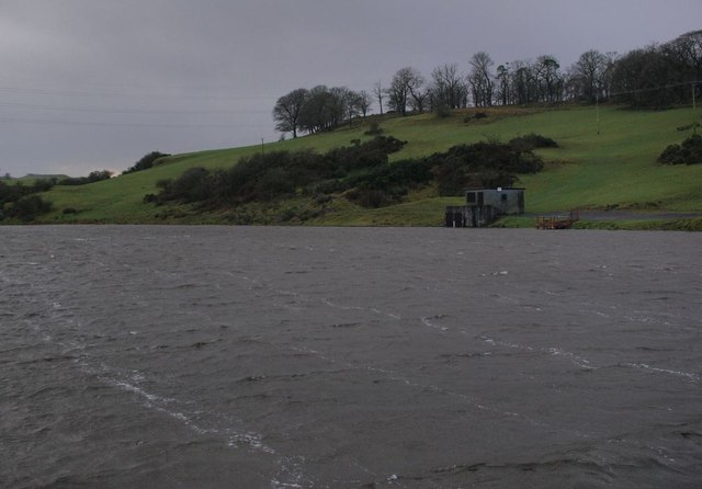
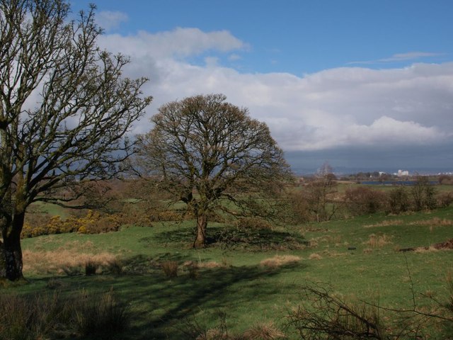
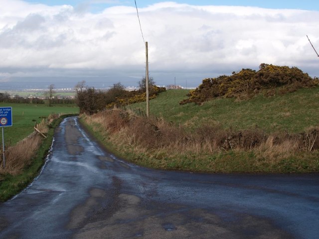
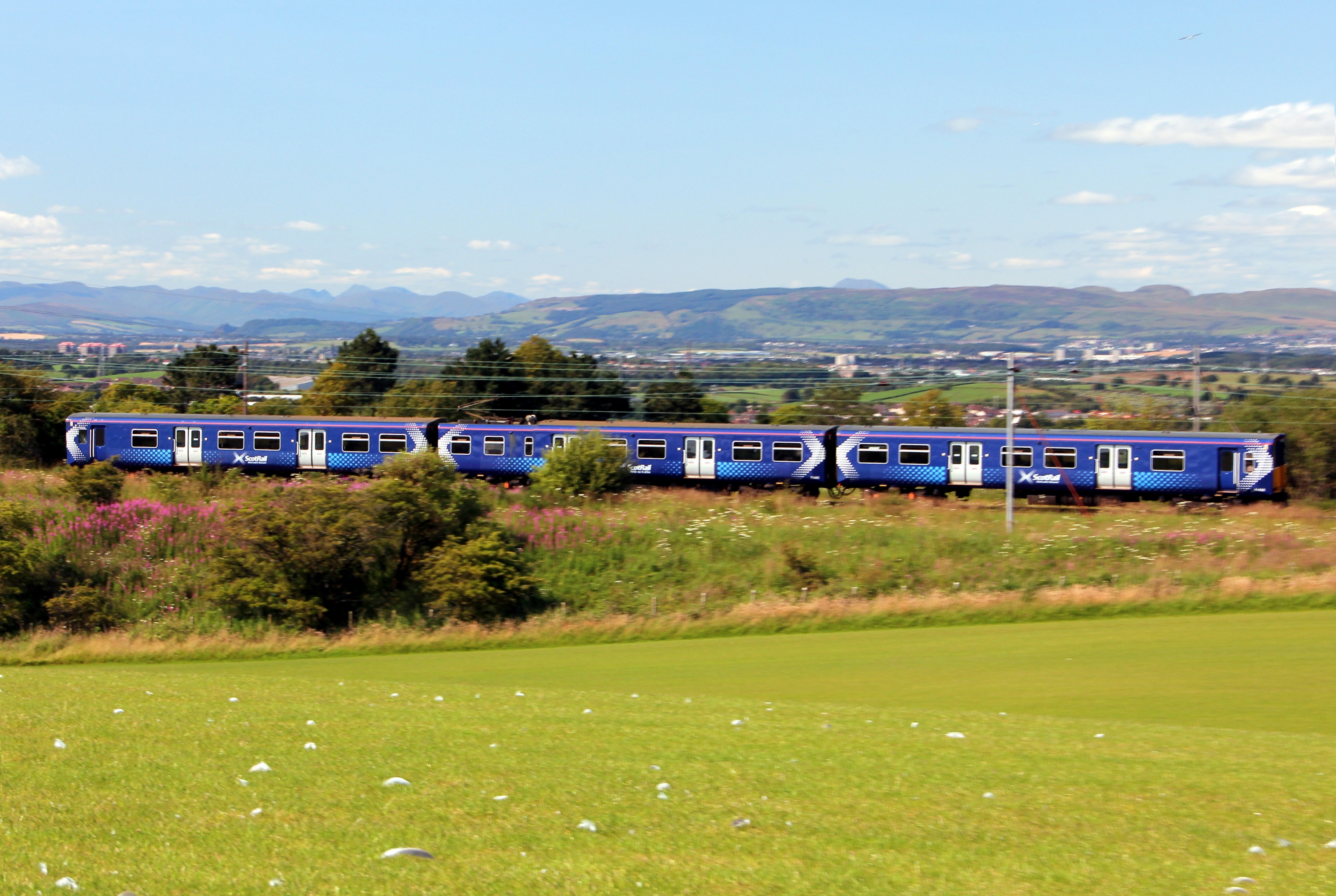
Duncarnock Images

Images are sourced within 2km of 55.773787/-4.3902921 or Grid Reference NS5055. Thanks to Geograph Open Source API. All images are credited.

Old Dam, South Craigton The Walton Burn was used to create this small disused reservoir.
Old Dam, South Craigton
The Walton Burn was used to create this small disused reservoir.
Walton Dam Near Neilston.
Walton Dam
Near Neilston.
Small Burn near Neilston Near the junction of Springhill Rd. and Kirkton Rd.
Small Burn near Neilston
Near the junction of Springhill Rd. and Kirkton Rd.
Kirkton Bridge, Neilston Kirkton on the hill.
Kirkton Bridge, Neilston
Kirkton on the hill.
Muirhead Farm Mainly sheep farming around here.
Muirhead Farm
Mainly sheep farming around here.
Muirhead Farmland Looking across mainly sheep grazing land towards North Walton Farm. Dodd Hill with the trees on it, above the farm .
Muirhead Farmland
Looking across mainly sheep grazing land towards North Walton Farm. Dodd Hill with the trees on it, above the farm .
Two Hawthorn Trees Rough land near Dyke Hill
Two Hawthorn Trees
Rough land near Dyke Hill
Sheep Grazing near Neilston Sun on the distant Campsie Fells over Glasgow. Newhouse Cottages on the right.
Sheep Grazing near Neilston
Sun on the distant Campsie Fells over Glasgow. Newhouse Cottages on the right.
Railway Bridge, Neilston Allowing field access under the Neilston/Rutherglen branch line.
Railway Bridge, Neilston
Allowing field access under the Neilston/Rutherglen branch line.
Railway Bridge, Neilston Allowing field access under the Neilston/Rutherglen branch line. Looking through to Springfield Road from farmland.
Railway Bridge, Neilston
Allowing field access under the Neilston/Rutherglen branch line. Looking through to Springfield Road from farmland.
Springfield Road, Minor Road Neilston Railway branch line to the left.
Springfield Road, Minor Road
Neilston Railway branch line to the left.
Neilston countryside This view looks east from the top of Neilston Pad over several of the farms in the area, towards Newton Mearns in the distance. Snypes Dam (<a href="https://www.geograph.org.uk/photo/1519619">NS4855 : Neilston Trout Fishery from above</a>) is in the foreground, and Walton Dam (e.g. <a href="https://www.geograph.org.uk/photo/245407">NS4955 : Walton Dam</a>) beyond.
Neilston countryside
This view looks east from the top of Neilston Pad over several of the farms in the area, towards Newton Mearns in the distance. Snypes Dam (NS4855 : Neilston Trout Fishery from above) is in the foreground, and Walton Dam (e.g. NS4955 : Walton Dam) beyond.
Glanderston Dam
Glanderston Dam
Looking up the burn to Burnside Farm
Outflow from Glanderston Dam This outflow channel is viewed from the embankment beside the reservoir.
Outflow from Glanderston Dam
This outflow channel is viewed from the embankment beside the reservoir.
Glanderston Dam The picture looks across the eastern corner of this small reservoir to the anglers' hut, on a grey and rather breezy afternoon.
Glanderston Dam
The picture looks across the eastern corner of this small reservoir to the anglers' hut, on a grey and rather breezy afternoon.
Field near Glanderston The field, and the trees in it, are on the south side of the single-track road that runs along the wee wood beside Glanderston Dam. Balgray Reservoir is glimpsed across the fields to the right.
Field near Glanderston
The field, and the trees in it, are on the south side of the single-track road that runs along the wee wood beside Glanderston Dam. Balgray Reservoir is glimpsed across the fields to the right.
Junction of Springhill Road and Glanderston Road The picture looks along Springhill Road as it heads downhill towards Barrhead. Glanderston Road is on the right.
Junction of Springhill Road and Glanderston Road
The picture looks along Springhill Road as it heads downhill towards Barrhead. Glanderston Road is on the right.
Show me another place!

Duncarnock is located at Grid Ref: NS5055 (Lat: 55.773787, Lng: -4.3902921)

Unitary Authority: East Renfrewshire

Police Authority: Greater Glasgow

What 3 Words

///draw.curving.lakes. Near Neilston, East Renfrewshire

Nearby Locations

Duncarnock

Related Wikis

Netherton Goods station

Netherton Goods station or Netherton Depot was a railway public freight facility located between Neilston railway station and Patterton railway station...

Johnny Blues Well

The Johnny Blue's Wells (Scots: Johnny Blue Waal) (Barrhead Dialect) is a spring well in the back roads district in East Renfrewshire, Scotland. Standing...

Balgray railway station

Balgray railway station is a proposed railway station that will serve communities to the south of Barrhead (particularly Springhall and Auchinback) on...

St Luke's High School

St Luke's High School is a school in the Auchenback area of Barrhead, East Renfrewshire, in the Greater Glasgow area of Scotland. The school focuses on...

Netherplace

Netherplace is a hamlet in East Renfrewshire. It is to the west of Newton Mearns, and adjacent to the M77 motorway. The settlement is almost entirely along...

Whitecraigs RFC

Whitecraigs Rugby Football Club is a rugby union club based in Newton Mearns, East Renfrewshire, Scotland. The team competes in Scottish National League...

Lyoncross railway station

Lyoncross railway station was intended to be a railway station between the towns of Newton Mearns and Barrhead, Scotland as part of the Lanarkshire and...

Pollock Castle

Pollock Castle, also known as Pollok Castle, was a tower house castle located to the west of modern Newton Mearns in East Renfrewshire, on the opposite...

Nearby Amenities

Located within 500m of 55.773787,-4.3902921
Power: tower
Lat/Long: 55.7699824/-4.3881217
Power: tower
Lat/Long: 55.7712843/-4.3932483
Barrier: stile
Lat/Long: 55.7759491/-4.3926935
Barrier: stile
Lat/Long: 55.7746879/-4.3911217
Barrier: stile
Lat/Long: 55.7773346/-4.3937883
Duncarnock (The Craigie)
Ele: 204
Natural: peak
Volcano Status: extinct
Lat/Long: 55.7738816/-4.3903341
Power: pole
Lat/Long: 55.7698527/-4.3928097
Power: pole
Lat/Long: 55.7703304/-4.3914825
Power: pole
Lat/Long: 55.7708868/-4.39027
Power: pole
Lat/Long: 55.7713188/-4.3892934
Power: pole
Lat/Long: 55.7717508/-4.3883459
Power: pole
Lat/Long: 55.7721898/-4.3873839
Power: pole
Lat/Long: 55.7728929/-4.3870771
Power: pole
Lat/Long: 55.773569/-4.3867808
Power: pole
Lat/Long: 55.7741418/-4.3859085
Power: pole
Lat/Long: 55.7747029/-4.3850633
Power: pole
Lat/Long: 55.775285/-4.3841764
Power: pole
Lat/Long: 55.7758367/-4.3833438
Power: pole
Lat/Long: 55.7766841/-4.3963427
Power: pole
Lat/Long: 55.7771852/-4.3950364
Power: pole
Lat/Long: 55.7775456/-4.3940994
Power: pole
Lat/Long: 55.777393/-4.3931352
Power: pole
Lat/Long: 55.7770268/-4.3919854
Power: pole
Lat/Long: 55.7767369/-4.3911027
Power: pole
Lat/Long: 55.7764693/-4.3902575
Power: pole
Lat/Long: 55.7761947/-4.3894165
Power: pole
Lat/Long: 55.7757768/-4.388131
Power: pole
Lat/Long: 55.7753789/-4.386858
Power: pole
Lat/Long: 55.7750162/-4.3856602
Power: pole
Lat/Long: 55.7745796/-4.3843663
Power: pole
Lat/Long: 55.7741042/-4.382916
Power: pole
Lat/Long: 55.7716451/-4.3972296
Power: pole
Lat/Long: 55.7726781/-4.3966599
Power: pole
Lat/Long: 55.7733413/-4.3966704
Power: pole
Lat/Long: 55.7740397/-4.3969083
Power: pole
Lat/Long: 55.7747439/-4.3971232
Power: pole
Lat/Long: 55.7754834/-4.3973486
The data included in this document is from www.openstreetmap.org. The data is made available under ODbL.

Have you been to Duncarnock?

Leave your review of Duncarnock below (or comments, questions and feedback).