Beinn Bhreac
Hill, Mountain in Perthshire
Scotland
Beinn Bhreac

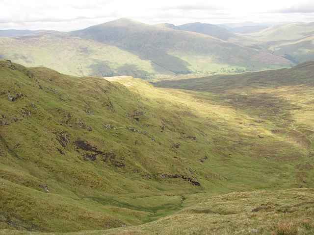
Beinn Bhreac is a prominent hill located in Perthshire, Scotland. It is part of the Grampian Mountains and stands at an impressive height of 931 meters (3,054 feet). The name "Beinn Bhreac" translates to "speckled mountain" in Scottish Gaelic, which is a fitting description of its appearance.
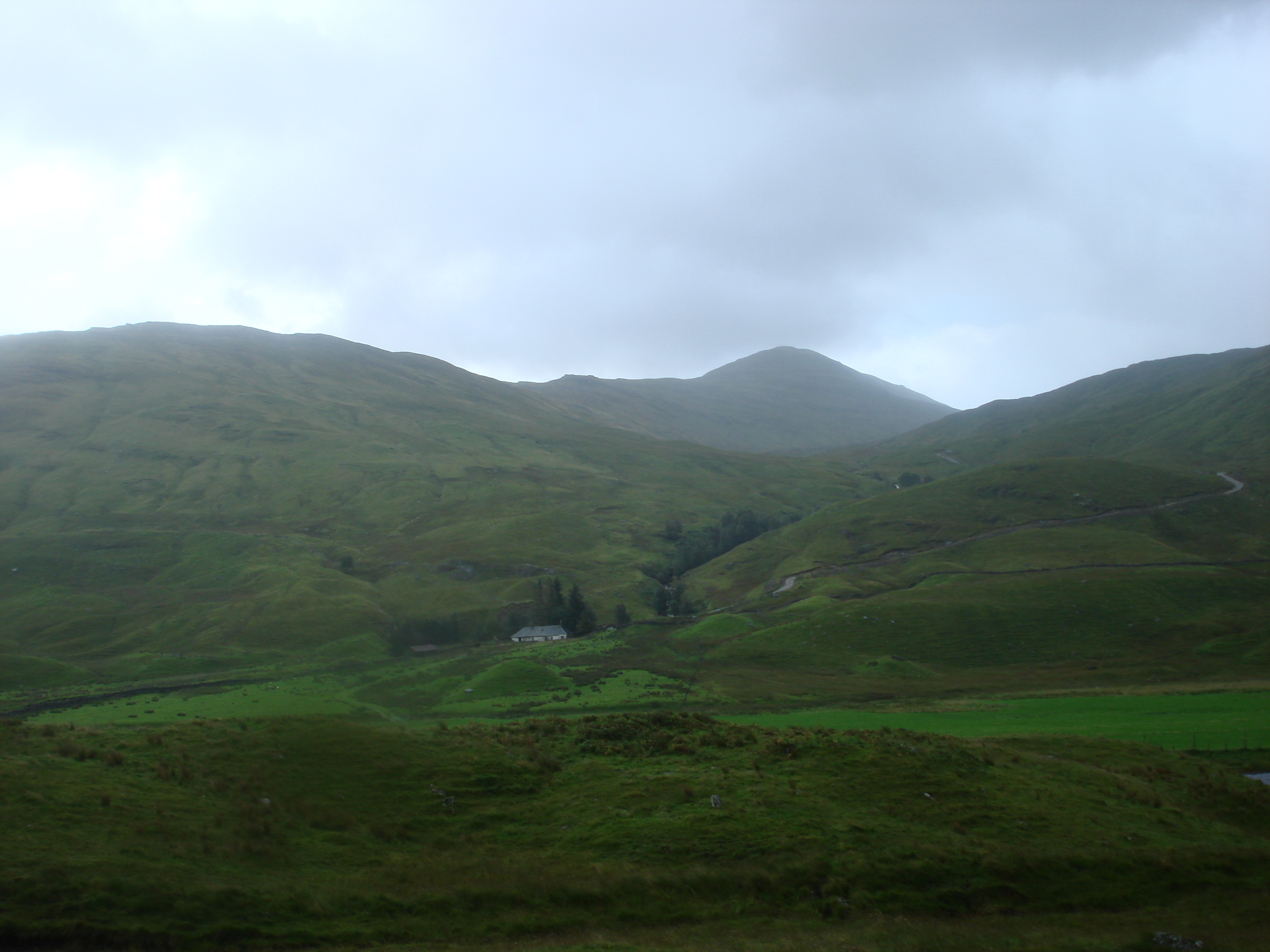
The hill is situated in a remote area, approximately 15 kilometers north of Blair Atholl. It is known for its rugged and rocky terrain, with steep slopes and craggy outcrops. Beinn Bhreac offers breathtaking panoramic views of the surrounding landscape, including the nearby Munros (mountains over 3,000 feet) such as Ben Vrackie and Schiehallion.
The ascent to the summit of Beinn Bhreac is challenging, requiring a good level of fitness and navigational skills. The hill is often accessed from the village of Calvine, where a track leads to the foot of the mountain. From there, hikers follow a steep path that gradually becomes more rocky and exposed. The final stretch involves some scrambling, making it a thrilling adventure for experienced mountaineers.
Due to its remote location and challenging terrain, Beinn Bhreac is not as frequently visited as other nearby peaks. This makes it an ideal destination for those seeking solitude and a more rugged hiking experience. However, it is important to come prepared with appropriate clothing, equipment, and navigational tools as the weather conditions can change rapidly, even during the summer months.
In summary, Beinn Bhreac is a stunning hill in Perthshire, offering a challenging and rewarding ascent with breathtaking views of the surrounding mountains. It is a perfect destination for experienced hikers looking to explore the beauty and solitude of the Scottish highlands.
If you have any feedback on the listing, please let us know in the comments section below.
Beinn Bhreac Images
Images are sourced within 2km of 56.464795/-4.4347862 or Grid Reference NN5032. Thanks to Geograph Open Source API. All images are credited.


Beinn Bhreac is located at Grid Ref: NN5032 (Lat: 56.464795, Lng: -4.4347862)
Unitary Authority: Stirling
Police Authority: Forth Valley
What 3 Words
///dives.believer.inherit. Near Pubil, Perth & Kinross
Nearby Locations
Related Wikis
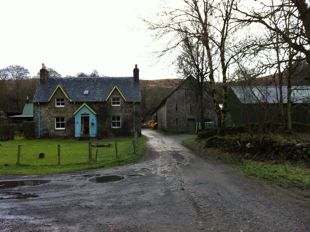
Auchlyne
Auchlyne (Scottish Gaelic: Achadh Loinne) is a small hamlet in Stirling, Scotland. It is located approximately five miles west of Killin on Loch Tay, off...
Sgiath Chùil
Sgiath Chùil is a mountain situated in the southern highlands of Scotland. It stands within Loch Lomond and the Trossachs National Park, on its northern...

Ardchyle
Ardchyle is a small hamlet in Stirling, Scotland. The Glendhu viaduct, just south of Ardchyle, was built for the now disused section of the Callander and...
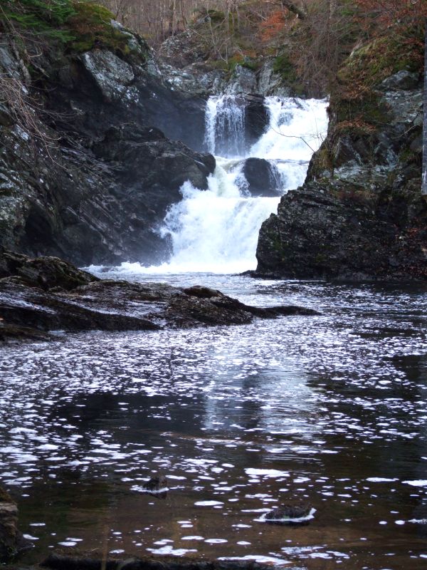
Falls of Lochay
Falls of Lochay is a waterfall in Scotland. == See also == Waterfalls of Scotland == References ==
Nearby Amenities
Located within 500m of 56.464795,-4.4347862Have you been to Beinn Bhreac?
Leave your review of Beinn Bhreac below (or comments, questions and feedback).