Himbleton

Settlement in Worcestershire Wychavon

England

Himbleton

Sale Green Methodist Church I am not sure whether this is currently a functioning church/chapel.
Sale Green Methodist Church Credit: Chris Allen

Himbleton is a picturesque village located in the county of Worcestershire, England. Nestled in the heart of the countryside, it is situated approximately 7 miles east of the city of Worcester. With a population of around 500 residents, Himbleton offers a peaceful and tight-knit community atmosphere.

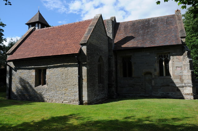
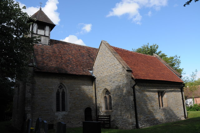
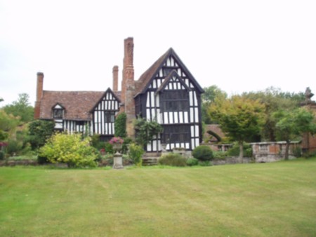
The village boasts a rich history, with evidence of habitation dating back to the Roman era. It is characterized by its charming thatched cottages, picturesque gardens, and well-preserved historic buildings. The centerpiece of Himbleton is the beautiful St. Mary Magdalene Church, a Grade I listed building that dates back to the 12th century. The church's stunning architecture and serene surroundings make it a popular attraction for visitors.

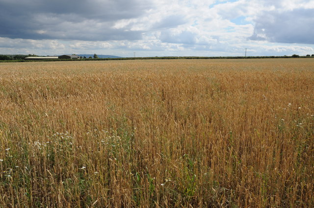
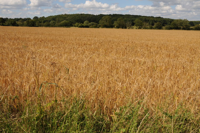
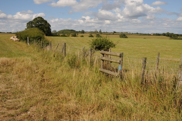
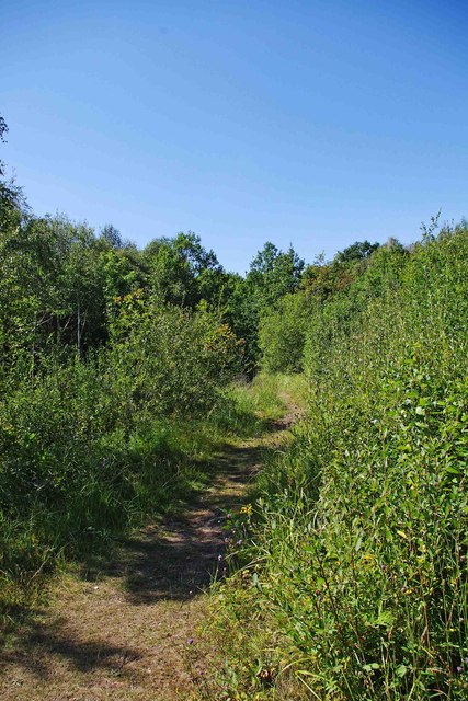
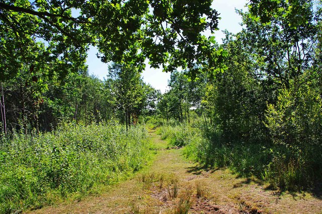
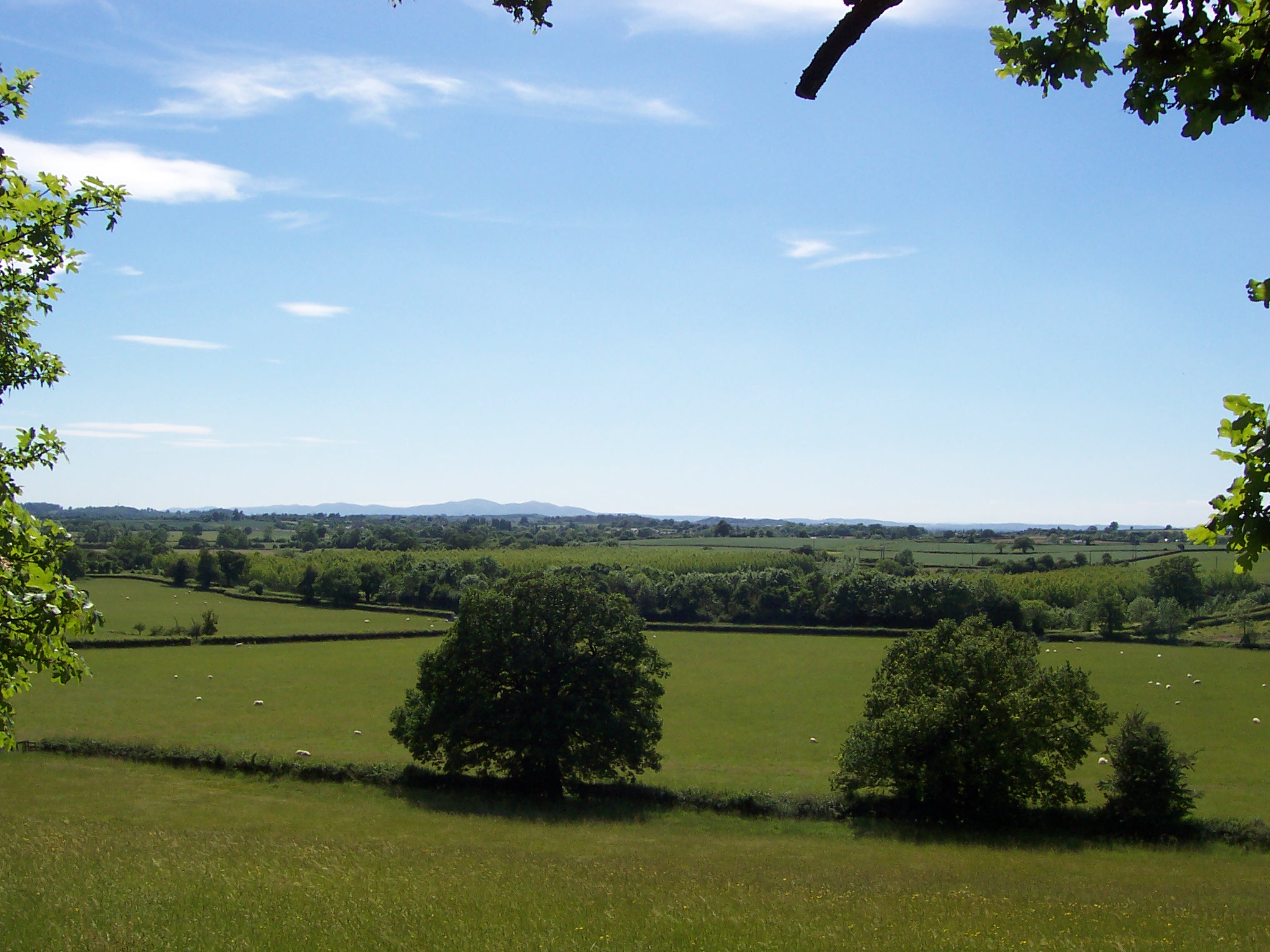
Himbleton benefits from its rural location, surrounded by rolling hills and lush green fields. The village is surrounded by picturesque countryside, offering ample opportunities for outdoor activities such as hiking, cycling, and horse riding. The nearby Himbleton Brook adds to the village's natural beauty, providing a tranquil spot for residents and visitors alike.

Though small, Himbleton is a vibrant community with a strong sense of local pride. The village has a thriving primary school, a village hall, and a cricket club, which serves as a social hub for many residents. Additionally, a local pub provides a warm and welcoming gathering place for villagers and visitors to enjoy traditional pub fare and ales.

Overall, Himbleton is a tranquil and idyllic village that offers a close-knit community, stunning natural surroundings, and a rich history. It is a hidden gem within the Worcestershire countryside, providing a peaceful retreat from the hustle and bustle of city life.

If you have any feedback on the listing, please let us know in the comments section below.
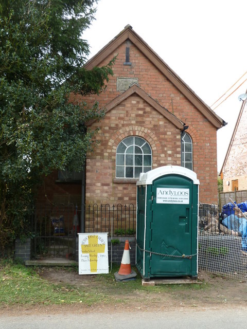
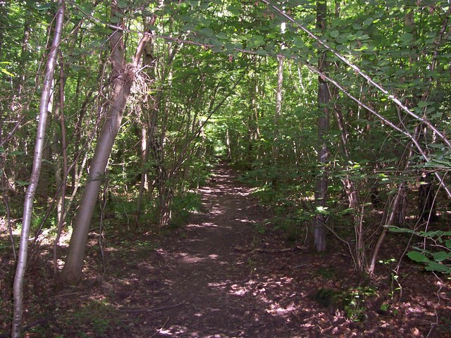
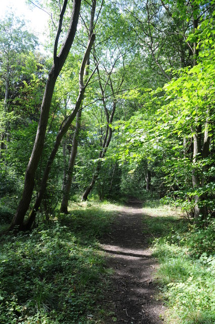
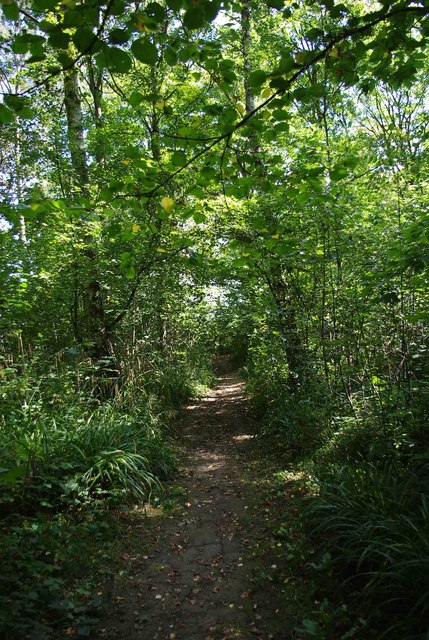
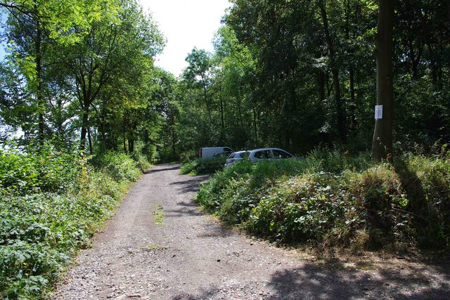
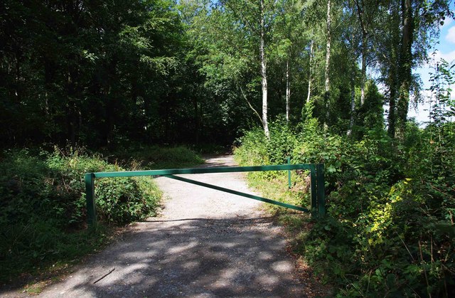
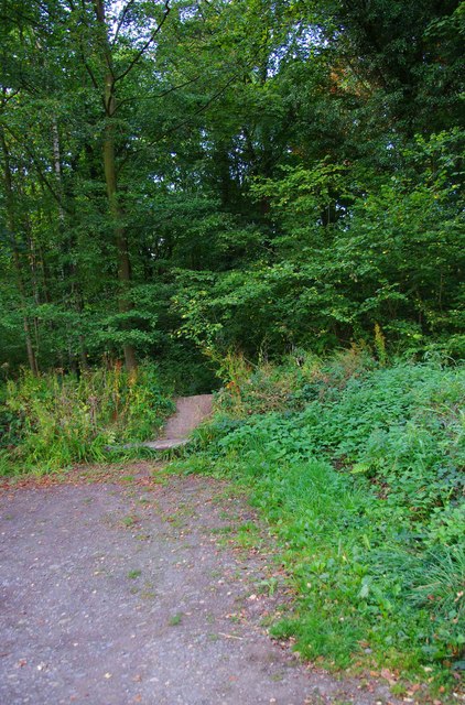
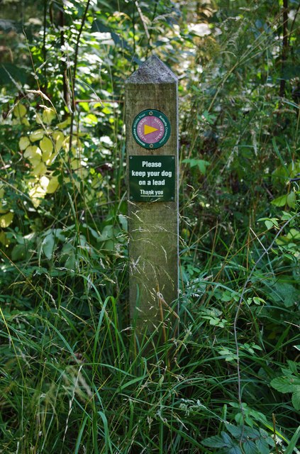
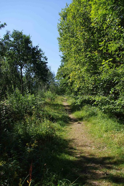
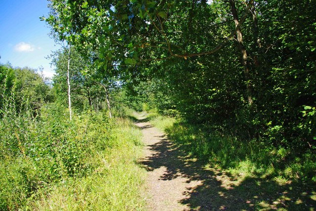
Himbleton Images

Images are sourced within 2km of 52.224274/-2.080867 or Grid Reference SO9458. Thanks to Geograph Open Source API. All images are credited.

Sale Green Methodist Church I am not sure whether this is currently a functioning church/chapel.
Sale Green Methodist Church
I am not sure whether this is currently a functioning church/chapel.
Path in Trench Wood
Path in Trench Wood
Path through Pope's Wood Path through Pope's Wood, part of the Worcestershire Wildlife Nature Reserve of Trench Wood near Sale Green.
Path through Pope's Wood
Path through Pope's Wood, part of the Worcestershire Wildlife Nature Reserve of Trench Wood near Sale Green.
Wheatfield at Sale Green View across a field of wheat from a footpath near Sale Green.  The buildings of Diamond Hall Farm can be seen in the middle distance with Bredon Hill on the distant horizon.
Wheatfield at Sale Green
View across a field of wheat from a footpath near Sale Green. The buildings of Diamond Hall Farm can be seen in the middle distance with Bredon Hill on the distant horizon.
Barley field near Himbleton View across a field of barley between Saleway and Himbleton.  Puckhill Wood can be seen in the background.
Barley field near Himbleton
View across a field of barley between Saleway and Himbleton. Puckhill Wood can be seen in the background.
Farmland near Shell Farmland to the west of Shell.
Farmland near Shell
Farmland to the west of Shell.
Huddington church Huddington church is dedicated to St James and it is situated close to Huddington Court, so close in fact that to access it one has to cross the lawn of the court.  The nave of church dates back to the Norman period.
Huddington church
Huddington church is dedicated to St James and it is situated close to Huddington Court, so close in fact that to access it one has to cross the lawn of the court. The nave of church dates back to the Norman period.
A shady path in Trench Wood near Sale Green Trench Wood is a woodland nature reserve, jointly managed by Worcestershire Wildlife Trust, and Butterfly Conservation. It is ancient woodland with mature oak and ash trees. With rides and open areas, it is one of the richest woodland sites for wildlife in Worcestershire.
A shady path in Trench Wood near Sale Green
Trench Wood is a woodland nature reserve, jointly managed by Worcestershire Wildlife Trust, and Butterfly Conservation. It is ancient woodland with mature oak and ash trees. With rides and open areas, it is one of the richest woodland sites for wildlife in Worcestershire.
Car park at Trench Wood, near Sale Green The car park has been reduced in size, with the part furthest from the entrance blocked by a gate. This can be opened for genuine groups of visitors. It is hoped this will reduce the considerable problem of fly-tipping, probably by people with vans & pick-up trucks, who won't purchase a licence to tip at proper sites.  It is difficult to see why anyone else would fly-tip here, when there are so many proper disposal facilities in the larger towns.
Car park at Trench Wood, near Sale Green
The car park has been reduced in size, with the part furthest from the entrance blocked by a gate. This can be opened for genuine groups of visitors. It is hoped this will reduce the considerable problem of fly-tipping, probably by people with vans & pick-up trucks, who won't purchase a licence to tip at proper sites. It is difficult to see why anyone else would fly-tip here, when there are so many proper disposal facilities in the larger towns.
Gate near the end of the car park, Trench Wood near Sale Green The gate shuts off the part of the car park furthest from the entrance. See:- <a href="https://www.geograph.org.uk/photo/2564673">SO9258 : Car park at Trench Wood, near Sale Green</a>.
Gate near the end of the car park, Trench Wood near Sale Green
The gate shuts off the part of the car park furthest from the entrance. See:- SO9258 : Car park at Trench Wood, near Sale Green.
Trench Wood seen from the car park, near Sale Green Trench Wood has been a nature reserve for well over twenty years. Prior to this it was clear-felled in the 1940's, and replanted with species suitable for making paintbrush and broom handles. As a result the wood today contains hazel, beech, silver birch, grey alder and sycamore.
Trench Wood seen from the car park, near Sale Green
Trench Wood has been a nature reserve for well over twenty years. Prior to this it was clear-felled in the 1940's, and replanted with species suitable for making paintbrush and broom handles. As a result the wood today contains hazel, beech, silver birch, grey alder and sycamore.
Nature Trail waymarker, Trench Wood near Sale Green Worcestershire Wildlife Trust, and Butterfly Conservation, the two charitable organisations managing the wood, have created a nature trail.

<a href="https://www.geograph.org.uk/photo/2564764">SO9258 : Nature Trail, Trench Wood, near Sale Green</a>.
Nature Trail waymarker, Trench Wood near Sale Green
Worcestershire Wildlife Trust, and Butterfly Conservation, the two charitable organisations managing the wood, have created a nature trail. SO9258 : Nature Trail, Trench Wood, near Sale Green.
Nature Trail, Trench Wood, near Sale Green Part of the nature trail running through the wood. See also:- <a href="https://www.geograph.org.uk/photo/2564750">SO9258 : Nature Trail waymarker, Trench Wood near Sale Green</a>.
Nature Trail, Trench Wood, near Sale Green
Part of the nature trail running through the wood. See also:- SO9258 : Nature Trail waymarker, Trench Wood near Sale Green.
A sunny spot with a seat, Trench Wood, near Sale Green One of the many good things about this attractive wood, is that a lot of seats have been provided, which is perhaps more appreciated the older you get. Recently a programme has commenced of replacing older seats, which are showing their age, with new seats. This is one of the new seats.
A sunny spot with a seat, Trench Wood, near Sale Green
One of the many good things about this attractive wood, is that a lot of seats have been provided, which is perhaps more appreciated the older you get. Recently a programme has commenced of replacing older seats, which are showing their age, with new seats. This is one of the new seats.
A path in Trench Wood, near Sale Green One of the network of paths in the wood.
A path in Trench Wood, near Sale Green
One of the network of paths in the wood.
A path in Trench Wood, near Sale Green One of the many paths in the wood.
A path in Trench Wood, near Sale Green
One of the many paths in the wood.
A path in Trench Wood, near Sale Green A path disappearing into the depths of Trench Wood.
A path in Trench Wood, near Sale Green
A path disappearing into the depths of Trench Wood.
Show me another place!

Himbleton is located at Grid Ref: SO9458 (Lat: 52.224274, Lng: -2.080867)

Administrative County: Worcestershire

District: Wychavon

Police Authority: West Mercia

What 3 Words

///broads.joins.greet. Near Kington, Worcestershire

Nearby Locations

Neight Hill Himbleton

Related Wikis

Himbleton

Himbleton is a village in Worcestershire, England. It lies about 5 miles (8.0 km) south-east of Droitwich and 7.5 miles (12.1 km) north-east of Worcester...

Huddington

Huddington is a village in Worcestershire, England. == Location == Huddington is located 5 miles (8.0 km) east of Worcester and 5 miles (8.0 km) south...

Huddington Court

Huddington Court is a 15th-century moated manor house in the village of Huddington in Worcestershire, England, some six miles east of Worcester. It was...

Earls Common

Earls Common is a village in Worcestershire, England. Villages nearby include Himbleton and Stock Green.

Dunhampstead railway station

Dunhampstead railway station served the village of Dunhampstead, Worcestershire, England, from 1841 to 1855 on the Birmingham and Gloucester Railway....

Trench Wood

Trench Wood is a woodland area part managed by the Worcestershire Wildlife Trust and Butterfly Conservation. It is located around 6 miles (9.7 km) miles...

Grafton Flyford

Grafton Flyford is a village about 6 miles (9.7 km) east of Worcester, in Worcestershire, England. It neighbours Stock Green, with the large farm house...

Dunhampstead

Dunhampstead is a small village in the English county of Worcestershire. It is located about 6 miles to the north-east of Worcester and around half a...

Nearby Amenities

Located within 500m of 52.224274,-2.080867
Bus Stop
Galton Arms
Bus: yes
Naptan AtcoCode: 2000G055100
Naptan Bearing: NW
Naptan CommonName: Galton Arms
Naptan Indicator: adj
Naptan NaptanCode: wocdwtwg
Naptan Verified: no
Public Transport: platform
Source: naptan_import
Lat/Long: 52.2248145/-2.082218
Bus Stop
Galton Arms
Bus: yes
Naptan AtcoCode: 2000G502749
Naptan Bearing: SE
Naptan CommonName: Galton Arms
Naptan Indicator: opp
Naptan NaptanCode: wocgjmdt
Naptan Verified: no
Public Transport: platform
Source: naptan_import
Lat/Long: 52.2245635/-2.0812367
Bus Stop
Himbleton- School
Bus: yes
Naptan AtcoCode: 2000G612327
Naptan Bearing: NW
Naptan CommonName: Himbleton- School
Naptan Indicator: Adj
Naptan Landmark: School
Naptan NaptanCode: wocdwmwt
Naptan Street: Himbledon Village Road
Naptan Verified: no
Public Transport: platform
Source: naptan_import
Lat/Long: 52.2237203/-2.0782633
Himbleton
Place: village
Source: NPE
Wikidata: Q2680195
Lat/Long: 52.2237186/-2.0808015
Court Farm
Landuse: farm
Note Retag: CS #48756035
Source: OS OpenData StreetView
Lat/Long: 52.2272621/-2.080786
Power: pole
Lat/Long: 52.2224623/-2.0841174
Power: pole
Lat/Long: 52.222116/-2.0810868
Neight Hill
Power: pole
Transformer: distribution
Voltage Primary: 11000
Lat/Long: 52.2227299/-2.0760987
Barrier: stile
Foot: yes
Lat/Long: 52.2278714/-2.0805678
Power: pole
Lat/Long: 52.2228056/-2.0864195
Barrier: stile
Foot: yes
Lat/Long: 52.2267954/-2.081103
Power: pole
Lat/Long: 52.2223135/-2.0798342
Power: pole
Lat/Long: 52.2229098/-2.0877578
Power: pole
Lat/Long: 52.2227931/-2.0767245
Power: pole
Lat/Long: 52.2228565/-2.0870893
Power: pole
Lat/Long: 52.222716/-2.0852724
Power: pole
Lat/Long: 52.2225102/-2.0785749
Power: pole
Lat/Long: 52.2222128/-2.0830032
Power: pole
Lat/Long: 52.2226794/-2.0774941
Power: pole
Lat/Long: 52.2227596/-2.0858499
Power: pole
Lat/Long: 52.2219809/-2.0819806
Post Box
Collection Times: Mo-Fr 16:00; Sa 08:30
Post Box Type: lamp
Ref: WR9 402
Royal Cypher: EIIR
Royal Cypher Wikidata: Q33102113
Lat/Long: 52.2259392/-2.0812052
Power: pole
Lat/Long: 52.2238717/-2.0866054
Power: pole
Lat/Long: 52.2247432/-2.0855841
Power: pole
Lat/Long: 52.228187/-2.0819953
Power: pole
Lat/Long: 52.2271091/-2.0827946
Power: pole
Lat/Long: 52.2256632/-2.0844736
Power: pole
Lat/Long: 52.2262713/-2.0837709
Pub
Galton Arms
Lat/Long: 52.2247476/-2.0822272
Power: pole
Lat/Long: 52.2281112/-2.0811991
Power: pole
Lat/Long: 52.2278955/-2.080548
Power: pole
Lat/Long: 52.2275702/-2.079569
Himbleton Church
Power: pole
Transformer: distribution
Voltage Primary: 11000
Lat/Long: 52.2264241/-2.0787063
Power: pole
Lat/Long: 52.2272556/-2.0786067
Power: pole
Lat/Long: 52.2274014/-2.0777243
Power: pole
Lat/Long: 52.2274688/-2.077387
Power: pole
Lat/Long: 52.2278553/-2.0766635
Himbleton
Power: pole
Transformer: distribution
Voltage Primary: 11000
Lat/Long: 52.2257852/-2.0831148
The data included in this document is from www.openstreetmap.org. The data is made available under ODbL.

Have you been to Himbleton?

Leave your review of Himbleton below (or comments, questions and feedback).