Benbraniachan

Hill, Mountain in Ayrshire

Scotland

Benbraniachan

Forest and moorland view Looking towards the east from the slopes of Benquhat Hill on a lovely early-March afternoon. The ground to the right of the small wood holds an old colliery bing.
Forest and moorland view Credit: Mary and Angus Hogg

Benbraniachan is a prominent hill located in the county of Ayrshire, Scotland. It stands at an elevation of approximately 500 meters (1,640 feet) above sea level, making it a notable peak in the region. The hill is part of the Southern Uplands, which are characterized by rolling hills and valleys.

Benbraniachan is situated within a picturesque landscape, surrounded by lush greenery and offering panoramic views of the surrounding countryside. It is a popular destination for hikers and outdoor enthusiasts, attracting visitors who enjoy its natural beauty and challenging trails.

The hill is primarily composed of granite and has a rugged terrain, with steep slopes and rocky outcrops. This makes it an ideal location for rock climbing and other adventurous activities. The summit of Benbraniachan provides breathtaking views of the surrounding area, including the nearby towns and villages.

The hill is home to a variety of wildlife, including birds such as red grouse and peregrine falcons, as well as mammals like red deer and mountain hares. The surrounding area also offers opportunities for nature lovers to explore the diverse flora and fauna of the region.

Overall, Benbraniachan in Ayrshire is a scenic and challenging hill that offers outdoor enthusiasts an opportunity to experience the beauty of the Southern Uplands. Its stunning views, diverse wildlife, and rugged terrain make it a popular destination for hikers, climbers, and nature lovers alike.

If you have any feedback on the listing, please let us know in the comments section below.

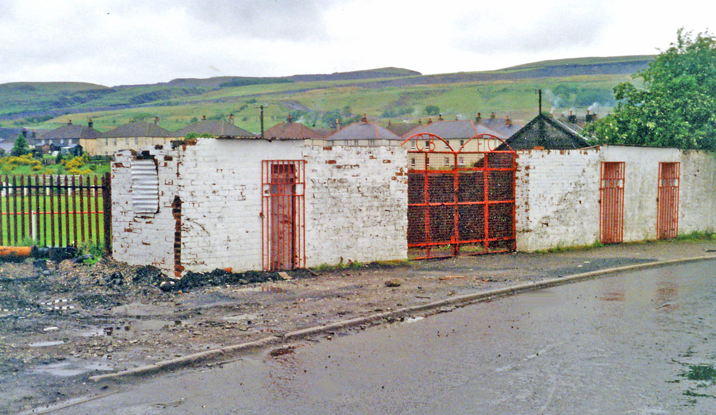
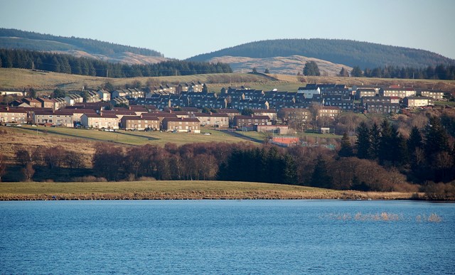
Benbraniachan Images

Images are sourced within 2km of 55.348279/-4.3953877 or Grid Reference NS4808. Thanks to Geograph Open Source API. All images are credited.

Forest and moorland view Looking towards the east from the slopes of Benquhat Hill on a lovely early-March afternoon. The ground to the right of the small wood holds an old colliery bing.
Forest and moorland view
Looking towards the east from the slopes of Benquhat Hill on a lovely early-March afternoon. The ground to the right of the small wood holds an old colliery bing.
Benquhat view The foreground of this shot lies inside the square. A lot of the area beyond that is restored open-cast mining ground from the 20th century Chalmerston Colliery.
Benquhat view
The foreground of this shot lies inside the square. A lot of the area beyond that is restored open-cast mining ground from the 20th century Chalmerston Colliery.
The Black Water This burn flows towards the north, changing its name to Burnock Water before joining the Lugar Water near Ochiltree. Viewed in the corner of the square.
The Black Water
This burn flows towards the north, changing its name to Burnock Water before joining the Lugar Water near Ochiltree. Viewed in the corner of the square.
Forest edge near Black Water There was no coal extraction in this area, leaving the forest on Greengate Rig to grow in peace.
Forest edge near Black Water
There was no coal extraction in this area, leaving the forest on Greengate Rig to grow in peace.
A small wood A small wood next to some old mine workings.
A small wood
A small wood next to some old mine workings.
Old Bing Old bing next to small wood.
Old Bing
Old bing next to small wood.
Former colliery pool The highest of the low-level pools at the former open-cast Chalmerston Colliery site.
Former colliery pool
The highest of the low-level pools at the former open-cast Chalmerston Colliery site.
Caldwell’s Glen Viewed on a bright early-March afternoon after several weeks of wet weather. The high ground on the right is part of the restored Chalmerston open-cast colliery.
Caldwell’s Glen
Viewed on a bright early-March afternoon after several weeks of wet weather. The high ground on the right is part of the restored Chalmerston open-cast colliery.
Disused railway line near Dalmellington This view looks towards Dalmellington. A short stretch of this track is used by the steam heritage site at Waterside. See <a href="https://www.geograph.org.uk/photo/5007294">NS4408 : The Dunaskin Chimneys</a>
Disused railway line near Dalmellington
This view looks towards Dalmellington. A short stretch of this track is used by the steam heritage site at Waterside. See NS4408 : The Dunaskin Chimneys
An old way to Waterside This view of the disused railway looks towards Waterside. The line was built by the Dalmellington Iron Company in 1856 to connect the collieries and industrial sites between Waterside and Pennyvenie. See <a href="https://www.geograph.org.uk/photo/5007289">NS4408 : Former Industrial Site at Waterside</a>
An old way to Waterside
This view of the disused railway looks towards Waterside. The line was built by the Dalmellington Iron Company in 1856 to connect the collieries and industrial sites between Waterside and Pennyvenie. See NS4408 : Former Industrial Site at Waterside
Leaving Caldwell’s Glen The track turns here heading for Benwhat.
Leaving Caldwell’s Glen
The track turns here heading for Benwhat.
Towards Hare Craig Hare Craig has been reshaped by the open-cast colliery workings. The access track follows the course of a Roman Road.
Towards Hare Craig
Hare Craig has been reshaped by the open-cast colliery workings. The access track follows the course of a Roman Road.
Towards Benwhat A handy sign says that the old village site lies 1 mile along this track.
Towards Benwhat
A handy sign says that the old village site lies 1 mile along this track.
Track to Benbraniachan This part of the road network shows the effects of open-cast mining on the landscape. A lot of restoration work has already been completed.
Track to Benbraniachan
This part of the road network shows the effects of open-cast mining on the landscape. A lot of restoration work has already been completed.
Ruined sheep ree on Benquhat Hill I came across this very wide circle of rocks and stones on the lower slope of Benquhat Hill and wondered about its history. Although the feature is marked on the OS maps, both old and new, the site wasn't named. Thanks to an email from another Geographer, I now know that it's an old sheep ree, named on the 
1892-1914 OS sheet but not on the earlier one which I had checked. 
See <a href="https://www.geograph.org.uk/photo/7126472">NS4609 : Old sheep ree on Benquhat Hill</a> for a distant view, taken a few days later, that illustrates the shape and size of the feature.
Ruined sheep ree on Benquhat Hill
I came across this very wide circle of rocks and stones on the lower slope of Benquhat Hill and wondered about its history. Although the feature is marked on the OS maps, both old and new, the site wasn't named. Thanks to an email from another Geographer, I now know that it's an old sheep ree, named on the 1892-1914 OS sheet but not on the earlier one which I had checked. See NS4609 : Old sheep ree on Benquhat Hill for a distant view, taken a few days later, that illustrates the shape and size of the feature.
Sheep fold near Benquhat Hill A long-abandoned feature from a pre-industrial time on this upland area. A lot of the land here is reclaimed open-cast colliery workings.
Sheep fold near Benquhat Hill
A long-abandoned feature from a pre-industrial time on this upland area. A lot of the land here is reclaimed open-cast colliery workings.
Restored open-cast workings near Benbraniachan After the closure of the Chalmerston Open-Cast Colliery, the ground on the lower part of the hillside was restored to some extent. The land that's visible from the road received most attention.
Restored open-cast workings near Benbraniachan
After the closure of the Chalmerston Open-Cast Colliery, the ground on the lower part of the hillside was restored to some extent. The land that's visible from the road received most attention.
Restored open-cast site near Benbraniachan The 20th century Chalmerston Open-Cast Colliery, which covered hundreds of acres of ground, obliterated most of the older workings on this part of the hill. After the closure of the colliery, the ground on the lower part of the hillside was restored to some extent.
Restored open-cast site near Benbraniachan
The 20th century Chalmerston Open-Cast Colliery, which covered hundreds of acres of ground, obliterated most of the older workings on this part of the hill. After the closure of the colliery, the ground on the lower part of the hillside was restored to some extent.
Show me another place!

Benbraniachan is located at Grid Ref: NS4808 (Lat: 55.348279, Lng: -4.3953877)

Unitary Authority: East Ayrshire

Police Authority: Ayrshire

What 3 Words

///remarked.remodels.dupe. Near Dalmellington, East Ayrshire

Related Wikis

Doon Academy

Doon Academy is a secondary school in Dalmellington that caters to the local surrounding areas Dalmellington, Patna, Rankinston and Bellsbank. The current...

Dalmellington

Dalmellington (Scots: Dawmellinton, Scottish Gaelic: Dail M'Fhaolain) is a market town and civil parish in East Ayrshire, Scotland. In 2001 the village...

Dalmellington railway station

Dalmellington railway station served the town of Dalmellington, East Ayrshire, Scotland, from 1856 to 1964 on the Ayr and Dalmellington Railway. ��2�...

Bellsbank

Bellsbank is a village half a mile away from the market town of Dalmellington in East Ayrshire, Scotland. It is the second-highest place in East Ayrshire...

Nearby Amenities

Located within 500m of 55.348279,-4.3953877
The data included in this document is from www.openstreetmap.org. The data is made available under ODbL.

Have you been to Benbraniachan?

Leave your review of Benbraniachan below (or comments, questions and feedback).