Bryn-y-gôg
Hill, Mountain in Caernarfonshire
Wales
Bryn-y-gôg

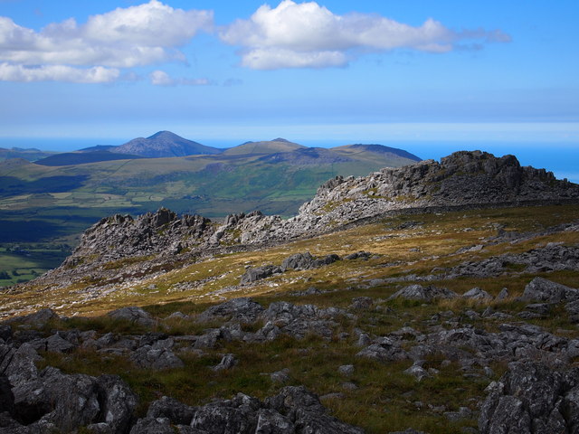
Bryn-y-gôg is a prominent hill located in the county of Caernarfonshire, Wales. It is situated in the Snowdonia National Park, which is renowned for its stunning natural beauty and rugged landscapes. Standing at an elevation of approximately 1,215 feet (370 meters), Bryn-y-gôg offers breathtaking panoramic views of the surrounding countryside, including nearby mountains, valleys, and picturesque villages.
The hill is characterized by its steep slopes and rocky terrain, making it a challenging yet rewarding destination for hikers and nature enthusiasts. Its diverse vegetation includes heather, grasses, and scattered trees, providing a habitat for various wildlife species. Visitors can often spot birds such as red kites, buzzards, and kestrels soaring above the hill.
Bryn-y-gôg holds historical significance as well. It is believed to have been used as a defensive site during ancient times due to its strategic positioning overlooking the nearby valleys and coastline. Additionally, remnants of old settlements and structures can be found on the hill, offering glimpses into the area's rich heritage.
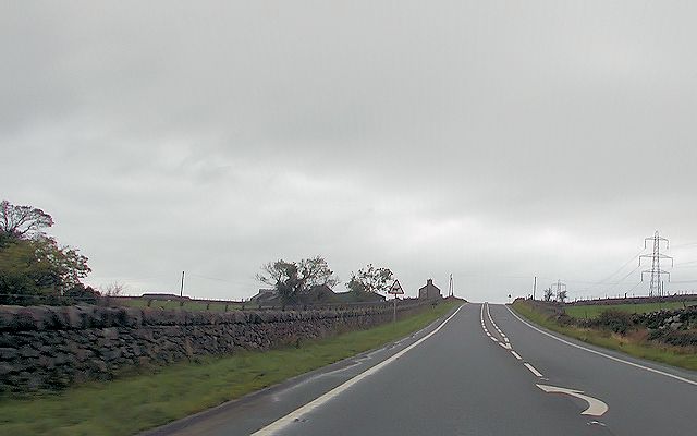
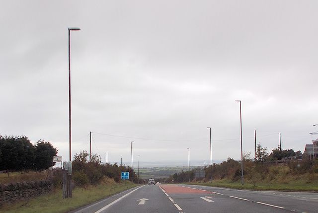
Access to Bryn-y-gôg is relatively straightforward, with various footpaths and trails leading to its summit. It is a popular destination for outdoor activities such as hiking, hillwalking, and birdwatching. The hill's proximity to nearby towns and villages, including Caernarfon and Llanberis, makes it easily accessible for both locals and tourists seeking an escape into nature.
If you have any feedback on the listing, please let us know in the comments section below.
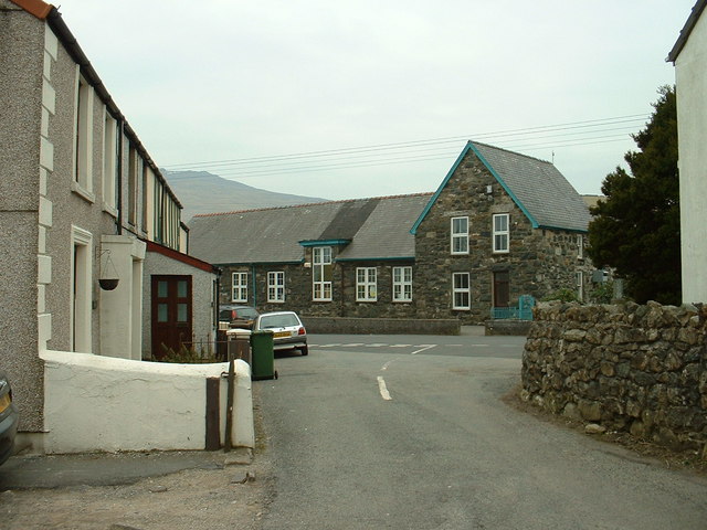
Bryn-y-gôg Images
Images are sourced within 2km of 53.022679/-4.2645577 or Grid Reference SH4849. Thanks to Geograph Open Source API. All images are credited.


Bryn-y-gôg is located at Grid Ref: SH4849 (Lat: 53.022679, Lng: -4.2645577)
Unitary Authority: Gwynedd
Police Authority: North Wales
What 3 Words
///precluded.panoramic.freedom. Near Talysarn, Gwynedd
Nearby Locations
Related Wikis

Capital Cymru
Capital Cymru is a local Welsh-language radio station owned and operated by Global. The station broadcasts to Gwynedd and Anglesey from studios in Gwersyllt...
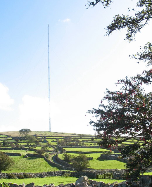
Arfon transmitting station
The Arfon transmitting station is a facility for FM, DAB digital radio and television transmission near the villages of Nebo and Nasareth in Gwynedd, northwestern...
Nebo, Gwynedd
Nebo is a small village in Gwynedd, Wales. It is adjacent to the small village of Nasareth and near the larger villages of Llanllyfni and Penygroes....

Nasareth
Nasareth (named for the biblical Nazareth), is a hamlet in the Nantlle Valley in Gwynedd, Wales. The Councillor for Nasareth is Owen Pennant Huws, which...
Nearby Amenities
Located within 500m of 53.022679,-4.2645577Have you been to Bryn-y-gôg?
Leave your review of Bryn-y-gôg below (or comments, questions and feedback).