A' Bhuidheanach
Hill, Mountain in Inverness-shire
Scotland
A' Bhuidheanach
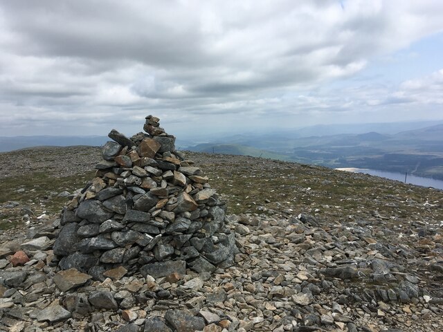
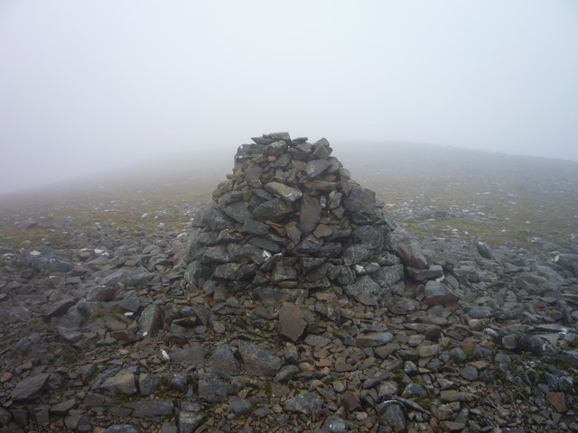
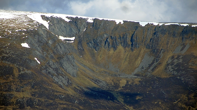
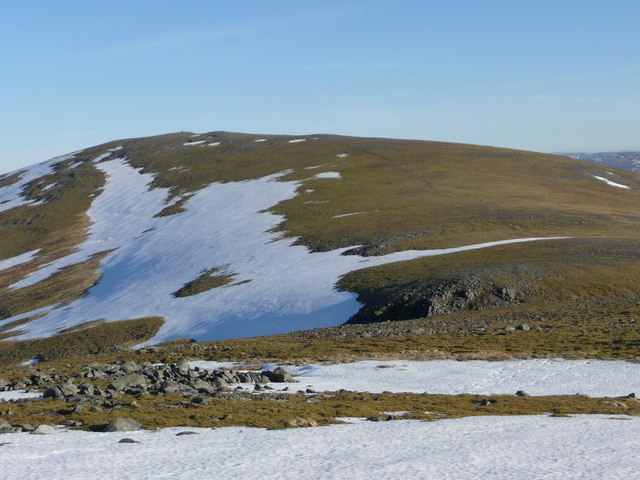
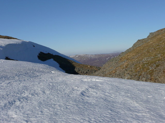
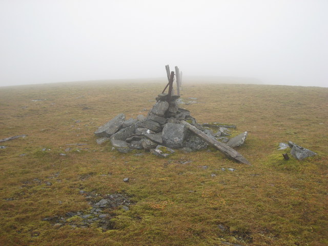
A' Bhuidheanach, located in Inverness-shire, Scotland, is a prominent hill situated in the Grampian Mountains. With an elevation of 936 meters (3070 feet), it is a popular destination for hikers and outdoor enthusiasts.
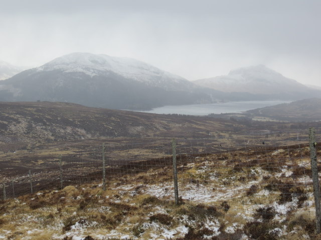
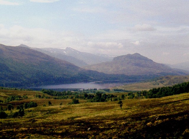
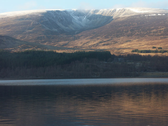
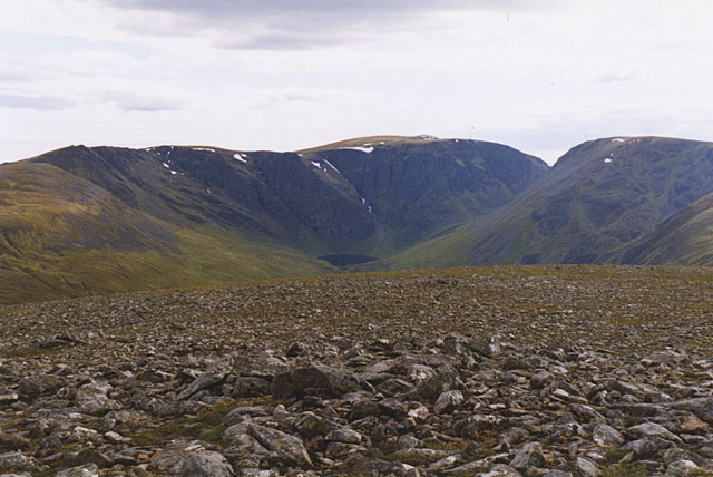
The hill offers breathtaking panoramic views of the surrounding countryside, including the nearby Loch Ness, which is renowned for its mythical creature, the Loch Ness Monster. A' Bhuidheanach is part of the Monadhliath Mountains, a range known for its rugged terrain and pristine natural beauty.
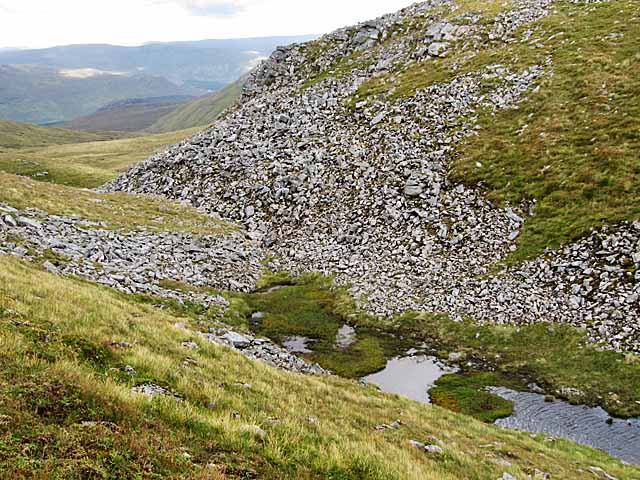
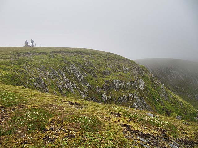
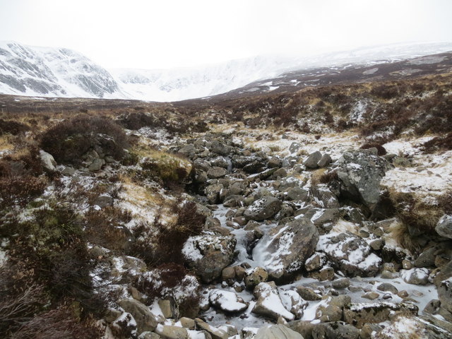
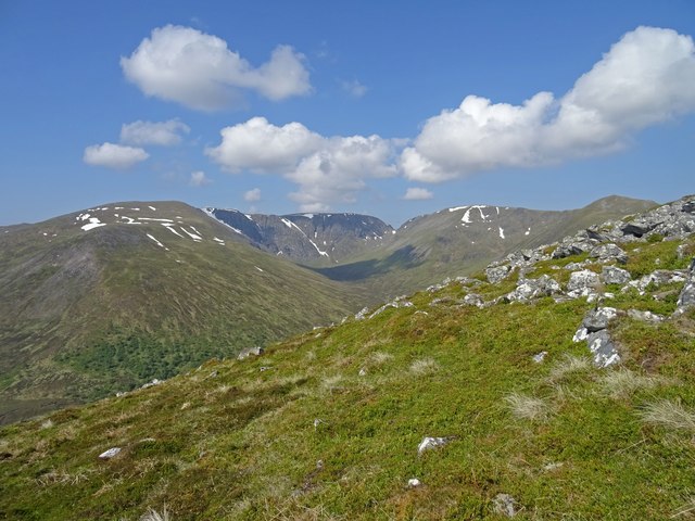
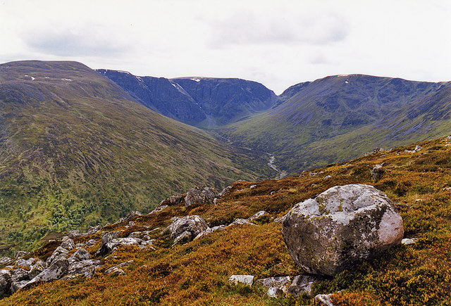
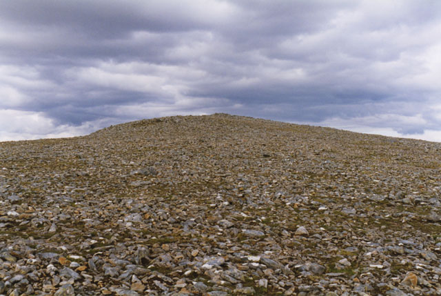
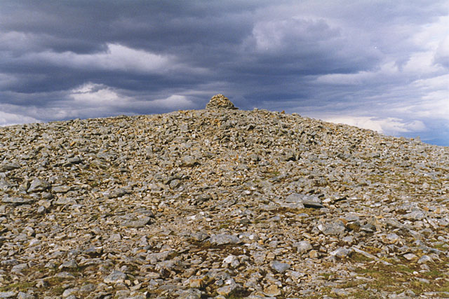
The ascent of A' Bhuidheanach can be challenging, as it requires traversing steep slopes and rocky terrain. However, the effort is well-rewarded, as the summit provides stunning vistas of the Scottish Highlands, with its rolling hills and vast stretches of heather-covered moorland.
The hill is rich in flora and fauna, with a variety of plant species, including heather, moss, and wildflowers, adorning its slopes. Wildlife enthusiasts may spot red deer, mountain hares, and various bird species, such as golden eagles and peregrine falcons, while exploring the area.
A' Bhuidheanach is a popular destination for hillwalkers and mountaineers, who can explore the surrounding area, including neighboring peaks like Carn na Caim. The hike to A' Bhuidheanach can be done as a standalone expedition or as part of a longer trek through the Monadhliath Mountains.
Those venturing to A' Bhuidheanach should come prepared with appropriate hiking gear, including sturdy footwear, warm clothing, and navigation equipment. The weather in the Scottish Highlands can be unpredictable, so it is advisable to check the forecast and be prepared for changes in conditions.
If you have any feedback on the listing, please let us know in the comments section below.
A' Bhuidheanach Images
Images are sourced within 2km of 56.982997/-4.5011358 or Grid Reference NN4890. Thanks to Geograph Open Source API. All images are credited.

A' Bhuidheanach is located at Grid Ref: NN4890 (Lat: 56.982997, Lng: -4.5011358)
Unitary Authority: Highland
Police Authority: Highlands and Islands
What 3 Words
///copying.diplomats.lime. Near Newtonmore, Highland
Nearby Locations
Related Wikis

A86 road
The A86 is a major road in Scotland. It runs from the Great Glen at Spean Bridge to Kingussie and the Cairngorms National Park via Loch Laggan. It is a...

Loch Laggan
Loch Laggan is a freshwater loch situated approximately 6+1⁄2 mi (10.5 km) west of Dalwhinnie in the Scottish Highlands. The loch has an irregular shape...
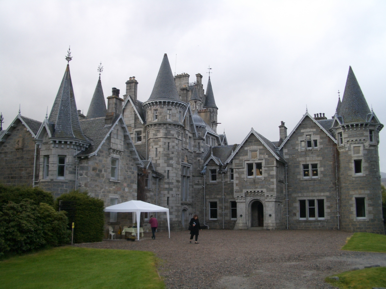
Ardverikie House
Ardverikie House is a 19th-century Scottish baronial house in Kinloch Laggan, Newtonmore, Inverness-shire, Scottish Highlands. The house was made famous...

East Highland Way
The East Highland Way (Scottish Gaelic: Slighe Gaidhealtachd an Ear) is a long-distance walking route in Scotland that connects Fort William (56.8178°N...

Kinloch Laggan
Kinloch Laggan (Scottish Gaelic: Ceann Loch Lagain) is a hamlet located at the head of Loch Laggan in Newtonmore, Inverness-shire, Scottish Highlands...

Loch Spey
Loch Spey is a small freshwater loch located in the Central Highlands of Scotland. This loch is significant because it forms the headwaters of the powerful...

Lochan na h-Earba
The single name Lochan na h-Earba is applied to two lochs to the south of Loch Laggan in Highland, Scotland, close to the historic boundary between Lochaber...

Creag Meagaidh
Creag Meagaidh (Scottish Gaelic: Creag Mèagaidh) is a mountain on the northern side of Glen Spean in the Highlands of Scotland. It is a complex mountain...
Nearby Amenities
Located within 500m of 56.982997,-4.5011358Have you been to A' Bhuidheanach?
Leave your review of A' Bhuidheanach below (or comments, questions and feedback).