Buckie Hill

Hill, Mountain in Wigtownshire

Scotland

Buckie Hill

Dinnans With its own Port Allen.
Let sleeping bulls lie!
Dinnans Credit: Russel Wills

Buckie Hill is a prominent hill located in the region of Wigtownshire in southwest Scotland. Rising to an elevation of approximately 213 meters (699 feet), it offers panoramic views of the surrounding countryside and is a popular destination for hikers and nature enthusiasts.

Situated near the town of Newton Stewart, Buckie Hill is part of a larger range of hills known as the Galloway Hills. Its distinctive shape and position make it easily recognizable from a distance. The hill is characterized by its gentle slopes and grassy terrain, making it accessible to both experienced climbers and casual walkers.

The summit of Buckie Hill provides breathtaking vistas of the surrounding landscapes, including the rolling hills and valleys of Wigtownshire, as well as glimpses of the nearby coastline. On clear days, it is said that one can even catch a glimpse of the Isle of Man in the distance.

The area around Buckie Hill is rich in flora and fauna, with a diverse range of plant species and wildlife inhabiting its slopes. During certain times of the year, the hill is adorned with colorful wildflowers, adding to its natural beauty.

Visitors to Buckie Hill can enjoy a variety of outdoor activities, such as hiking, picnicking, and birdwatching. The hill is easily accessible by foot, with well-maintained trails leading to the summit. Additionally, there are nearby parking facilities for those arriving by car.

Overall, Buckie Hill in Wigtownshire offers a scenic and enjoyable experience for nature lovers, providing a tranquil retreat from the hustle and bustle of everyday life.

If you have any feedback on the listing, please let us know in the comments section below.
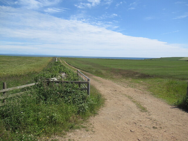
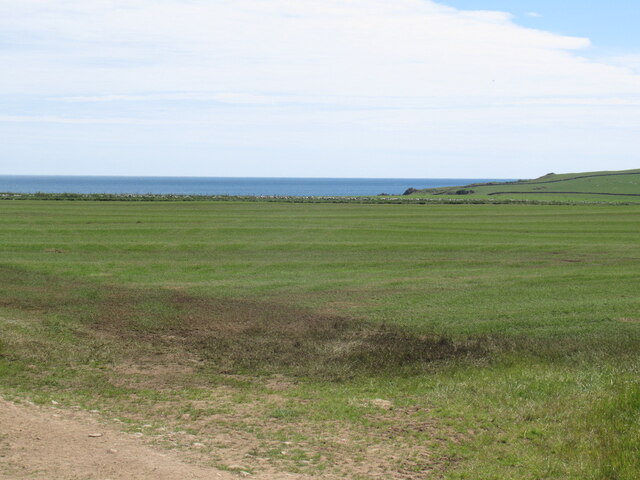
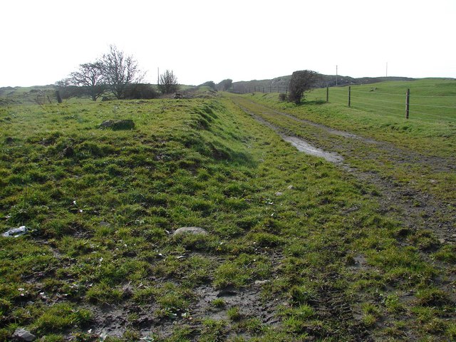
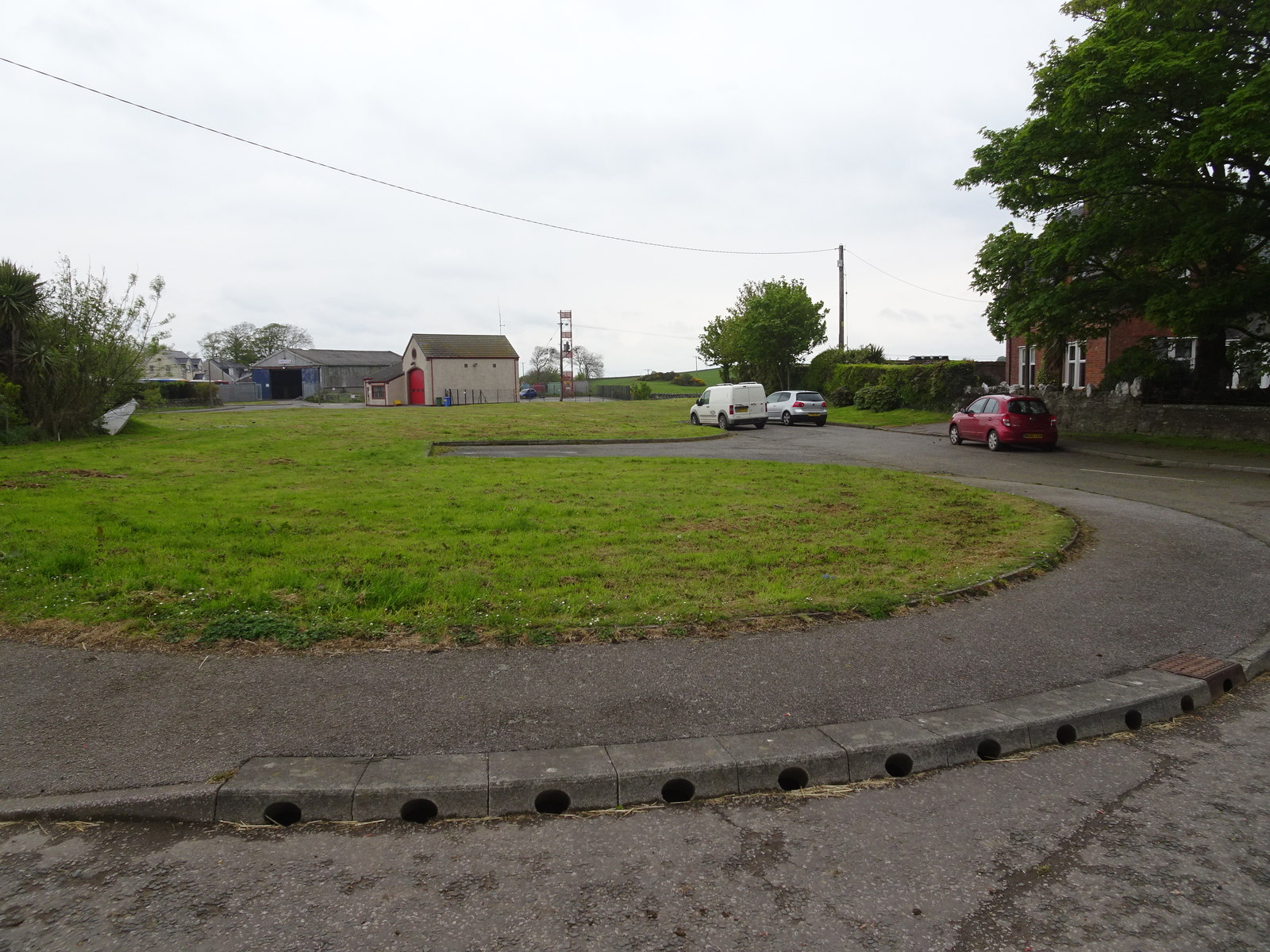
Buckie Hill Images

Images are sourced within 2km of 54.750624/-4.3623959 or Grid Reference NX4842. Thanks to Geograph Open Source API. All images are credited.

Dinnans With its own Port Allen.
Let sleeping bulls lie!
Dinnans
With its own Port Allen. Let sleeping bulls lie!
Cruggleton Old Church Cruggleton Church, still surrounded by a burial ground, was erected in the second quarter of the 12th. century. It had long been ruinous, when c.1890 it was restored by the Marquess of Bute. Sufficient details and fragments remained for an accurate restoration.
Cruggleton Old Church
Cruggleton Church, still surrounded by a burial ground, was erected in the second quarter of the 12th. century. It had long been ruinous, when c.1890 it was restored by the Marquess of Bute. Sufficient details and fragments remained for an accurate restoration.
Impressive wall enclosing the woodland Beside the road to Garlieston.
Impressive wall enclosing the woodland
Beside the road to Garlieston.
Cruggleton Old Church Viewed from the B7063.
Cruggleton Old Church
Viewed from the B7063.
Name Sign, Cruggleton Old Church Covered in Ivy next to the B7063.
Name Sign, Cruggleton Old Church
Covered in Ivy next to the B7063.
Cruggleton Old Church Zoomed in from the B7063.
Cruggleton Old Church
Zoomed in from the B7063.
Galloway Estate Wall The wall and woodland strip surrounding Galloway House.
Galloway Estate Wall
The wall and woodland strip surrounding Galloway House.
Fields, Cruggleton
Fields, Cruggleton
B7063 passing Cruggleton
On Gallow Hill View over Wigtown Bay. As well as the arable land here, there are grazed fields with lots of rock outcrops.
On Gallow Hill
View over Wigtown Bay. As well as the arable land here, there are grazed fields with lots of rock outcrops.
Summit area, Gallow Hill A hill with rock outcrops, a contrast to the drumlins that are common here.
Summit area, Gallow Hill
A hill with rock outcrops, a contrast to the drumlins that are common here.
West side of Gallow Hill
Cruggleton Church A small wood in a field of barley conceals an medieval chapel, restored in the 1890s.
Cruggleton Church
A small wood in a field of barley conceals an medieval chapel, restored in the 1890s.
Cruggleton Church A small wood in a field of barley conceals an medieval chapel, restored in the 1890s.
Cruggleton Church
A small wood in a field of barley conceals an medieval chapel, restored in the 1890s.
Farmland, Cruggleton Opposite side of the road to the church.
Farmland, Cruggleton
Opposite side of the road to the church.
Near Palmallet A track heading for the sea.
Near Palmallet
A track heading for the sea.
Machars arable Field near Palmallet.
Machars arable
Field near Palmallet.
Cruggleton Old Church Viewed from the B7063.
Cruggleton Old Church
Viewed from the B7063.
Show me another place!

Buckie Hill is located at Grid Ref: NX4842 (Lat: 54.750624, Lng: -4.3623959)

Unitary Authority: Dumfries and Galloway

Police Authority: Dumfries and Galloway

What 3 Words

///forest.dove.zoos. Near Whithorn, Dumfries & Galloway

Related Wikis

Broughton Skeog railway station

Broughton Skeog (NX4554444071) was a railway station that was located near level crossing gates over a minor road on the Wigtownshire Railway branch line...

Galloway House

Galloway House is a Category A listed country house in Sorbie, Dumfries and Galloway, Scotland. == History == Adjoining the estate village of Garlieston...

Whithorn railway station

Whithorn is the closed terminus of the Wigtownshire Railway branch, from Newton Stewart, of the Portpatrick and Wigtownshire Joint Railway. It served...

Whithorn

Whithorn (Scots pronunciation: [ˈʍɪthorn], Taigh Mhàrtainn in modern Gaelic), is a royal burgh in the historic county of Wigtownshire in Dumfries and Galloway...

Nearby Amenities

Located within 500m of 54.750624,-4.3623959
Source: PGS
Lat/Long: 54.746773/-4.362535
Source: PGS
Lat/Long: 54.7469795/-4.3622935
Source: PGS
Lat/Long: 54.747036/-4.361881
Source: PGS
Lat/Long: 54.747804/-4.361907
Source: PGS
Lat/Long: 54.748575/-4.36171
Source: PGS
Lat/Long: 54.748585/-4.360825
Source: PGS
Lat/Long: 54.7491/-4.360622
Source: PGS
Lat/Long: 54.749617/-4.360196
Source: PGS
Lat/Long: 54.750387/-4.36
Source: PGS
Lat/Long: 54.750525/-4.359119
Source: PGS
Lat/Long: 54.750656/-4.358902
Source: PGS
Lat/Long: 54.751173/-4.358477
Source: PGS
Lat/Long: 54.751303/-4.358259
Source: PGS
Lat/Long: 54.751441/-4.357378
Source: PGS
Lat/Long: 54.752975/-4.357652
Source: PGS
Lat/Long: 54.753226/-4.358103
Source: PGS
Lat/Long: 54.753477/-4.358554
Source: PGS
Lat/Long: 54.753984/-4.359014
Source: PGS
Lat/Long: 54.75424/-4.359023
Generator Method: wind_turbine
Generator Source: wind
Power: generator
Lat/Long: 54.7506164/-4.3624475
Generator Method: wind_turbine
Generator Source: wind
Power: generator
Lat/Long: 54.7511847/-4.3615644
Power: pole
Lat/Long: 54.7535198/-4.3671863
Power: pole
Lat/Long: 54.7530941/-4.3674476
Power: pole
Lat/Long: 54.7539445/-4.367169
The data included in this document is from www.openstreetmap.org. The data is made available under ODbL.

Have you been to Buckie Hill?

Leave your review of Buckie Hill below (or comments, questions and feedback).